Bellow Hill

Hill, Mountain in Yorkshire Richmondshire

England

Bellow Hill

Stone House Manor Grade II listed. Listing number 1167238.
1908. By architect Percy Morley Horder of London, for Hugh Arden Crallan (1867- 1929).
Stone House Manor Credit: Andrew Abbott

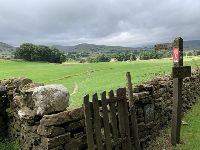
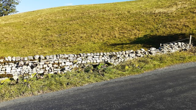
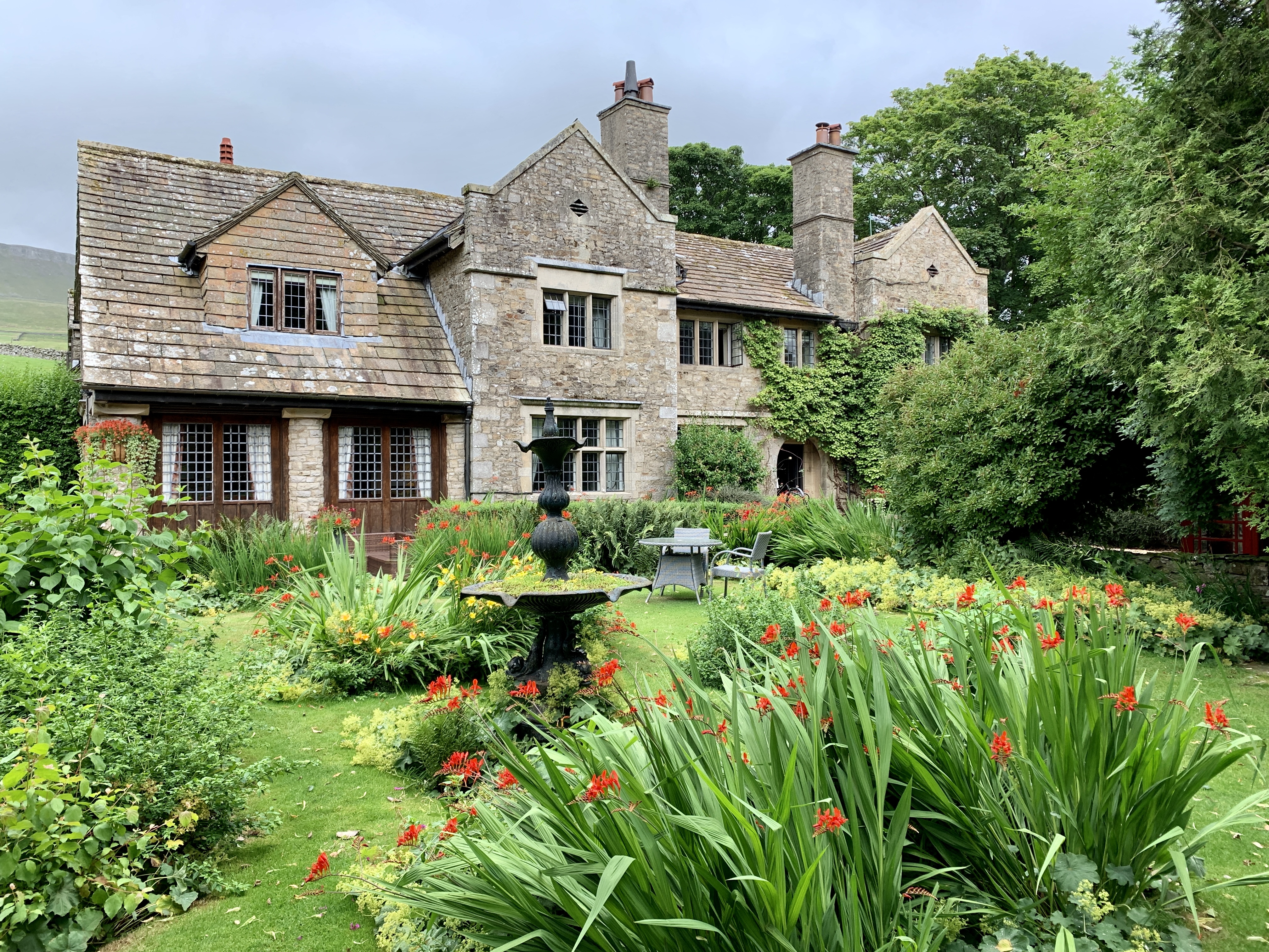
Bellow Hill, located in Yorkshire, is a prominent hill that stands tall amidst the picturesque landscape of the region. With an elevation of approximately 300 meters above sea level, it offers breathtaking views of the surrounding countryside. Bellow Hill is renowned for its unique geological features, characterized by its rocky outcrops and diverse flora and fauna.

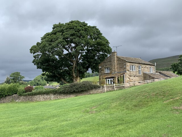
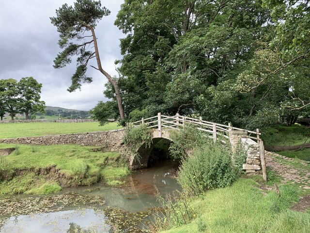
The hill is a popular destination for outdoor enthusiasts and nature lovers. It boasts a network of well-maintained trails and paths, making it ideal for hiking, walking, and cycling. The summit of Bellow Hill provides visitors with panoramic vistas of the rolling hills, lush valleys, and charming villages that dot the countryside.

One of the notable features of Bellow Hill is the presence of ancient ruins, which offer a glimpse into the area's rich history. These ruins, believed to be remnants of a medieval fortress, add an element of mystery and intrigue to the hill. Archaeological excavations have uncovered artifacts and structures that provide valuable insights into the past.

The hill is also home to a variety of wildlife, including birds of prey, deer, and various species of flora. Nature enthusiasts often flock to Bellow Hill to observe and photograph these creatures in their natural habitat. The hill's diverse ecosystem contributes to its designation as a protected area, ensuring the preservation of its natural beauty.

In conclusion, Bellow Hill in Yorkshire is a captivating destination that offers visitors stunning views, historical significance, and a chance to connect with nature. Whether it be for a leisurely stroll or an adventurous hike, Bellow Hill is a must-visit for anyone seeking tranquility and natural beauty.

If you have any feedback on the listing, please let us know in the comments section below.
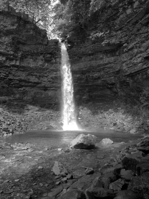
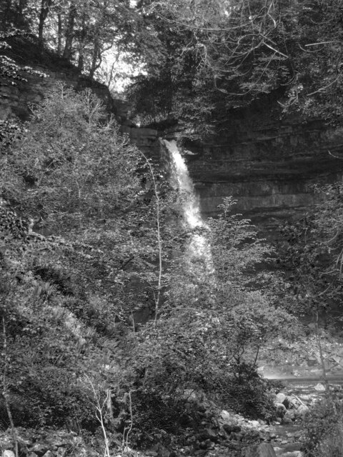
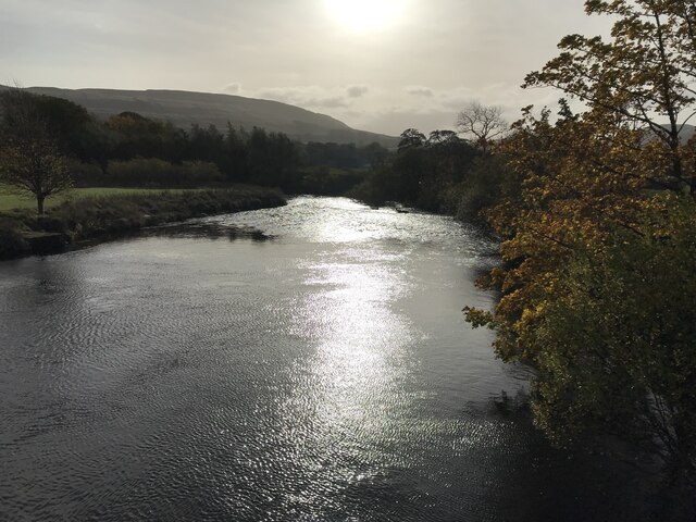
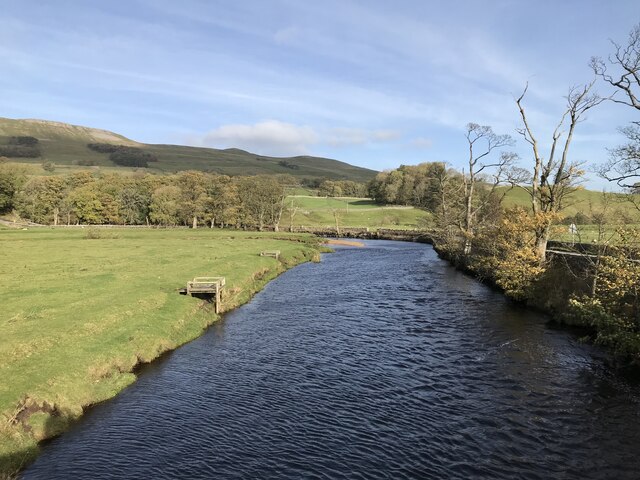
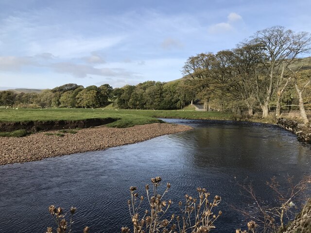
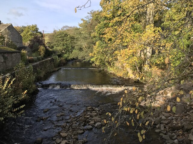
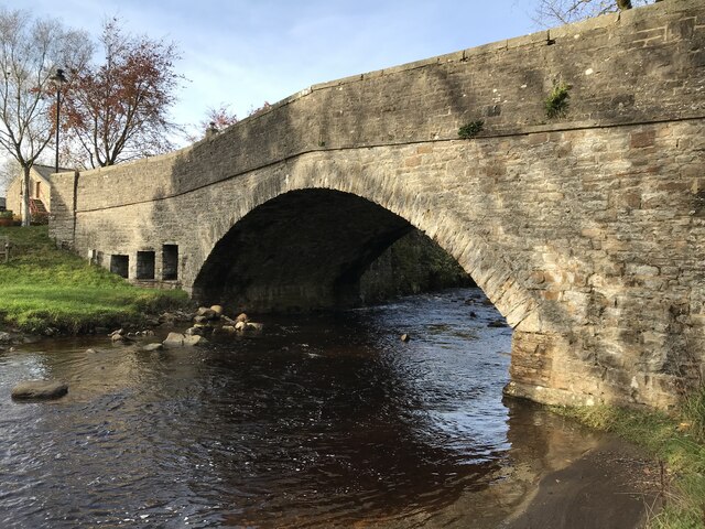
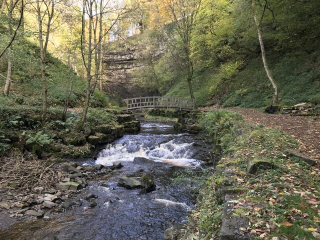
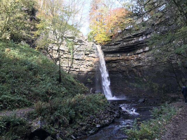
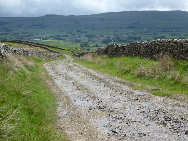
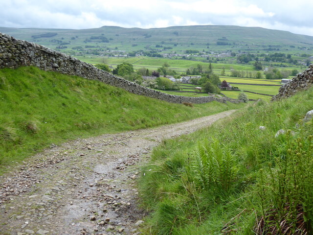
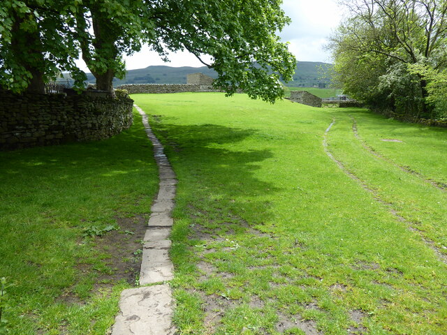
Bellow Hill Images

Images are sourced within 2km of 54.314735/-2.1973036 or Grid Reference SD8791. Thanks to Geograph Open Source API. All images are credited.

Stone House Manor Grade II listed. Listing number 1167238.
1908. By architect Percy Morley Horder of London, for Hugh Arden Crallan (1867- 1929).
Stone House Manor
Grade II listed. Listing number 1167238. 1908. By architect Percy Morley Horder of London, for Hugh Arden Crallan (1867- 1929).
Footpath to Haylands Bridge Above Hawes.
Footpath to Haylands Bridge
Above Hawes.
The Cow Pasture Barn Hawes, North Yorkshire.
The Cow Pasture Barn
Hawes, North Yorkshire.
Footbridge over the stream Near the River Ure.
Footbridge over the stream
Near the River Ure.
Dry stone wall on north side of road into Hardraw from the west Ordnance Survey documents indicate that a benchmark levelled at 232.477m above Newlyn Datum was verified in 1954 on a stone at the base of the wall
Dry stone wall on north side of road into Hardraw from the west
Ordnance Survey documents indicate that a benchmark levelled at 232.477m above Newlyn Datum was verified in 1954 on a stone at the base of the wall
Hardraw Force
Hardraw Force
Hardraw Force
Hardraw Force
River Ure
River Ure
River Ure
River Ure
River Ure
River Ure
Hardraw Beck
Hardraw Beck
Hardraw Bridge
Hardraw Bridge
Hardraw Beck
Hardraw Beck
Hardraw Force
Hardraw Force
Hardraw Force
Hardraw Force
The Pennine Way near Bluebell Hill
The Pennine Way near Hollin Hill
The Pennine Way near Hardraw
Show me another place!

Bellow Hill is located at Grid Ref: SD8791 (Lat: 54.314735, Lng: -2.1973036)

Division: North Riding

Administrative County: North Yorkshire

District: Richmondshire

Police Authority: North Yorkshire

What 3 Words

///ensemble.warthog.springing. Near Kirkby Stephen, Cumbria

Related Wikis

Simonstone, North Yorkshire

Simonstone is a hamlet near Hawes and Hardraw Force within the Yorkshire Dales in North Yorkshire, England. == References ==

St Mary and St John's Church, Hardraw

St Mary and St John's Church, Hardraw (also Hardrow) is a Grade II listed parish church in the Church of England: 181  in Hardraw, North Yorkshire. �...

Hardraw

Hardraw is a hamlet near Hawes within the Yorkshire Dales in North Yorkshire, England. It takes its name from the nearby Hardraw Force waterfall. The old...

Stone House, Hawes

Stone House is a Grade II listed building in the civil parish of High Abbotside, near Hawes, North Yorkshire, England. == History == Stone House was built...

Nearby Amenities

Located within 500m of 54.314735,-2.1973036
Fixme: stile, gate or entramce?
Lat/Long: 54.3174346/-2.2003266
Hardraw
Created By: Potlatch 0.10f
Is In County: North Yorkshire
Place: hamlet
Wikidata: Q960564
Lat/Long: 54.3160536/-2.2044983
Floshes Hill
Is In County: North Yorkshire
Natural: peak
Source: NPE
Lat/Long: 54.3111969/-2.2012024
Power: pole
Lat/Long: 54.3138306/-2.2046444
Power: pole
Lat/Long: 54.3139949/-2.2033087
Power: pole
Lat/Long: 54.3141404/-2.2024825
Power: pole
Lat/Long: 54.3138674/-2.2012219
Power: pole
Lat/Long: 54.3136624/-2.2002027
Power: pole
Lat/Long: 54.3134121/-2.1989072
Power: pole
Lat/Long: 54.3131867/-2.1975982
Power: pole
Lat/Long: 54.3129301/-2.1963242
Power: pole
Lat/Long: 54.3124686/-2.1938727
Power: pole
Lat/Long: 54.3122166/-2.1925262
Power: pole
Lat/Long: 54.3120195/-2.1913755
Barrier: stile
Lat/Long: 54.3187242/-2.1974023
Fixme: stile, gate or entramce?
Lat/Long: 54.3187761/-2.2003465
Barrier: stile
Lat/Long: 54.3179529/-2.202447
Fixme: stile, gate or entramce?
Lat/Long: 54.3173467/-2.2014554
Power: pole
Lat/Long: 54.3182505/-2.1948718
Power: pole
Lat/Long: 54.3189756/-2.1962283
Power: pole
Lat/Long: 54.3119584/-2.1923813
Power: pole
Lat/Long: 54.3176661/-2.1926133
Power: pole
Lat/Long: 54.317505/-2.1914358
Power: pole
Lat/Long: 54.312743/-2.1953301
Power: pole
Lat/Long: 54.3191614/-2.1982004
Bench
Backrest: yes
Material: wood
Tourism: artwork
Lat/Long: 54.3179475/-2.2024975
Post Box
Post Box Type: wall
Ref: DL8 45
Royal Cypher: GR
Royal Cypher Wikidata: Q33102273
Lat/Long: 54.3188987/-2.1976101
The data included in this document is from www.openstreetmap.org. The data is made available under ODbL.

Have you been to Bellow Hill?

Leave your review of Bellow Hill below (or comments, questions and feedback).