Stony Plantation
Wood, Forest in Yorkshire Richmondshire
England
Stony Plantation

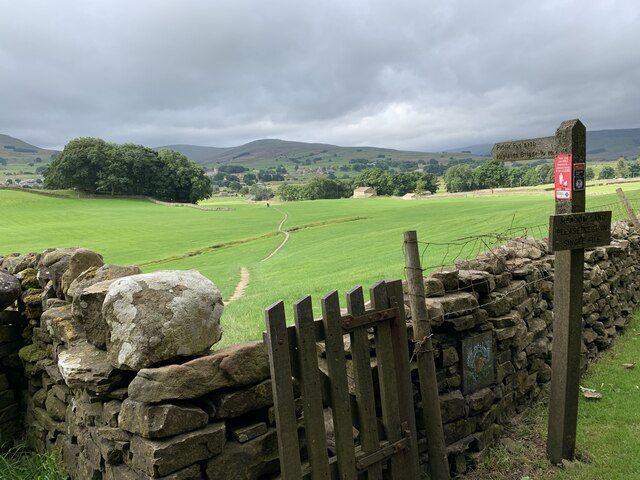
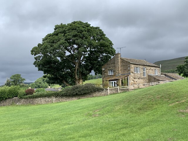
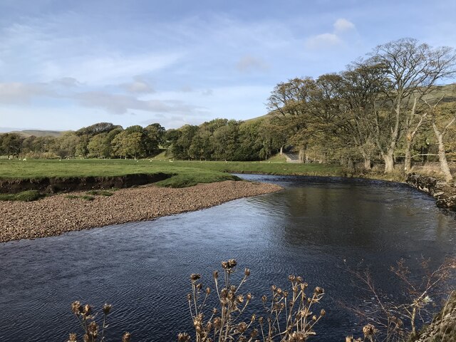
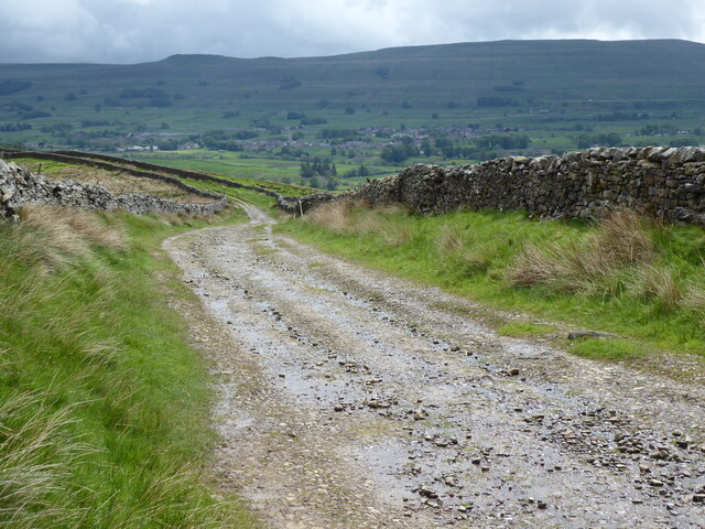
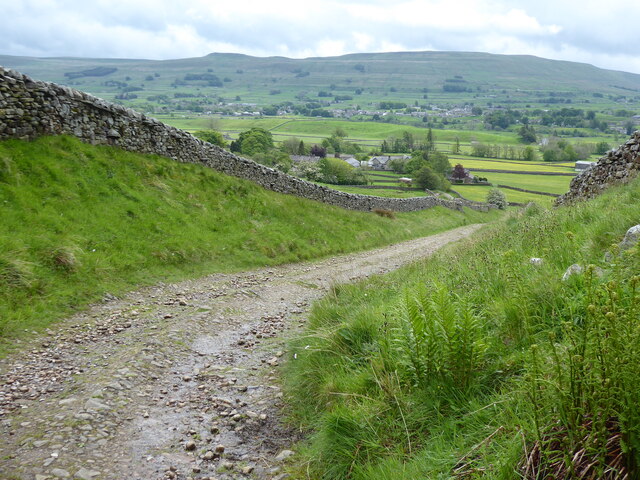
Stony Plantation, located in the picturesque region of Yorkshire, is a sprawling woodland forest renowned for its natural beauty and rich biodiversity. Covering a vast area, this enchanting plantation is a haven for nature enthusiasts and a popular destination for outdoor activities.
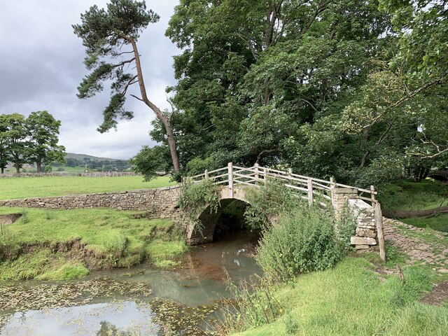
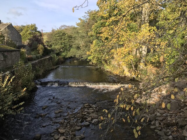
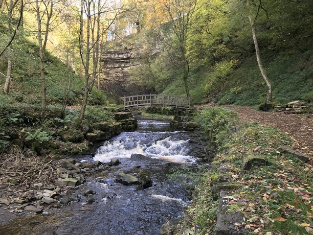
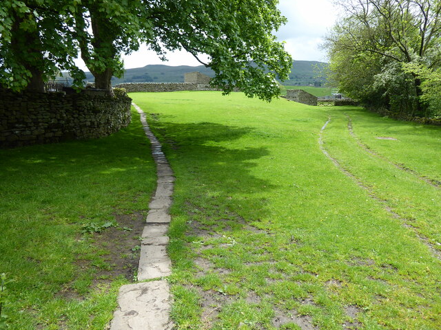
The forest is characterized by its dense canopy of towering trees, predominantly oak and beech, creating a serene and tranquil ambiance. The woodland floor is adorned with an array of shrubs, ferns, and wildflowers, providing a vibrant tapestry of colors throughout the seasons. The plantation is crisscrossed with numerous well-maintained trails, allowing visitors to explore its diverse landscapes and discover hidden gems.
Stony Plantation is home to a wide range of wildlife, making it a paradise for animal lovers and bird watchers. Roe deer, badgers, and foxes are commonly spotted among the trees, while the skies are filled with the melodious songs of various bird species, including woodpeckers and owls. Nature enthusiasts will also delight in the presence of rare and endangered species, such as the red squirrel and the lesser spotted woodpecker, which find sanctuary within this protected woodland.
The plantation offers a variety of recreational opportunities for visitors. Hiking and cycling trails wind through the forest, providing a chance to immerse oneself in nature while enjoying the invigorating fresh air. Picnic spots and designated camping areas are scattered throughout the woodland, inviting families and friends to spend quality time surrounded by nature's tranquility.
Stony Plantation, with its unspoiled beauty and abundant wildlife, is truly a treasure of Yorkshire, offering a captivating experience for all who venture into its leafy embrace.
If you have any feedback on the listing, please let us know in the comments section below.
Stony Plantation Images
Images are sourced within 2km of 54.323156/-2.1972209 or Grid Reference SD8791. Thanks to Geograph Open Source API. All images are credited.

Stony Plantation is located at Grid Ref: SD8791 (Lat: 54.323156, Lng: -2.1972209)
Division: North Riding
Administrative County: North Yorkshire
District: Richmondshire
Police Authority: North Yorkshire
What 3 Words
///employ.unclaimed.dialect. Near Kirkby Stephen, Cumbria
Nearby Locations
Related Wikis

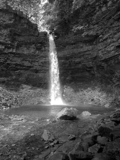
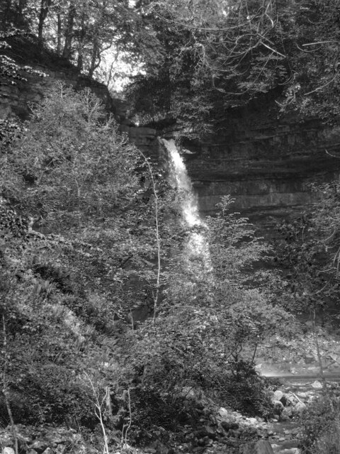
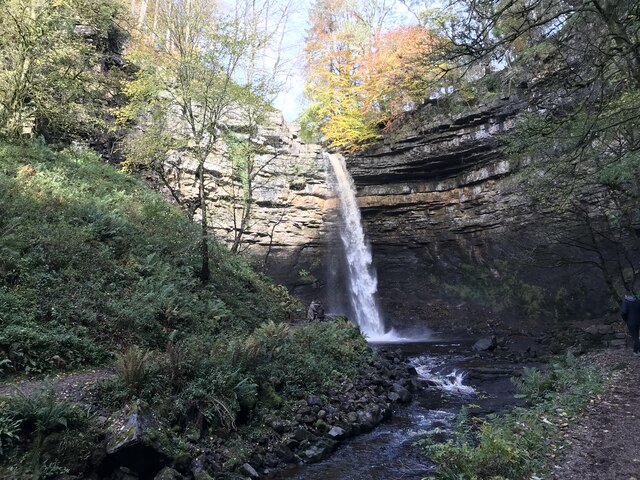
Hardraw Force
Hardraw Force (OS grid ref: SD869917) is a waterfall on Hardraw Beck in Hardraw Scar, a wooded ravine just outside the hamlet of Hardraw, 0.9 miles (1...

Simonstone, North Yorkshire
Simonstone is a hamlet near Hawes and Hardraw Force within the Yorkshire Dales in North Yorkshire, England. == References ==

St Mary and St John's Church, Hardraw
St Mary and St John's Church, Hardraw (also Hardrow) is a Grade II listed parish church in the Church of England: 181 in Hardraw, North Yorkshire. �...

Hardraw
Hardraw is a hamlet near Hawes within the Yorkshire Dales in North Yorkshire, England. It takes its name from the nearby Hardraw Force waterfall. The old...
Nearby Amenities
Located within 500m of 54.323156,-2.1972209Have you been to Stony Plantation?
Leave your review of Stony Plantation below (or comments, questions and feedback).