Parson's Coppice

Wood, Forest in Wiltshire

England

Parson's Coppice

East Knoyle, St, Mary's Church: North western aspect
East Knoyle, St, Mary's Church: North western aspect Credit: Michael Garlick

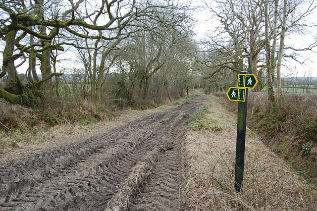
Parson's Coppice is a picturesque woodland located in Wiltshire, England. Situated just outside the village of Great Wishford, the coppice covers an area of approximately 20 acres and is a popular destination for nature enthusiasts and walkers.

The coppice is predominantly made up of beech trees, with their towering trunks and vibrant green foliage creating a stunning canopy above. This creates a tranquil and peaceful atmosphere, perfect for those looking to escape the hustle and bustle of everyday life.

The woodland is home to a variety of wildlife, including birds such as woodpeckers, owls, and thrushes. Visitors can often hear the melodic songs of these creatures as they explore the winding paths that meander through the trees. In addition to the avian residents, Parson's Coppice is also home to small mammals such as squirrels, voles, and hedgehogs.

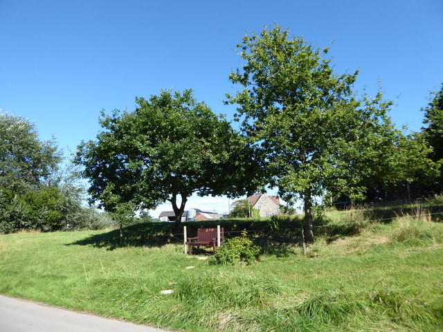
The woodland is well-maintained, with clear pathways and benches provided for visitors to rest and take in the beautiful surroundings. The terrain is relatively easy to navigate, making it accessible for people of all ages and abilities.

Parson's Coppice is also known for its rich history. It is believed to have been used as a source of timber for the local community in the past, and remnants of this activity can still be seen today in the form of coppiced trees and clearings.

In summary, Parson's Coppice in Wiltshire is a charming woodland retreat that offers a peaceful and enchanting experience for nature lovers. Its lush landscape, diverse wildlife, and historical significance make it a must-visit destination for anyone seeking a slice of tranquility in the heart of the English countryside.

If you have any feedback on the listing, please let us know in the comments section below.

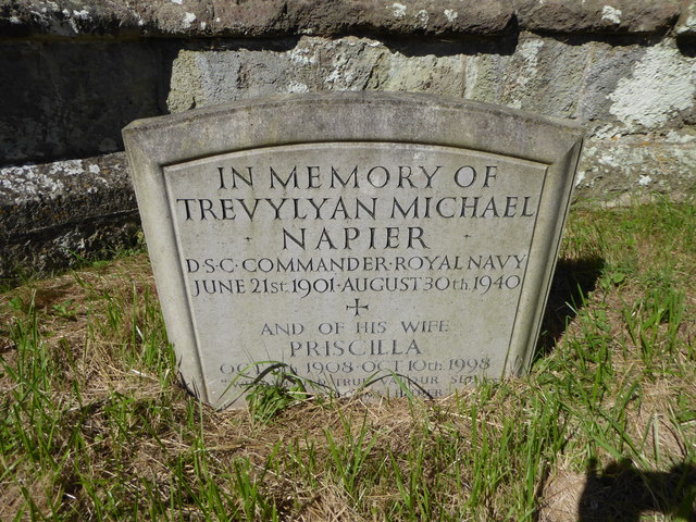
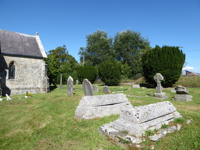
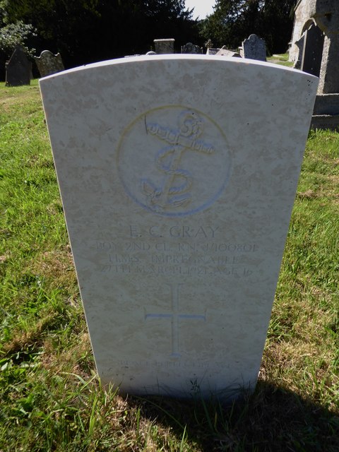
Parson's Coppice Images

Images are sourced within 2km of 51.068207/-2.1830697 or Grid Reference ST8729. Thanks to Geograph Open Source API. All images are credited.

East Knoyle, St, Mary's Church: North western aspect
East Knoyle, St, Mary's Church: Eastern aspect
East Knoyle: Community building
East Knoyle: Plantation access track
East Knoyle, St, Mary's Church: North eastern aspect
East Knoyle Windmill
Footpath/ Bridleway intersection
Clouds, East Knoyle A severely butchered house of 1879 (rebuilt 1889 after a fire) by Philip Webb for Percy Wyndham. The butchering took place in 1938 when the house was drastically reduced in size. There is still quite a lot left however, "without concession to grace" wrote Pevsner. Grade II* listed.
It is now a home for the treatment of alcohol and other drug addicts, run by Action on Addiction.
Clouds, East Knoyle
A severely butchered house of 1879 (rebuilt 1889 after a fire) by Philip Webb for Percy Wyndham. The butchering took place in 1938 when the house was drastically reduced in size. There is still quite a lot left however, "without concession to grace" wrote Pevsner. Grade II* listed. It is now a home for the treatment of alcohol and other drug addicts, run by Action on Addiction.
The Street, East Knoyle ca 1980
St Catherine, Sedgehill: late August 2016
St Mary, East Knoyle: late August 2016
Rush hour in Sedgehill
St Catherine, Sedgehill: churchyard (1)
St Catherine, Sedgehill: churchyard (2)
St Catherine, Sedgehill: churchyard (3) Also see <span class="nowrap"><a title="https://en.wikipedia.org/wiki/Priscilla_Napier" rel="nofollow ugc noopener" href="https://en.wikipedia.org/wiki/Priscilla_Napier">Link</a><img style="margin-left:2px;" alt="External link" title="External link - shift click to open in new window" src="https://s1.geograph.org.uk/img/external.png" width="10" height="10"/></span> <span class="nowrap"><a title="http://uboat.net/allies/commanders/1815.html" rel="nofollow ugc noopener" href="http://uboat.net/allies/commanders/1815.html">Link</a><img style="margin-left:2px;" alt="External link" title="External link - shift click to open in new window" src="https://s1.geograph.org.uk/img/external.png" width="10" height="10"/></span> and <span class="nowrap"><a title="http://www.cwgc.org/find-war-dead/casualty/2710207/NAPIER,%20TREVYLYAN%20MICHAEL" rel="nofollow ugc noopener" href="http://www.cwgc.org/find-war-dead/casualty/2710207/NAPIER,%20TREVYLYAN%20MICHAEL">Link</a><img style="margin-left:2px;" alt="External link" title="External link - shift click to open in new window" src="https://s1.geograph.org.uk/img/external.png" width="10" height="10"/></span>
St Catherine, Sedgehill: churchyard (3)
Also see LinkExternal link LinkExternal link and LinkExternal link
St Catherine, Sedgehill: churchyard (4)
St Catherine, Sedgehill: churchyard (5) Also see <span class="nowrap"><a title="http://www.cwgc.org/find-war-dead/casualty/405789/GRAY,%20E%20C" rel="nofollow ugc noopener" href="http://www.cwgc.org/find-war-dead/casualty/405789/GRAY,%20E%20C">Link</a><img style="margin-left:2px;" alt="External link" title="External link - shift click to open in new window" src="https://s1.geograph.org.uk/img/external.png" width="10" height="10"/></span>
St Catherine, Sedgehill: churchyard (5)
Also see LinkExternal link
Show me another place!

Parson's Coppice is located at Grid Ref: ST8729 (Lat: 51.068207, Lng: -2.1830697)

Unitary Authority: Wiltshire

Police Authority: Wiltshire

What 3 Words

///slugs.overnight.trio. Near Motcombe, Dorset

Nearby Locations

Parson's Coppice

Related Wikis

St. Mary's Church, East Knoyle

St. Mary's Church is a Church of England parish church in East Knoyle, Wiltshire, England. == History == The Church of England Parish Church of St Mary...

East Knoyle

East Knoyle is a village and civil parish in Wiltshire, in the south-west of England, just west of the A350 and about 9 miles (14 km) south of Warminster...

East Knoyle War Memorial

The East Knoyle War Memorial is a monument that commemorates the lives of soldiers from East Knoyle, Wiltshire, England, who were killed in war. Unveiled...

Clouds House

Clouds House, also known simply as Clouds, is a Grade II* listed building at East Knoyle in Wiltshire, England. Designed by Arts and Crafts architect Philip...

Nearby Amenities

Located within 500m of 51.068207,-2.1830697
The data included in this document is from www.openstreetmap.org. The data is made available under ODbL.

Have you been to Parson's Coppice?

Leave your review of Parson's Coppice below (or comments, questions and feedback).