Wergs Plantation
Wood, Forest in Staffordshire South Staffordshire
England
Wergs Plantation
Wergs Plantation is a serene and picturesque woodland located in Staffordshire, England. Spanning over a vast area, this enchanting forest is a popular destination amongst nature enthusiasts and hikers alike.
The plantation is characterized by its diverse range of trees, including oak, beech, and birch, which create a stunning tapestry of colors throughout the year. The forest floor is blanketed with a variety of wildflowers, adding to the beauty and charm of the area.
Tranquil pathways wind their way through the woodland, offering visitors the opportunity to explore the plantation at their own pace. These trails are well-maintained, ensuring a pleasant and comfortable hiking experience for all levels of fitness.
Wergs Plantation is also home to a wide array of wildlife, providing a haven for several species of birds, mammals, and insects. Birdwatchers will delight in spotting woodpeckers, nuthatches, and various other feathered friends. The forest also supports a healthy population of deer, who can occasionally be glimpsed gracefully roaming through the trees.
In addition to its natural beauty, Wergs Plantation boasts several amenities for visitors. There are designated picnic areas, where families can enjoy a leisurely lunch amidst the tranquil surroundings. The plantation also features well-placed benches and rest areas, allowing visitors to take a moment to appreciate the serene atmosphere.
Overall, Wergs Plantation in Staffordshire is a haven of tranquility and natural beauty, offering visitors a chance to immerse themselves in the wonders of the woodland and escape from the hustle and bustle of daily life.
If you have any feedback on the listing, please let us know in the comments section below.
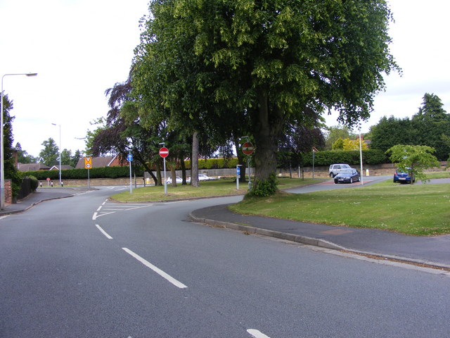
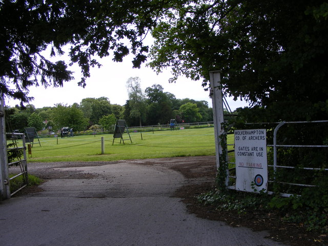
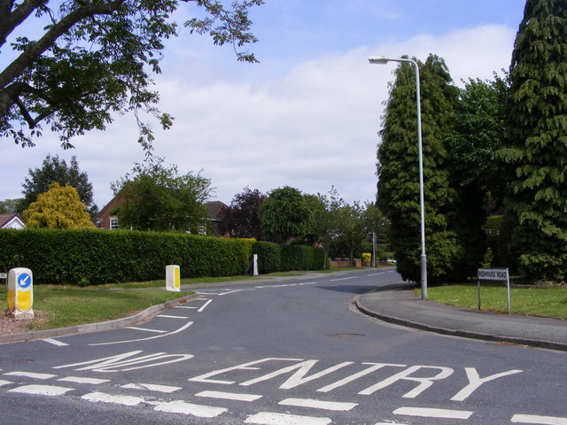
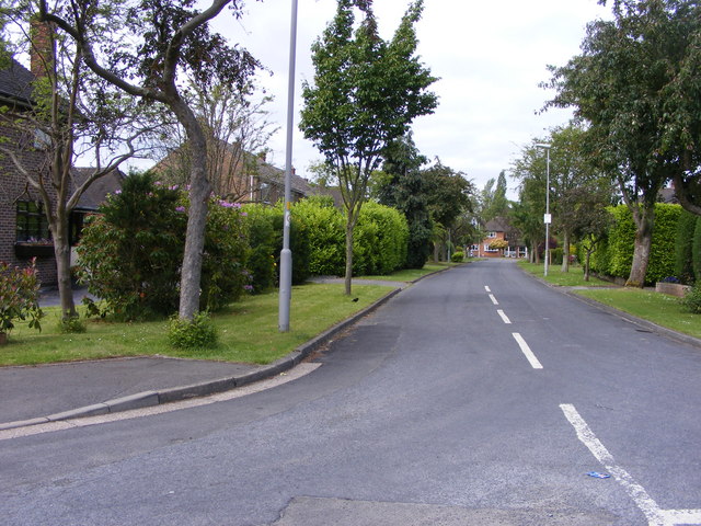
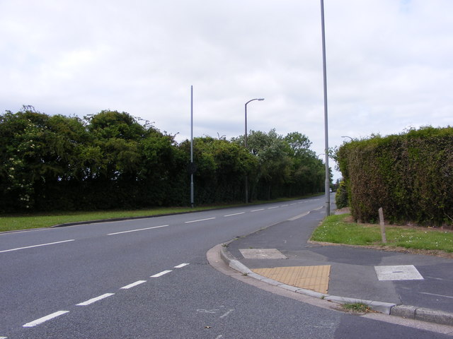
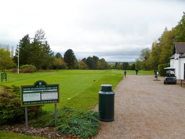
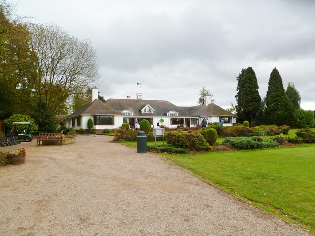
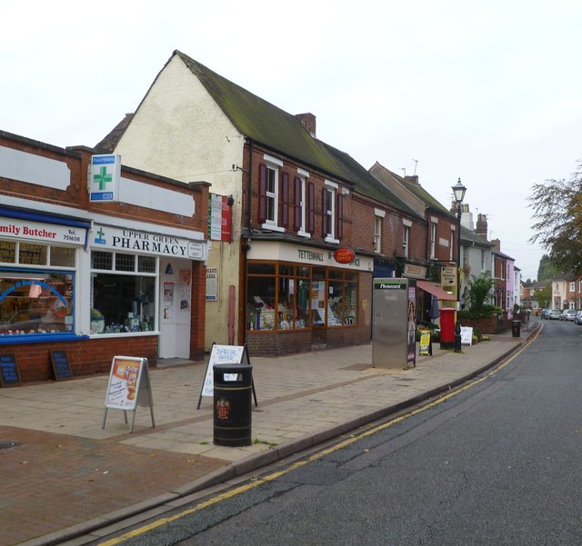
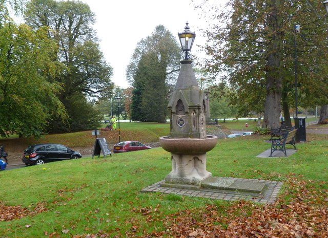
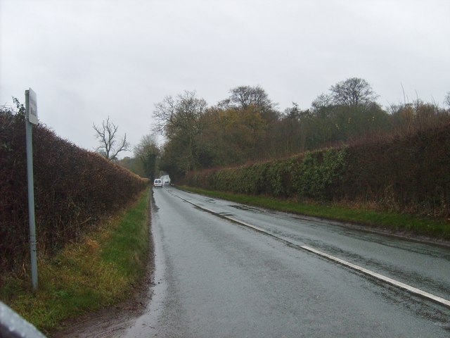
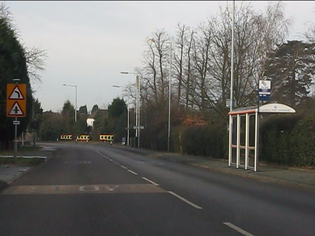
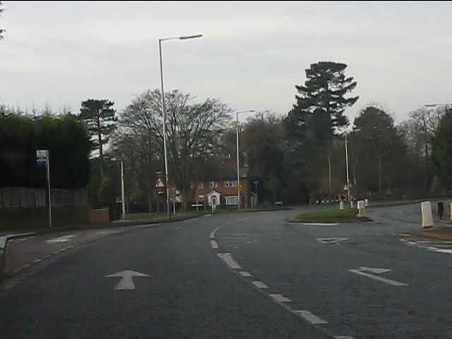
Wergs Plantation Images
Images are sourced within 2km of 52.610829/-2.1894592 or Grid Reference SJ8701. Thanks to Geograph Open Source API. All images are credited.
Wergs Plantation is located at Grid Ref: SJ8701 (Lat: 52.610829, Lng: -2.1894592)
Administrative County: Staffordshire
District: South Staffordshire
Police Authority: Staffordshire
What 3 Words
///grin.reap.theme. Near Codsall, Staffordshire
Nearby Locations
Related Wikis

Birches Bridge
Birches Bridge is an area of Codsall, Staffordshire. It is situated to the northwest of Wolverhampton between Bilbrook and Codsall. == Name and origins... ==

St Regis Church of England Academy
St Regis Church of England Academy is a coeducational Church of England secondary school and sixth form located at Tettenhall, 2.5 miles (4.0 km) north...

Bilbrook railway station
Bilbrook railway station is a railway station which serves the village of Bilbrook in Staffordshire, England. It was known as Birches and Bilbrook Halt...
Danescourt, Wolverhampton
Danescourt is a cricket ground in Wolverhampton, Staffordshire. The ground is located along the Danescourt Road, off of the A41 Road. It has played host...
Tettenhall Regis (ward)
Tettenhall Regis is a ward of Wolverhampton City Council, West Midlands. The population of this ward at the 2011 census was 11,911. == Geography == The...

South Staffordshire
South Staffordshire is a local government district in Staffordshire, England. The district lies to the north and west of the West Midlands county, bordering...
Codsall
Codsall is a large village in the South Staffordshire district of Staffordshire, England. It is situated 5 miles northwest of Wolverhampton and 13 miles...
Bilbrook, Staffordshire
Bilbrook is a village in the South Staffordshire district of Staffordshire, England. It is situated close to the border of the West Midlands, just outside...
Related Videos

National Trust Wightwick Manor 4K Walking Tour 2023
Taking a look round National Trust Wightwick Manor Wightwick Bank Wolverhampton WV6 8EE. As per usual the weather not ...
Mindful Nature Walk in an English Garden with Rain.
Enjoy a one hour walk around a beautiful English garden in the rain! See a country house, flowers, autumnal leaves, woodland, ...
Walking The South Staffordshire Railway Walk (Part 1)
The first part of my walk along the old Wombourne Branch Railway Line, which is made up of The Staffordshire Railway Walk, ...
Nearby Amenities
Located within 500m of 52.610829,-2.1894592Have you been to Wergs Plantation?
Leave your review of Wergs Plantation below (or comments, questions and feedback).