Wergs

Settlement in Staffordshire

England

Wergs

Tettenhall Rock milestone - detail Set into the retaining wall on the 'uphill' side of the cutting on Tettenhall Rock, few people probably even see this one - I've passed it almost every day for 20-odd years, and only spotted it a fortnight ago.
The lettering is cut into the stone, somewhat faded and indistinct now, and states Salop 25, Wolverhampton 2 and London 123.
Tettenhall Rock milestone - detail Credit: Richard Law

Wergs is a small village located in the county of Staffordshire, England. Situated approximately 4 miles northwest of the city of Wolverhampton, it falls within the South Staffordshire district. The village is nestled in the picturesque countryside, offering a tranquil and idyllic setting for its residents.

Wergs has a rich history dating back several centuries, with evidence of human habitation in the area since prehistoric times. The village is characterized by its charming old buildings, including a beautiful church, St. John's Church, which dates back to the 12th century. The church is known for its stunning architecture and historic significance.

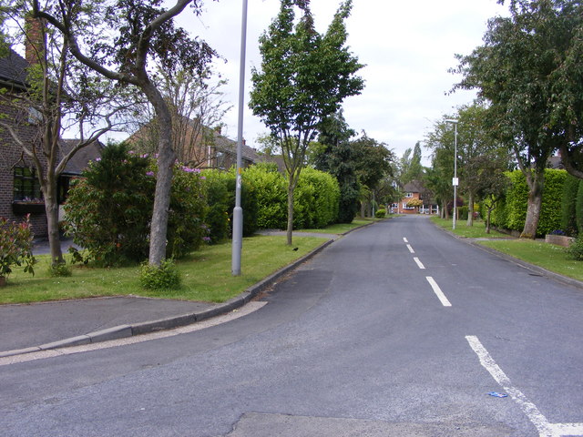
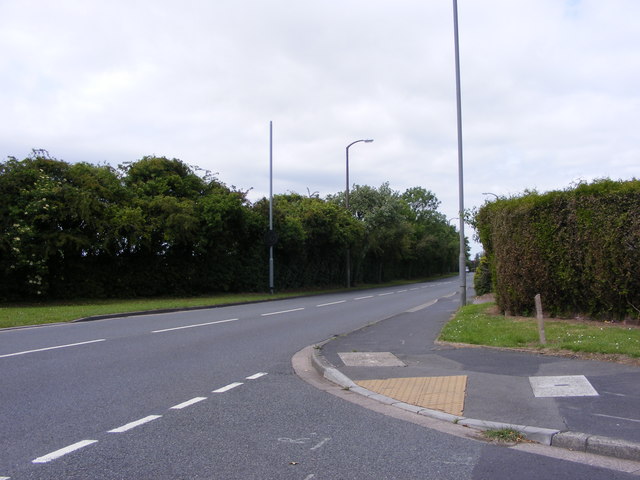
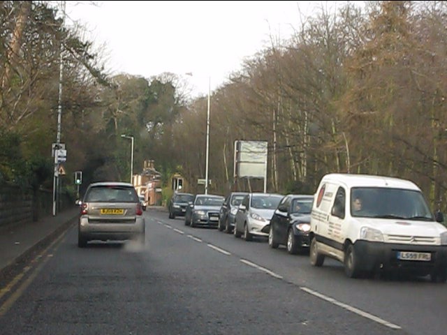
Despite its small size, Wergs benefits from its proximity to nearby towns and cities, offering residents easy access to various amenities and services. The village is well-connected by road, with the A41 and A454 passing nearby, providing convenient transportation links to Wolverhampton and other neighboring areas.

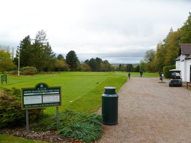
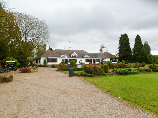
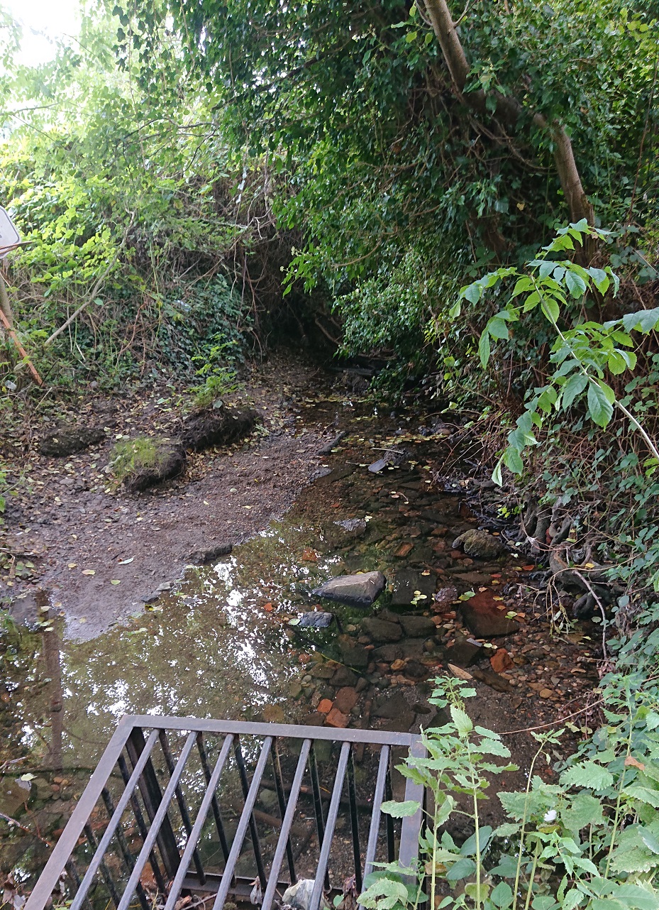
Surrounded by rolling hills and verdant landscapes, Wergs is a haven for nature lovers. The village boasts beautiful walking trails and green spaces, making it an ideal location for outdoor activities such as hiking and cycling. The nearby Wergs Golf Club offers a picturesque course for golf enthusiasts.

Wergs is known for its tight-knit community and friendly atmosphere. It offers a peaceful and tranquil lifestyle, away from the hustle and bustle of city living, while still providing easy access to urban amenities. The village's charm, historical significance, and natural beauty make it an appealing place to live for those seeking a peaceful retreat in the heart of Staffordshire.

If you have any feedback on the listing, please let us know in the comments section below.
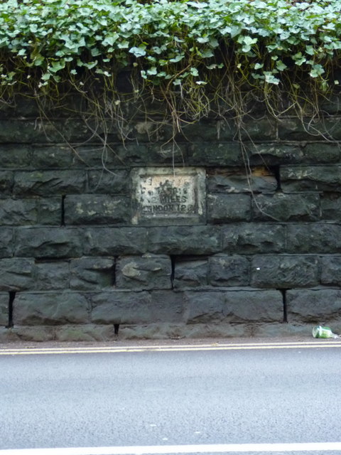
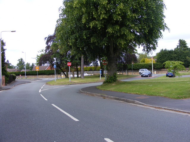
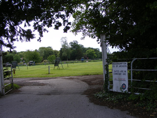
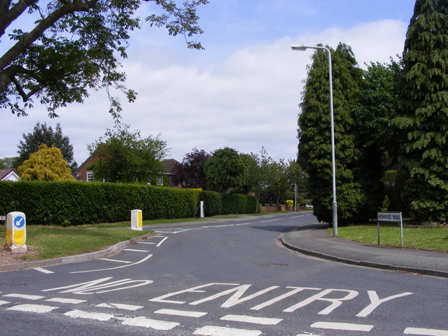
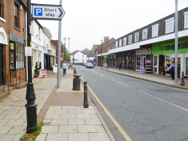
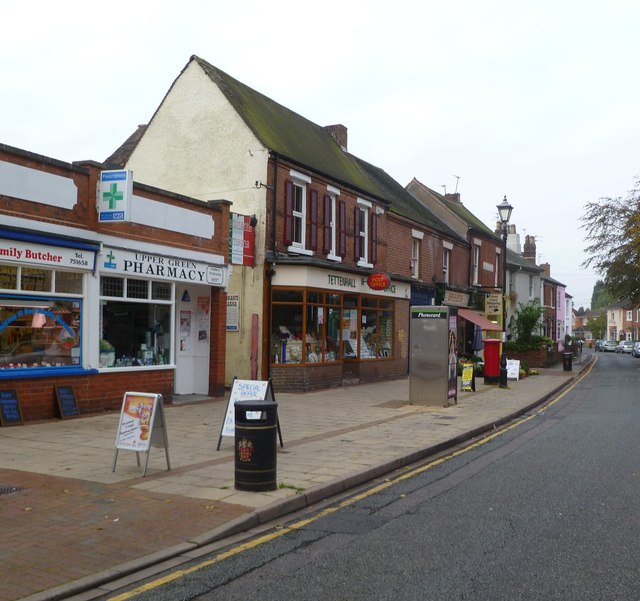
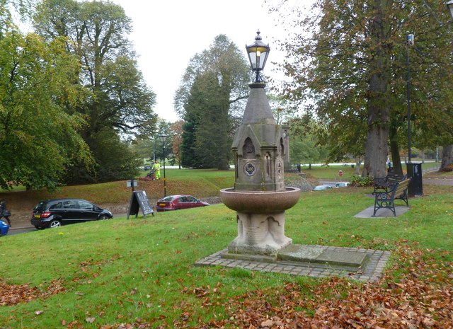
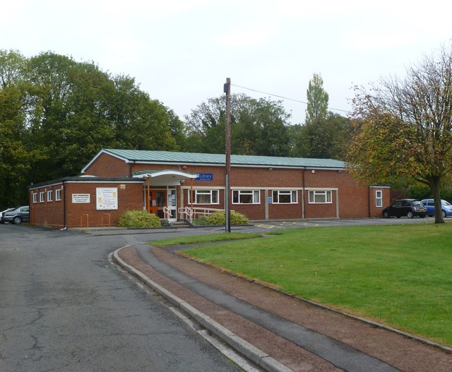
Wergs Images

Images are sourced within 2km of 52.606839/-2.188482 or Grid Reference SJ8701. Thanks to Geograph Open Source API. All images are credited.

Tettenhall Rock milestone - detail Set into the retaining wall on the 'uphill' side of the cutting on Tettenhall Rock, few people probably even see this one - I've passed it almost every day for 20-odd years, and only spotted it a fortnight ago.
The lettering is cut into the stone, somewhat faded and indistinct now, and states Salop 25, Wolverhampton 2 and London 123.
Tettenhall Rock milestone - detail
Set into the retaining wall on the 'uphill' side of the cutting on Tettenhall Rock, few people probably even see this one - I've passed it almost every day for 20-odd years, and only spotted it a fortnight ago. The lettering is cut into the stone, somewhat faded and indistinct now, and states Salop 25, Wolverhampton 2 and London 123.
Wergs Junction Yew Tree Lane joins the A41 Holyhead road at the Wergs, Wolverhampton.
Wergs Junction
Yew Tree Lane joins the A41 Holyhead road at the Wergs, Wolverhampton.
Company of Archers The view of the Wolverhampton Company ground off the Wergs Hall Road, Tettenhall.
Company of Archers
The view of the Wolverhampton Company ground off the Wergs Hall Road, Tettenhall.
Redhouse Road The view from Woodthorne Road South, Wolverhampton.
Redhouse Road
The view from Woodthorne Road South, Wolverhampton.
Wrekin Drive The view from Wrekin Lane, Wolverhampton.
Wrekin Drive
The view from Wrekin Lane, Wolverhampton.
Yew Tree Lane View The view from Wrekin Lane, Wolverhampton.
Yew Tree Lane View
The view from Wrekin Lane, Wolverhampton.
Tettenhall, golf club South Staffs Golf Club, looking from tee no.1, with the shop to right. <span class="nowrap"><a title="http://www.southstaffordshiregolfclub.co.uk/" rel="nofollow ugc noopener" href="http://www.southstaffordshiregolfclub.co.uk/">Link</a><img style="margin-left:2px;" alt="External link" title="External link - shift click to open in new window" src="https://s1.geograph.org.uk/img/external.png" width="10" height="10"/></span>
Tettenhall, golf club
South Staffs Golf Club, looking from tee no.1, with the shop to right. LinkExternal link
Tettenhall, golf clubhouse At South Staffs Golf Club: <span class="nowrap"><a title="http://www.southstaffordshiregolfclub.co.uk/The_Clubhouse" rel="nofollow ugc noopener" href="http://www.southstaffordshiregolfclub.co.uk/The_Clubhouse">Link</a><img style="margin-left:2px;" alt="External link" title="External link - shift click to open in new window" src="https://s1.geograph.org.uk/img/external.png" width="10" height="10"/></span>
Tettenhall, golf clubhouse
At South Staffs Golf Club: LinkExternal link
Tettenhall High Street Looking towards Upper Green; the high street currently offers a foodstore, newsagents and several independent shops, including a butchery.
Tettenhall High Street
Looking towards Upper Green; the high street currently offers a foodstore, newsagents and several independent shops, including a butchery.
Tettenhall Post Office On Upper Green.
Tettenhall Post Office
On Upper Green.
Tettenhall, drinking fountain On Upper Green; according to a plaque, installed in 1890, and re-located and restored as a millennium project in 2000.
Tettenhall, drinking fountain
On Upper Green; according to a plaque, installed in 1890, and re-located and restored as a millennium project in 2000.
Tettenhall Library Off Upper Street, maintained by Wolverhampton City Council: <span class="nowrap"><a title="http://www.wolverhampton.gov.uk/leisure_culture/libraries/branch/tettenhall.htm" rel="nofollow ugc noopener" href="http://www.wolverhampton.gov.uk/leisure_culture/libraries/branch/tettenhall.htm">Link</a><img style="margin-left:2px;" alt="External link" title="External link - shift click to open in new window" src="https://s1.geograph.org.uk/img/external.png" width="10" height="10"/></span>
Tettenhall Library
Off Upper Street, maintained by Wolverhampton City Council: LinkExternal link
Tents for Sale The view in Codsall and Wergs Garden Centre.
Tents for Sale
The view in Codsall and Wergs Garden Centre.
Codsall and Wergs Garden Centre.
Garden Figures The view in Codsall and Wergs Garden Centre.
Garden Figures
The view in Codsall and Wergs Garden Centre.
Rainy Wergs Hall Lane The view down the Codsall to Wergs Lane.
Rainy Wergs Hall Lane
The view down the Codsall to Wergs Lane.
The Rock (A41) north of Henwood Road traffic lights
The Rock (A41) at Stockwell Road crossroads
Show me another place!

Wergs is located at Grid Ref: SJ8701 (Lat: 52.606839, Lng: -2.188482)

Unitary Authority: Wolverhampton

Police Authority: West Midlands

What 3 Words

///slips.even.bids. Near Codsall, Staffordshire

Related Wikis

St Regis Church of England Academy

St Regis Church of England Academy is a coeducational Church of England secondary school and sixth form located at Tettenhall, 2.5 miles (4.0 km) north...

Danescourt, Wolverhampton

Danescourt is a cricket ground in Wolverhampton, Staffordshire. The ground is located along the Danescourt Road, off of the A41 Road. It has played host...

Tettenhall Regis (ward)

Tettenhall Regis is a ward of Wolverhampton City Council, West Midlands. The population of this ward at the 2011 census was 11,911. == Geography == The...

Tettenhall

Tettenhall is an historic village within the City of Wolverhampton, England. Tettenhall became part of Wolverhampton in 1966, along with Bilston, Wednesfield...

Tettenhall Wood

Tettenhall Wood is a suburb of Wolverhampton, West Midlands, England. It is west of Wolverhampton city centre, within the Tettenhall Wightwick ward. It...

Tettenhall College

Tettenhall College is a co-educational private day and boarding school located in the Wolverhampton suburb of Tettenhall in England. == History == The...

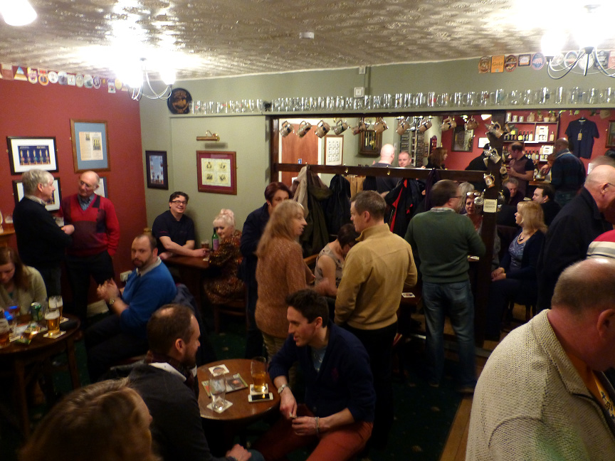
Hail to the Ale, Wolverhampton

Hail to the Ale is a micropub at Claregate, Wolverhampton, WV6 9JN. The pub is owned by Gary and Angela Morton of Morton Brewery, based in nearby Essington...

Birches Bridge

Birches Bridge is an area of Codsall, Staffordshire. It is situated to the northwest of Wolverhampton between Bilbrook and Codsall. == Name and origins... ==

Nearby Amenities

Located within 500m of 52.606839,-2.188482
Post Box
Lat/Long: 52.6069624/-2.194844
Bus Stop
Wergs Rd / The Elms
Bus: yes
Naptan AtcoCode: 43000745301
Naptan Bearing: NW
Naptan BusStopType: MKD
Naptan CommonName: The Elms
Naptan Indicator: opp
Naptan NaptanCode: nwmjmgmt
Naptan PlusbusZoneRef: BHAMNWS
Naptan Status: ACT
Naptan StopType: BCT
Naptan Street: WERGS RD
Naptan Towards: Cosford
Naptan Verified: no
Public Transport: platform
Route Ref: 891
Source: WMCA
Lat/Long: 52.6055176/-2.1861032
Bus Stop
Wergs Rd / The Elms
NaPTANAreaCode: 43000745302
Bus: yes
Naptan AtcoCode: 43000745302
Naptan Bearing: SE
Naptan BusStopType: MKD
Naptan CommonName: The Elms
Naptan Indicator: adj
Naptan NaptanCode: nwmjmgmw
Naptan PlusbusZoneRef: BHAMNWS
Naptan Status: ACT
Naptan StopType: BCT
Naptan Street: WERGS RD
Naptan Towards: Wolverhampton
Naptan Verified: no
Public Transport: platform
Route Ref: 891
Shelter: yes
Shelter Ref: 101806
Source: WMCA
Lat/Long: 52.605894/-2.1868284
Bus Stop
Wergs Rd / Wergs Village
Bus: yes
Naptan AtcoCode: 43000745401
Naptan Bearing: W
Naptan BusStopType: MKD
Naptan CommonName: Wergs Village
Naptan Indicator: opp
Naptan NaptanCode: nwmtdagw
Naptan Status: ACT
Naptan StopType: BCT
Naptan Street: WERGS RD
Naptan Towards: Cosford
Naptan Verified: no
Public Transport: platform
Route Ref: 891
Source: WMCA
Lat/Long: 52.6060204/-2.1921597
Bus Stop
Wergs Rd / Wergs Village
Bus: yes
Naptan AtcoCode: 43000745402
Naptan Bearing: E
Naptan BusStopType: MKD
Naptan CommonName: Wergs Village
Naptan Indicator: adj
Naptan NaptanCode: nwmtdaja
Naptan Status: ACT
Naptan StopType: BCT
Naptan Street: WERGS RD
Naptan Towards: Wolverhampton
Naptan Verified: no
Public Transport: platform
Route Ref: 891
Source: WMCA
Lat/Long: 52.6062458/-2.1917325
Turning Circle
Source: bing
Lat/Long: 52.6046604/-2.192369
Give Way
Source: bing
Lat/Long: 52.6062923/-2.1936679
Give Way
Lat/Long: 52.6063726/-2.1882011
Give Way
Lat/Long: 52.6063873/-2.1883969
Stop
Lat/Long: 52.6062618/-2.1883728
Give Way
Source: bing
Lat/Long: 52.6063783/-2.1934891
Give Way
Source: bing
Lat/Long: 52.6062513/-2.1932035
Give Way
Source: bing
Lat/Long: 52.6062309/-2.1922352
Give Way
Source: bing
Lat/Long: 52.6062749/-2.1923559
Generator Method: photovoltaic
Generator Output Electricity: yes
Generator Source: solar
Generator Type: solar_photovoltaic_panel
Location: roof
Power: generator
Lat/Long: 52.6035835/-2.1901417
Generator Method: photovoltaic
Generator Output Electricity: yes
Generator Source: solar
Generator Type: solar_photovoltaic_panel
Location: roof
Power: generator
Lat/Long: 52.6040192/-2.1897326
Generator Method: photovoltaic
Generator Output Electricity: yes
Generator Source: solar
Generator Type: solar_photovoltaic_panel
Location: roof
Power: generator
Lat/Long: 52.604433/-2.1880952
The data included in this document is from www.openstreetmap.org. The data is made available under ODbL.

Have you been to Wergs?

Leave your review of Wergs below (or comments, questions and feedback).