Bedford Spinney

Wood, Forest in Staffordshire South Staffordshire

England

Bedford Spinney

Wergs Junction Yew Tree Lane joins the A41 Holyhead road at the Wergs, Wolverhampton.
Wergs Junction Credit: Gordon Griffiths

Bedford Spinney is a picturesque woodland area located in the county of Staffordshire, England. Covering an area of approximately 10 acres, it is nestled on the outskirts of the charming village of Bedford, surrounded by rolling countryside and scenic landscapes.

The Spinney is characterized by its dense forest of mainly deciduous trees, including oak, beech, and birch, which provide a stunning display of vibrant colors during the autumn months. The woodland floor is carpeted with a variety of wildflowers, ferns, and mosses, creating a diverse and thriving ecosystem.

The area is a haven for nature enthusiasts and hikers, offering a network of well-maintained walking trails that wind through the woodland. These trails provide visitors with the opportunity to explore the area's rich biodiversity, spot native wildlife such as deer, foxes, and various bird species, and enjoy the tranquil ambiance of the surroundings.

Bedford Spinney also serves as an important habitat for a range of woodland creatures, including bats, badgers, and squirrels. The management of the woodland aims to preserve and enhance the natural habitat, promoting conservation and biodiversity.

In addition to its natural beauty, Bedford Spinney is also home to a small picnic area where visitors can relax and enjoy a leisurely lunch amidst the serene surroundings. The site is equipped with picnic benches, making it an ideal spot for families and nature enthusiasts to unwind and soak up the peaceful atmosphere.

Overall, Bedford Spinney is a hidden gem in Staffordshire, offering a tranquil escape from the hustle and bustle of daily life, and providing a diverse and captivating natural environment for all to enjoy.

If you have any feedback on the listing, please let us know in the comments section below.

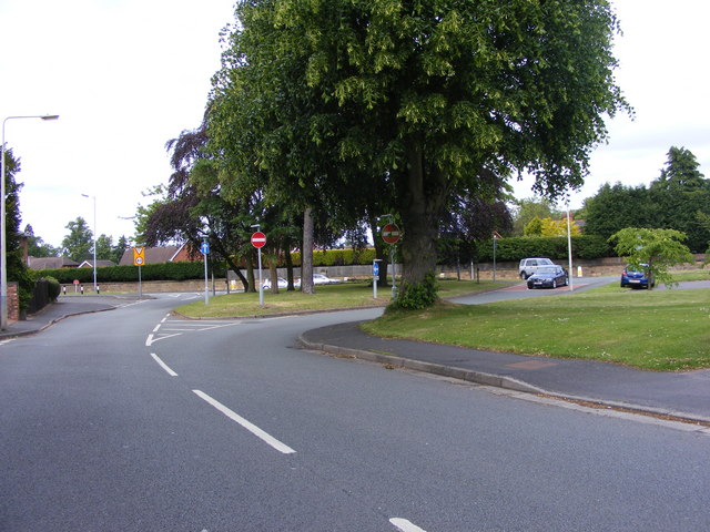
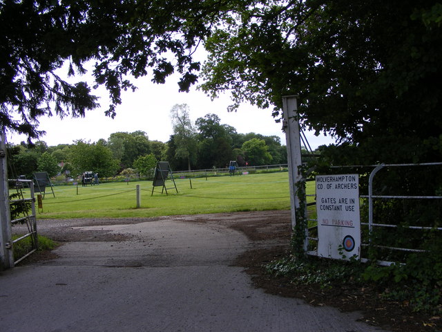
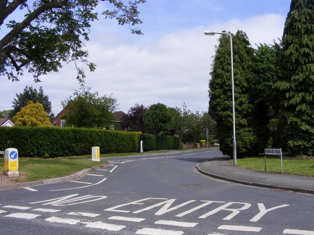
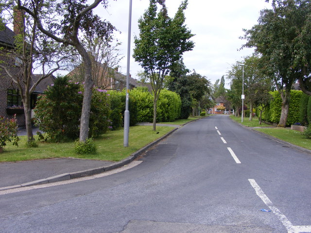
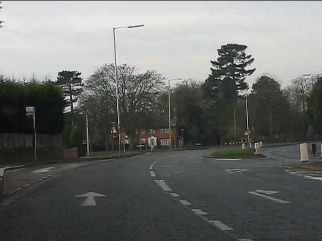
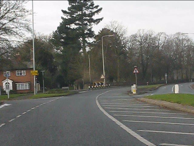
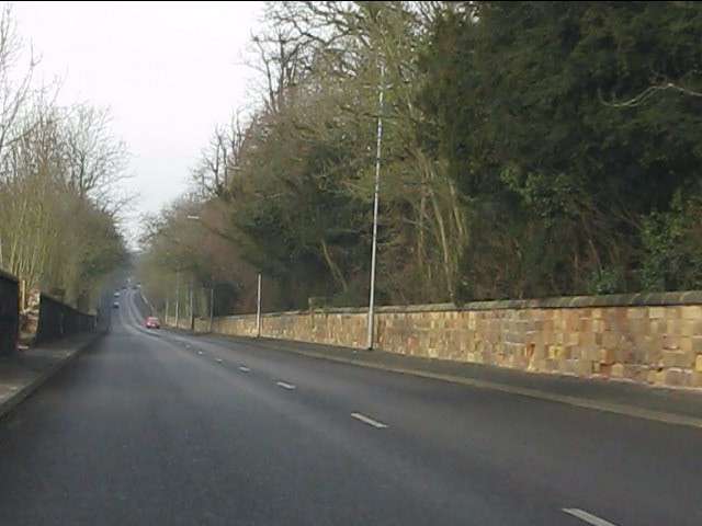
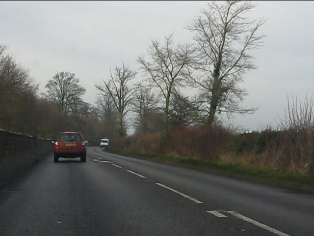
Bedford Spinney Images

Images are sourced within 2km of 52.61536/-2.188888 or Grid Reference SJ8701. Thanks to Geograph Open Source API. All images are credited.

Wergs Junction Yew Tree Lane joins the A41 Holyhead road at the Wergs, Wolverhampton.
Wergs Junction
Yew Tree Lane joins the A41 Holyhead road at the Wergs, Wolverhampton.
Company of Archers The view of the Wolverhampton Company ground off the Wergs Hall Road, Tettenhall.
Company of Archers
The view of the Wolverhampton Company ground off the Wergs Hall Road, Tettenhall.
Redhouse Road The view from Woodthorne Road South, Wolverhampton.
Redhouse Road
The view from Woodthorne Road South, Wolverhampton.
Wrekin Drive The view from Wrekin Lane, Wolverhampton.
Wrekin Drive
The view from Wrekin Lane, Wolverhampton.
Yew Tree Lane View The view from Wrekin Lane, Wolverhampton.
Yew Tree Lane View
The view from Wrekin Lane, Wolverhampton.
Tettenhall, golf club South Staffs Golf Club, looking from tee no.1, with the shop to right. <span class="nowrap"><a title="http://www.southstaffordshiregolfclub.co.uk/" rel="nofollow ugc noopener" href="http://www.southstaffordshiregolfclub.co.uk/">Link</a><img style="margin-left:2px;" alt="External link" title="External link - shift click to open in new window" src="https://s1.geograph.org.uk/img/external.png" width="10" height="10"/></span>
Tettenhall, golf club
South Staffs Golf Club, looking from tee no.1, with the shop to right. LinkExternal link
Tettenhall, golf clubhouse At South Staffs Golf Club: <span class="nowrap"><a title="http://www.southstaffordshiregolfclub.co.uk/The_Clubhouse" rel="nofollow ugc noopener" href="http://www.southstaffordshiregolfclub.co.uk/The_Clubhouse">Link</a><img style="margin-left:2px;" alt="External link" title="External link - shift click to open in new window" src="https://s1.geograph.org.uk/img/external.png" width="10" height="10"/></span>
Tettenhall, golf clubhouse
At South Staffs Golf Club: LinkExternal link
Tents for Sale The view in Codsall and Wergs Garden Centre.
Tents for Sale
The view in Codsall and Wergs Garden Centre.
Codsall and Wergs Garden Centre.
Garden Figures The view in Codsall and Wergs Garden Centre.
Garden Figures
The view in Codsall and Wergs Garden Centre.
Rainy Wergs Hall Lane The view down the Codsall to Wergs Lane.
Rainy Wergs Hall Lane
The view down the Codsall to Wergs Lane.
Wergs Road (A41) at Danescourt Road
Wergs Road (A41) nearing Popes Lane
Dual carriageway on Wergs Road
Wergs Road (A41) at Yew Tree Lane
A41 running straight in Staffordshire The old London-Birkenhead road has just passed from West Midlands county into Staffordshire.
A41 running straight in Staffordshire
The old London-Birkenhead road has just passed from West Midlands county into Staffordshire.
A41 - Wrottesley Park traffic lights
On the Holyhead Road The A41 out in open country, having left the West Midlands conurbation behind at Wergs.
On the Holyhead Road
The A41 out in open country, having left the West Midlands conurbation behind at Wergs.
Show me another place!

Bedford Spinney is located at Grid Ref: SJ8701 (Lat: 52.61536, Lng: -2.188888)

Administrative County: Staffordshire

District: South Staffordshire

Police Authority: Staffordshire

What 3 Words

///grace.signal.engage. Near Codsall, Staffordshire

Related Wikis

Birches Bridge

Birches Bridge is an area of Codsall, Staffordshire. It is situated to the northwest of Wolverhampton between Bilbrook and Codsall. == Name and origins... ==

Bilbrook railway station

Bilbrook railway station is a railway station which serves the village of Bilbrook in Staffordshire, England. It was known as Birches and Bilbrook Halt...

South Staffordshire

South Staffordshire is a local government district in Staffordshire, England. Its council is based in Codsall. Other notable settlements include Great...

Codsall

Codsall is a large village in the South Staffordshire district of Staffordshire, England. It is situated 5 miles northwest of Wolverhampton and 13 miles...

Nearby Amenities

Located within 500m of 52.61536,-2.188888
The data included in this document is from www.openstreetmap.org. The data is made available under ODbL.

Have you been to Bedford Spinney?

Leave your review of Bedford Spinney below (or comments, questions and feedback).