Brotherod Wood

Wood, Forest in Lancashire

England

Brotherod Wood

Former Rochdale to Bacup Railway Trackbed at Shawclough Start of trail on trackbed with Dell Road retaining wall to the left
Former Rochdale to Bacup Railway Trackbed at Shawclough Credit: Kevin Waterhouse

Brotherod Wood, also known as Wood or Forest, is a small village located in the county of Lancashire, England. Situated amidst the picturesque countryside, this charming settlement offers a tranquil and idyllic atmosphere away from the hustle and bustle of city life.

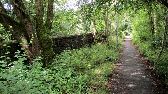
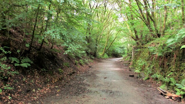
This quaint village is renowned for its dense woodland, which covers a significant portion of its landscape. The forest area is rich in biodiversity, with a variety of trees, plants, and wildlife species thriving within its boundaries. It serves as a popular destination for nature enthusiasts and hikers, who can explore the numerous walking trails and enjoy the serenity of the surroundings.

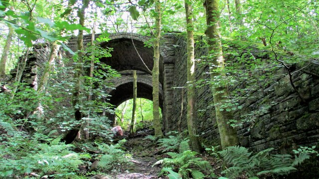
In addition to its natural beauty, Brotherod Wood boasts a close-knit community that takes pride in preserving the village's heritage. The village center features a few historic buildings, including a charming church that dates back to the 12th century. The local residents organize regular events and festivals, celebrating the village's cultural and historical significance.

Despite its rural setting, Brotherod Wood is conveniently located near several amenities and services. The nearest town is just a short drive away, offering a range of shops, restaurants, and leisure facilities. The village is well-connected by road, making it easily accessible to residents and visitors alike.

Overall, Brotherod Wood presents a perfect retreat for those seeking a peaceful and scenic environment. Whether it's enjoying a leisurely walk in the woods or immersing oneself in the rich history of the village, this hidden gem in Lancashire offers a delightful experience for all who visit.

If you have any feedback on the listing, please let us know in the comments section below.

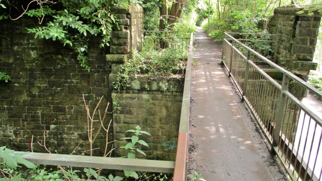
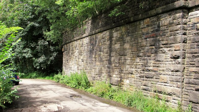
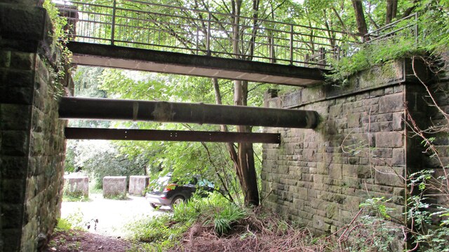
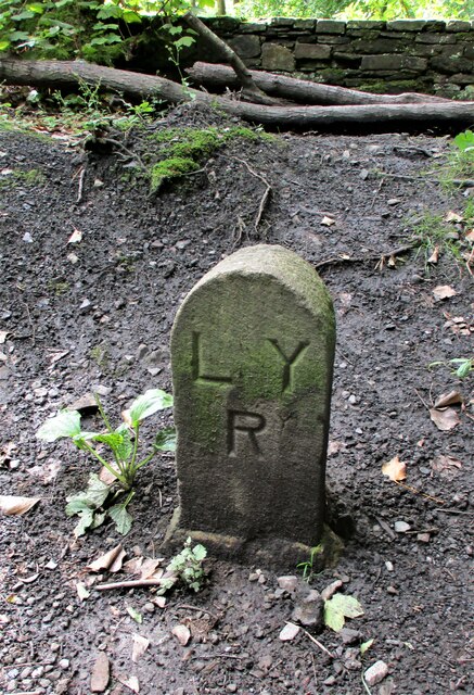
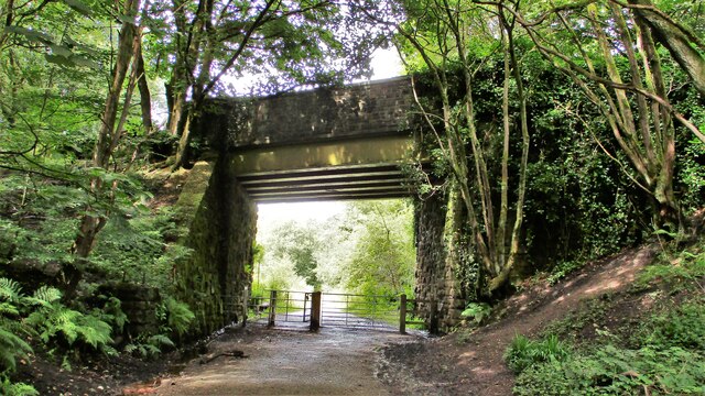
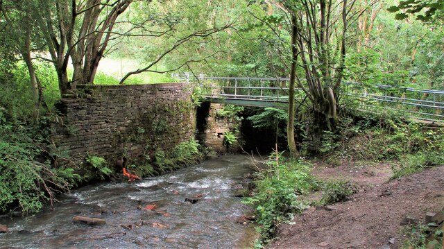
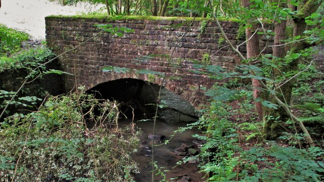
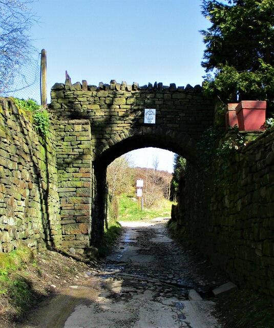
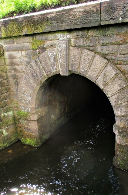
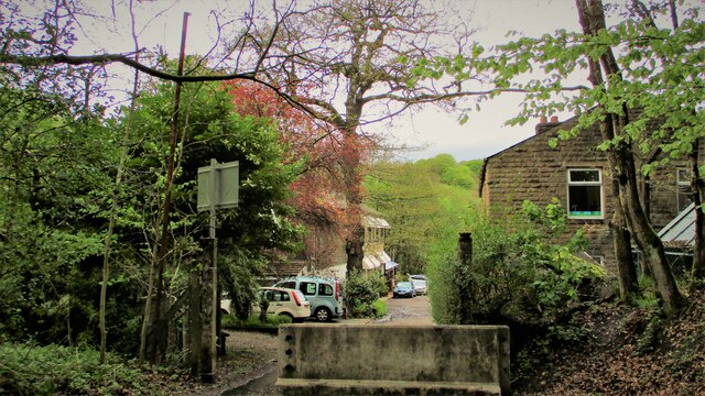
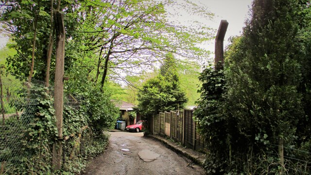
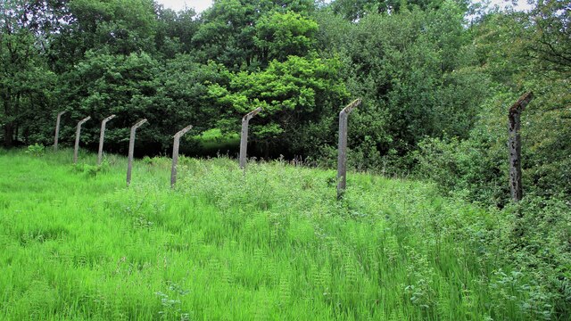
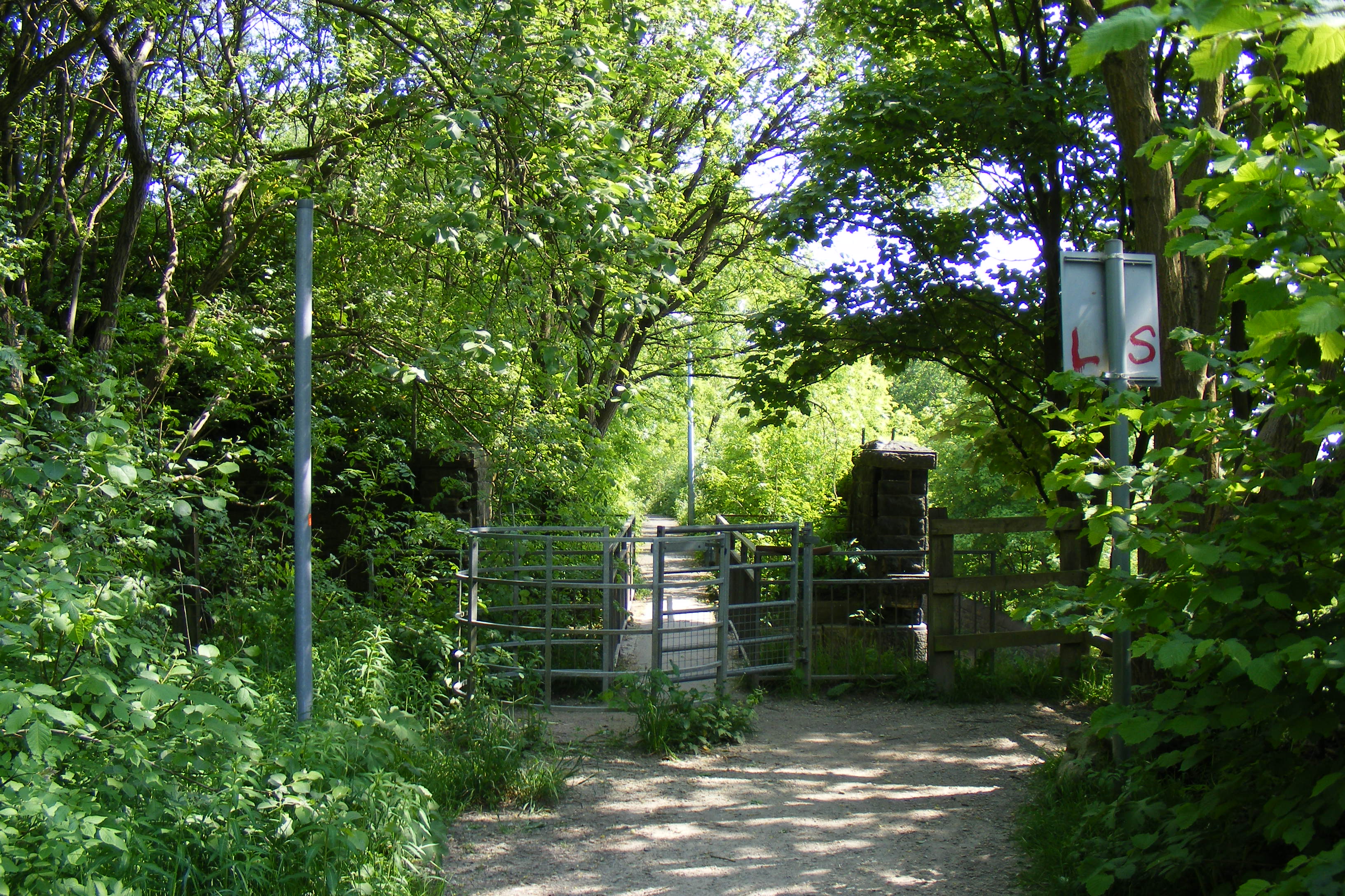
Brotherod Wood Images

Images are sourced within 2km of 53.633291/-2.1836866 or Grid Reference SD8715. Thanks to Geograph Open Source API. All images are credited.

Former Rochdale to Bacup Railway Trackbed at Shawclough Start of trail on trackbed with Dell Road retaining wall to the left
Former Rochdale to Bacup Railway Trackbed at Shawclough
Start of trail on trackbed with Dell Road retaining wall to the left
Footbridge replacement for Railway Bridge at Shawclough View towards Rochdale over former Shawclough Station access road
Footbridge replacement for Railway Bridge at Shawclough
View towards Rochdale over former Shawclough Station access road
Retaining Wall for Railway on Dell Road Shawclough Retaining Wall for Rochdale to Bacup Railway, view North
Retaining Wall for Railway on Dell Road Shawclough
Retaining Wall for Rochdale to Bacup Railway, view North
Railway Bridge Abutments at Shawclough Station Access Road Footbridge has replaced original Railway Bridge. Concrete Block barriers stop vehicle entry to Woodland Road from Dell Road
Railway Bridge Abutments at Shawclough Station Access Road
Footbridge has replaced original Railway Bridge. Concrete Block barriers stop vehicle entry to Woodland Road from Dell Road
Former Rochdale to Bacup Railway Trackbed after Shawclough Adverse Gradient after heading North from the former Shawclough Station at Dell Road bridge
Former Rochdale to Bacup Railway Trackbed after Shawclough
Adverse Gradient after heading North from the former Shawclough Station at Dell Road bridge
Siamese Railway Bridges at Healey The original bridge was found to be slipping down the hillside so another was built for the Rochdale to Bacup Railway.
Siamese Railway Bridges at Healey
The original bridge was found to be slipping down the hillside so another was built for the Rochdale to Bacup Railway.
Typical Rochdale/Whitworth Boundary Stone On the former Rochdale to Bacup Railway on the Boundary. The Boundary Stones in this area of Healey Corner had metal plates on the stones all now mainly removed.
This stone is typical but it may not be what it seems.
Typical Rochdale/Whitworth Boundary Stone
On the former Rochdale to Bacup Railway on the Boundary. The Boundary Stones in this area of Healey Corner had metal plates on the stones all now mainly removed. This stone is typical but it may not be what it seems.
Milestone 14 on Rochdale to Bacup Railway Close to Rochdale/Whitworth Boundary on former Railway Trackbed
Milestone 14 on Rochdale to Bacup Railway
Close to Rochdale/Whitworth Boundary on former Railway Trackbed
LYR Boundary Stone This stone is close to the former railway trackbed so may be re-positioned. South of Dell Road access to Healey Dell Viaduct.
LYR Boundary Stone
This stone is close to the former railway trackbed so may be re-positioned. South of Dell Road access to Healey Dell Viaduct.
Station Road Railway Bridge Broadley The Bridge from the South on the former trackbed. On the North side is the site of Broadley Station
Station Road Railway Bridge Broadley
The Bridge from the South on the former trackbed. On the North side is the site of Broadley Station
Footbridge over River Spodden Metal Footbridge for numerous routes around Spodden Valley North of Healey Dell
Footbridge over River Spodden
Metal Footbridge for numerous routes around Spodden Valley North of Healey Dell
Bridge over River Spodden near Former Station Yard Substantial Bridge now footpath but gave alternative access perhaps to the Station Yard at Broadley. It is also the site of Broadley Mill.
Bridge over River Spodden near Former Station Yard
Substantial Bridge now footpath but gave alternative access perhaps to the Station Yard at Broadley. It is also the site of Broadley Mill.
Private Footbridge over Ending Rake Footbridge for Mount Ending residence where Ending Rake goes on to the moorland.
Private Footbridge over Ending Rake
Footbridge for Mount Ending residence where Ending Rake goes on to the moorland.
Culvert Portal under Prickshaw Lane Prickshaw Brook emerges
Culvert Portal under Prickshaw Lane
Prickshaw Brook emerges
Stone Rubbing Mill Remains The Southern Pit used in connection with grinding and finishing quarried stone.
The mill at Broadley Sidings was connected with Bagden Quarry by a railway.
Stone Rubbing Mill Remains
The Southern Pit used in connection with grinding and finishing quarried stone. The mill at Broadley Sidings was connected with Bagden Quarry by a railway.
Modern & WWII Pole Barriers Modern concrete block across Dell Road and WWII pole barrier still surviving from when the mill beyond was a munitions filling factory.
Modern & WWII Pole Barriers
Modern concrete block across Dell Road and WWII pole barrier still surviving from when the mill beyond was a munitions filling factory.
Dell Road North entrance to former WWII ROF Site MoD fencing poles mark entrance to former WWII munitions filling factory site in Healey Hall Mill
Dell Road North entrance to former WWII ROF Site
MoD fencing poles mark entrance to former WWII munitions filling factory site in Healey Hall Mill
Former WWII Fencing at ROF Healey Hall Mill WWII fencing remains on boundary of former munitions filling factory on West bank of River Spodden.
Former WWII Fencing at ROF Healey Hall Mill
WWII fencing remains on boundary of former munitions filling factory on West bank of River Spodden.
Show me another place!

Brotherod Wood is located at Grid Ref: SD8715 (Lat: 53.633291, Lng: -2.1836866)

Unitary Authority: Rochdale

Police Authority: Greater Manchester

What 3 Words

///clocks.warm.fault. Near Whitworth, Lancashire

Related Wikis

Shawclough and Healey railway station

Shawclough & Healey railway station served the townships of Shawclough and Healey in Rochdale, in the Metropolitan Borough of Rochdale in Greater Manchester...
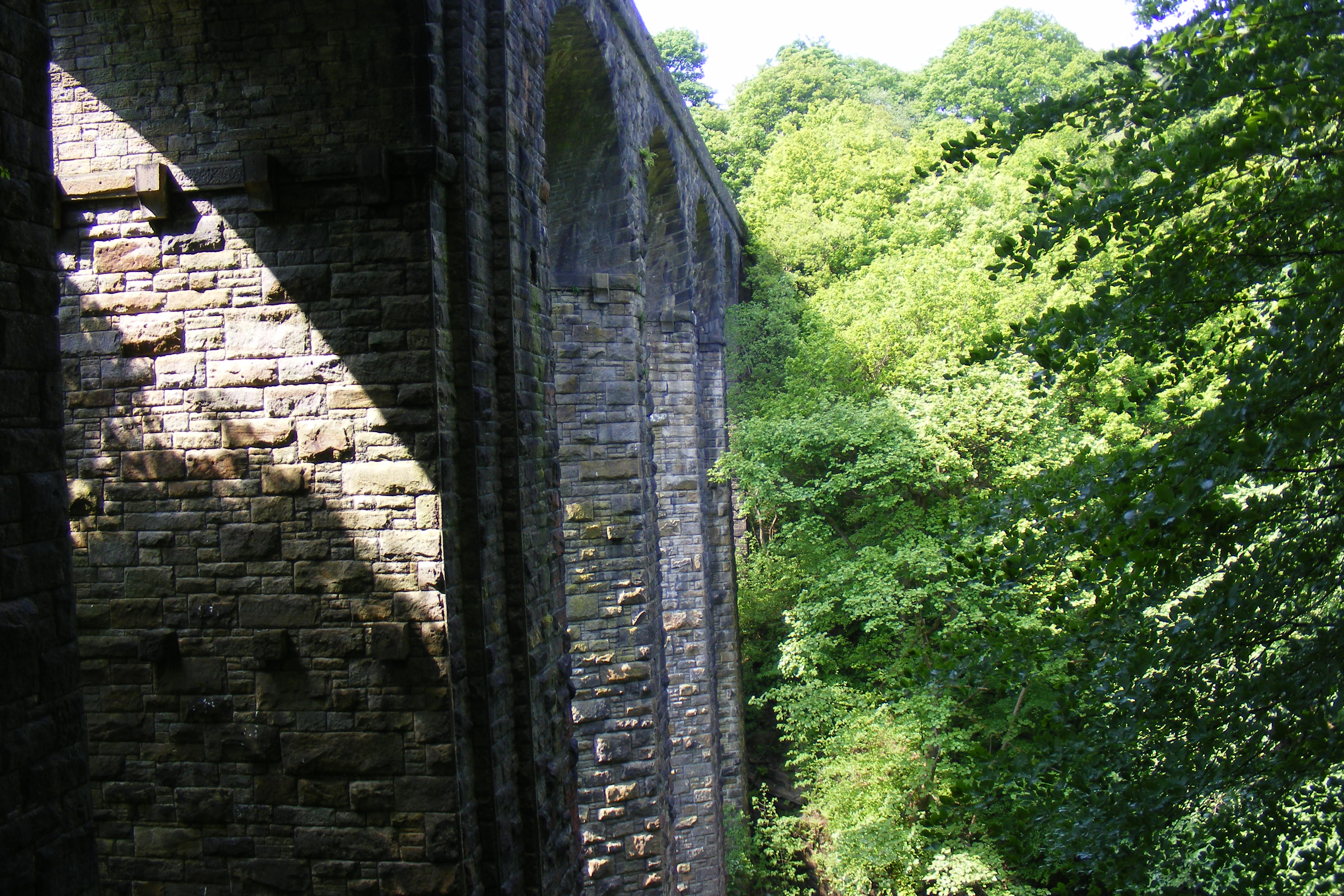
Healey Dell Viaduct

Healey Dell Viaduct is a viaduct situated in Healey Dell Nature Reserve in the Spodden Valley, on the outskirts of Rochdale in Greater Manchester, England...

Shawclough

Shawclough is a mainly residential area north of Rochdale, Greater Manchester, England. Its boundaries are roughly Whitworth Road, Shawclough Road, and...

Healey, Greater Manchester

Healey is part of the Metropolitan Borough of Rochdale, Greater Manchester, England. Historically part of Lancashire, it includes Shawclough, Syke and...

Nearby Amenities

Located within 500m of 53.633291,-2.1836866
Bus Stop
Shawclough Road/Judith Street
Bus: yes
Naptan AtcoCode: 1800NE16231
Naptan Bearing: S
Naptan CommonName: Shawclough Road/Judith Street
Naptan Indicator: Opp House 405
Naptan Landmark: HOUSE 394
Naptan NaptanCode: mandwtdt
Naptan PlusbusZoneRef: MNCRPIC
Naptan ShortCommonName: Judith Street
Naptan Street: SHAWCLOUGH ROAD
Naptan Verified: no
Network: TfGM
Public Transport: platform
Source: naptan_import
Lat/Long: 53.6353814/-2.179368
Bus Stop
Shawclough Road/Judith Street
Bus: yes
Naptan AtcoCode: 1800NE16241
Naptan Bearing: N
Naptan CommonName: Shawclough Road/Judith Street
Naptan Indicator: O/s House 403
Naptan Landmark: HOUSE 403
Naptan NaptanCode: mandwtdw
Naptan PlusbusZoneRef: MNCRPIC
Naptan ShortCommonName: Judith Street
Naptan Street: SHAWCLOUGH ROAD
Naptan Verified: no
Network: TfGM
Public Transport: platform
Source: naptan_import
Lat/Long: 53.6353273/-2.1795038
Bus Stop
Shawclough Road/Shawclough Way
Bus: yes
Naptan AtcoCode: 1800NE16251
Naptan Bearing: SE
Naptan CommonName: Shawclough Road/Shawclough Way
Naptan Indicator: Opp House 331
Naptan Landmark: DUFFINS COTTAGE
Naptan NaptanCode: mandwtga
Naptan PlusbusZoneRef: MNCRPIC
Naptan ShortCommonName: Shawclough Way
Naptan Street: SHAWCLOUGH ROAD
Naptan Verified: no
Network: TfGM
Public Transport: platform
Source: naptan_import
Lat/Long: 53.6326978/-2.1767252
Bus Stop
Shawclough Road/Shawclough Way
Bus: yes
Naptan AtcoCode: 1800NE17481
Naptan Bearing: N
Naptan CommonName: Shawclough Road/Shawclough Way
Naptan Indicator: O/s House 335
Naptan Landmark: HOUSE 335
Naptan NaptanCode: mangadjw
Naptan PlusbusZoneRef: MNCRPIC
Naptan ShortCommonName: Shawclough Way
Naptan Street: SHAWCLOUGH ROAD
Naptan Verified: no
Network: TfGM
Public Transport: platform
Source: naptan_import
Lat/Long: 53.6331101/-2.1775284
Bus Stop
Ings Lane/Wycherley Road
Bus: yes
Naptan AtcoCode: 1800NE48881
Naptan Bearing: SE
Naptan CommonName: Ings Lane/Wycherley Road
Naptan Indicator: O/s House 192
Naptan Landmark: HOUSE 192
Naptan NaptanCode: mangdwjm
Naptan PlusbusZoneRef: MNCRPIC
Naptan ShortCommonName: Wycherley Road
Naptan Street: INGS LANE
Naptan Verified: no
Network: TfGM
Public Transport: platform
Source: naptan_import
Lat/Long: 53.629784/-2.1837295
Bus Stop
Ings Lane/Wycherley Road
Bus: yes
Naptan AtcoCode: 1800NE48891
Naptan Bearing: NW
Naptan CommonName: Ings Lane/Wycherley Road
Naptan Indicator: O/s House 197
Naptan Landmark: HOUSE 197
Naptan NaptanCode: mangdwjp
Naptan PlusbusZoneRef: MNCRPIC
Naptan ShortCommonName: Wycherley Road
Naptan Street: INGS LANE
Naptan Verified: no
Network: TfGM
Public Transport: platform
Source: naptan_import
Lat/Long: 53.6301965/-2.1843362
Bus Stop
Ings Lane/Daniel Fold
Bus: yes
Naptan AtcoCode: 1800NE48901
Naptan Bearing: SE
Naptan CommonName: Ings Lane/Daniel Fold
Naptan Indicator: O/s House 240
Naptan Landmark: HOUSE 240
Naptan NaptanCode: mangdwjt
Naptan PlusbusZoneRef: MNCRPIC
Naptan ShortCommonName: Daniel Fold
Naptan Street: INGS LANE
Naptan Verified: no
Network: TfGM
Public Transport: platform
Source: naptan_import
Lat/Long: 53.631084/-2.1858523
Bus Stop
Ings Lane/Daniel Fold
Bus: yes
Naptan AtcoCode: 1800NE48911
Naptan Bearing: NW
Naptan CommonName: Ings Lane/Daniel Fold
Naptan Indicator: The Black Dog
Naptan Landmark: THE BLACK DOG
Naptan NaptanCode: mangdwjw
Naptan PlusbusZoneRef: MNCRPIC
Naptan ShortCommonName: Daniel Fold
Naptan Street: INGS LANE
Naptan Verified: no
Network: TfGM
Public Transport: platform
Source: naptan_import
Lat/Long: 53.6311821/-2.1863971
Bus Stop
Rooley Moor Road/Elm Park Way
Bus: yes
Naptan AtcoCode: 1800NE48921
Naptan Bearing: SE
Naptan CommonName: Rooley Moor Road/Elm Park Way
Naptan Indicator: O/s House 576
Naptan Landmark: House 576
Naptan NaptanCode: mangdwma
Naptan PlusbusZoneRef: MNCRPIC
Naptan ShortCommonName: Elm Park Way
Naptan Street: Rooley Moor Road
Naptan Verified: no
Network: TfGM
Public Transport: platform
Source: naptan_import
Lat/Long: 53.6329228/-2.1883103
Bus Stop
Rooley Moor Road/Elm Park Way
Bus: yes
Naptan AtcoCode: 1800NE48931
Naptan Bearing: NW
Naptan CommonName: Rooley Moor Road/Elm Park Way
Naptan Indicator: O/s House 589
Naptan Landmark: HOUSE 589
Naptan NaptanCode: mangdwmd
Naptan PlusbusZoneRef: MNCRPIC
Naptan ShortCommonName: Elm Park Way
Naptan Street: Rooley Moor Road
Naptan Verified: no
Network: TfGM
Public Transport: platform
Source: naptan_import
Lat/Long: 53.6336764/-2.1892664
Bus Stop
Rooley Moor Road/Elm Park Way
Bus: yes
Naptan AtcoCode: 1800NE48941
Naptan Bearing: SE
Naptan CommonName: Rooley Moor Road/Elm Park Way
Naptan Indicator: O/s House 602
Naptan Landmark: HOUSE 602
Naptan NaptanCode: mangdwmg
Naptan PlusbusZoneRef: MNCRPIC
Naptan ShortCommonName: Elm Park Way
Naptan Street: Rooley Moor Road
Naptan Verified: no
Network: TfGM
Public Transport: platform
Source: naptan_import
Lat/Long: 53.6340446/-2.1894647
Traffic Calming: bump
Lat/Long: 53.6313447/-2.1847634
Traffic Calming: bump
Lat/Long: 53.6306302/-2.1838952
Barrier: block
Bicycle: yes
Foot: yes
Lat/Long: 53.632597/-2.1805806
Generator Method: photovoltaic
Generator Output Electricity: yes
Generator Source: solar
Generator Type: solar_photovoltaic_panel
Location: roof
Power: generator
Lat/Long: 53.6308335/-2.1888639
Generator Method: photovoltaic
Generator Output Electricity: yes
Generator Source: solar
Generator Type: solar_photovoltaic_panel
Location: roof
Power: generator
Lat/Long: 53.6308701/-2.1886842
Generator Method: photovoltaic
Generator Output Electricity: yes
Generator Source: solar
Generator Type: solar_photovoltaic_panel
Location: roof
Power: generator
Lat/Long: 53.6308463/-2.188369
Generator Method: photovoltaic
Generator Output Electricity: yes
Generator Source: solar
Generator Type: solar_photovoltaic_panel
Location: roof
Power: generator
Lat/Long: 53.6313322/-2.1855138
Generator Method: photovoltaic
Generator Output Electricity: yes
Generator Source: solar
Generator Type: solar_photovoltaic_panel
Location: roof
Power: generator
Lat/Long: 53.6321795/-2.1873498
Generator Method: photovoltaic
Generator Output Electricity: yes
Generator Source: solar
Generator Type: solar_photovoltaic_panel
Location: roof
Power: generator
Lat/Long: 53.6329286/-2.1856037
Generator Method: photovoltaic
Generator Output Electricity: yes
Generator Source: solar
Generator Type: solar_photovoltaic_panel
Location: roof
Power: generator
Lat/Long: 53.6339767/-2.189863
Generator Method: photovoltaic
Generator Output Electricity: yes
Generator Source: solar
Generator Type: solar_photovoltaic_panel
Location: roof
Power: generator
Lat/Long: 53.6340753/-2.1899596
Generator Method: photovoltaic
Generator Output Electricity: yes
Generator Source: solar
Generator Type: solar_photovoltaic_panel
Location: roof
Power: generator
Lat/Long: 53.6341691/-2.1900454
Generator Method: photovoltaic
Generator Output Electricity: yes
Generator Source: solar
Generator Type: solar_photovoltaic_panel
Location: roof
Power: generator
Lat/Long: 53.633888/-2.1885823
Generator Method: photovoltaic
Generator Output Electricity: yes
Generator Source: solar
Generator Type: solar_photovoltaic_panel
Location: roof
Power: generator
Lat/Long: 53.6319481/-2.1855916
Generator Method: photovoltaic
Generator Output Electricity: yes
Generator Source: solar
Generator Type: solar_photovoltaic_panel
Location: roof
Power: generator
Lat/Long: 53.6322495/-2.178072
Generator Method: photovoltaic
Generator Output Electricity: yes
Generator Source: solar
Generator Type: solar_photovoltaic_panel
Location: roof
Power: generator
Lat/Long: 53.6362429/-2.1785495
Generator Method: photovoltaic
Generator Output Electricity: yes
Generator Source: solar
Generator Type: solar_photovoltaic_panel
Location: roof
Power: generator
Lat/Long: 53.6363606/-2.1782088
Generator Method: photovoltaic
Generator Output Electricity: yes
Generator Source: solar
Generator Type: solar_photovoltaic_panel
Location: roof
Power: generator
Lat/Long: 53.6366866/-2.1792924
Addr Housenumber: 331
Addr Street: Shawclough Road
Lat/Long: 53.6324696/-2.1770343
Generator Method: photovoltaic
Generator Output Electricity: yes
Generator Source: solar
Generator Type: solar_photovoltaic_panel
Location: roof
Power: generator
Lat/Long: 53.6342045/-2.1906045
Generator Method: photovoltaic
Generator Output Electricity: yes
Generator Source: solar
Generator Type: solar_photovoltaic_panel
Location: roof
Power: generator
Lat/Long: 53.6347764/-2.1765487
Barrier: bollard
Bicycle: yes
Foot: yes
Horse: yes
Motor Vehicle: no
Lat/Long: 53.6312301/-2.1774123
Barrier: bollard
Bicycle: yes
Foot: yes
Horse: yes
Motor Vehicle: no
Lat/Long: 53.6310085/-2.1774269
Traffic Calming: bump
Lat/Long: 53.6309327/-2.1838937
Traffic Calming: bump
Lat/Long: 53.6315007/-2.1854914
Cafe
Healey Dell Heritage Centre & Tea Rooms
Lat/Long: 53.6354544/-2.1839011
Barrier: kissing_gate
Bicycle: yes
Foot: yes
Motor Vehicle: no
Wheelchair: limited
Lat/Long: 53.6327021/-2.1806078
The data included in this document is from www.openstreetmap.org. The data is made available under ODbL.

Have you been to Brotherod Wood?

Leave your review of Brotherod Wood below (or comments, questions and feedback).