Stone Hill Wood

Wood, Forest in Lancashire

England

Stone Hill Wood

Former Rochdale to Bacup Railway Trackbed at Shawclough Start of trail on trackbed with Dell Road retaining wall to the left
Former Rochdale to Bacup Railway Trackbed at Shawclough Credit: Kevin Waterhouse

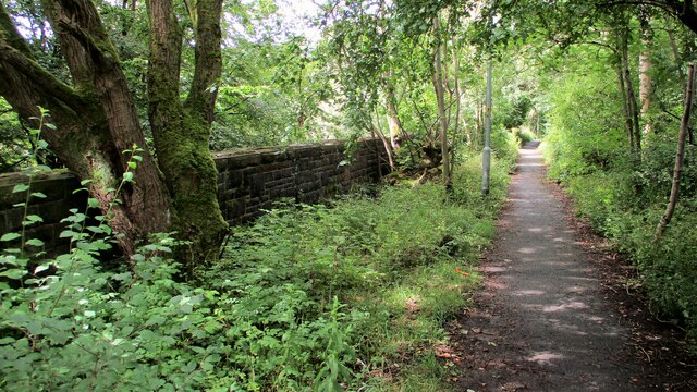
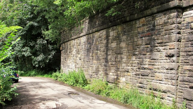
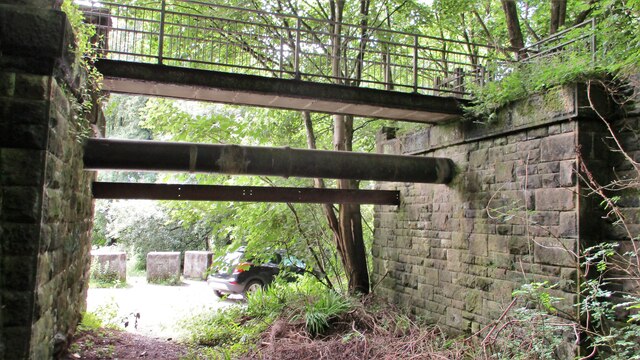
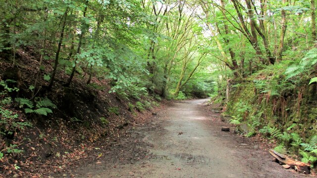
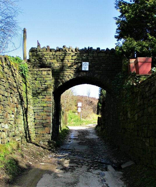
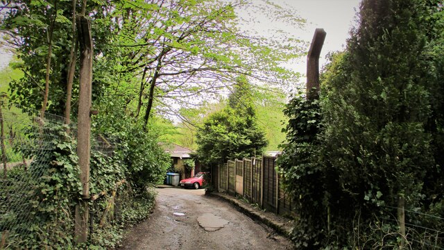
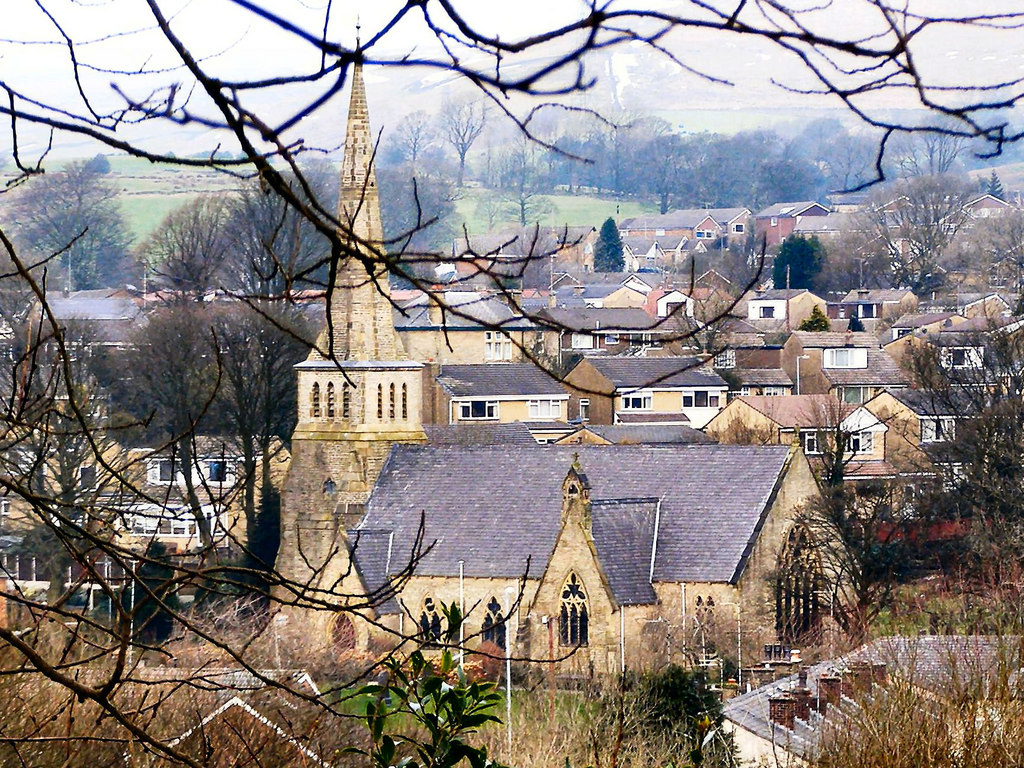
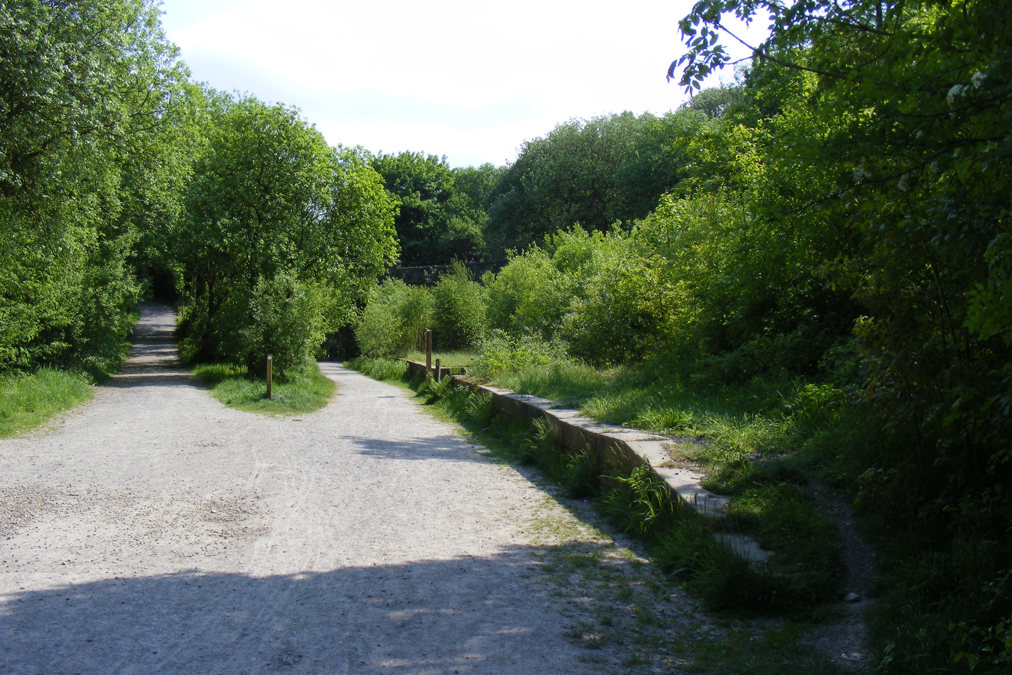
Stone Hill Wood is a picturesque forest located in Lancashire, England. This enchanting woodland covers an area of approximately 50 acres and is nestled within the rolling countryside, offering visitors a serene and tranquil atmosphere. The wood is easily accessible, with a well-maintained path leading through the heart of the forest.

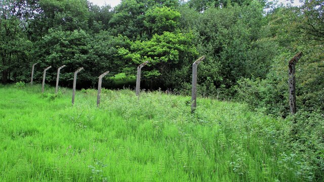
The wood is predominantly comprised of a variety of native tree species, including oak, beech, and birch. These majestic trees provide a dense canopy, creating a cool and shaded environment. The forest floor is carpeted with a lush undergrowth of ferns, wildflowers, and mosses, adding to the wood's natural beauty.

Stone Hill Wood is home to an abundance of wildlife, making it a popular destination for nature enthusiasts and birdwatchers. Visitors may catch a glimpse of various bird species, such as woodpeckers, owls, and finches. Squirrels scurry through the treetops, while rabbits and deer can occasionally be spotted grazing in the clearings.

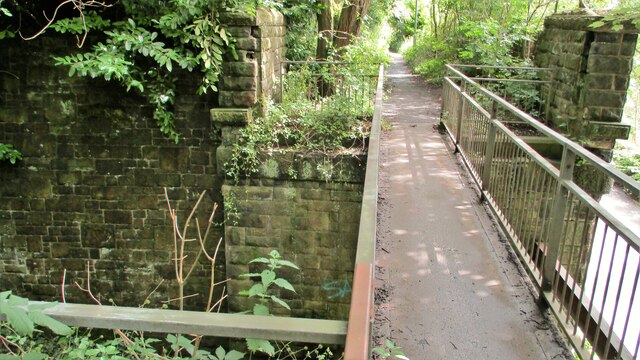
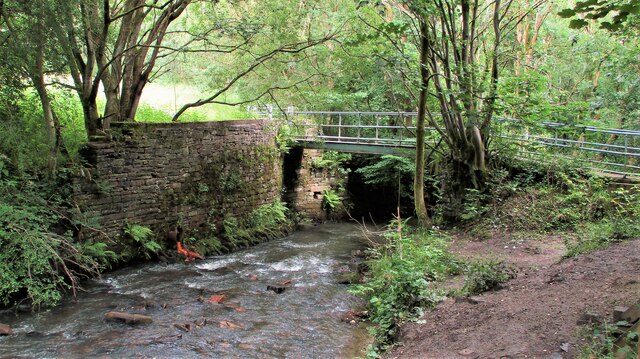
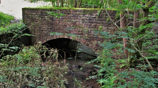
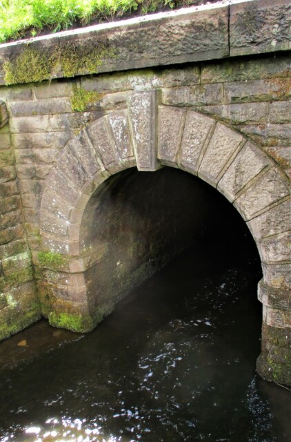
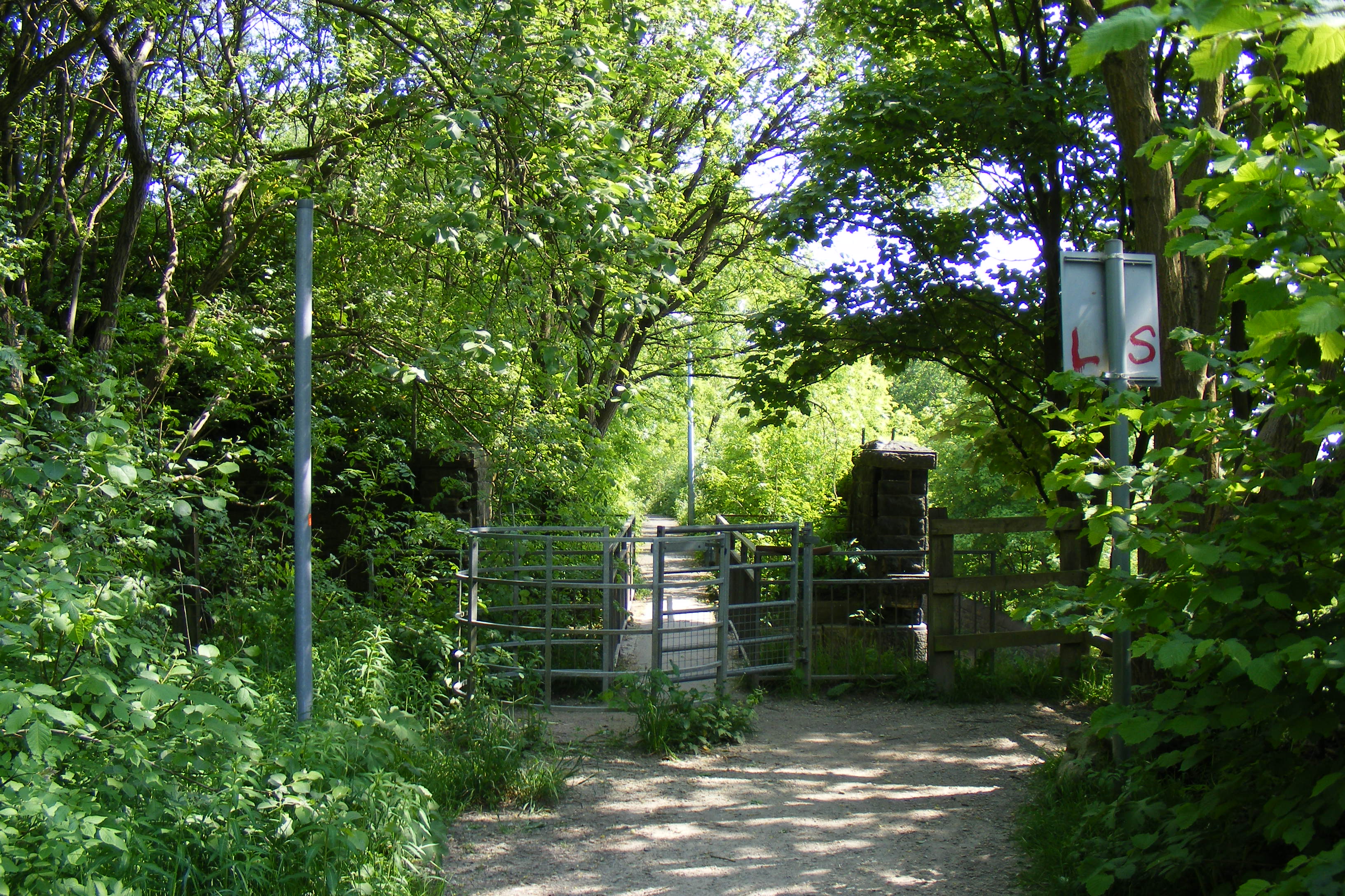
The wood offers numerous walking trails, allowing visitors to explore its magnificent scenery at their own pace. These paths wind through the forest, leading to hidden glades and peaceful meadows. The wood is also intersected by a small stream, adding to its charm and providing a serene soundtrack of running water.

Stone Hill Wood is a cherished natural gem in Lancashire, offering visitors a chance to immerse themselves in the beauty of nature. Whether it's a leisurely stroll, a birdwatching expedition, or simply a peaceful escape from the hustle and bustle of everyday life, this woodland sanctuary is a must-visit destination for anyone seeking solace in nature's embrace.

If you have any feedback on the listing, please let us know in the comments section below.

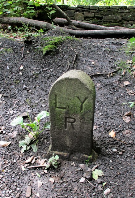
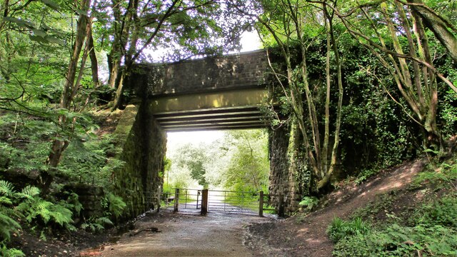
Stone Hill Wood Images

Images are sourced within 2km of 53.631467/-2.1943548 or Grid Reference SD8715. Thanks to Geograph Open Source API. All images are credited.

Former Rochdale to Bacup Railway Trackbed at Shawclough Start of trail on trackbed with Dell Road retaining wall to the left
Former Rochdale to Bacup Railway Trackbed at Shawclough
Start of trail on trackbed with Dell Road retaining wall to the left
Footbridge replacement for Railway Bridge at Shawclough View towards Rochdale over former Shawclough Station access road
Footbridge replacement for Railway Bridge at Shawclough
View towards Rochdale over former Shawclough Station access road
Retaining Wall for Railway on Dell Road Shawclough Retaining Wall for Rochdale to Bacup Railway, view North
Retaining Wall for Railway on Dell Road Shawclough
Retaining Wall for Rochdale to Bacup Railway, view North
Railway Bridge Abutments at Shawclough Station Access Road Footbridge has replaced original Railway Bridge. Concrete Block barriers stop vehicle entry to Woodland Road from Dell Road
Railway Bridge Abutments at Shawclough Station Access Road
Footbridge has replaced original Railway Bridge. Concrete Block barriers stop vehicle entry to Woodland Road from Dell Road
Former Rochdale to Bacup Railway Trackbed after Shawclough Adverse Gradient after heading North from the former Shawclough Station at Dell Road bridge
Former Rochdale to Bacup Railway Trackbed after Shawclough
Adverse Gradient after heading North from the former Shawclough Station at Dell Road bridge
Siamese Railway Bridges at Healey The original bridge was found to be slipping down the hillside so another was built for the Rochdale to Bacup Railway.
Siamese Railway Bridges at Healey
The original bridge was found to be slipping down the hillside so another was built for the Rochdale to Bacup Railway.
Typical Rochdale/Whitworth Boundary Stone On the former Rochdale to Bacup Railway on the Boundary. The Boundary Stones in this area of Healey Corner had metal plates on the stones all now mainly removed.
This stone is typical but it may not be what it seems.
Typical Rochdale/Whitworth Boundary Stone
On the former Rochdale to Bacup Railway on the Boundary. The Boundary Stones in this area of Healey Corner had metal plates on the stones all now mainly removed. This stone is typical but it may not be what it seems.
Milestone 14 on Rochdale to Bacup Railway Close to Rochdale/Whitworth Boundary on former Railway Trackbed
Milestone 14 on Rochdale to Bacup Railway
Close to Rochdale/Whitworth Boundary on former Railway Trackbed
LYR Boundary Stone This stone is close to the former railway trackbed so may be re-positioned. South of Dell Road access to Healey Dell Viaduct.
LYR Boundary Stone
This stone is close to the former railway trackbed so may be re-positioned. South of Dell Road access to Healey Dell Viaduct.
Station Road Railway Bridge Broadley The Bridge from the South on the former trackbed. On the North side is the site of Broadley Station
Station Road Railway Bridge Broadley
The Bridge from the South on the former trackbed. On the North side is the site of Broadley Station
Footbridge over River Spodden Metal Footbridge for numerous routes around Spodden Valley North of Healey Dell
Footbridge over River Spodden
Metal Footbridge for numerous routes around Spodden Valley North of Healey Dell
Bridge over River Spodden near Former Station Yard Substantial Bridge now footpath but gave alternative access perhaps to the Station Yard at Broadley. It is also the site of Broadley Mill.
Bridge over River Spodden near Former Station Yard
Substantial Bridge now footpath but gave alternative access perhaps to the Station Yard at Broadley. It is also the site of Broadley Mill.
Private Footbridge over Ending Rake Footbridge for Mount Ending residence where Ending Rake goes on to the moorland.
Private Footbridge over Ending Rake
Footbridge for Mount Ending residence where Ending Rake goes on to the moorland.
Culvert Portal under Prickshaw Lane Prickshaw Brook emerges
Culvert Portal under Prickshaw Lane
Prickshaw Brook emerges
Stone Rubbing Mill Remains The Southern Pit used in connection with grinding and finishing quarried stone.
The mill at Broadley Sidings was connected with Bagden Quarry by a railway.
Stone Rubbing Mill Remains
The Southern Pit used in connection with grinding and finishing quarried stone. The mill at Broadley Sidings was connected with Bagden Quarry by a railway.
Modern & WWII Pole Barriers Modern concrete block across Dell Road and WWII pole barrier still surviving from when the mill beyond was a munitions filling factory.
Modern & WWII Pole Barriers
Modern concrete block across Dell Road and WWII pole barrier still surviving from when the mill beyond was a munitions filling factory.
Dell Road North entrance to former WWII ROF Site MoD fencing poles mark entrance to former WWII munitions filling factory site in Healey Hall Mill
Dell Road North entrance to former WWII ROF Site
MoD fencing poles mark entrance to former WWII munitions filling factory site in Healey Hall Mill
Former WWII Fencing at ROF Healey Hall Mill WWII fencing remains on boundary of former munitions filling factory on West bank of River Spodden.
Former WWII Fencing at ROF Healey Hall Mill
WWII fencing remains on boundary of former munitions filling factory on West bank of River Spodden.
Show me another place!

Stone Hill Wood is located at Grid Ref: SD8715 (Lat: 53.631467, Lng: -2.1943548)

Unitary Authority: Rochdale

Police Authority: Greater Manchester

What 3 Words

///option.stage.pouch. Near Whitworth, Lancashire

Related Wikis

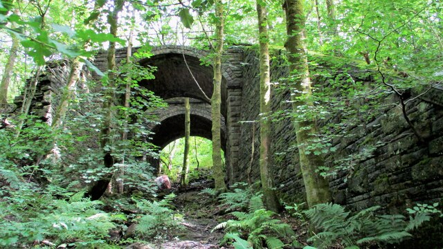
Shawclough and Healey railway station

Shawclough & Healey railway station served the townships of Shawclough and Healey in Rochdale, in the Metropolitan Borough of Rochdale in Greater Manchester...
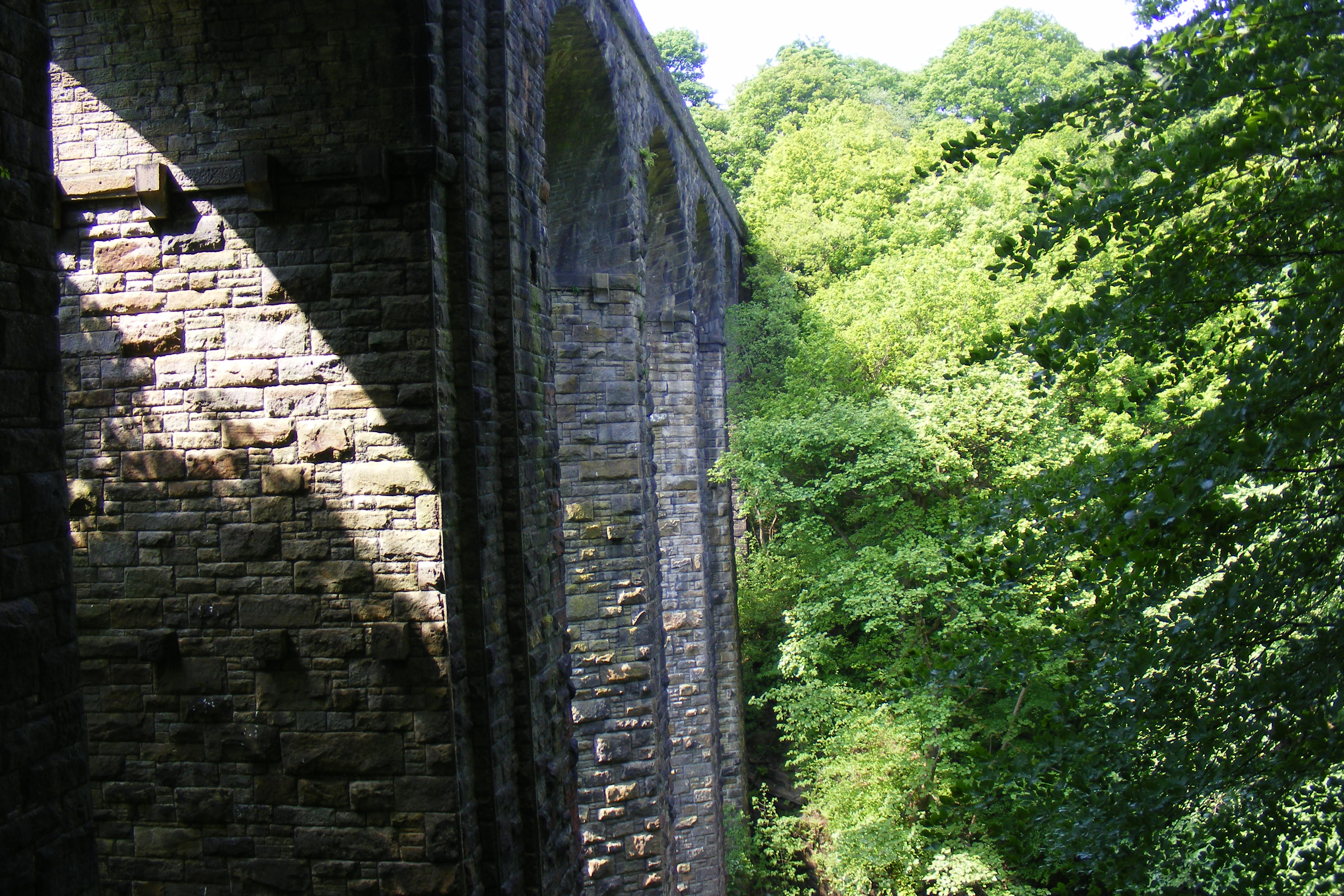
Healey Dell Viaduct

Healey Dell Viaduct is a viaduct situated in Healey Dell Nature Reserve in the Spodden Valley, on the outskirts of Rochdale in Greater Manchester, England...

Norden, Greater Manchester

Norden is a village in the Metropolitan Borough of Rochdale, in Greater Manchester, England. Historically part of Lancashire. The village is situated on...

Bamford, Greater Manchester

Bamford is an affluent suburban area within the Metropolitan Borough of Rochdale, in Greater Manchester, England. Together with neighbouring Birtle, it...

Broadley railway station

Broadley railway station served Broadley in Rochdale, England, from 1870 until closure in 1947. It was situated at Healey Dell. == References == Lost Railways...

Shawclough

Shawclough is a mainly residential area north of Rochdale, Greater Manchester, England. Its boundaries are roughly Whitworth Road, Shawclough Road, and...

Spotland Stadium

Spotland Stadium, known as the Crown Oil Arena for sponsorship reasons, is a multi-purpose sports stadium in the Spotland area of Rochdale, Greater Manchester...

Oulder Hill Leadership Academy

Oulder Hill Leadership Academy (formerly Oulder Hill Community School) is a co-educational secondary school for 11- to 16-year-olds, located in Rochdale...

Nearby Amenities

Located within 500m of 53.631467,-2.1943548
Bus Stop
Rooley Moor Road/Elm Park Way
Bus: yes
Naptan AtcoCode: 1800NE48921
Naptan Bearing: SE
Naptan CommonName: Rooley Moor Road/Elm Park Way
Naptan Indicator: O/s House 576
Naptan Landmark: House 576
Naptan NaptanCode: mangdwma
Naptan PlusbusZoneRef: MNCRPIC
Naptan ShortCommonName: Elm Park Way
Naptan Street: Rooley Moor Road
Naptan Verified: no
Network: TfGM
Public Transport: platform
Source: naptan_import
Lat/Long: 53.6329228/-2.1883103
Bus Stop
Rooley Moor Road/Elm Park Way
Bus: yes
Naptan AtcoCode: 1800NE48931
Naptan Bearing: NW
Naptan CommonName: Rooley Moor Road/Elm Park Way
Naptan Indicator: O/s House 589
Naptan Landmark: HOUSE 589
Naptan NaptanCode: mangdwmd
Naptan PlusbusZoneRef: MNCRPIC
Naptan ShortCommonName: Elm Park Way
Naptan Street: Rooley Moor Road
Naptan Verified: no
Network: TfGM
Public Transport: platform
Source: naptan_import
Lat/Long: 53.6336764/-2.1892664
Bus Stop
Rooley Moor Road/Elm Park Way
Bus: yes
Naptan AtcoCode: 1800NE48941
Naptan Bearing: SE
Naptan CommonName: Rooley Moor Road/Elm Park Way
Naptan Indicator: O/s House 602
Naptan Landmark: HOUSE 602
Naptan NaptanCode: mangdwmg
Naptan PlusbusZoneRef: MNCRPIC
Naptan ShortCommonName: Elm Park Way
Naptan Street: Rooley Moor Road
Naptan Verified: no
Network: TfGM
Public Transport: platform
Source: naptan_import
Lat/Long: 53.6340446/-2.1894647
Generator Method: photovoltaic
Generator Output Electricity: yes
Generator Source: solar
Generator Type: solar_photovoltaic_panel
Location: roof
Power: generator
Lat/Long: 53.6292948/-2.1912137
Generator Method: photovoltaic
Generator Output Electricity: yes
Generator Source: solar
Generator Type: solar_photovoltaic_panel
Location: roof
Power: generator
Lat/Long: 53.6308335/-2.1888639
Generator Method: photovoltaic
Generator Output Electricity: yes
Generator Source: solar
Generator Type: solar_photovoltaic_panel
Location: roof
Power: generator
Lat/Long: 53.6308701/-2.1886842
Generator Method: photovoltaic
Generator Output Electricity: yes
Generator Source: solar
Generator Type: solar_photovoltaic_panel
Location: roof
Power: generator
Lat/Long: 53.6308463/-2.188369
Generator Method: photovoltaic
Generator Output Electricity: yes
Generator Source: solar
Generator Type: solar_photovoltaic_panel
Location: roof
Power: generator
Lat/Long: 53.6302749/-2.1895103
Generator Method: photovoltaic
Generator Output Electricity: yes
Generator Source: solar
Generator Type: solar_photovoltaic_panel
Location: roof
Power: generator
Lat/Long: 53.6283411/-2.1910566
Generator Method: photovoltaic
Generator Output Electricity: yes
Generator Source: solar
Generator Type: solar_photovoltaic_panel
Location: roof
Power: generator
Lat/Long: 53.6321795/-2.1873498
Generator Method: photovoltaic
Generator Output Electricity: yes
Generator Source: solar
Generator Type: solar_photovoltaic_panel
Location: roof
Power: generator
Lat/Long: 53.6339767/-2.189863
Generator Method: photovoltaic
Generator Output Electricity: yes
Generator Source: solar
Generator Type: solar_photovoltaic_panel
Location: roof
Power: generator
Lat/Long: 53.6340753/-2.1899596
Generator Method: photovoltaic
Generator Output Electricity: yes
Generator Source: solar
Generator Type: solar_photovoltaic_panel
Location: roof
Power: generator
Lat/Long: 53.6341691/-2.1900454
Generator Method: photovoltaic
Generator Output Electricity: yes
Generator Source: solar
Generator Type: solar_photovoltaic_panel
Location: roof
Power: generator
Lat/Long: 53.633888/-2.1885823
Generator Method: photovoltaic
Generator Output Electricity: yes
Generator Source: solar
Generator Type: solar_photovoltaic_panel
Location: roof
Power: generator
Lat/Long: 53.6323067/-2.1916624
Generator Method: photovoltaic
Generator Output Electricity: yes
Generator Source: solar
Generator Type: solar_photovoltaic_panel
Location: roof
Power: generator
Lat/Long: 53.6329238/-2.1916829
Generator Method: photovoltaic
Generator Output Electricity: yes
Generator Source: solar
Generator Type: solar_photovoltaic_panel
Location: roof
Power: generator
Lat/Long: 53.6316834/-2.1914263
Generator Method: photovoltaic
Generator Output Electricity: yes
Generator Source: solar
Generator Type: solar_photovoltaic_panel
Location: roof
Power: generator
Lat/Long: 53.6342045/-2.1906045
Generator Method: photovoltaic
Generator Output Electricity: yes
Generator Source: solar
Generator Type: solar_photovoltaic_panel
Location: roof
Power: generator
Lat/Long: 53.6324681/-2.1919858
The data included in this document is from www.openstreetmap.org. The data is made available under ODbL.

Have you been to Stone Hill Wood?

Leave your review of Stone Hill Wood below (or comments, questions and feedback).