Oaken Bank Wood

Wood, Forest in Lancashire

England

Oaken Bank Wood

WWII Lancashire: Ghost Signs of the Home Front (14) -
Emergency Rendezvous Point, Baker Street, at junction with Manchester Road, Heywood, Bury

"ERP 235"

Emergency Rendezvous Points (ERP) were designated places in the locality for the coordination of ARP and emergency services during civil emergencies, particularly for those services arriving from outside the area. The signs appear in a variety of designs, but most are diamond shapes framing the ERP locality number.

<a href="https://www.geograph.org.uk/photo/6945289">SD8609 : WWII Lancashire: Ghost Signs of the Home Front  (15)</a>
WWII Lancashire: Ghost Signs of the Home Front (14) Credit: Mike Searle

Oaken Bank Wood is a picturesque woodland located in Lancashire, England. Covering an area of approximately 15 acres, this enchanting forest is a popular destination for nature lovers and outdoor enthusiasts.

The wood is predominantly composed of a variety of broadleaf trees, including oak, beech, and birch, which create a stunning canopy during the summer months. The dense foliage provides a habitat for a diverse range of wildlife, making it a haven for birdwatchers and wildlife photographers.

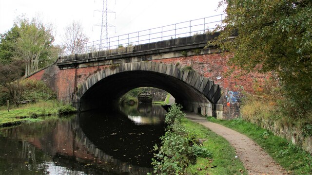
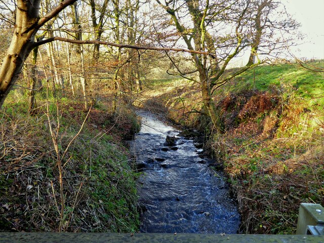
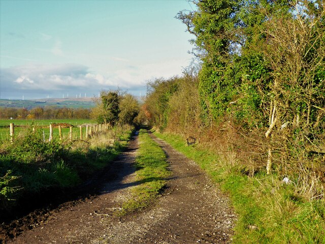
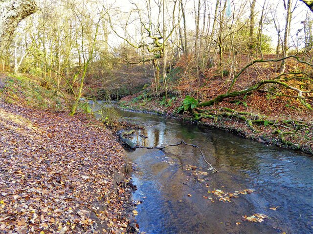
Tranquil walking trails wind through the wood, offering visitors the chance to explore its natural beauty at their own pace. These paths are well-maintained and suitable for all ages and abilities. Along the way, one can expect to encounter vibrant wildflowers, ancient moss-covered stone walls, and bubbling streams, adding to the enchanting atmosphere.

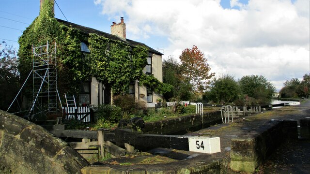
Oaken Bank Wood is also known for its rich history. The area was once part of a larger estate and has remnants of old stone buildings, hinting at its past significance. It has been carefully managed to preserve its natural features, ensuring the wood remains a tranquil and untouched escape from the hustle and bustle of modern life.

Visitors are encouraged to respect the woodland's delicate ecosystem by adhering to the designated trails and refraining from littering. There are no facilities within the wood itself, but nearby villages offer amenities such as parking, cafes, and picnic areas.

Overall, Oaken Bank Wood is a hidden gem in Lancashire, offering a peaceful retreat for those seeking solace in nature's embrace.

If you have any feedback on the listing, please let us know in the comments section below.

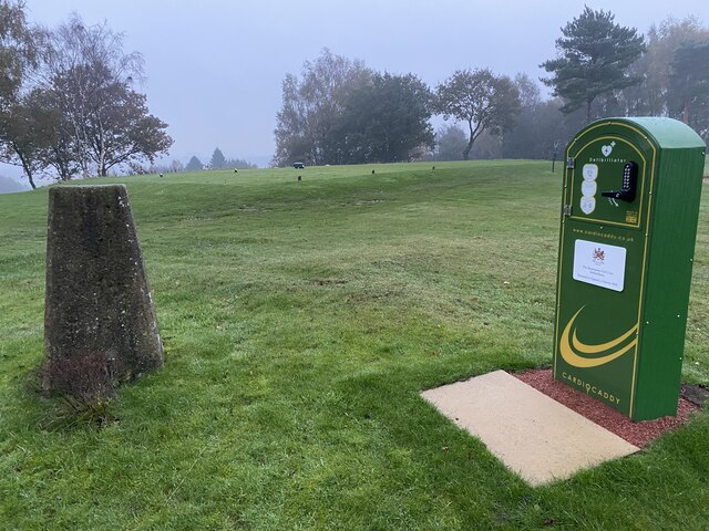
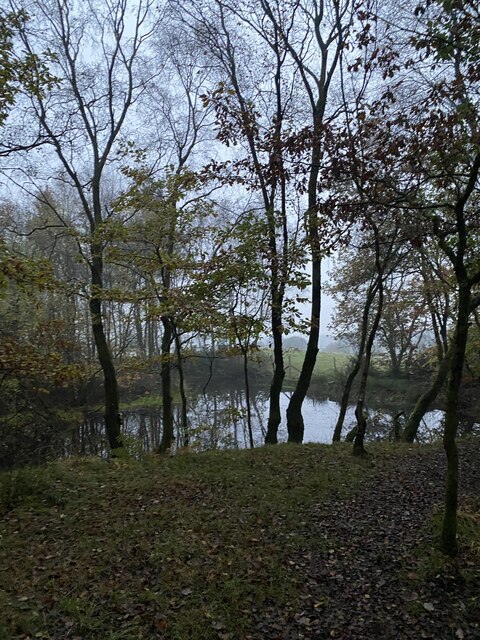
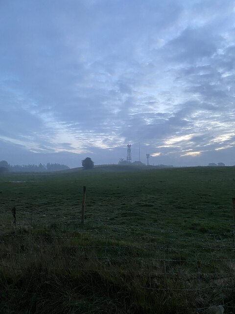
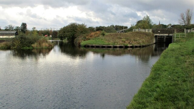
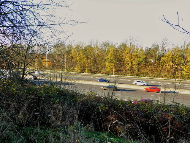
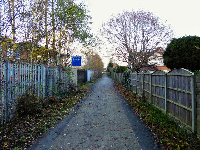
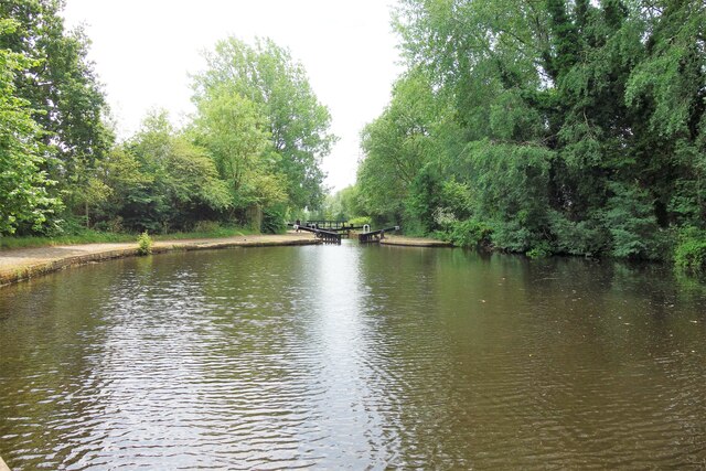
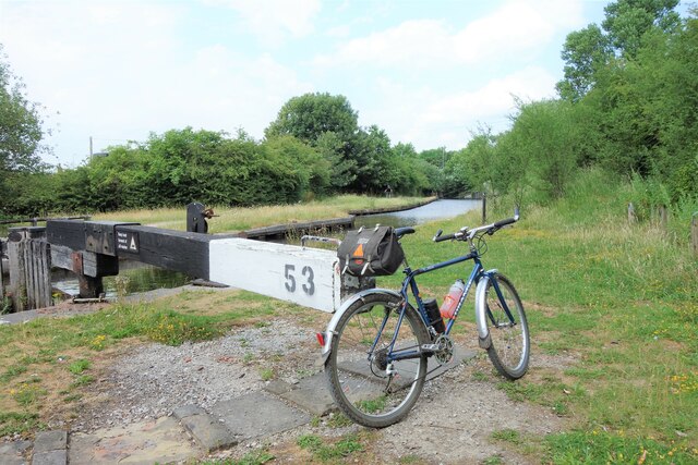
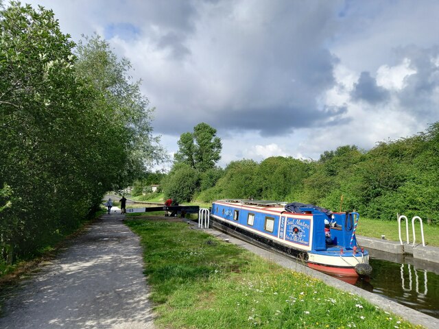
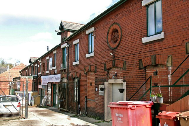
Oaken Bank Wood Images

Images are sourced within 2km of 53.571533/-2.1942758 or Grid Reference SD8708. Thanks to Geograph Open Source API. All images are credited.

WWII Lancashire: Ghost Signs of the Home Front (14) -
Emergency Rendezvous Point, Baker Street, at junction with Manchester Road, Heywood, Bury

"ERP 235"

Emergency Rendezvous Points (ERP) were designated places in the locality for the coordination of ARP and emergency services during civil emergencies, particularly for those services arriving from outside the area. The signs appear in a variety of designs, but most are diamond shapes framing the ERP locality number.

<a href="https://www.geograph.org.uk/photo/6945289">SD8609 : WWII Lancashire: Ghost Signs of the Home Front  (15)</a>
WWII Lancashire: Ghost Signs of the Home Front (14)
- Emergency Rendezvous Point, Baker Street, at junction with Manchester Road, Heywood, Bury "ERP 235" Emergency Rendezvous Points (ERP) were designated places in the locality for the coordination of ARP and emergency services during civil emergencies, particularly for those services arriving from outside the area. The signs appear in a variety of designs, but most are diamond shapes framing the ERP locality number. SD8609 : WWII Lancashire: Ghost Signs of the Home Front (15)
WWII Lancashire: Ghost Signs of the Home Front  (15) -
Emergency Rendezvous Point, Baker Street, at junction with Manchester Road, Heywood, Bury

"ERP 235"

Emergency Rendezvous Points (ERP) were designated places in the locality for the coordination of ARP and emergency services during civil emergencies, particularly for those services arriving from outside the area. The signs appear in a variety of designs, but most are diamond shapes framing the ERP locality number.

<a href="https://www.geograph.org.uk/photo/6945295">SD8013 : WWII Lancashire: Ghost Signs of the Home Front  (16)</a>
WWII Lancashire: Ghost Signs of the Home Front (15)
- Emergency Rendezvous Point, Baker Street, at junction with Manchester Road, Heywood, Bury "ERP 235" Emergency Rendezvous Points (ERP) were designated places in the locality for the coordination of ARP and emergency services during civil emergencies, particularly for those services arriving from outside the area. The signs appear in a variety of designs, but most are diamond shapes framing the ERP locality number. SD8013 : WWII Lancashire: Ghost Signs of the Home Front (16)
Manchester Golf Course Trig Point Flush Bracket S2789
Glade Wood
Glade Wood
Masts at dusk Rochdale Way
Rochdale Canal modern deviation at Trub The construction of the M62 motorway blocked the Rochdale Canal. A new deviation leading to a new underbridge of the motorway was made. The locks of this deviation are on the far right of the view. Straight ahead is the original route still with water
Rochdale Canal modern deviation at Trub
The construction of the M62 motorway blocked the Rochdale Canal. A new deviation leading to a new underbridge of the motorway was made. The locks of this deviation are on the far right of the view. Straight ahead is the original route still with water
Lock House, Slattocks By the side of Rochdale Canal Lock No.54
Lock House, Slattocks
By the side of Rochdale Canal Lock No.54
Railway Overbridge, Slattocks Crossing the Rochdale Canal, with lock No.58 beyond. The bridge carries No.68b
Railway Overbridge, Slattocks
Crossing the Rochdale Canal, with lock No.58 beyond. The bridge carries No.68b
Trub Brook View from the track used by Rochdale Way around Hopwood Hall
Trub Brook
View from the track used by Rochdale Way around Hopwood Hall
Route of old tramway View of the old tramway route after it has crossed Oaken Bank Road. The tramway ran from Hatters coal pit to presumably the Heywood Branch of the Rochdale Canal. The route has now been severed by the M62 motorway but still appears to be a right of way.
Route of old tramway
View of the old tramway route after it has crossed Oaken Bank Road. The tramway ran from Hatters coal pit to presumably the Heywood Branch of the Rochdale Canal. The route has now been severed by the M62 motorway but still appears to be a right of way.
The missing footbridge across the M62? The former tramway route from Hatters coal pit to Heywood still appears to be a right of way. It has been severed at this point by the motorway and no bridge provision made
The missing footbridge across the M62?
The former tramway route from Hatters coal pit to Heywood still appears to be a right of way. It has been severed at this point by the motorway and no bridge provision made
Byway south of St Anne's Academy This route leads to the former Hopwood Hall estate
Byway south of St Anne's Academy
This route leads to the former Hopwood Hall estate
Trub Brook in Hopwood Clough The clough is another area around Hopwood Hall that makes up the Hopwood Nature Reserve
Trub Brook in Hopwood Clough
The clough is another area around Hopwood Hall that makes up the Hopwood Nature Reserve
Winding hole at Slattocks locks Rochdale Canal near Middleton.
Winding hole at Slattocks locks
Rochdale Canal near Middleton.
Lock 53, Rochdale Canal At Trub, near Castleton
Lock 53, Rochdale Canal
At Trub, near Castleton
Rochdale Canal, lock 53 Narrowboat 'Soul Mates' negotiating lock 53 (Trub Lock) near Castleton.
Rochdale Canal, lock 53
Narrowboat 'Soul Mates' negotiating lock 53 (Trub Lock) near Castleton.
The former Phoenix Brewery, Heywood – 1 I haven't worked out what the function of the buildings in the foreground was.
The former Phoenix Brewery, Heywood – 1
I haven't worked out what the function of the buildings in the foreground was.
The former Phoenix Brewery, Heywood – 2 This range may have been the stable block, now occupied by various small businesses.
The former Phoenix Brewery, Heywood – 2
This range may have been the stable block, now occupied by various small businesses.
Show me another place!

Oaken Bank Wood is located at Grid Ref: SD8708 (Lat: 53.571533, Lng: -2.1942758)

Unitary Authority: Rochdale

Police Authority: Greater Manchester

What 3 Words

///softly.grab.topped. Near Middleton, Manchester

Related Wikis

Hopwood Hall

Hopwood Hall is a Grade II* historic house in Middleton, Greater Manchester, England, which was the ancestral country home of the landed gentry family...

St Anne's Academy

St Anne's Academy is an 11–16 mixed comprehensive academy in Middleton area of the Metropolitan Borough of Rochdale in Greater Manchester, United Kingdom...

Manchester Golf Club

Manchester Golf Club, is a golf club in Middleton, Greater Manchester, England. The club was founded in 1882 as the Manchester St Andrews Golf Club, to...

Cardinal Langley Roman Catholic High School

The Cardinal Langley Roman Catholic High School is a Roman Catholic secondary school in Middleton, Greater Manchester, England, for ages 11–18. The school...

Heywood and Middleton (UK Parliament constituency)

Heywood and Middleton is a constituency in Greater Manchester represented in the House of Commons of the UK Parliament since 2019 by Chris Clarkson of...

Slattocks railway station

Slattocks is a proposed railway station in Castleton, Greater Manchester. It would be located between Mills Hill and Castleton in the Metropolitan Borough...

Hopwood, Greater Manchester

Hopwood is a suburb of Heywood, a town within the Metropolitan Borough of Rochdale, in Greater Manchester, England. It is north of the M62 motorway. During...

Middleton, Greater Manchester

Middleton is a town in the Metropolitan Borough of Rochdale, Greater Manchester, England, on the River Irk 5 miles (8.0 km) southwest of Rochdale and 5...

Nearby Amenities

Located within 500m of 53.571533,-2.1942758
Barrier: stile
Lat/Long: 53.5704963/-2.1984529
Barrier: kissing_gate
Foot: yes
Lat/Long: 53.5691902/-2.197262
Barrier: stile
Lat/Long: 53.5734015/-2.195599
Barrier: kissing_gate
Lat/Long: 53.572637/-2.1960818
Barrier: stile
Lat/Long: 53.5731701/-2.1995629
Barrier: stile
Lat/Long: 53.5721166/-2.1991216
Reception
Tourism: information
Lat/Long: 53.5689908/-2.1883841
Bicycle Parking
Lat/Long: 53.569178/-2.1882244
Crossing
Lat/Long: 53.5684258/-2.1890242
Crossing
Lat/Long: 53.5684258/-2.1890757
Barrier: horse_stile
Lat/Long: 53.573099/-2.1990398
Barrier: kissing_gate
Lat/Long: 53.5720496/-2.1915994
The data included in this document is from www.openstreetmap.org. The data is made available under ODbL.

Have you been to Oaken Bank Wood?

Leave your review of Oaken Bank Wood below (or comments, questions and feedback).