Round Hill

Hill, Mountain in Lancashire

England

Round Hill

WWII Lancashire: Ghost Signs of the Home Front (14) -
Emergency Rendezvous Point, Baker Street, at junction with Manchester Road, Heywood, Bury

"ERP 235"

Emergency Rendezvous Points (ERP) were designated places in the locality for the coordination of ARP and emergency services during civil emergencies, particularly for those services arriving from outside the area. The signs appear in a variety of designs, but most are diamond shapes framing the ERP locality number.

<a href="https://www.geograph.org.uk/photo/6945289">SD8609 : WWII Lancashire: Ghost Signs of the Home Front  (15)</a>
WWII Lancashire: Ghost Signs of the Home Front (14) Credit: Mike Searle

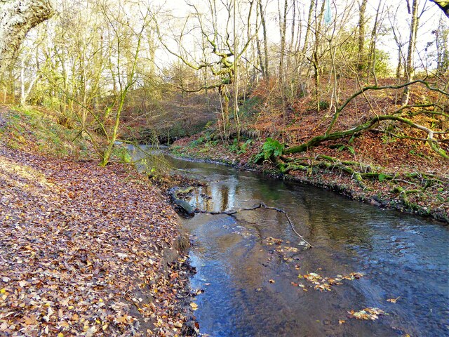
Round Hill is a prominent hill located in the county of Lancashire, England. With an elevation of around 449 meters (1,473 feet), it is considered one of the highest points in the region. Situated within the Forest of Bowland, an Area of Outstanding Natural Beauty, Round Hill offers breathtaking panoramic views of the surrounding countryside.

This hill is a popular destination for outdoor enthusiasts and nature lovers alike. Its diverse landscape consists of heather moorland, grassy slopes, and rocky outcrops, providing a haven for a wide range of flora and fauna. Hikers and walkers are drawn to Round Hill due to its challenging trails and well-marked paths, making it an ideal location for those seeking an adventurous trek.

The hill's location within the Forest of Bowland also means that it is home to a variety of wildlife. Birdwatchers flock to Round Hill to spot rare species such as the hen harrier and the peregrine falcon. Other animals, including red deer and mountain hares, can also be spotted in the area.

Round Hill's significance extends beyond its natural beauty. It holds historical importance as well, with evidence of prehistoric settlements and ancient burial mounds found nearby. These archaeological features add to the intrigue and allure of the hill, attracting history enthusiasts eager to explore the area's past.

Overall, Round Hill in Lancashire offers a unique blend of natural beauty, challenging terrain, and historical significance. Whether one seeks outdoor adventure, picturesque views, or a glimpse into the past, this hill provides an unforgettable experience for visitors.

If you have any feedback on the listing, please let us know in the comments section below.
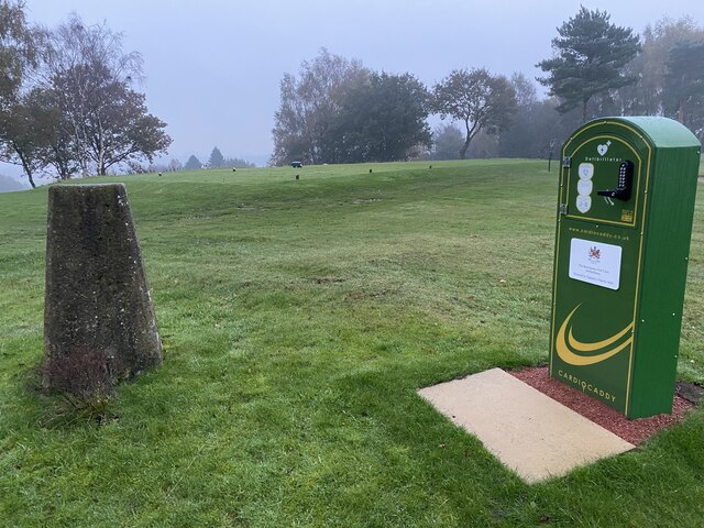
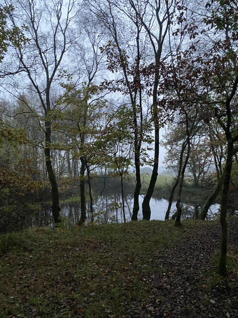
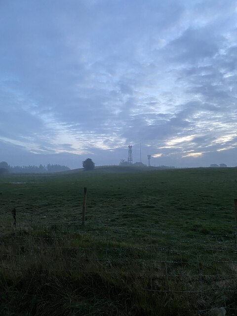
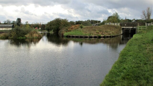
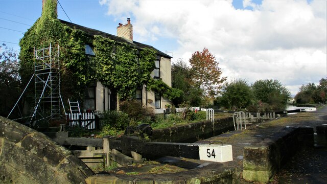
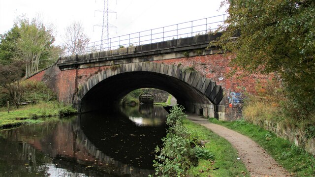
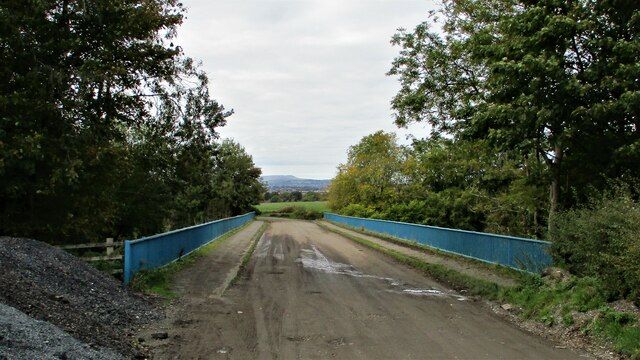
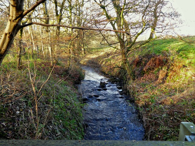
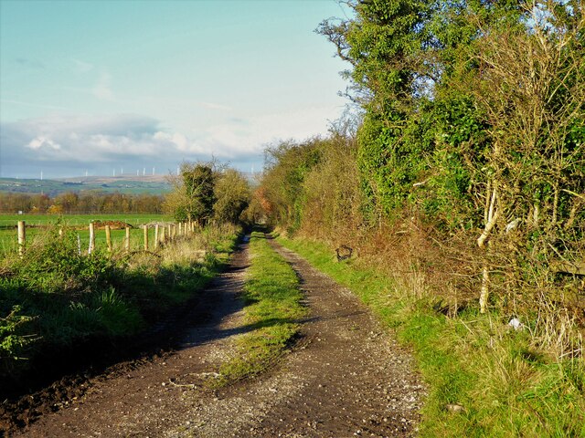
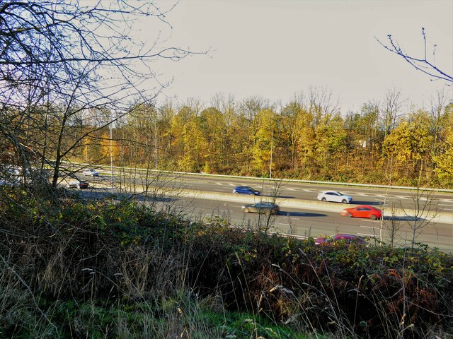
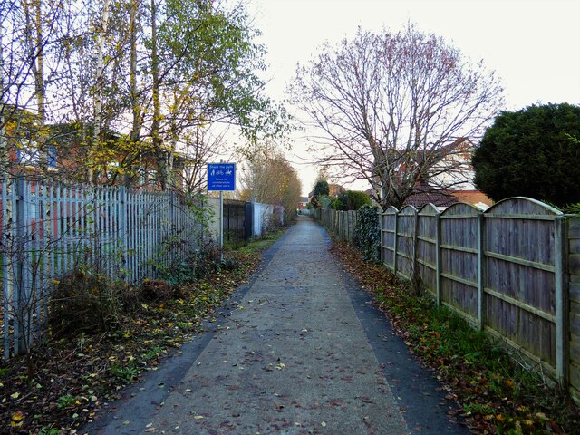
Round Hill Images

Images are sourced within 2km of 53.574008/-2.1868421 or Grid Reference SD8708. Thanks to Geograph Open Source API. All images are credited.

WWII Lancashire: Ghost Signs of the Home Front (14) -
Emergency Rendezvous Point, Baker Street, at junction with Manchester Road, Heywood, Bury

"ERP 235"

Emergency Rendezvous Points (ERP) were designated places in the locality for the coordination of ARP and emergency services during civil emergencies, particularly for those services arriving from outside the area. The signs appear in a variety of designs, but most are diamond shapes framing the ERP locality number.

<a href="https://www.geograph.org.uk/photo/6945289">SD8609 : WWII Lancashire: Ghost Signs of the Home Front  (15)</a>
WWII Lancashire: Ghost Signs of the Home Front (14)
- Emergency Rendezvous Point, Baker Street, at junction with Manchester Road, Heywood, Bury "ERP 235" Emergency Rendezvous Points (ERP) were designated places in the locality for the coordination of ARP and emergency services during civil emergencies, particularly for those services arriving from outside the area. The signs appear in a variety of designs, but most are diamond shapes framing the ERP locality number. SD8609 : WWII Lancashire: Ghost Signs of the Home Front (15)
WWII Lancashire: Ghost Signs of the Home Front  (15) -
Emergency Rendezvous Point, Baker Street, at junction with Manchester Road, Heywood, Bury

"ERP 235"

Emergency Rendezvous Points (ERP) were designated places in the locality for the coordination of ARP and emergency services during civil emergencies, particularly for those services arriving from outside the area. The signs appear in a variety of designs, but most are diamond shapes framing the ERP locality number.

<a href="https://www.geograph.org.uk/photo/6945295">SD8013 : WWII Lancashire: Ghost Signs of the Home Front  (16)</a>
WWII Lancashire: Ghost Signs of the Home Front (15)
- Emergency Rendezvous Point, Baker Street, at junction with Manchester Road, Heywood, Bury "ERP 235" Emergency Rendezvous Points (ERP) were designated places in the locality for the coordination of ARP and emergency services during civil emergencies, particularly for those services arriving from outside the area. The signs appear in a variety of designs, but most are diamond shapes framing the ERP locality number. SD8013 : WWII Lancashire: Ghost Signs of the Home Front (16)
Manchester Golf Course Trig Point Flush Bracket S2789
Glade Wood
Glade Wood
Masts at dusk Rochdale Way
Rochdale Canal modern deviation at Trub The construction of the M62 motorway blocked the Rochdale Canal. A new deviation leading to a new underbridge of the motorway was made. The locks of this deviation are on the far right of the view. Straight ahead is the original route still with water
Rochdale Canal modern deviation at Trub
The construction of the M62 motorway blocked the Rochdale Canal. A new deviation leading to a new underbridge of the motorway was made. The locks of this deviation are on the far right of the view. Straight ahead is the original route still with water
Lock House, Slattocks By the side of Rochdale Canal Lock No.54
Lock House, Slattocks
By the side of Rochdale Canal Lock No.54
Railway Overbridge, Slattocks Crossing the Rochdale Canal, with lock No.58 beyond. The bridge carries No.68b
Railway Overbridge, Slattocks
Crossing the Rochdale Canal, with lock No.58 beyond. The bridge carries No.68b
Thornham Lane Bridge Crossing over the A627(M) motorway
Thornham Lane Bridge
Crossing over the A627(M) motorway
Trub Brook View from the track used by Rochdale Way around Hopwood Hall
Trub Brook
View from the track used by Rochdale Way around Hopwood Hall
Route of old tramway View of the old tramway route after it has crossed Oaken Bank Road. The tramway ran from Hatters coal pit to presumably the Heywood Branch of the Rochdale Canal. The route has now been severed by the M62 motorway but still appears to be a right of way.
Route of old tramway
View of the old tramway route after it has crossed Oaken Bank Road. The tramway ran from Hatters coal pit to presumably the Heywood Branch of the Rochdale Canal. The route has now been severed by the M62 motorway but still appears to be a right of way.
The missing footbridge across the M62? The former tramway route from Hatters coal pit to Heywood still appears to be a right of way. It has been severed at this point by the motorway and no bridge provision made
The missing footbridge across the M62?
The former tramway route from Hatters coal pit to Heywood still appears to be a right of way. It has been severed at this point by the motorway and no bridge provision made
Byway south of St Anne's Academy This route leads to the former Hopwood Hall estate
Byway south of St Anne's Academy
This route leads to the former Hopwood Hall estate
Trub Brook in Hopwood Clough The clough is another area around Hopwood Hall that makes up the Hopwood Nature Reserve
Trub Brook in Hopwood Clough
The clough is another area around Hopwood Hall that makes up the Hopwood Nature Reserve
Winding hole at Slattocks locks Rochdale Canal near Middleton.
Winding hole at Slattocks locks
Rochdale Canal near Middleton.
Lock 53, Rochdale Canal At Trub, near Castleton
Lock 53, Rochdale Canal
At Trub, near Castleton
Rochdale Canal, lock 53 Narrowboat 'Soul Mates' negotiating lock 53 (Trub Lock) near Castleton.
Rochdale Canal, lock 53
Narrowboat 'Soul Mates' negotiating lock 53 (Trub Lock) near Castleton.
Field gate on Thornham Old Road An un-made road running across the lower slopes of Tandle Hill. Distant view of Manchester city centre's skyscrapers.
Field gate on Thornham Old Road
An un-made road running across the lower slopes of Tandle Hill. Distant view of Manchester city centre's skyscrapers.
Show me another place!

Round Hill is located at Grid Ref: SD8708 (Lat: 53.574008, Lng: -2.1868421)

Unitary Authority: Rochdale

Police Authority: Greater Manchester

What 3 Words

///pink.flags.sketch. Near Middleton, Manchester

Related Wikis

Hopwood Hall

Hopwood Hall is a Grade II* historic house in Middleton, Greater Manchester, England, which was the ancestral country home of the landed gentry family...

Manchester Golf Club

Manchester Golf Club, is a golf club in Middleton, Greater Manchester, England. The club was founded in 1882 as the Manchester St Andrews Golf Club, to...

Slattocks railway station

Slattocks is a proposed railway station in Castleton, Greater Manchester. It would be located between Mills Hill and Castleton in the Metropolitan Borough...

Cardinal Langley Roman Catholic High School

The Cardinal Langley Roman Catholic High School is a Roman Catholic secondary school in Middleton, Greater Manchester, England, for ages 11–18. The school...

St Anne's Academy

St Anne's Academy is an 11–16 mixed comprehensive academy in Middleton area of the Metropolitan Borough of Rochdale in Greater Manchester, United Kingdom...

Hopwood, Greater Manchester

Hopwood is a suburb of Heywood, a town within the Metropolitan Borough of Rochdale, in Greater Manchester, England. It is north of the M62 motorway. During...

Heywood and Middleton (UK Parliament constituency)

Heywood and Middleton is a constituency in Greater Manchester represented in the House of Commons of the UK Parliament since 2019 by Chris Clarkson of...

Rochdale Town F.C.

Rochdale Town Football Club was an association football club based in Rochdale, Greater Manchester, England. They played home matches at Castleton Sports...

Nearby Amenities

Located within 500m of 53.574008,-2.1868421
YOU ARE HERE
Lat/Long: 53.5733073/-2.1795017
Barrier: kissing_gate
Foot: designated
Lat/Long: 53.5702064/-2.1834978
Bench
Lat/Long: 53.5733367/-2.1829167
Barrier: kissing_gate
Lat/Long: 53.5720496/-2.1915994
The data included in this document is from www.openstreetmap.org. The data is made available under ODbL.

Have you been to Round Hill?

Leave your review of Round Hill below (or comments, questions and feedback).