Extwistle Hill

Hill, Mountain in Lancashire Burnley

England

Extwistle Hill

River Brun above Rowley Lake Looking upstream from the circular path around the lake.
River Brun above Rowley Lake Credit: Bill Boaden

Extwistle Hill is a prominent hill located in the county of Lancashire, England. Situated near the town of Burnley, it is a notable landmark in the region, offering picturesque views and a natural beauty. While not classified as a mountain, it stands at an elevation of approximately 337 meters (1,106 feet) above sea level, making it one of the highest points in the area.

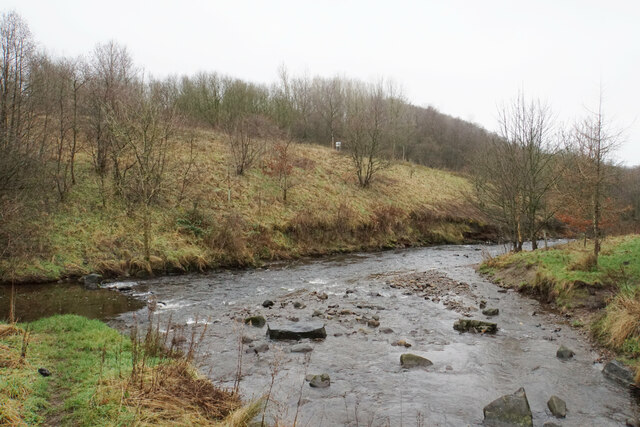
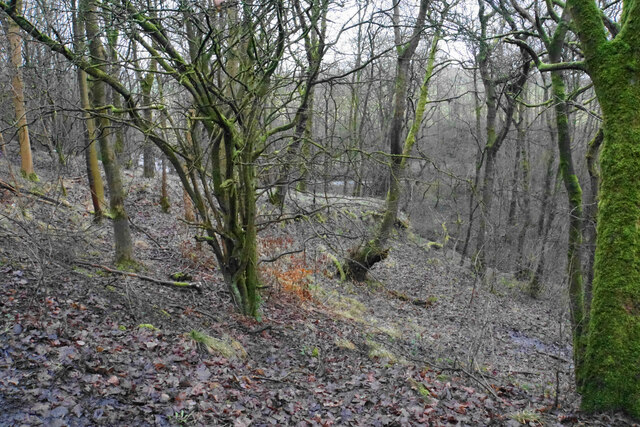
Covered in lush greenery, Extwistle Hill is part of the extensive Pennine Hills, which stretch across Northern England. Its slopes are adorned with a mix of heather, grasses, and woodland, creating a diverse habitat for a variety of plant and animal species. The hill is particularly known for its rich birdlife, with species such as the skylark and meadow pipit often spotted in the area.

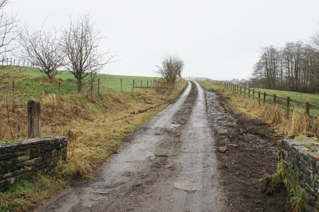
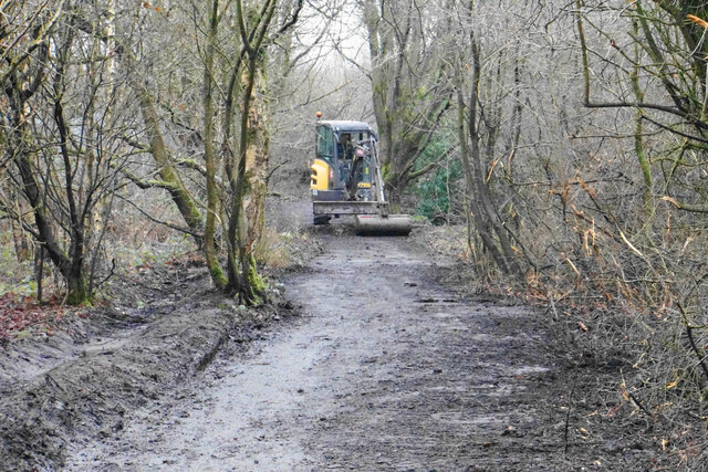
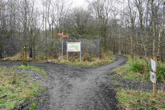
Extwistle Hill is a popular destination for outdoor enthusiasts and nature lovers. Several footpaths and trails traverse the hill, providing opportunities for walking, hiking, and exploring its scenic surroundings. At the summit, visitors are rewarded with breathtaking panoramic views of the surrounding countryside, including the rolling hills, valleys, and nearby towns.

In addition to its natural beauty, Extwistle Hill also holds historical significance. It is home to the remains of an Iron Age hill fort, believed to have been constructed around 500 BC. This ancient site adds an extra layer of intrigue and allure to the hill, attracting history enthusiasts and archaeologists alike.

Overall, Extwistle Hill offers a tranquil escape from the hustle and bustle of everyday life, providing a perfect blend of natural splendor and historical intrigue for visitors to enjoy.

If you have any feedback on the listing, please let us know in the comments section below.

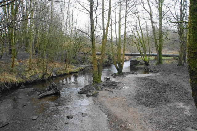
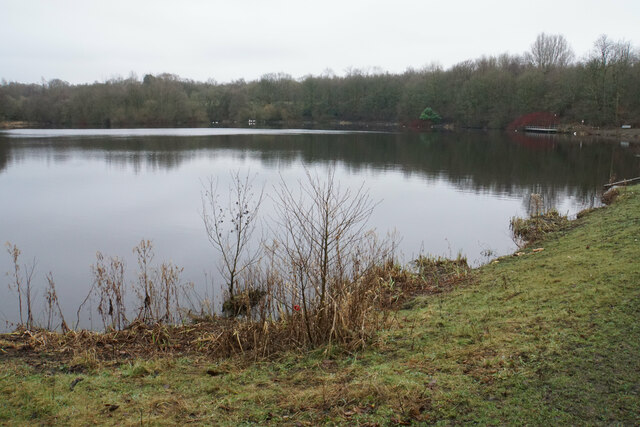
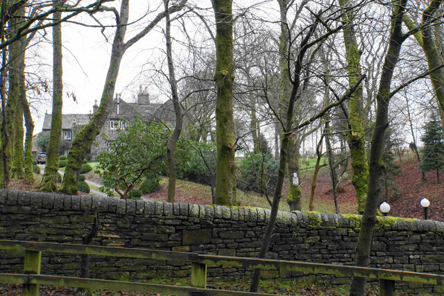
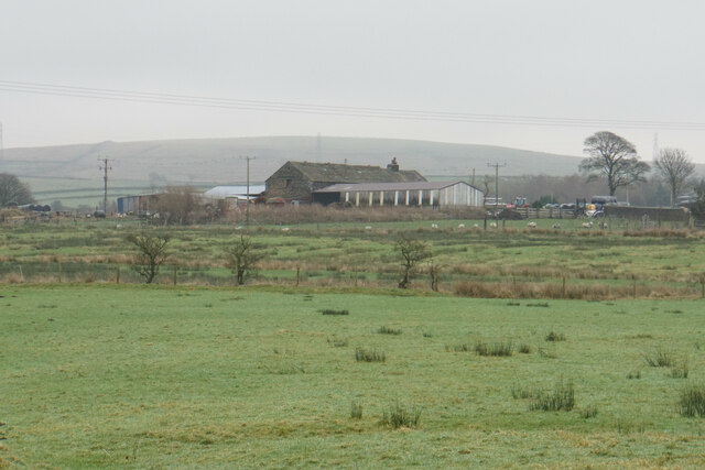
Extwistle Hill Images

Images are sourced within 2km of 53.802225/-2.1874922 or Grid Reference SD8734. Thanks to Geograph Open Source API. All images are credited.

River Brun above Rowley Lake Looking upstream from the circular path around the lake.
River Brun above Rowley Lake
Looking upstream from the circular path around the lake.
Rowley Lake An artificial lake created on the River Brun, seen here with sombre January colouring.
Rowley Lake
An artificial lake created on the River Brun, seen here with sombre January colouring.
Rowley Hall A lot of farm buildings are behind the grand house, as seen from Rowley Lane.
Rowley Hall
A lot of farm buildings are behind the grand house, as seen from Rowley Lane.
Heckenhurst Farm Viewed from Rowley Lane on a slightly misty day. Wasnop Edge is in the background, the beginning of the higher Pennines.
Heckenhurst Farm
Viewed from Rowley Lane on a slightly misty day. Wasnop Edge is in the background, the beginning of the higher Pennines.
Track up to Netherwood Farm The section up the slope has been reinforced with concrete to make it more durable, though the concrete has a good coating of mud.
Track up to Netherwood Farm
The section up the slope has been reinforced with concrete to make it more durable, though the concrete has a good coating of mud.
Confluence of the Rivers Don and Brun The rivers meet in the Brun Valley Forest Park.
Confluence of the Rivers Don and Brun
The rivers meet in the Brun Valley Forest Park.
Woodland in Scrogg's Wood Part of the Brun Valley Forest Park. The land slopes down to the River Don, which is just about seen ahead.
Woodland in Scrogg's Wood
Part of the Brun Valley Forest Park. The land slopes down to the River Don, which is just about seen ahead.
Path remedial works in the Brun Valley Forest Park The broad paths are kept in good order by the local councils.
Path remedial works in the Brun Valley Forest Park
The broad paths are kept in good order by the local councils.
Crossing of paths in the Don valley Part of the Brun Valley Forest Park. The route left takes you straight out into Heasandford Industrial Estate.
Crossing of paths in the Don valley
Part of the Brun Valley Forest Park. The route left takes you straight out into Heasandford Industrial Estate.
Widow Hill Road A winding road through Heasandford Industrial Estate.
Widow Hill Road
A winding road through Heasandford Industrial Estate.
Council depot in Heasandford A base for Lancashire County Council gritting lorries.
Council depot in Heasandford
A base for Lancashire County Council gritting lorries.
Path to Netherwood Farm The path crosses the valley of the River Don. The brook to the left, which flows into the Don, has just emerged from a culvert.
Path to Netherwood Farm
The path crosses the valley of the River Don. The brook to the left, which flows into the Don, has just emerged from a culvert.
Footbridge across the River Don A very long bridge in relation to the width of the river, but it also crosses a small tributary.
Footbridge across the River Don
A very long bridge in relation to the width of the river, but it also crosses a small tributary.
Path to Netherwood Farm The whole field is muddy, but this field corner is a bit worse than the rest of it.
Path to Netherwood Farm
The whole field is muddy, but this field corner is a bit worse than the rest of it.
Queen Street Mill - engine running William Roberts of Nelson horizontal tandem compound mill engine running at 68 rpm. This explains the blurring of the crank and flywheel. The governor's balls can also seen to be in the 'out' position indicating that the engine is running. The yellow and black marking on the floor is for the public to stay behind. The engine driver is always present and the public are well behaved.
Queen Street was the last Lancashire weaving shed to run under steam power and is now a working textile museum operated by Lancashire County Council.

On this occasion this was the engine's penultimate run before the engine tenter retired ahead of a hiatus of unknown length. We obviously hope that a replacement will be found and the engine back in steam as soon as possible. The mesh guarding below the handrail is an addition since my last visit in 2013.
Queen Street Mill - engine running
William Roberts of Nelson horizontal tandem compound mill engine running at 68 rpm. This explains the blurring of the crank and flywheel. The governor's balls can also seen to be in the 'out' position indicating that the engine is running. The yellow and black marking on the floor is for the public to stay behind. The engine driver is always present and the public are well behaved. Queen Street was the last Lancashire weaving shed to run under steam power and is now a working textile museum operated by Lancashire County Council. On this occasion this was the engine's penultimate run before the engine tenter retired ahead of a hiatus of unknown length. We obviously hope that a replacement will be found and the engine back in steam as soon as possible. The mesh guarding below the handrail is an addition since my last visit in 2013.
Queen Street Mill - the weaving shed This mill is now a museum and still demonstrates its steam engine turning the line shafting and operating a few looms only. There would be 800-1200 Lancashire looms in a typical shed, each taking about 0.5 horsepower of steam engine power and producing an incredible din. The mill girls communicated by lip reading a skill called mee-mawing (somebody will correct the spelling).

This view was taken with the permission of the collections manager who was taking us through the shed to see some items in store. It gives a good impression of the forest of belts driving the Lancashire looms.
Queen Street Mill - the weaving shed
This mill is now a museum and still demonstrates its steam engine turning the line shafting and operating a few looms only. There would be 800-1200 Lancashire looms in a typical shed, each taking about 0.5 horsepower of steam engine power and producing an incredible din. The mill girls communicated by lip reading a skill called mee-mawing (somebody will correct the spelling). This view was taken with the permission of the collections manager who was taking us through the shed to see some items in store. It gives a good impression of the forest of belts driving the Lancashire looms.
Queen Street Mill - Engineering Heritage Award This former cotton weaving shed is now a museum and the original steam engine - Peace -  can still run and has been honoured with this award. The Institution has an excellent strap line - Improving the world through engineering. 

I always intend to photograph these plaques but often forget while distracted by what they are celebrating.
Queen Street Mill - Engineering Heritage Award
This former cotton weaving shed is now a museum and the original steam engine - Peace - can still run and has been honoured with this award. The Institution has an excellent strap line - Improving the world through engineering. I always intend to photograph these plaques but often forget while distracted by what they are celebrating.
Queen Street Mill - pressure gauges These gauges on the engine house wall let the driver know that all is well with the tandem compound mill engine - Peace - that powered the mill. A glance will tell you that the engine is running, which should come as no surprise unless you are unconscious as the sight and sound of it is quite spectacular enough.

The left hand gauge is the steam pressure in the main from the boiler house. This is just a shade under 45 psi, which is adequate for running the engine essentially off load apart from the friction of the gearing and lineshafts. The middle gauge is the vacuum in the condenser and is around 24 inches of mercury (one atmosphere being 30"). The gauge on the right is a combination pressure and vacuum gauge that measures the pressure between the high and low pressure cylinders. Because the engine is working on so little load this is subatmospheric at about 7" of mercury. With the engine on full load it would have been above atmospheric pressure. The red pipe on the right transfers steam between the two cylinders.
Queen Street Mill - pressure gauges
These gauges on the engine house wall let the driver know that all is well with the tandem compound mill engine - Peace - that powered the mill. A glance will tell you that the engine is running, which should come as no surprise unless you are unconscious as the sight and sound of it is quite spectacular enough. The left hand gauge is the steam pressure in the main from the boiler house. This is just a shade under 45 psi, which is adequate for running the engine essentially off load apart from the friction of the gearing and lineshafts. The middle gauge is the vacuum in the condenser and is around 24 inches of mercury (one atmosphere being 30"). The gauge on the right is a combination pressure and vacuum gauge that measures the pressure between the high and low pressure cylinders. Because the engine is working on so little load this is subatmospheric at about 7" of mercury. With the engine on full load it would have been above atmospheric pressure. The red pipe on the right transfers steam between the two cylinders.
Show me another place!

Extwistle Hill is located at Grid Ref: SD8734 (Lat: 53.802225, Lng: -2.1874922)

Administrative County: Lancashire

District: Burnley

Police Authority: Lancashire

What 3 Words

///meal.organ.shady. Near Burnley, Lancashire

Nearby Locations

Extwistle Hill Cockden

Related Wikis

Briercliffe

Briercliffe (historically Briercliffe-with-Extwistle) is a civil parish in the borough of Burnley, in Lancashire, England. It is situated 3 miles (4.8...

Queen Street Mill

Queen Street Mill is a former weaving mill in Harle Syke, a suburb to the north-east of Burnley, Lancashire, that is a Grade I listed building. It now...

Haggate

Haggate is a small village within the parish of Briercliffe, situated three miles north of Burnley, Lancashire. The village is mostly built around a small...

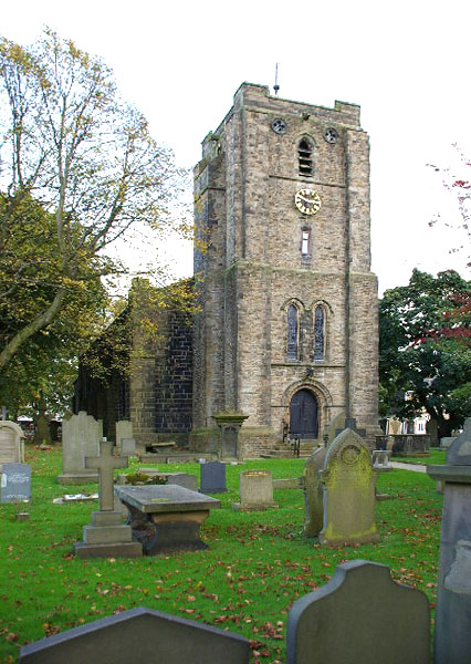
St James' Church, Briercliffe

St James' Church is in Church Street, Briercliffe, Lancashire, England. It is an active Anglican parish church in the deanery of Burnley, the archdeaconry...

Harle Syke Mill

Harle Syke mill is a weaving shed in Briercliffe on the outskirts of Burnley, Lancashire, England. It was built on a green field site in 1856, together...

Harle Syke

Harle Syke is a small village within the parish of Briercliffe, situated three miles north of Burnley, Lancashire, England. It was the home to eleven weaving...

St John the Evangelist's Church, Worsthorne

St John the Evangelist's Church is in Church Square in the village of Worsthorne, Lancashire, England. It is an active Anglican parish church in the deanery...

Worsthorne

Worsthorne is a rural village on the eastern outskirts of Burnley in Lancashire, England. It is in the civil parish of Worsthorne-with-Hurstwood and the...

Nearby Amenities

Located within 500m of 53.802225,-2.1874922
The data included in this document is from www.openstreetmap.org. The data is made available under ODbL.

Have you been to Extwistle Hill?

Leave your review of Extwistle Hill below (or comments, questions and feedback).