Hopwood
Settlement in Lancashire
England
Hopwood
Hopwood is a small village located in the county of Lancashire, England. Situated approximately 6 miles north of the town of Rochdale, Hopwood is surrounded by beautiful countryside and offers a peaceful and picturesque setting. The village falls within the Metropolitan Borough of Rochdale and is part of the Hopwood Hall ward.
Historically, Hopwood was known for its agricultural roots, with farming being a significant industry in the area. However, over the years, the village has seen some development and now features a mix of residential properties and farmland. The village is mainly made up of traditional stone-built houses, giving it a charming and timeless character.
Despite its small size, Hopwood offers a range of amenities for its residents. These include a local pub, a primary school, a church, and a few local shops for everyday needs. The village is well-connected to nearby towns and cities, with good road links to Rochdale and other surrounding areas. Public transportation services, including buses, provide additional options for commuting and exploring the wider region.
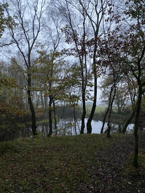
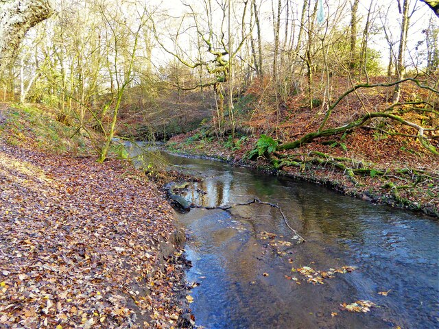
For those seeking outdoor activities, Hopwood boasts several walking paths and nature trails that allow residents and visitors to enjoy the stunning countryside. The village is also conveniently located near Hopwood Hall College, a further education institution that offers a variety of courses and facilities.
Overall, Hopwood is a quaint and idyllic village that offers a peaceful and close-knit community, making it an attractive place to reside or visit for those seeking a rural escape within Lancashire.
If you have any feedback on the listing, please let us know in the comments section below.
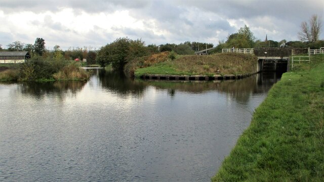
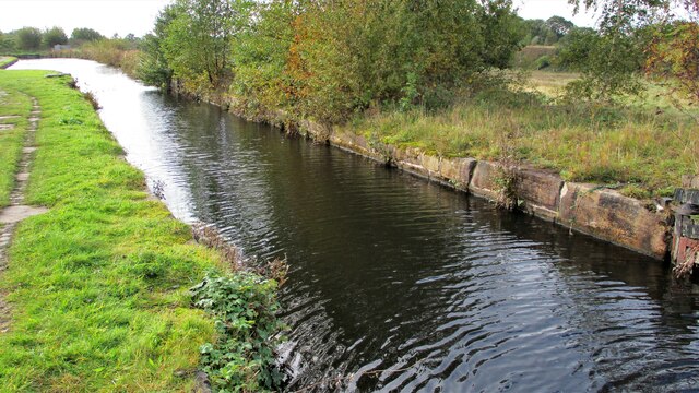
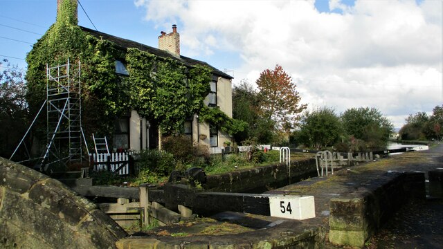
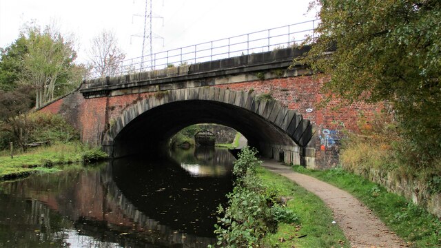
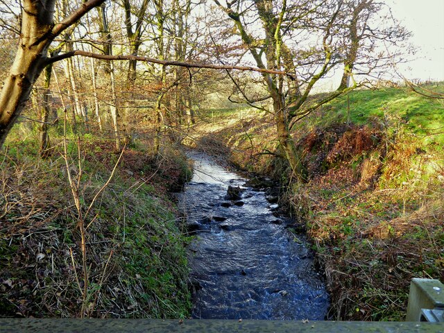
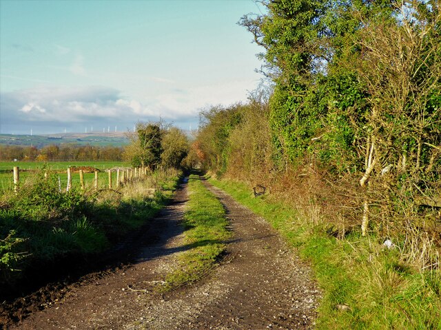
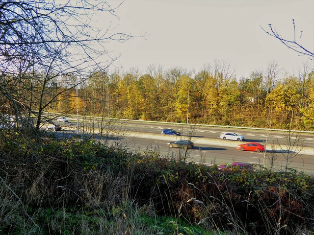
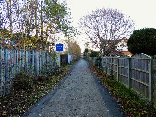
Hopwood Images
Images are sourced within 2km of 53.573125/-2.190094 or Grid Reference SD8708. Thanks to Geograph Open Source API. All images are credited.

Hopwood is located at Grid Ref: SD8708 (Lat: 53.573125, Lng: -2.190094)
Unitary Authority: Rochdale
Police Authority: Greater Manchester
What 3 Words
///oldest.bliss.sparks. Near Middleton, Manchester
Nearby Locations
Related Wikis

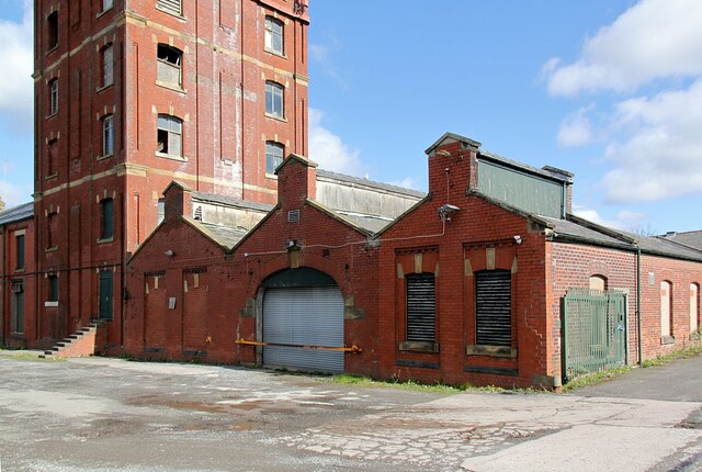
Hopwood Hall
Hopwood Hall is a Grade II* historic house in Middleton, Greater Manchester, England, which was the ancestral country home of the landed gentry family...
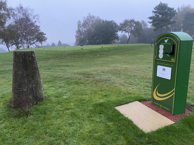
Manchester Golf Club
Manchester Golf Club, is a golf club in Middleton, Greater Manchester, England. The club was founded in 1882 as the Manchester St Andrews Golf Club, to...
Slattocks railway station
Slattocks is a proposed railway station in Castleton, Greater Manchester. It would be located between Mills Hill and Castleton in the Metropolitan Borough...
Cardinal Langley Roman Catholic High School
The Cardinal Langley Roman Catholic High School is a Roman Catholic secondary school in Middleton, Greater Manchester, England, for ages 11–18. The school...
Nearby Amenities
Located within 500m of 53.573125,-2.190094Have you been to Hopwood?
Leave your review of Hopwood below (or comments, questions and feedback).