Hopwas

Settlement in Staffordshire Lichfield

England

Hopwas

Balls Bridge, Birmingham & Fazeley Canal The small "cupboard" is for storing planks for closing the canal in emergencies or for repairs
Balls Bridge, Birmingham & Fazeley Canal Credit: Nick Atty

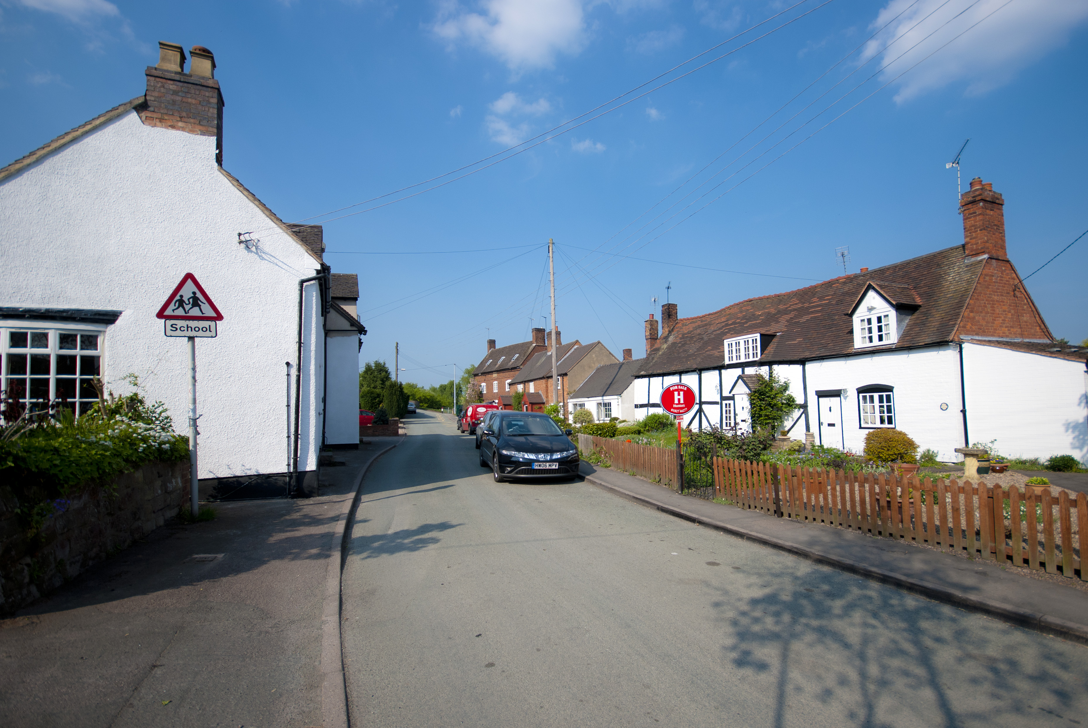
Hopwas is a small village located in the county of Staffordshire, England. Situated in the district of Lichfield, Hopwas lies approximately 5 miles northeast of the city center. The village is nestled in the Trent Valley, surrounded by picturesque countryside and greenery, making it an attractive destination for nature enthusiasts and hikers.

The history of Hopwas dates back to the Roman era, with evidence of a Roman road passing through the village. Over the years, Hopwas has retained its charm and character, with a mix of traditional stone-built cottages and more modern housing developments. The village is home to a close-knit community, fostering a friendly and welcoming atmosphere.

For outdoor enthusiasts, Hopwas boasts several natural attractions, including Hopwas Woods and the nearby Fradley Junction. Hopwas Woods, a designated Site of Special Scientific Interest, offers scenic walking trails through ancient woodland, with an abundance of flora and fauna. Fradley Junction, located on the Trent and Mersey Canal, provides an idyllic spot for boating, fishing, or simply enjoying a peaceful walk along the water's edge.

Although primarily a residential area, Hopwas benefits from its proximity to nearby towns and cities. Lichfield, with its historic cathedral and vibrant city center, is easily accessible, offering a range of amenities including shops, restaurants, and cultural attractions.

In summary, Hopwas is a charming village in Staffordshire, offering a tranquil and picturesque setting amidst the beautiful English countryside. With its rich history, natural beauty, and close-knit community, Hopwas is a delightful place to visit or call home.

If you have any feedback on the listing, please let us know in the comments section below.
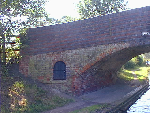
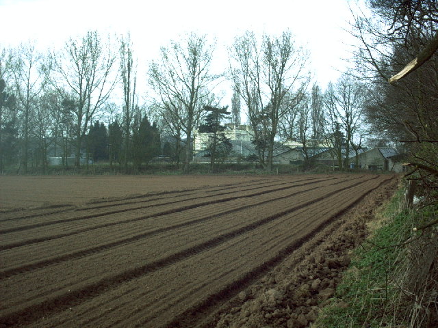
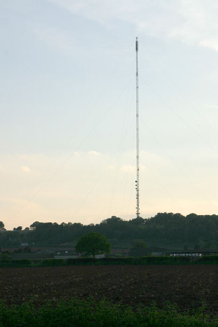
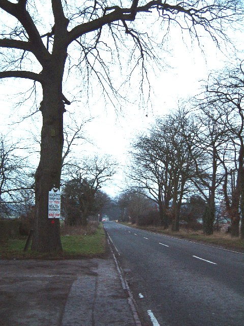
Hopwas Images

Images are sourced within 2km of 52.641175/-1.741492 or Grid Reference SK1704. Thanks to Geograph Open Source API. All images are credited.

Balls Bridge, Birmingham & Fazeley Canal The small "cupboard" is for storing planks for closing the canal in emergencies or for repairs
Balls Bridge, Birmingham & Fazeley Canal
The small "cupboard" is for storing planks for closing the canal in emergencies or for repairs
Dunstall Bridge, Birmingham & Fazeley Canal Typical of the bridges built by the Birmingham & Fazeley company along this stretch of canal, the bridge almost glows in the evening light.
Dunstall Bridge, Birmingham & Fazeley Canal
Typical of the bridges built by the Birmingham & Fazeley company along this stretch of canal, the bridge almost glows in the evening light.
Hopwas School Bridge, Birmingham & Fazeley Canal A World War II "pillbox" stands by the bridge, ready to defend Hopwas from invasion.
Hopwas School Bridge, Birmingham & Fazeley Canal
A World War II "pillbox" stands by the bridge, ready to defend Hopwas from invasion.
Tamhorn Park Bridge, Birmingham & Fazeley Canal The door in the bridge holds "stop planks" for blocking the canal when it needs to be drained.
Tamhorn Park Bridge, Birmingham & Fazeley Canal
The door in the bridge holds "stop planks" for blocking the canal when it needs to be drained.
Birth of a new road Diggers at Hints Hill bypass.
Birth of a new road
Diggers at Hints Hill bypass.
Amast my hearties! Lichfield transmitter mast - <span class="nowrap"><a title="http://tx.mb21.co.uk/gallery/gallerypage.php?txid=1329" rel="nofollow ugc noopener" href="http://tx.mb21.co.uk/gallery/gallerypage.php?txid=1329">Link</a><img style="margin-left:2px;" alt="External link" title="External link - shift click to open in new window" src="https://s1.geograph.org.uk/img/external.png" width="10" height="10"/></span>
Amast my hearties!
Lichfield transmitter mast - LinkExternal link
Packington Hall Packington Hall is home to CTP Gills Cables Ltd who make parts for Ford, Toyota and many other cars. The company has occupied the hall since WW2 when their Birmingham factory was bombed.
Packington Hall
Packington Hall is home to CTP Gills Cables Ltd who make parts for Ford, Toyota and many other cars. The company has occupied the hall since WW2 when their Birmingham factory was bombed.
Fine Mature Woodland at Hopwas Hays Wood, near Tamworth. A fine area of mature broadleaved woodland. Photo taken on Easter Monday 2005 during a major orienteering relay race being held in the woods.
Fine Mature Woodland at Hopwas Hays Wood, near Tamworth.
A fine area of mature broadleaved woodland. Photo taken on Easter Monday 2005 during a major orienteering relay race being held in the woods.
Lichfield transmitter mast near Hopwas More photos and details at <span class="nowrap"><a title="http://tx.mb21.co.uk/gallery/gallerypage.php?txid=1329" rel="nofollow ugc noopener" href="http://tx.mb21.co.uk/gallery/gallerypage.php?txid=1329">Link</a><img style="margin-left:2px;" alt="External link" title="External link - shift click to open in new window" src="https://s1.geograph.org.uk/img/external.png" width="10" height="10"/></span>
Lichfield transmitter mast near Hopwas
More photos and details at LinkExternal link
Disused farm building This disused farm building is part of a local rural scene. It is not far from the River Tame.
Disused farm building
This disused farm building is part of a local rural scene. It is not far from the River Tame.
The Fox public house Sited on the Tamworth to Lichfield road this pub is near the River Tame.
The Fox public house
Sited on the Tamworth to Lichfield road this pub is near the River Tame.
Fox Public House In the background can be seen the road which used to lead to the level crossing over the railway. Some years ago this was replaced with a new bridge. To the left is the River Tame. 
On the large scale OS map the symbol for this pub is in the correct place, but on the Landranger it is on the opposite side of the road.
Fox Public House
In the background can be seen the road which used to lead to the level crossing over the railway. Some years ago this was replaced with a new bridge. To the left is the River Tame. On the large scale OS map the symbol for this pub is in the correct place, but on the Landranger it is on the opposite side of the road.
The Bodnets, Plantation Lane Bodnets or Bodnetts ? All the OS maps refer to this as The Bodnets - but the sign on the tree refers to Bodnetts Farm - so who's right I wonder ?
This is a very fast stretch of road between Mile Oak and Hopwas.
The Bodnets, Plantation Lane
Bodnets or Bodnetts ? All the OS maps refer to this as The Bodnets - but the sign on the tree refers to Bodnetts Farm - so who's right I wonder ? This is a very fast stretch of road between Mile Oak and Hopwas.
Hopwas Canal Bridge
Hopwas Canal Bridge
Riverbank, Tamworth River Tame, just past Ladybridge, looking towards Broad Meadow.
Riverbank, Tamworth
River Tame, just past Ladybridge, looking towards Broad Meadow.
Mariner Estate View in Mariner estate, the electricity pylons in the foreground carry the 400kv feed right over housing estate roofs.
Mariner Estate
View in Mariner estate, the electricity pylons in the foreground carry the 400kv feed right over housing estate roofs.
Hopwas Pumping Station (beam engine house). South Staffordshire Water Works Company pumping station. Contained two 1880 built Gimson single cylinder beam pumping engines. These were stopped in 1964 and removed for preservation in 1987. One is now at Snibston Discovery Park and the other at Forncett Industrial Steam Museum. Picture taken on the occasion of an organised visit by the Stationary Engine Research Group.
Hopwas Pumping Station (beam engine house).
South Staffordshire Water Works Company pumping station. Contained two 1880 built Gimson single cylinder beam pumping engines. These were stopped in 1964 and removed for preservation in 1987. One is now at Snibston Discovery Park and the other at Forncett Industrial Steam Museum. Picture taken on the occasion of an organised visit by the Stationary Engine Research Group.
Hopwas Hays Wood The south-western edge of Hopwas Hays Wood, where it meets Packington Fields, from the A51
Hopwas Hays Wood
The south-western edge of Hopwas Hays Wood, where it meets Packington Fields, from the A51
Show me another place!

Hopwas is located at Grid Ref: SK1704 (Lat: 52.641175, Lng: -1.741492)

Administrative County: Staffordshire

District: Lichfield

Police Authority: Staffordshire

What 3 Words

///danger.bagels.dividers. Near Tamworth, Staffordshire

Nearby Locations

Hopwas

Related Wikis

Hopwas

Hopwas is a village in Staffordshire, England. It lies along the North West borders of Tamworth Borough (along the River Tame to the east and Dunstall...

St Chad's Church, Hopwas

St Chad's Church is in the village of Hopwas, Staffordshire, England. It is an active Anglican parish church in the deanery of Tamworth, the archdeaconry...

Lichfield transmitting station

The Lichfield transmitting station is situated close to Tamworth in Staffordshire in the West Midlands between the A5 and A51. The nearest geographical...

Wigginton and Hopwas

Wigginton and Hopwas is a civil parish in Lichfield District, Staffordshire, England. The villages of Wigginton and Hopwas, that make up the parish, lie...

Nearby Amenities

Located within 500m of 52.641175,-1.741492
Hopwas
Place: village
Wikidata: Q5901361
Lat/Long: 52.6420095/-1.7383845
Bus Stop
The Tame Otter PH
Bus: yes
Naptan AtcoCode: 3800C403700
Naptan Bearing: SW
Naptan CommonName: The Tame Otter PH
Naptan Indicator: Adj
Naptan Landmark: The Tame Otter PH
Naptan PlusbusZoneRef: TAMWORTH
Naptan Street: Hopwas Hill
Naptan Verified: no
Public Transport: platform
Source: naptan_import
Lat/Long: 52.6430304/-1.7367083
Bus Stop
The Tame Otter PH
Bus: yes
Naptan AtcoCode: 3800C403701
Naptan Bearing: NE
Naptan CommonName: The Tame Otter PH
Naptan Indicator: Opp
Naptan Landmark: The Tame Otter PH
Naptan PlusbusZoneRef: TAMWORTH
Naptan Street: Lichfield Rd
Naptan Verified: no
Public Transport: platform
Source: naptan_import
Lat/Long: 52.6432449/-1.7361749
Bus Stop
Plantation Lane
Bus: yes
Naptan AtcoCode: 3800C430501
Naptan Bearing: W
Naptan CommonName: Plantation Lane
Naptan Indicator: Adj
Naptan Landmark: Plantation Ln
Naptan Street: Hopwas Hill
Naptan Verified: no
Public Transport: platform
Source: naptan_import
Lat/Long: 52.6419491/-1.7438086
Bus Stop
Plantation Lane
Bus: yes
Naptan AtcoCode: 3800C430502
Naptan Bearing: E
Naptan CommonName: Plantation Lane
Naptan Indicator: Opp
Naptan Landmark: Plantation Ln
Naptan Street: Hopwas Hill
Naptan Verified: no
Public Transport: platform
Source: naptan_import
Lat/Long: 52.6419953/-1.7443847
Turning Circle
Source: bing
Lat/Long: 52.6432809/-1.7387473
Bench
Backrest: yes
Lat/Long: 52.6423384/-1.7382368
Waste Basket
Lat/Long: 52.6421245/-1.738015
Barrier: kissing_gate
Bicycle: no
Foot: yes
Horse: no
Motor Vehicle: no
Lat/Long: 52.6428249/-1.7385369
Post Box
Lat/Long: 52.6419728/-1.7444271
Noexit: yes
Lat/Long: 52.6375207/-1.7406222
The data included in this document is from www.openstreetmap.org. The data is made available under ODbL.

Have you been to Hopwas?

Leave your review of Hopwas below (or comments, questions and feedback).