Hopwood
Settlement in Worcestershire Bromsgrove
England
Hopwood
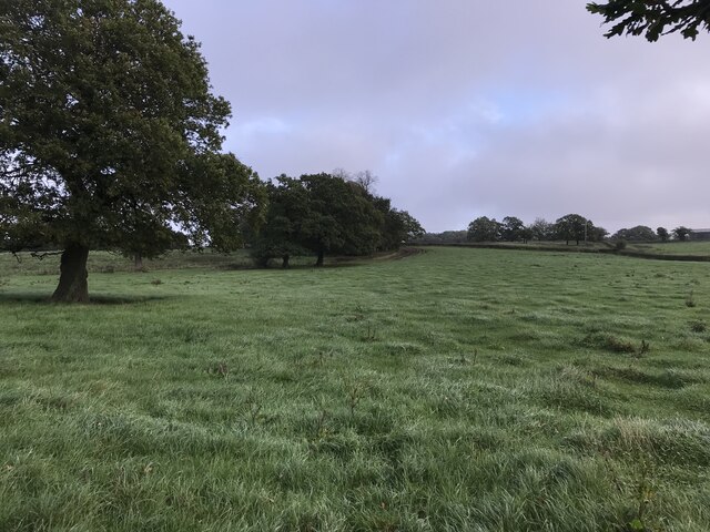
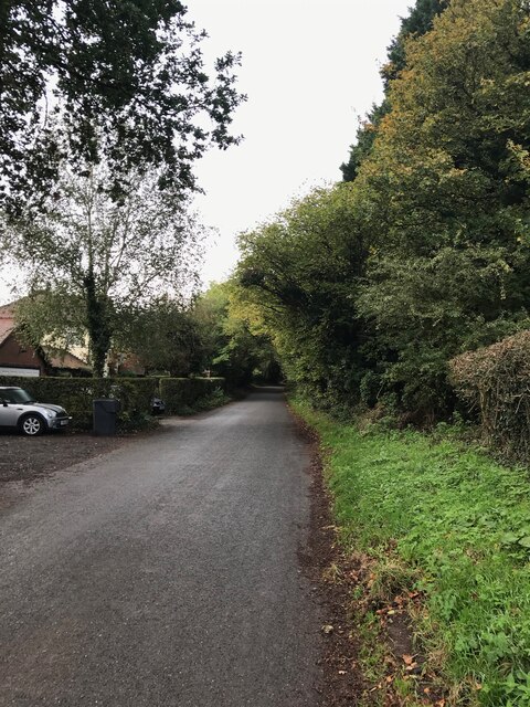
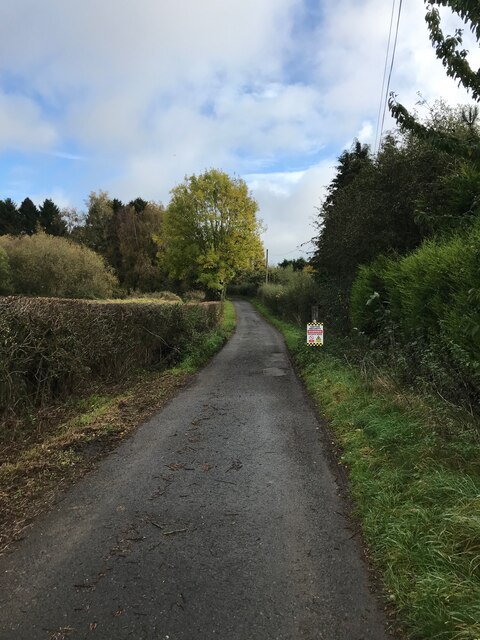
Hopwood is a small village located in Worcestershire, England. Situated approximately three miles south of Redditch, it lies within the Bromsgrove District. This rural community is surrounded by picturesque countryside, making it an ideal location for nature enthusiasts and those seeking a peaceful retreat.
The village itself is home to a tight-knit community, with a population of around 1,000 residents. It has a charming mix of architectural styles, ranging from traditional cottages to more modern houses. The heart of Hopwood is centered around the village green, which serves as a gathering place for locals and hosts various community events throughout the year.
Despite its small size, Hopwood offers a range of amenities for its residents. There is a primary school, providing education for children aged 4 to 11, as well as a village hall that serves as a hub for social activities and clubs. The nearby Redditch town provides additional services and facilities, including shopping centers, supermarkets, and healthcare facilities.
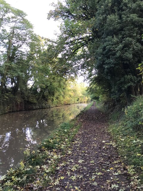
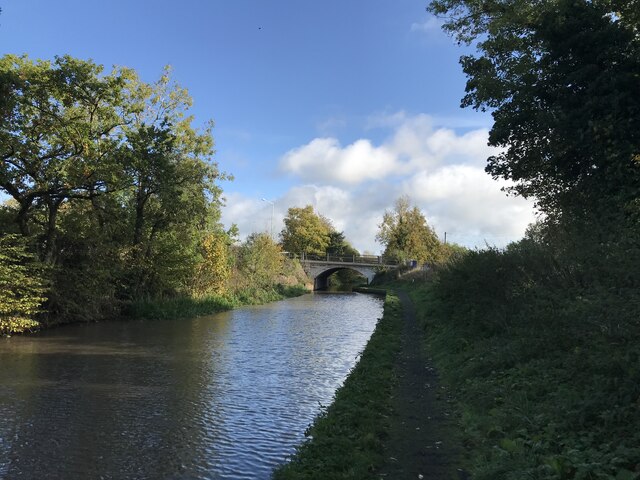
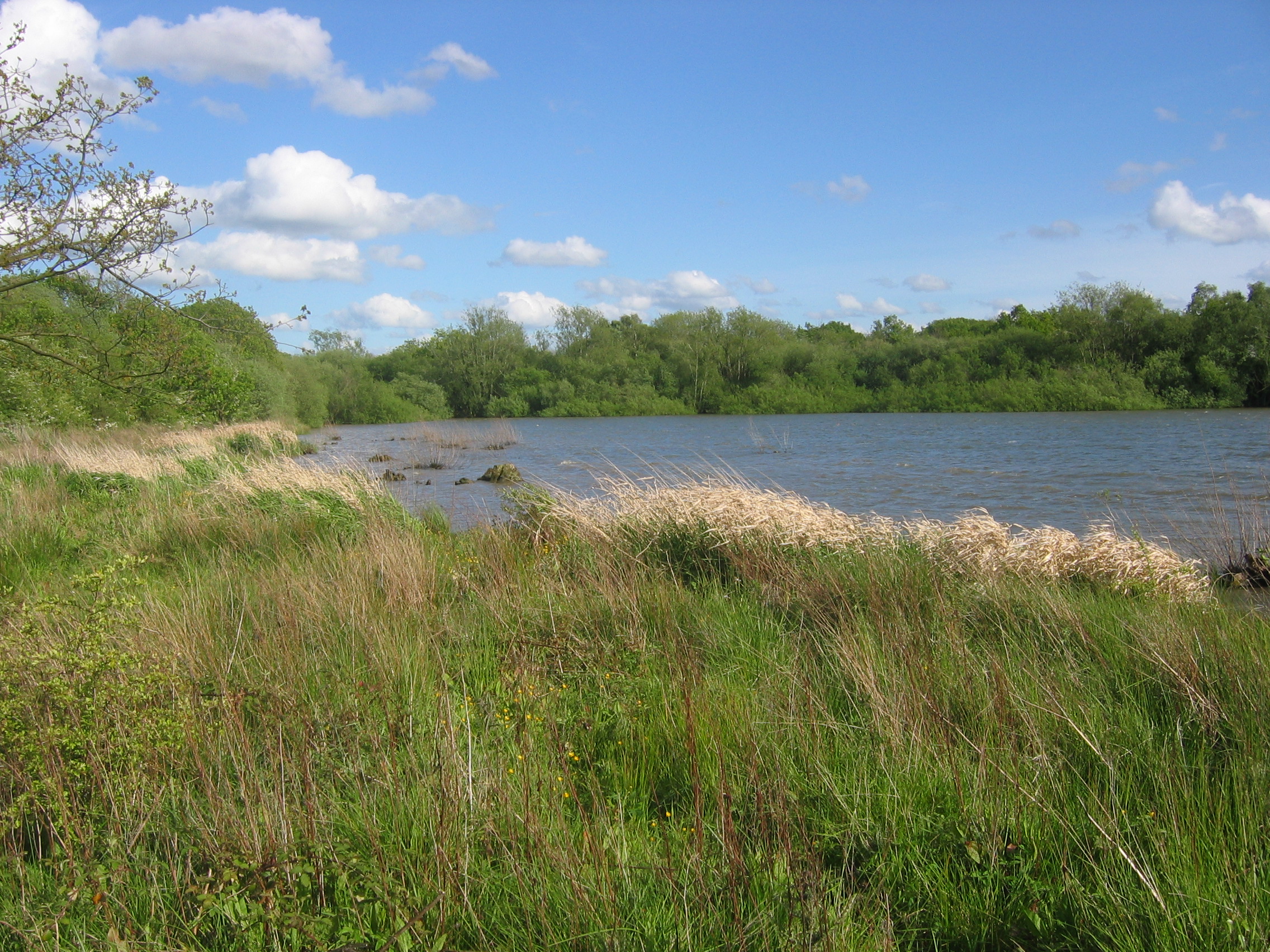
For outdoor enthusiasts, Hopwood boasts easy access to numerous walking and cycling routes. The surrounding countryside offers breathtaking views, with rolling hills and woodland areas to explore. Additionally, the nearby Arrow Valley Country Park provides opportunities for leisure activities such as fishing, boating, and picnicking.
Overall, Hopwood provides a tranquil and close-knit community, surrounded by beautiful landscapes. With its range of amenities and access to nature, it offers a desirable setting for those seeking a rural lifestyle within reach of urban conveniences.
If you have any feedback on the listing, please let us know in the comments section below.
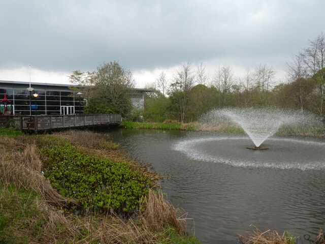
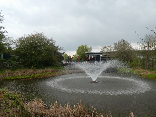
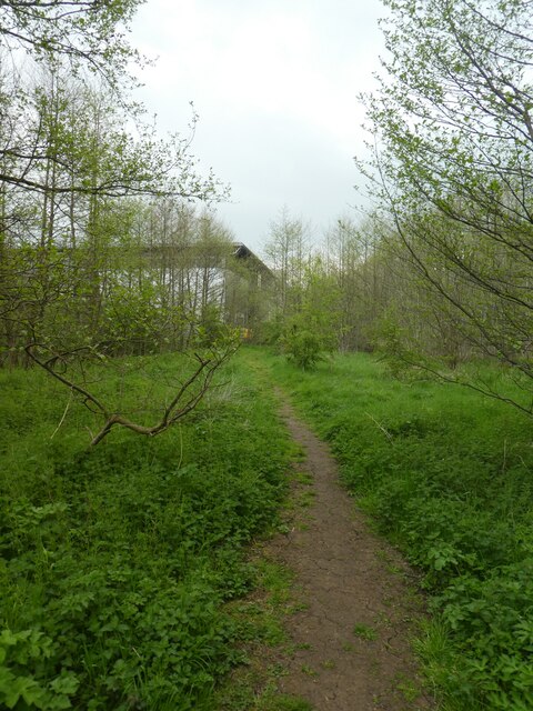
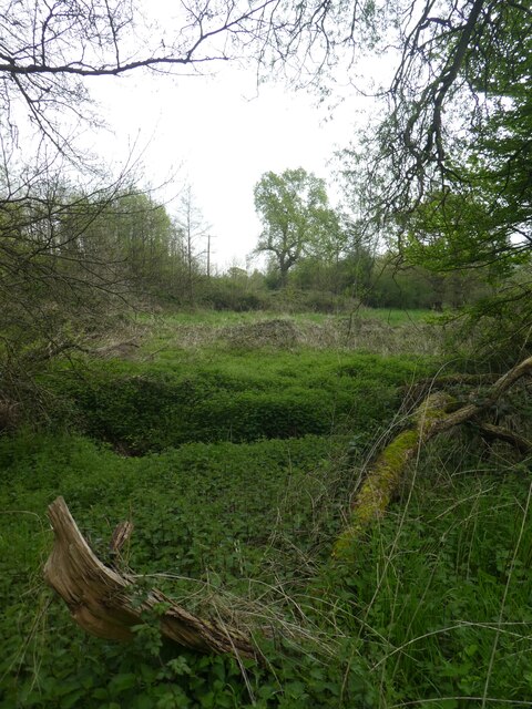
Hopwood Images
Images are sourced within 2km of 52.375881/-1.956633 or Grid Reference SP0375. Thanks to Geograph Open Source API. All images are credited.


Hopwood is located at Grid Ref: SP0375 (Lat: 52.375881, Lng: -1.956633)
Administrative County: Worcestershire
District: Bromsgrove
Police Authority: West Mercia
What 3 Words
///frock.chip.pages. Near Alvechurch, Worcestershire
Nearby Locations
Related Wikis

Hopwood, Worcestershire
Hopwood is a small settlement in Worcestershire, located south of Birmingham, England on the Worcester and Birmingham Canal. The settlement is developed...

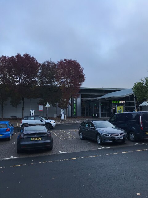
Hopwood Park services
Hopwood Park services is a motorway service station in Bromsgrove, Worcestershire, England situated off Junction 2 of the M42 motorway on the A441 road...
Bittell Reservoirs
The Bittell Reservoirs (grid reference SP017748) are located in Worcestershire between Barnt Green to the south and the Birmingham district of Longbridge...

Wast Hills Observatory
The Wast Hills Observatory was established in 1982 mainly as a teaching laboratory, as a part of the Physics with Astrophysics BSc/MSci degree course at...
Nearby Amenities
Located within 500m of 52.375881,-1.956633Have you been to Hopwood?
Leave your review of Hopwood below (or comments, questions and feedback).