Garden Wood

Wood, Forest in Northumberland

England

Garden Wood

Methodist Church, Wark
Methodist Church, Wark Credit: JThomas

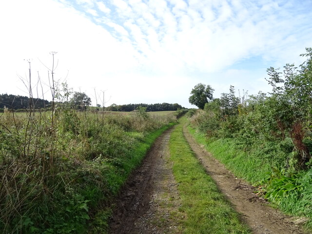
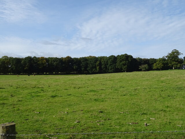
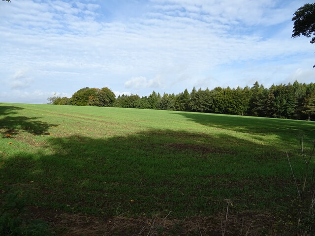
Garden Wood, located in Northumberland, is a picturesque forest area renowned for its natural beauty and diverse plant and animal life. Covering an expansive area, the wood is characterized by its dense woodland, tall trees, and flourishing undergrowth. It is a popular destination for nature enthusiasts and visitors seeking a tranquil escape from the hustle and bustle of daily life.

The wood is home to a wide variety of tree species, including oak, beech, ash, and birch, which provide a rich and vibrant canopy. The forest floor is adorned with an array of wildflowers, ferns, and mosses, creating a stunning tapestry of colors and textures. The wood is also inhabited by numerous species of wildlife, such as deer, foxes, badgers, and a diverse range of bird species, making it a haven for birdwatchers and animal lovers.

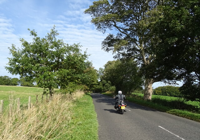
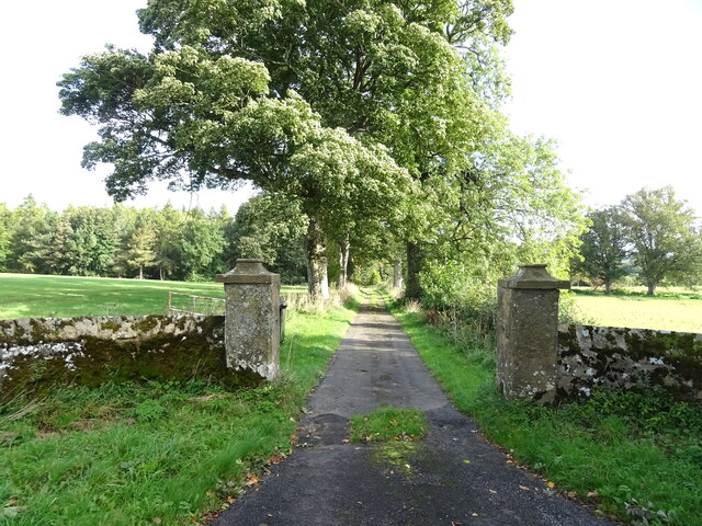
Garden Wood offers several walking trails and paths that meander through the forest, inviting visitors to explore its hidden corners and discover its natural wonders. The peaceful ambiance and breathtaking scenery make it an ideal location for nature photography, picnicking, or simply immersing oneself in the serene surroundings.

Managed by local conservation organizations, Garden Wood is committed to preserving its natural heritage and promoting sustainable practices. Visitors are encouraged to respect the environment and adhere to designated trails to minimize their impact on the delicate ecosystem.

Overall, Garden Wood in Northumberland is a captivating woodland retreat, offering an escape into nature's embrace and an opportunity to reconnect with the tranquility and beauty of the natural world.

If you have any feedback on the listing, please let us know in the comments section below.
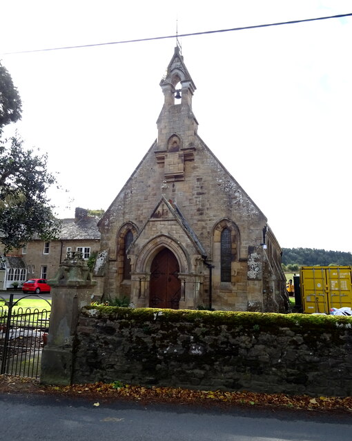
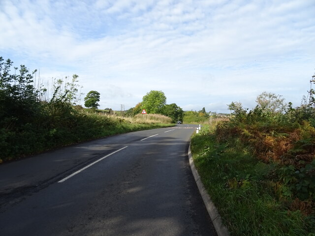
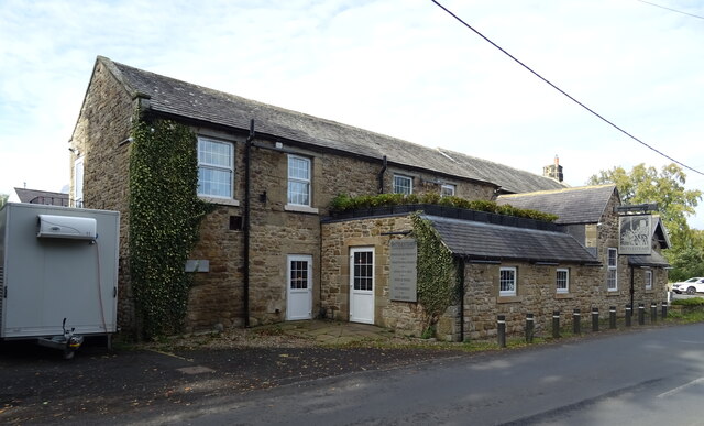
Garden Wood Images

Images are sourced within 2km of 55.078144/-2.2056056 or Grid Reference NY8675. Thanks to Geograph Open Source API. All images are credited.

Methodist Church, Wark
B6320 towards Wark
B6320 towards Wark
Farm track (footpath), Wark Footpath goes to Low Moralee.
Farm track (footpath), Wark
Footpath goes to Low Moralee.
Battlesteads Hotel and Restaurant, Wark On Hexham Road.
Battlesteads Hotel and Restaurant, Wark
On Hexham Road.
Sign for the Battlesteads Hotel and Restaurant, Wark
George VI postbox on Main Street, Wark On the Post Office.
Postbox No. NE48 79.

See <a href="https://www.geograph.org.uk/photo/7026684">NY8677 : Post Office, Newsagents and store on Main Street, Wark</a> for context.
George VI postbox on Main Street, Wark
On the Post Office. Postbox No. NE48 79. See NY8677 : Post Office, Newsagents and store on Main Street, Wark for context.
Post Office, Newsagents and store on Main Street, Wark Showing position of Postbox No. NE48 79.

See <a href="https://www.geograph.org.uk/photo/7026680">NY8677 : George VI postbox on Main Street, Wark</a> for postbox.
Post Office, Newsagents and store on Main Street, Wark
Showing position of Postbox No. NE48 79. See NY8677 : George VI postbox on Main Street, Wark for postbox.
The Grey Bull Inn on Main Street, Wark
Post Office, Newsagents and store on Main Street, Wark
Cottages on Main Street, Wark
The Black Bull Hotel & Restaurant on Main Street, Wark
Sign for the Black Bull Hotel & Restaurant on Main Street, Wark
Grazing towards Hornslaw Wood West of the B6320.
Grazing towards Hornslaw Wood
West of the B6320.
Heading towards Wark Biker on the B6320.
Heading towards Wark
Biker on the B6320.
Emerging crop and woodland Near Little Park End.
Emerging crop and woodland
Near Little Park End.
Track to Little Park End Off the B6320.
Track to Little Park End
Off the B6320.
Elizabeth II postbox on the B6320, Park End Postbox No. NE48 33.

See <a href="https://www.geograph.org.uk/photo/7027501">NY8775 : B6320, Park End</a> for context.
Elizabeth II postbox on the B6320, Park End
Postbox No. NE48 33. See NY8775 : B6320, Park End for context.
B6320, Park End Towards Wark.
Showing position of Postbox No. NE48 33.

See <a href="https://www.geograph.org.uk/photo/7027500">NY8775 : Elizabeth II postbox on the B6320, Park End</a> for postbox.
B6320, Park End
Towards Wark. Showing position of Postbox No. NE48 33. See NY8775 : Elizabeth II postbox on the B6320, Park End for postbox.
Show me another place!

Garden Wood is located at Grid Ref: NY8675 (Lat: 55.078144, Lng: -2.2056056)

Unitary Authority: Northumberland

Police Authority: Northumbria

What 3 Words

///sting.chilling.tributes. Near Birtley, Northumberland

Related Wikis

Wark railway station

Wark railway station is a disused railway station which served the village of Wark on Tyne, Northumberland, England. Located on the Border Counties Railway...

Wark in Tyndale Castle

Wark in Tyndale Castle was a medieval building in the English county of Northumberland (grid reference NY861768). It was first mentioned in 1399–1400,...
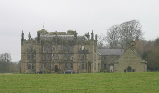
Chipchase Castle

Chipchase Castle is a 17th-century Jacobean mansion incorporating a substantial 14th-century pele tower, which stands north of Hadrian's Wall, near Wark...

Wark Town Hall

Wark Town Hall is a municipal building on The Green in Wark on Tyne, Northumberland, England. The building, which is used as a community events venue,...

Wark on Tyne

Wark on Tyne is a small village and civil parish in Northumberland, England, 12 miles (19 km) north of Hexham. == History == The name is derived from the...

Birtley, Northumberland

Birtley is a village in Northumberland, England southeast of Bellingham. It is about 10 miles (16 km) north of Hexham. == References == == External... ==

Nunwick Hall

Nunwick Hall is a privately owned 18th-century country house near Simonburn, Northumberland in North East England. The estate has been the home of the...

Simonburn

Simonburn is a small human settlement in Northumberland, England. == Early history == Simonburn lies to the north of Hadrian's Wall, the most noted Roman...

Nearby Amenities

Located within 500m of 55.078144,-2.2056056
Power: pole
Lat/Long: 55.0761745/-2.2117295
Power: pole
Lat/Long: 55.0763798/-2.2105867
Direction: SW
Generator Method: photovoltaic
Generator Output Electricity: yes
Generator Solar Modules: 11
Generator Source: solar
Generator Type: solar_photovoltaic_panel
Location: roof
Power: generator
Lat/Long: 55.076732/-2.2098988
Direction: SW
Generator Method: photovoltaic
Generator Output Electricity: yes
Generator Solar Modules: 11
Generator Source: solar
Generator Type: solar_photovoltaic_panel
Location: roof
Power: generator
Lat/Long: 55.0767493/-2.2099314
Direction: SW
Generator Method: photovoltaic
Generator Output Electricity: yes
Generator Solar Modules: 11
Generator Source: solar
Generator Type: solar_photovoltaic_panel
Location: roof
Power: generator
Lat/Long: 55.0767666/-2.2099639
Direction: SW
Generator Method: photovoltaic
Generator Output Electricity: yes
Generator Solar Modules: 11
Generator Source: solar
Generator Type: solar_photovoltaic_panel
Location: roof
Power: generator
Lat/Long: 55.0767839/-2.2099965
Direction: SW
Generator Method: photovoltaic
Generator Output Electricity: yes
Generator Solar Modules: 11
Generator Source: solar
Generator Type: solar_photovoltaic_panel
Location: roof
Power: generator
Lat/Long: 55.0768012/-2.2100291
Direction: SW
Generator Method: photovoltaic
Generator Output Electricity: yes
Generator Solar Modules: 11
Generator Source: solar
Generator Type: solar_photovoltaic_panel
Location: roof
Power: generator
Lat/Long: 55.0768185/-2.2100616
Direction: SW
Generator Method: photovoltaic
Generator Output Electricity: yes
Generator Solar Modules: 11
Generator Source: solar
Generator Type: solar_photovoltaic_panel
Location: roof
Power: generator
Lat/Long: 55.0768359/-2.2100942
Direction: SW
Generator Method: photovoltaic
Generator Output Electricity: yes
Generator Solar Modules: 11
Generator Source: solar
Generator Type: solar_photovoltaic_panel
Location: roof
Power: generator
Lat/Long: 55.0768532/-2.2101267
Direction: SW
Generator Method: photovoltaic
Generator Output Electricity: yes
Generator Solar Modules: 11
Generator Source: solar
Generator Type: solar_photovoltaic_panel
Location: roof
Power: generator
Lat/Long: 55.0768705/-2.2101593
Direction: SW
Generator Method: photovoltaic
Generator Output Electricity: yes
Generator Solar Modules: 11
Generator Source: solar
Generator Type: solar_photovoltaic_panel
Location: roof
Power: generator
Lat/Long: 55.0768878/-2.2101919
The data included in this document is from www.openstreetmap.org. The data is made available under ODbL.

Have you been to Garden Wood?

Leave your review of Garden Wood below (or comments, questions and feedback).