Kilnpits Plantation
Wood, Forest in Staffordshire Stafford
England
Kilnpits Plantation
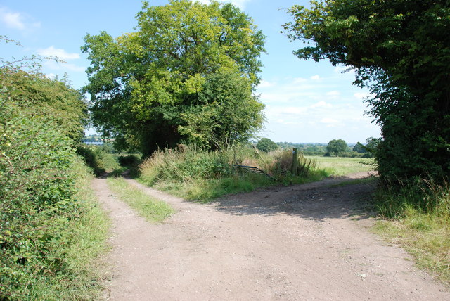
Kilnpits Plantation, located in Staffordshire, is a picturesque woodland area known for its dense and diverse forest cover. Spanning over a vast expanse of land, this plantation offers a tranquil escape for nature enthusiasts and hikers alike.
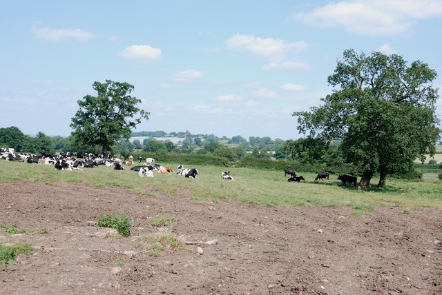
The woodland is primarily composed of native tree species, including oak, birch, and beech, which create a rich and vibrant canopy overhead. This thriving ecosystem supports a wide variety of wildlife, including birds, deer, and numerous species of insects. Birdwatchers are particularly drawn to Kilnpits Plantation due to the abundance of bird species that call this woodland home.
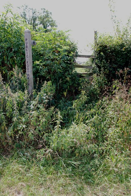
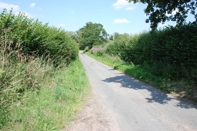
Walking trails wind their way through the plantation, allowing visitors to explore its natural beauty at their own pace. These trails are well-maintained and offer both gentle strolls and more challenging hikes for those seeking adventure. Along the way, hikers can enjoy the tranquil ambiance, breathe in the fresh air, and admire the stunning vistas that unfold at every turn.
Kilnpits Plantation also holds historical significance, as remnants of an old kiln can still be found within its boundaries. This kiln, used for firing pottery in the past, adds an interesting element to the woodland's charm and provides a glimpse into its past.
Overall, Kilnpits Plantation in Staffordshire is a haven for nature lovers, offering a diverse and captivating woodland experience. Whether visitors are seeking a peaceful walk, a chance to observe wildlife, or a glimpse into local history, this plantation provides an ideal setting to immerse oneself in the beauty of nature.
If you have any feedback on the listing, please let us know in the comments section below.
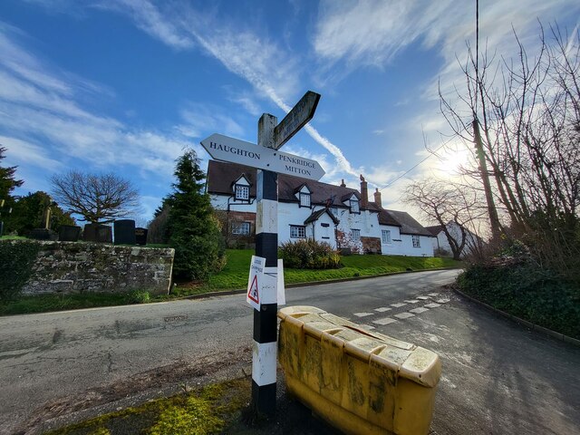
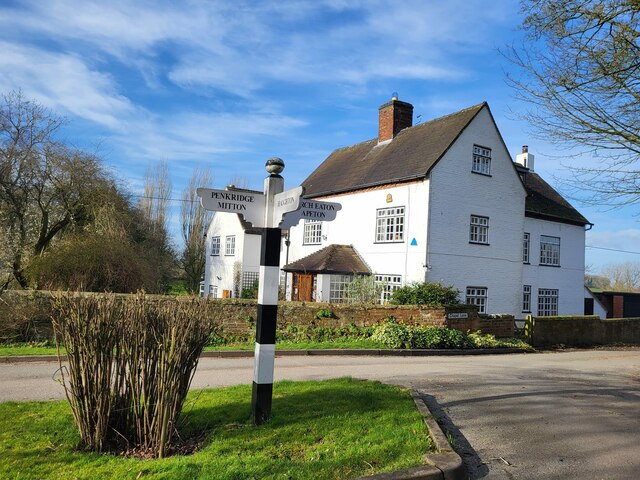
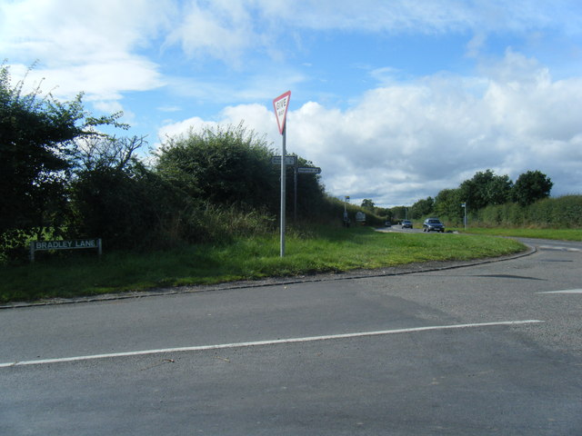
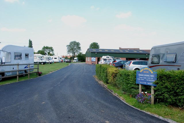
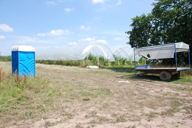
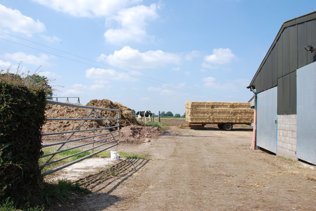
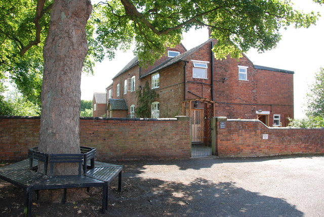
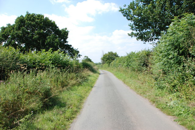
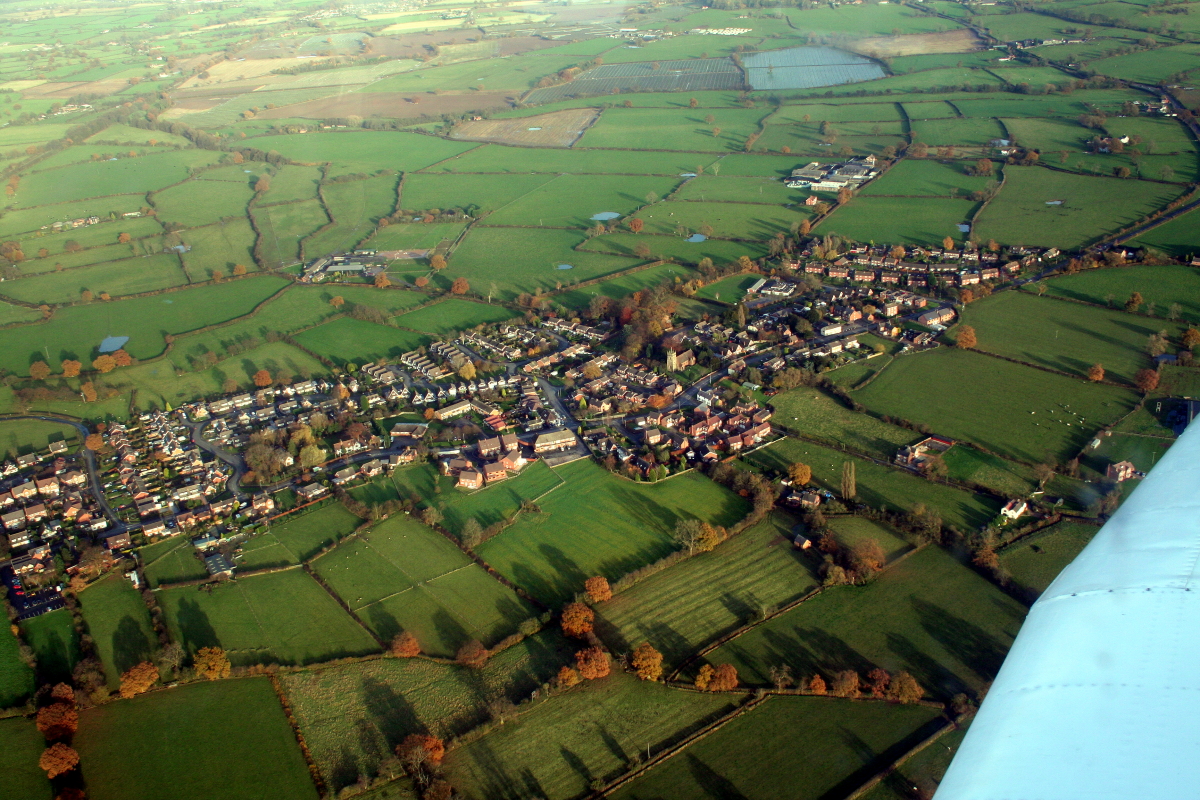
Kilnpits Plantation Images
Images are sourced within 2km of 52.761712/-2.1945006 or Grid Reference SJ8618. Thanks to Geograph Open Source API. All images are credited.
Kilnpits Plantation is located at Grid Ref: SJ8618 (Lat: 52.761712, Lng: -2.1945006)
Administrative County: Staffordshire
District: Stafford
Police Authority: Staffordshire
What 3 Words
///toddler.sketching.second. Near Gnosall, Staffordshire
Nearby Locations
Related Wikis

Bradley, Staffordshire
Bradley is a village and civil parish in Staffordshire, England. The population of the civil parish at the 2011 census was 513. It is located close to...

Allimore Green
Allimore Green is a small hamlet in Staffordshire, England, 1 mile north-east of Church Eaton. It is the location of a Site of Special Scientific Interest...

Apeton
Apeton is a hamlet in Staffordshire in the West Midlands region of England. It is located 5+1⁄2 miles (8.9 km) southwest of Stafford, in the civil parish...

Church Eaton
Church Eaton is a village and civil parish in Staffordshire some 6 miles (10 km) southwest of Stafford, 6 miles (10 km) northwest of Penkridge and 4 miles...

Brazenhill
Brazenhill is rural area immediately north of the village of Haughton in Staffordshire, England. It is effectively defined by Brazenhill Lane which is...
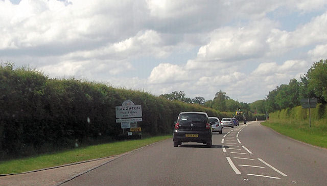
Haughton, Staffordshire
Haughton is a village in Staffordshire, England, approximately 4 miles outside and to the west of the county town of Stafford. It lies on the A518 between...

Haughton railway station
Haughton railway station was a station in Haughton, Staffordshire, England. The station was opened on 1 June 1849 and closed in May 1949. == References... ==

Berry Ring
Berry Ring (also known as Bury Ring) is an Iron Age hillfort in Staffordshire, England, lying some two miles southwest of the county town of Stafford,...
Nearby Amenities
Located within 500m of 52.761712,-2.1945006Have you been to Kilnpits Plantation?
Leave your review of Kilnpits Plantation below (or comments, questions and feedback).