Lyndhurst Wood

Wood, Forest in Northumberland

England

Lyndhurst Wood

Methodist Church, Wark
Methodist Church, Wark Credit: JThomas

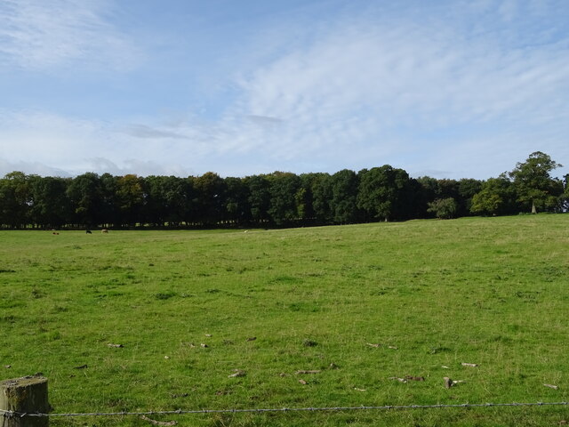
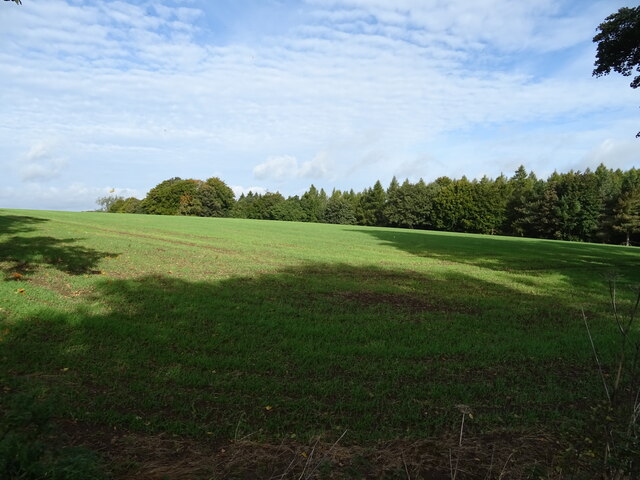
Lyndhurst Wood is a picturesque forest located in the county of Northumberland, England. Spread across an area of approximately 50 acres, it is a captivating natural haven that offers a tranquil escape from the hustle and bustle of everyday life.

The wood is primarily composed of deciduous trees such as oak, beech, and birch, which create a stunning canopy of vibrant colors during the autumn season. It is also home to a diverse range of flora and fauna, including bluebells, wild garlic, and various species of birds and butterflies.

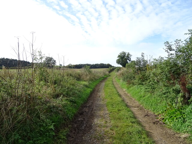
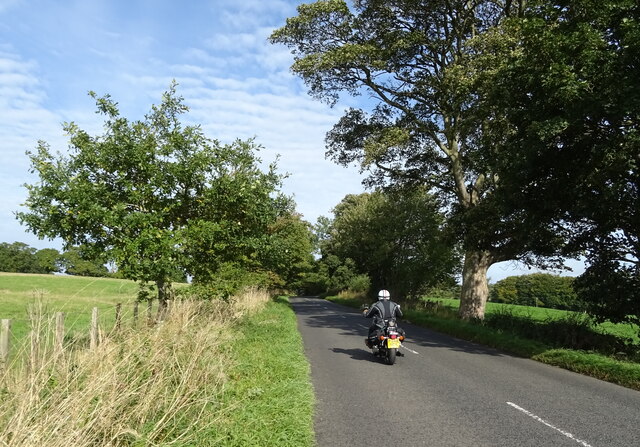
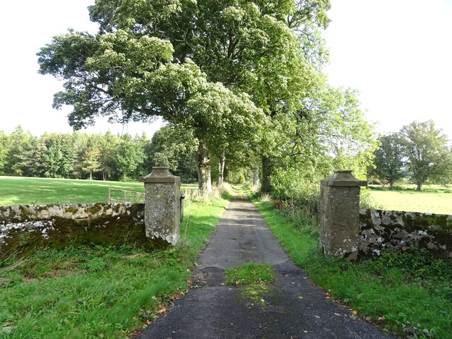
The wood features a network of well-maintained footpaths that allow visitors to explore its enchanting beauty at their own pace. These paths wind through towering trees, over babbling brooks, and past charming clearings, providing a sense of serenity and seclusion.

Nature enthusiasts are often drawn to Lyndhurst Wood due to its abundance of wildlife. Red squirrels can often be spotted scurrying through the branches, while deer can occasionally be glimpsed grazing in the meadows. Birdwatchers can delight in sightings of woodpeckers, buzzards, and other feathered inhabitants.

The wood is easily accessible, with a car park located nearby for convenience. Visitors can enjoy a leisurely stroll, a family picnic, or simply sit and absorb the tranquil ambiance. Lyndhurst Wood is a true gem of Northumberland, offering a natural retreat that allows individuals to reconnect with the beauty of the natural world.

If you have any feedback on the listing, please let us know in the comments section below.

Lyndhurst Wood Images

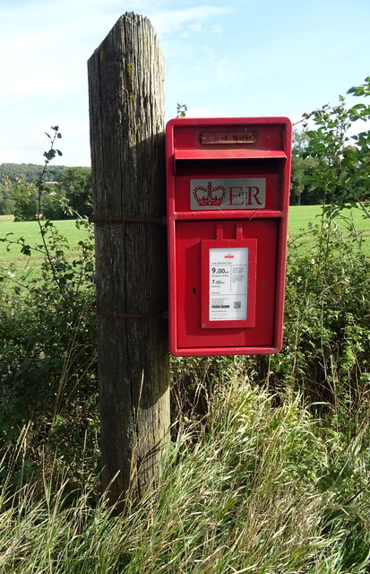
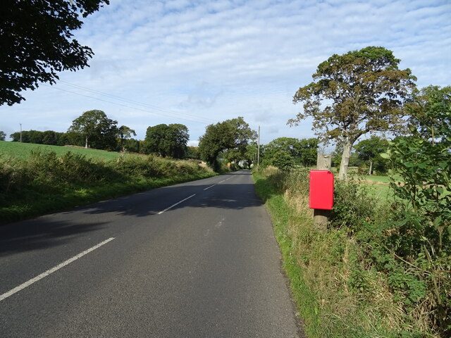
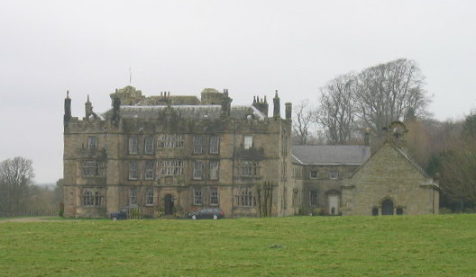
Images are sourced within 2km of 55.073669/-2.2160755 or Grid Reference NY8675. Thanks to Geograph Open Source API. All images are credited.

Methodist Church, Wark
B6320 towards Wark
B6320 towards Wark
Farm track (footpath), Wark Footpath goes to Low Moralee.
Farm track (footpath), Wark
Footpath goes to Low Moralee.
Battlesteads Hotel and Restaurant, Wark On Hexham Road.
Battlesteads Hotel and Restaurant, Wark
On Hexham Road.
Sign for the Battlesteads Hotel and Restaurant, Wark
George VI postbox on Main Street, Wark On the Post Office.
Postbox No. NE48 79.

See <a href="https://www.geograph.org.uk/photo/7026684">NY8677 : Post Office, Newsagents and store on Main Street, Wark</a> for context.
George VI postbox on Main Street, Wark
On the Post Office. Postbox No. NE48 79. See NY8677 : Post Office, Newsagents and store on Main Street, Wark for context.
Post Office, Newsagents and store on Main Street, Wark Showing position of Postbox No. NE48 79.

See <a href="https://www.geograph.org.uk/photo/7026680">NY8677 : George VI postbox on Main Street, Wark</a> for postbox.
Post Office, Newsagents and store on Main Street, Wark
Showing position of Postbox No. NE48 79. See NY8677 : George VI postbox on Main Street, Wark for postbox.
The Grey Bull Inn on Main Street, Wark
Post Office, Newsagents and store on Main Street, Wark
Cottages on Main Street, Wark
The Black Bull Hotel & Restaurant on Main Street, Wark
Sign for the Black Bull Hotel & Restaurant on Main Street, Wark
Grazing towards Hornslaw Wood West of the B6320.
Grazing towards Hornslaw Wood
West of the B6320.
Heading towards Wark Biker on the B6320.
Heading towards Wark
Biker on the B6320.
Emerging crop and woodland Near Little Park End.
Emerging crop and woodland
Near Little Park End.
Track to Little Park End Off the B6320.
Track to Little Park End
Off the B6320.
Elizabeth II postbox on the B6320, Park End Postbox No. NE48 33.

See <a href="https://www.geograph.org.uk/photo/7027501">NY8775 : B6320, Park End</a> for context.
Elizabeth II postbox on the B6320, Park End
Postbox No. NE48 33. See NY8775 : B6320, Park End for context.
B6320, Park End Towards Wark.
Showing position of Postbox No. NE48 33.

See <a href="https://www.geograph.org.uk/photo/7027500">NY8775 : Elizabeth II postbox on the B6320, Park End</a> for postbox.
B6320, Park End
Towards Wark. Showing position of Postbox No. NE48 33. See NY8775 : Elizabeth II postbox on the B6320, Park End for postbox.
Show me another place!

Lyndhurst Wood is located at Grid Ref: NY8675 (Lat: 55.073669, Lng: -2.2160755)

Unitary Authority: Northumberland

Police Authority: Northumbria

What 3 Words

///chest.dumplings.inclines. Near Birtley, Northumberland

Related Wikis

Wark in Tyndale Castle

Wark in Tyndale Castle was a medieval building in the English county of Northumberland (grid reference NY861768). It was first mentioned in 1399–1400,...

Wark Town Hall

Wark Town Hall is a municipal building on The Green in Wark on Tyne, Northumberland, England. The building, which is used as a community events venue,...

Wark railway station

Wark railway station is a disused railway station which served the village of Wark on Tyne, Northumberland, England. Located on the Border Counties Railway...

Chipchase Castle

Chipchase Castle is a 17th-century Jacobean mansion incorporating a substantial 14th-century pele tower, which stands north of Hadrian's Wall, near Wark...

Nearby Amenities

Located within 500m of 55.073669,-2.2160755
Power: pole
Lat/Long: 55.0722723/-2.2086821
Power: pole
Lat/Long: 55.0728629/-2.2095694
Power: pole
Lat/Long: 55.0734391/-2.2104535
Power: pole
Lat/Long: 55.0740081/-2.2113439
Power: pole
Lat/Long: 55.0750186/-2.2152032
Power: pole
Lat/Long: 55.0751532/-2.2138175
Power: pole
Lat/Long: 55.0752609/-2.2125854
Power: pole
Lat/Long: 55.0759519/-2.2129365
Power: pole
Lat/Long: 55.0761745/-2.2117295
Power: pole
Lat/Long: 55.0767004/-2.2132845
Power: pole
Lat/Long: 55.0773788/-2.2136388
Power: pole
Lat/Long: 55.0779531/-2.213946
Power: pole
Lat/Long: 55.0749034/-2.2165278
Power: pole
Lat/Long: 55.0763798/-2.2105867
Barrier: stile
Bicycle: no
Foot: yes
Horse: no
Motor Vehicle: no
Lat/Long: 55.0758302/-2.2182196
The data included in this document is from www.openstreetmap.org. The data is made available under ODbL.

Have you been to Lyndhurst Wood?

Leave your review of Lyndhurst Wood below (or comments, questions and feedback).