Sandybank Wood

Wood, Forest in Northumberland

England

Sandybank Wood

Methodist Church, Wark
Methodist Church, Wark Credit: JThomas

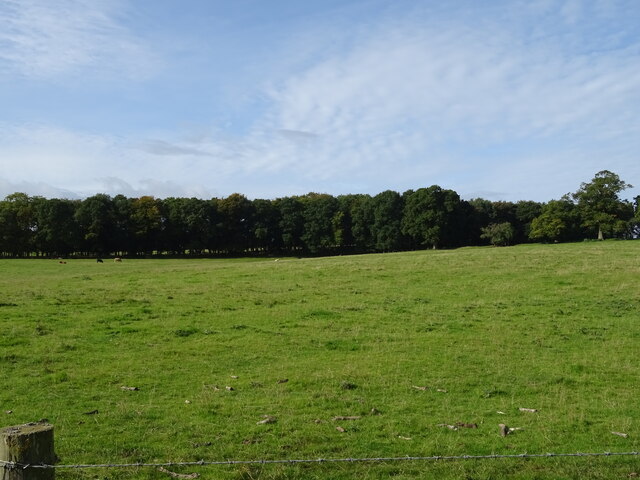
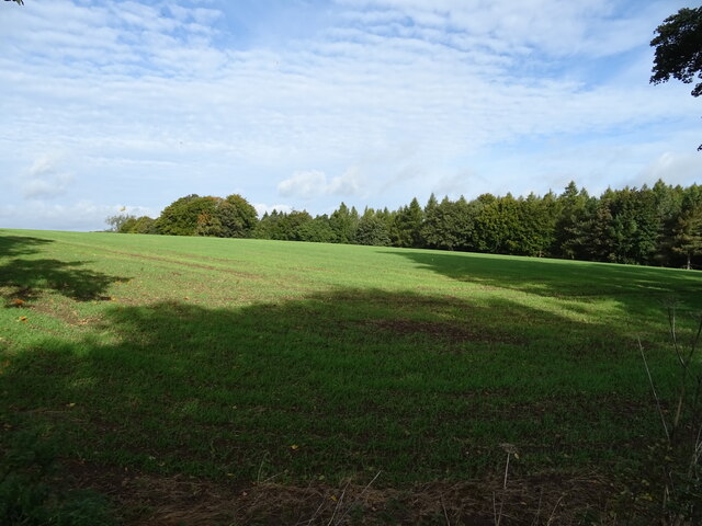
Sandybank Wood is a picturesque forest located in Northumberland, England. Spanning over a vast area, it is nestled amidst the stunning countryside and offers a tranquil retreat for nature enthusiasts and outdoor adventurers alike.

The wood is primarily composed of a mix of deciduous and evergreen trees, creating a diverse and vibrant ecosystem. Towering oak, beech, and pine trees dominate the landscape, providing a dense canopy that offers shade and shelter to a variety of wildlife species. The forest floor is adorned with an array of wildflowers and ferns, enhancing the beauty of the wood.

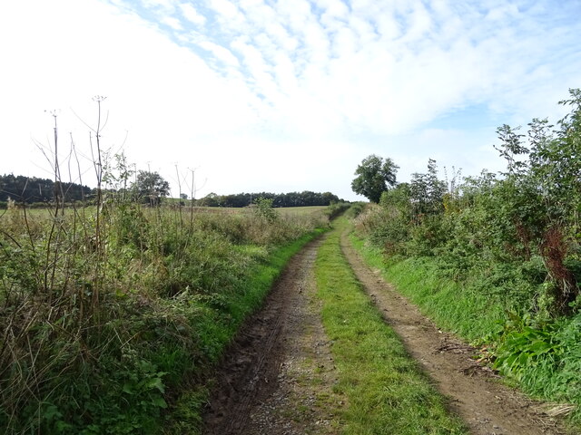
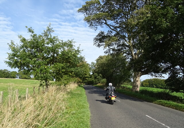
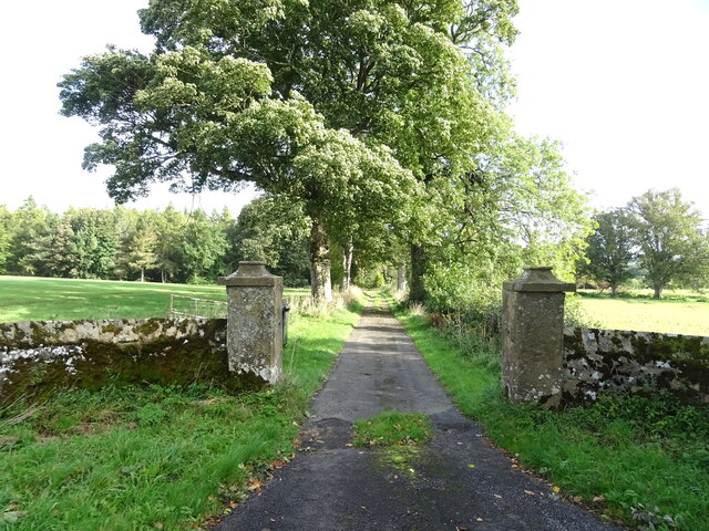
Sandybank Wood boasts a network of well-maintained walking trails, allowing visitors to explore its enchanting surroundings. These trails cater to different abilities, ranging from easy strolls to more challenging hikes, ensuring there is something for everyone. Along the paths, nature enthusiasts can spot a multitude of wildlife, including deer, squirrels, and various species of birds.

The wood offers a wealth of recreational activities, making it a popular destination for families and outdoor enthusiasts. Picnic spots are scattered throughout the forest, providing a perfect opportunity to enjoy a meal amidst the natural beauty. Additionally, there are designated areas for camping and barbecues, allowing visitors to immerse themselves in the great outdoors.

Sandybank Wood truly captures the essence of Northumberland's natural splendor. With its stunning scenery, diverse wildlife, and range of recreational activities, it is a must-visit destination for those seeking a peaceful escape in the heart of nature.

If you have any feedback on the listing, please let us know in the comments section below.

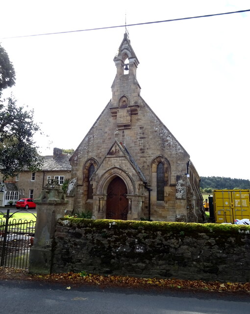
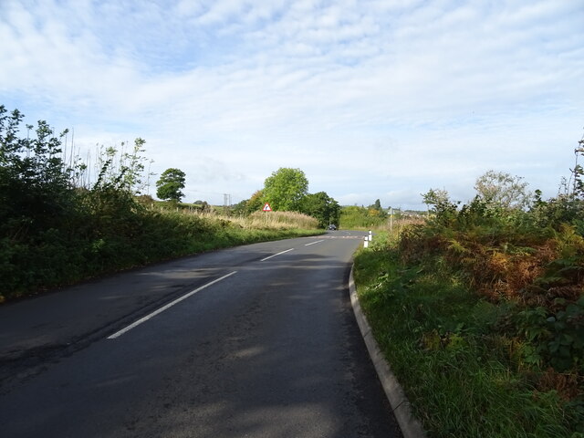
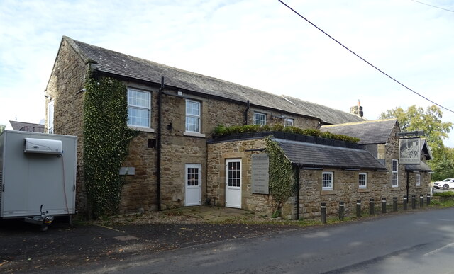
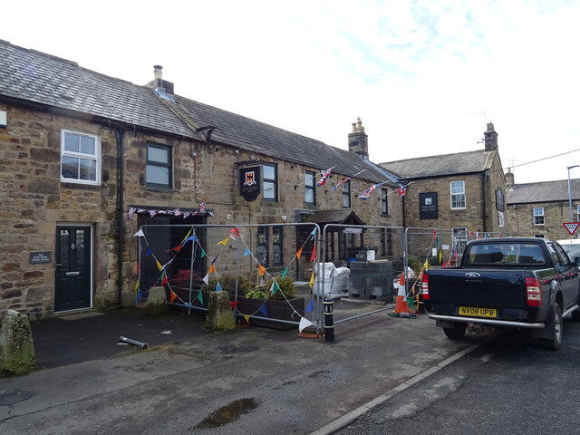
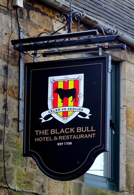
Sandybank Wood Images

Images are sourced within 2km of 55.075503/-2.2100086 or Grid Reference NY8675. Thanks to Geograph Open Source API. All images are credited.

Methodist Church, Wark
B6320 towards Wark
B6320 towards Wark
Farm track (footpath), Wark Footpath goes to Low Moralee.
Farm track (footpath), Wark
Footpath goes to Low Moralee.
Battlesteads Hotel and Restaurant, Wark On Hexham Road.
Battlesteads Hotel and Restaurant, Wark
On Hexham Road.
Sign for the Battlesteads Hotel and Restaurant, Wark
George VI postbox on Main Street, Wark On the Post Office.
Postbox No. NE48 79.

See <a href="https://www.geograph.org.uk/photo/7026684">NY8677 : Post Office, Newsagents and store on Main Street, Wark</a> for context.
George VI postbox on Main Street, Wark
On the Post Office. Postbox No. NE48 79. See NY8677 : Post Office, Newsagents and store on Main Street, Wark for context.
Post Office, Newsagents and store on Main Street, Wark Showing position of Postbox No. NE48 79.

See <a href="https://www.geograph.org.uk/photo/7026680">NY8677 : George VI postbox on Main Street, Wark</a> for postbox.
Post Office, Newsagents and store on Main Street, Wark
Showing position of Postbox No. NE48 79. See NY8677 : George VI postbox on Main Street, Wark for postbox.
The Grey Bull Inn on Main Street, Wark
Post Office, Newsagents and store on Main Street, Wark
Cottages on Main Street, Wark
The Black Bull Hotel & Restaurant on Main Street, Wark
Sign for the Black Bull Hotel & Restaurant on Main Street, Wark
Grazing towards Hornslaw Wood West of the B6320.
Grazing towards Hornslaw Wood
West of the B6320.
Heading towards Wark Biker on the B6320.
Heading towards Wark
Biker on the B6320.
Emerging crop and woodland Near Little Park End.
Emerging crop and woodland
Near Little Park End.
Track to Little Park End Off the B6320.
Track to Little Park End
Off the B6320.
Elizabeth II postbox on the B6320, Park End Postbox No. NE48 33.

See <a href="https://www.geograph.org.uk/photo/7027501">NY8775 : B6320, Park End</a> for context.
Elizabeth II postbox on the B6320, Park End
Postbox No. NE48 33. See NY8775 : B6320, Park End for context.
B6320, Park End Towards Wark.
Showing position of Postbox No. NE48 33.

See <a href="https://www.geograph.org.uk/photo/7027500">NY8775 : Elizabeth II postbox on the B6320, Park End</a> for postbox.
B6320, Park End
Towards Wark. Showing position of Postbox No. NE48 33. See NY8775 : Elizabeth II postbox on the B6320, Park End for postbox.
Show me another place!

Sandybank Wood is located at Grid Ref: NY8675 (Lat: 55.075503, Lng: -2.2100086)

Unitary Authority: Northumberland

Police Authority: Northumbria

What 3 Words

///relishes.thighs.crinkled. Near Birtley, Northumberland

Related Wikis

Wark railway station

Wark railway station is a disused railway station which served the village of Wark on Tyne, Northumberland, England. Located on the Border Counties Railway...

Wark in Tyndale Castle

Wark in Tyndale Castle was a medieval building in the English county of Northumberland (grid reference NY861768). It was first mentioned in 1399–1400,...

Wark Town Hall

Wark Town Hall is a municipal building on The Green in Wark on Tyne, Northumberland, England. The building, which is used as a community events venue,...
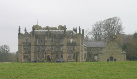
Chipchase Castle

Chipchase Castle is a 17th-century Jacobean mansion incorporating a substantial 14th-century pele tower, which stands north of Hadrian's Wall, near Wark...

Nearby Amenities

Located within 500m of 55.075503,-2.2100086
Power: pole
Lat/Long: 55.0717177/-2.2077792
Power: pole
Lat/Long: 55.0722723/-2.2086821
Power: pole
Lat/Long: 55.0728629/-2.2095694
Power: pole
Lat/Long: 55.0734391/-2.2104535
Power: pole
Lat/Long: 55.0740081/-2.2113439
Power: pole
Lat/Long: 55.0750186/-2.2152032
Power: pole
Lat/Long: 55.0751532/-2.2138175
Power: pole
Lat/Long: 55.0752609/-2.2125854
Power: pole
Lat/Long: 55.0759519/-2.2129365
Power: pole
Lat/Long: 55.0761745/-2.2117295
Power: pole
Lat/Long: 55.0767004/-2.2132845
Power: pole
Lat/Long: 55.0773788/-2.2136388
Power: pole
Lat/Long: 55.0779531/-2.213946
Power: pole
Lat/Long: 55.0785634/-2.2142408
Post Box
Check Date: 2021-11-13
Collection Times: Mo-Fr 16:30; Sa 10:45
Operator: Royal Mail
Post Box Type: lamp
Ref: NE48 33
Royal Cypher: EIIR
Royal Cypher Wikidata: Q33102113
Source: survey
Lat/Long: 55.0734616/-2.2035696
Power: pole
Lat/Long: 55.0749034/-2.2165278
Power: pole
Lat/Long: 55.0763798/-2.2105867
Power: pole
Lat/Long: 55.0786623/-2.2152511
Direction: SW
Generator Method: photovoltaic
Generator Output Electricity: yes
Generator Solar Modules: 11
Generator Source: solar
Generator Type: solar_photovoltaic_panel
Location: roof
Power: generator
Lat/Long: 55.076732/-2.2098988
Direction: SW
Generator Method: photovoltaic
Generator Output Electricity: yes
Generator Solar Modules: 11
Generator Source: solar
Generator Type: solar_photovoltaic_panel
Location: roof
Power: generator
Lat/Long: 55.0767493/-2.2099314
Direction: SW
Generator Method: photovoltaic
Generator Output Electricity: yes
Generator Solar Modules: 11
Generator Source: solar
Generator Type: solar_photovoltaic_panel
Location: roof
Power: generator
Lat/Long: 55.0767666/-2.2099639
Direction: SW
Generator Method: photovoltaic
Generator Output Electricity: yes
Generator Solar Modules: 11
Generator Source: solar
Generator Type: solar_photovoltaic_panel
Location: roof
Power: generator
Lat/Long: 55.0767839/-2.2099965
Direction: SW
Generator Method: photovoltaic
Generator Output Electricity: yes
Generator Solar Modules: 11
Generator Source: solar
Generator Type: solar_photovoltaic_panel
Location: roof
Power: generator
Lat/Long: 55.0768012/-2.2100291
Direction: SW
Generator Method: photovoltaic
Generator Output Electricity: yes
Generator Solar Modules: 11
Generator Source: solar
Generator Type: solar_photovoltaic_panel
Location: roof
Power: generator
Lat/Long: 55.0768185/-2.2100616
Direction: SW
Generator Method: photovoltaic
Generator Output Electricity: yes
Generator Solar Modules: 11
Generator Source: solar
Generator Type: solar_photovoltaic_panel
Location: roof
Power: generator
Lat/Long: 55.0768359/-2.2100942
Direction: SW
Generator Method: photovoltaic
Generator Output Electricity: yes
Generator Solar Modules: 11
Generator Source: solar
Generator Type: solar_photovoltaic_panel
Location: roof
Power: generator
Lat/Long: 55.0768532/-2.2101267
Direction: SW
Generator Method: photovoltaic
Generator Output Electricity: yes
Generator Solar Modules: 11
Generator Source: solar
Generator Type: solar_photovoltaic_panel
Location: roof
Power: generator
Lat/Long: 55.0768705/-2.2101593
Direction: SW
Generator Method: photovoltaic
Generator Output Electricity: yes
Generator Solar Modules: 11
Generator Source: solar
Generator Type: solar_photovoltaic_panel
Location: roof
Power: generator
Lat/Long: 55.0768878/-2.2101919
The data included in this document is from www.openstreetmap.org. The data is made available under ODbL.

Have you been to Sandybank Wood?

Leave your review of Sandybank Wood below (or comments, questions and feedback).