Gofton Wood

Wood, Forest in Northumberland

England

Gofton Wood

Methodist Church, Wark
Methodist Church, Wark Credit: JThomas

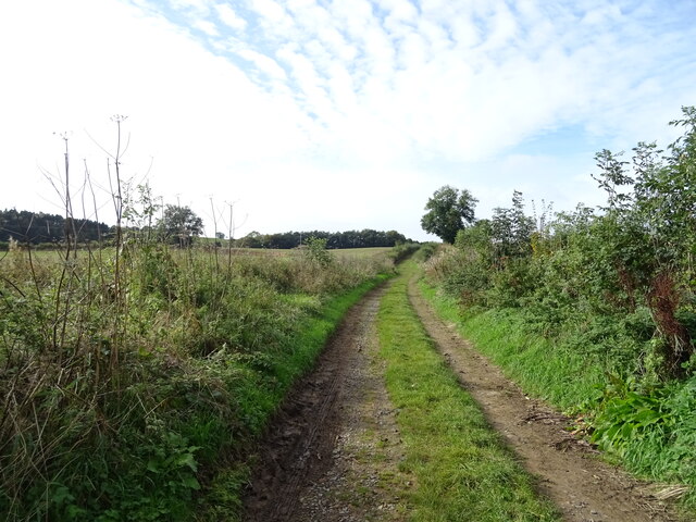
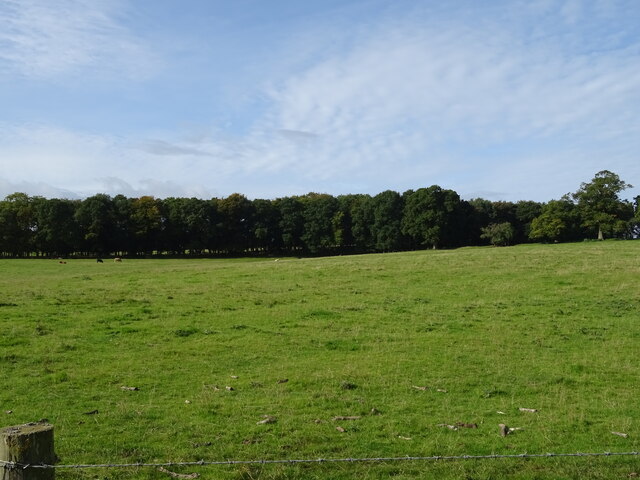
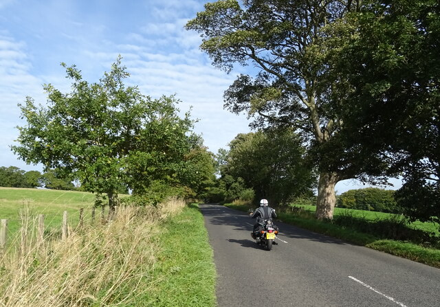
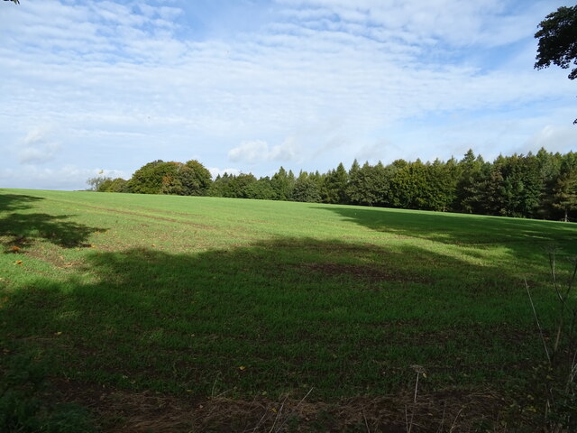
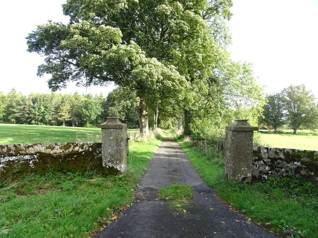
Gofton Wood is a picturesque forest located in the county of Northumberland, England. Covering an area of approximately 500 hectares, it is a popular destination for nature lovers and outdoor enthusiasts. The wood is situated near the village of Corbridge and is easily accessible from the nearby A69 road.

The forest is predominantly made up of broadleaf trees such as oak, birch, and ash, creating a diverse and vibrant woodland ecosystem. These trees provide a rich habitat for a variety of wildlife, including deer, badgers, and a wide range of bird species. Visitors to Gofton Wood may catch a glimpse of these creatures while exploring the well-maintained walking trails that wind through the forest.

One of the highlights of Gofton Wood is its ancient woodland area, which features trees that are hundreds of years old. This part of the forest is particularly enchanting, with moss-covered tree trunks and a tranquil atmosphere that transports visitors back in time.

In addition to its natural beauty, Gofton Wood also boasts a number of amenities for visitors. There is a car park at the entrance, as well as picnic areas where visitors can relax and enjoy the surroundings. The forest is also home to a visitor center, providing information on the flora, fauna, and history of the wood.

Whether it's a leisurely stroll through the ancient woodland or a more adventurous hike along the forest trails, Gofton Wood offers a peaceful and captivating experience for all who visit.

If you have any feedback on the listing, please let us know in the comments section below.
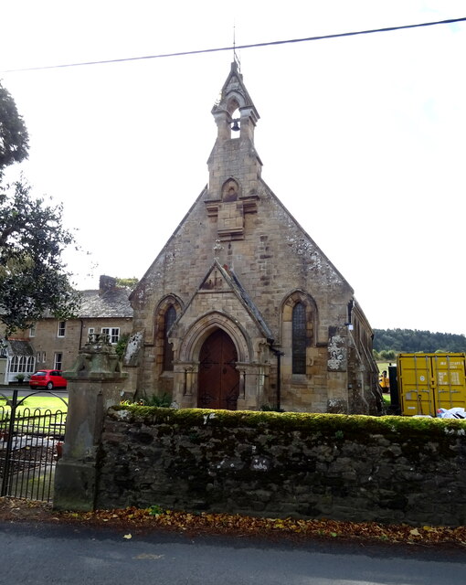
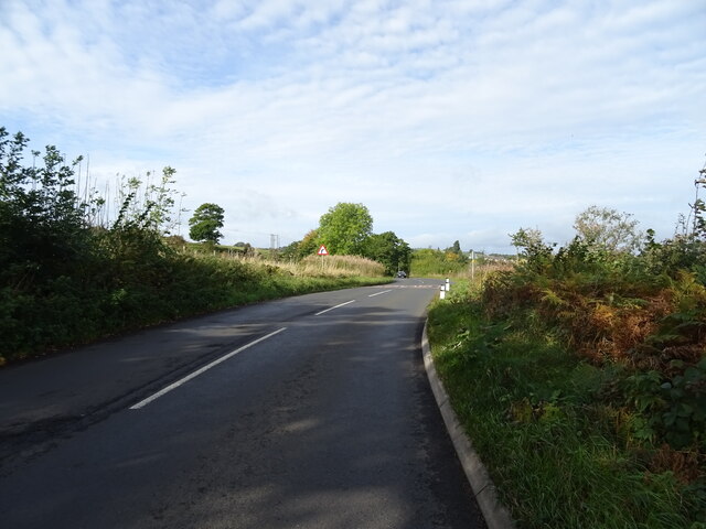
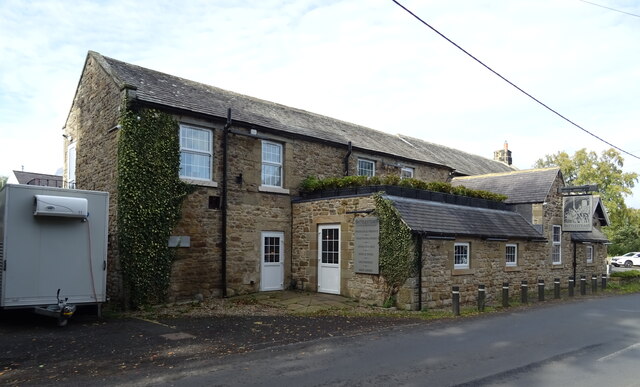
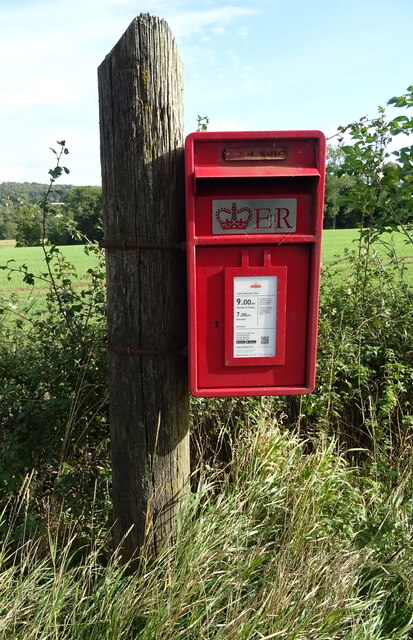
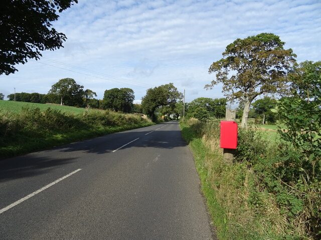
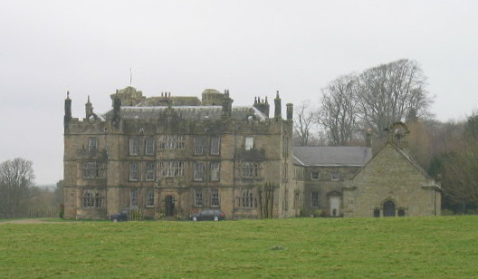
Gofton Wood Images

Images are sourced within 2km of 55.078223/-2.2116832 or Grid Reference NY8675. Thanks to Geograph Open Source API. All images are credited.

Methodist Church, Wark
B6320 towards Wark
B6320 towards Wark
Farm track (footpath), Wark Footpath goes to Low Moralee.
Farm track (footpath), Wark
Footpath goes to Low Moralee.
Battlesteads Hotel and Restaurant, Wark On Hexham Road.
Battlesteads Hotel and Restaurant, Wark
On Hexham Road.
Sign for the Battlesteads Hotel and Restaurant, Wark
George VI postbox on Main Street, Wark On the Post Office.
Postbox No. NE48 79.

See <a href="https://www.geograph.org.uk/photo/7026684">NY8677 : Post Office, Newsagents and store on Main Street, Wark</a> for context.
George VI postbox on Main Street, Wark
On the Post Office. Postbox No. NE48 79. See NY8677 : Post Office, Newsagents and store on Main Street, Wark for context.
Post Office, Newsagents and store on Main Street, Wark Showing position of Postbox No. NE48 79.

See <a href="https://www.geograph.org.uk/photo/7026680">NY8677 : George VI postbox on Main Street, Wark</a> for postbox.
Post Office, Newsagents and store on Main Street, Wark
Showing position of Postbox No. NE48 79. See NY8677 : George VI postbox on Main Street, Wark for postbox.
The Grey Bull Inn on Main Street, Wark
Post Office, Newsagents and store on Main Street, Wark
Cottages on Main Street, Wark
The Black Bull Hotel & Restaurant on Main Street, Wark
Sign for the Black Bull Hotel & Restaurant on Main Street, Wark
Grazing towards Hornslaw Wood West of the B6320.
Grazing towards Hornslaw Wood
West of the B6320.
Heading towards Wark Biker on the B6320.
Heading towards Wark
Biker on the B6320.
Emerging crop and woodland Near Little Park End.
Emerging crop and woodland
Near Little Park End.
Track to Little Park End Off the B6320.
Track to Little Park End
Off the B6320.
Elizabeth II postbox on the B6320, Park End Postbox No. NE48 33.

See <a href="https://www.geograph.org.uk/photo/7027501">NY8775 : B6320, Park End</a> for context.
Elizabeth II postbox on the B6320, Park End
Postbox No. NE48 33. See NY8775 : B6320, Park End for context.
B6320, Park End Towards Wark.
Showing position of Postbox No. NE48 33.

See <a href="https://www.geograph.org.uk/photo/7027500">NY8775 : Elizabeth II postbox on the B6320, Park End</a> for postbox.
B6320, Park End
Towards Wark. Showing position of Postbox No. NE48 33. See NY8775 : Elizabeth II postbox on the B6320, Park End for postbox.
Show me another place!

Gofton Wood is located at Grid Ref: NY8675 (Lat: 55.078223, Lng: -2.2116832)

Unitary Authority: Northumberland

Police Authority: Northumbria

What 3 Words

///reminder.revamped.paradise. Near Birtley, Northumberland

Related Wikis

Wark in Tyndale Castle

Wark in Tyndale Castle was a medieval building in the English county of Northumberland (grid reference NY861768). It was first mentioned in 1399–1400,...

Wark railway station

Wark railway station is a disused railway station which served the village of Wark on Tyne, Northumberland, England. Located on the Border Counties Railway...

Wark Town Hall

Wark Town Hall is a municipal building on The Green in Wark on Tyne, Northumberland, England. The building, which is used as a community events venue,...

Wark on Tyne

Wark on Tyne is a small village and civil parish in Northumberland, England, 12 miles (19 km) north of Hexham. == History == The name is derived from the...

Chipchase Castle

Chipchase Castle is a 17th-century Jacobean mansion incorporating a substantial 14th-century pele tower, which stands north of Hadrian's Wall, near Wark...

Birtley, Northumberland

Birtley is a village in Northumberland, England southeast of Bellingham. It is about 10 miles (16 km) north of Hexham. == References == == External... ==

Nunwick Hall

Nunwick Hall is a privately owned 18th-century country house near Simonburn, Northumberland in North East England. The estate has been the home of the...

Simonburn

Simonburn is a small human settlement in Northumberland, England. == Early history == Simonburn lies to the north of Hadrian's Wall, the most noted Roman...

Nearby Amenities

Located within 500m of 55.078223,-2.2116832
Power: pole
Lat/Long: 55.0740081/-2.2113439
Power: pole
Lat/Long: 55.0750186/-2.2152032
Power: pole
Lat/Long: 55.0751532/-2.2138175
Power: pole
Lat/Long: 55.0752609/-2.2125854
Power: pole
Lat/Long: 55.0759519/-2.2129365
Power: pole
Lat/Long: 55.0761745/-2.2117295
Power: pole
Lat/Long: 55.0767004/-2.2132845
Power: pole
Lat/Long: 55.0773788/-2.2136388
Power: pole
Lat/Long: 55.0779531/-2.213946
Power: pole
Lat/Long: 55.0785634/-2.2142408
Power: pole
Lat/Long: 55.0793189/-2.214617
Power: pole
Lat/Long: 55.0800386/-2.2149712
Power: pole
Lat/Long: 55.080647/-2.215407
Power: pole
Lat/Long: 55.0813648/-2.2159087
Power: pole
Lat/Long: 55.0749034/-2.2165278
Power: pole
Lat/Long: 55.0763798/-2.2105867
Power: pole
Lat/Long: 55.0787667/-2.2162328
Power: pole
Lat/Long: 55.0786623/-2.2152511
Direction: SW
Generator Method: photovoltaic
Generator Output Electricity: yes
Generator Solar Modules: 11
Generator Source: solar
Generator Type: solar_photovoltaic_panel
Location: roof
Power: generator
Lat/Long: 55.076732/-2.2098988
Direction: SW
Generator Method: photovoltaic
Generator Output Electricity: yes
Generator Solar Modules: 11
Generator Source: solar
Generator Type: solar_photovoltaic_panel
Location: roof
Power: generator
Lat/Long: 55.0767493/-2.2099314
Direction: SW
Generator Method: photovoltaic
Generator Output Electricity: yes
Generator Solar Modules: 11
Generator Source: solar
Generator Type: solar_photovoltaic_panel
Location: roof
Power: generator
Lat/Long: 55.0767666/-2.2099639
Direction: SW
Generator Method: photovoltaic
Generator Output Electricity: yes
Generator Solar Modules: 11
Generator Source: solar
Generator Type: solar_photovoltaic_panel
Location: roof
Power: generator
Lat/Long: 55.0767839/-2.2099965
Direction: SW
Generator Method: photovoltaic
Generator Output Electricity: yes
Generator Solar Modules: 11
Generator Source: solar
Generator Type: solar_photovoltaic_panel
Location: roof
Power: generator
Lat/Long: 55.0768012/-2.2100291
Direction: SW
Generator Method: photovoltaic
Generator Output Electricity: yes
Generator Solar Modules: 11
Generator Source: solar
Generator Type: solar_photovoltaic_panel
Location: roof
Power: generator
Lat/Long: 55.0768185/-2.2100616
Direction: SW
Generator Method: photovoltaic
Generator Output Electricity: yes
Generator Solar Modules: 11
Generator Source: solar
Generator Type: solar_photovoltaic_panel
Location: roof
Power: generator
Lat/Long: 55.0768359/-2.2100942
Direction: SW
Generator Method: photovoltaic
Generator Output Electricity: yes
Generator Solar Modules: 11
Generator Source: solar
Generator Type: solar_photovoltaic_panel
Location: roof
Power: generator
Lat/Long: 55.0768532/-2.2101267
Direction: SW
Generator Method: photovoltaic
Generator Output Electricity: yes
Generator Solar Modules: 11
Generator Source: solar
Generator Type: solar_photovoltaic_panel
Location: roof
Power: generator
Lat/Long: 55.0768705/-2.2101593
Direction: SW
Generator Method: photovoltaic
Generator Output Electricity: yes
Generator Solar Modules: 11
Generator Source: solar
Generator Type: solar_photovoltaic_panel
Location: roof
Power: generator
Lat/Long: 55.0768878/-2.2101919
Barrier: stile
Bicycle: no
Foot: yes
Horse: no
Motor Vehicle: no
Lat/Long: 55.0758302/-2.2182196
Ford: yes
Lat/Long: 55.0787404/-2.2184073
The data included in this document is from www.openstreetmap.org. The data is made available under ODbL.

Have you been to Gofton Wood?

Leave your review of Gofton Wood below (or comments, questions and feedback).