Birch Covert

Wood, Forest in Worcestershire Malvern Hills

England

Birch Covert

Croome House The National Trust Property at Croome Park, once home to the Earls of Coventry, the grounds of which were designed by Capability Brown.
Croome House Credit: Bill Johnson

Birch Covert, located in Worcestershire, England, is a captivating woodland area known for its dense population of birch trees. Situated within the larger expanse of the county's enchanting woodlands, Birch Covert offers a unique and peaceful experience for nature lovers and outdoor enthusiasts alike.

Covering an area of approximately 100 acres, Birch Covert boasts a rich biodiversity, with a variety of flora and fauna thriving within its boundaries. The predominant species of trees in the area are birch, which lend the woodland its name. These slender and elegant trees create a picturesque landscape, especially during the autumn months when their leaves turn a vibrant shade of gold.

Visitors to Birch Covert can enjoy a range of activities, from leisurely walks along the well-maintained trails to birdwatching and wildlife spotting. The woodland provides a sanctuary for numerous bird species, including woodpeckers, jays, and owls, making it a haven for bird enthusiasts. Additionally, the area is home to a diverse array of mammals, such as deer, foxes, and squirrels, adding to the allure of the woodland.

Birch Covert offers a peaceful retreat from the hustle and bustle of everyday life, allowing visitors to immerse themselves in the tranquility of nature. The woodland's well-preserved ecosystem and its accessibility make it an ideal destination for families, couples, and individuals seeking solace and connection with the natural world.

Overall, Birch Covert in Worcestershire is a captivating woodland that showcases the beauty of birch trees while providing a haven for wildlife and offering a serene escape for nature enthusiasts.

If you have any feedback on the listing, please let us know in the comments section below.
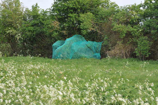
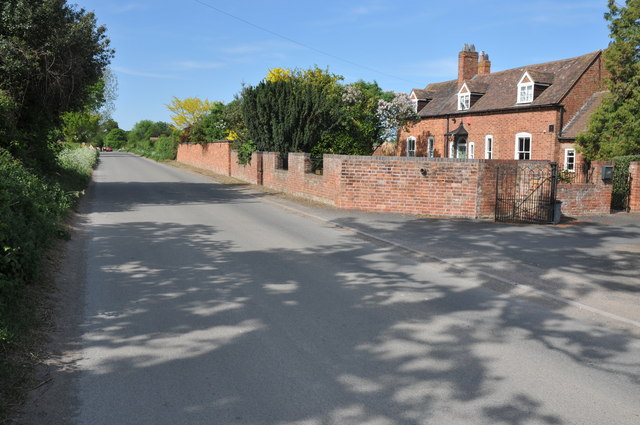
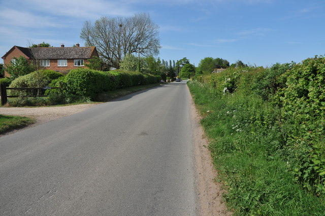
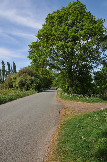
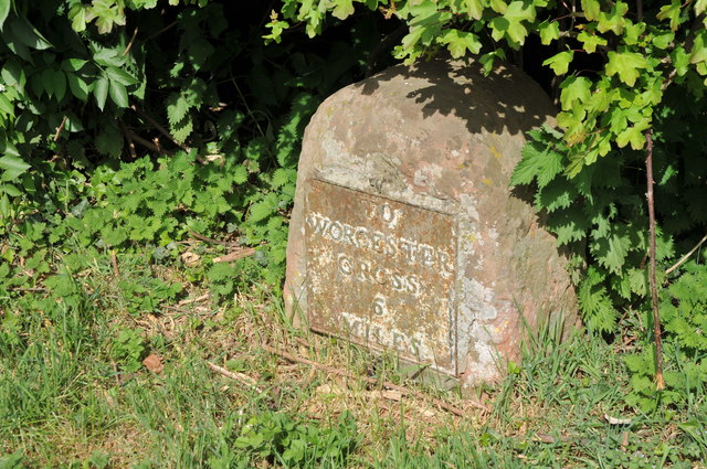
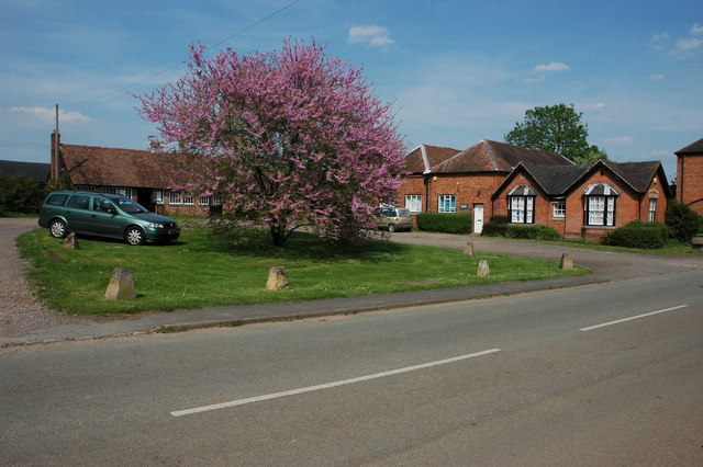
Birch Covert Images

Images are sourced within 2km of 52.104859/-2.1972766 or Grid Reference SO8645. Thanks to Geograph Open Source API. All images are credited.

Croome House The National Trust Property at Croome Park, once home to the Earls of Coventry, the grounds of which were designed by Capability Brown.
Croome House
The National Trust Property at Croome Park, once home to the Earls of Coventry, the grounds of which were designed by Capability Brown.
The Lake at Croome Park This lake was created by Capability Brown and formed part of the Pleasure Park at Croome Park.
The Lake at Croome Park
This lake was created by Capability Brown and formed part of the Pleasure Park at Croome Park.
The Lake at Croome Park This lake was created by Capability Brown and formed part of the Pleasure Park at Croome Park.

The island in the middle of the lake stands out in this pnotograph.
The Lake at Croome Park
This lake was created by Capability Brown and formed part of the Pleasure Park at Croome Park. The island in the middle of the lake stands out in this pnotograph.
Netting over a hedge at Kerswell Green This curious netting appeared over this hedge about a month ago, an internet search has revealed this is likely to stop birds nesting before the hedge is grubbed out to make an entrance.  

Soon after work began on building a sewage treatment works. <a href="https://www.geograph.org.uk/photo/4093553">SO8646 : Kerswell Green sewage treatment works</a>
Netting over a hedge at Kerswell Green
This curious netting appeared over this hedge about a month ago, an internet search has revealed this is likely to stop birds nesting before the hedge is grubbed out to make an entrance. Soon after work began on building a sewage treatment works. SO8646 : Kerswell Green sewage treatment works
Netting over a hedge at Kerswell Green This curious netting appeared over this hedge about a month ago, an internet search has revealed this is likely to stop birds nesting before the hedge is grubbed out to make an entrance.
Netting over a hedge at Kerswell Green
This curious netting appeared over this hedge about a month ago, an internet search has revealed this is likely to stop birds nesting before the hedge is grubbed out to make an entrance.
Cottages at Kerswell Green Unfortunately the proximity and noise of the nearby traffic on the M5 motorway detracts from the rural scene.
Cottages at Kerswell Green
Unfortunately the proximity and noise of the nearby traffic on the M5 motorway detracts from the rural scene.
Road through Kerswell Green Cottage beside the road through Kerswell Green.
Road through Kerswell Green
Cottage beside the road through Kerswell Green.
Road through Kerswell Green
Road out of Kerswell Green Country road leaving the north end of the small hamlet of Kerswell Green near Kempsey.
Road out of Kerswell Green
Country road leaving the north end of the small hamlet of Kerswell Green near Kempsey.
Milestone in Kerswell Green Milestone on the roadside in Kerswell Green indicating it is 6 miles to Worcester Cross.
Milestone in Kerswell Green
Milestone on the roadside in Kerswell Green indicating it is 6 miles to Worcester Cross.
Side road at Kerswell Green This side road at Kerswell Green provides access to a number of cottages and houses.
Side road at Kerswell Green
This side road at Kerswell Green provides access to a number of cottages and houses.
Oilseed rape and cow parsley The footpath passing along the edge of this field is currently a little overgrown with oilseed rape and wild cow parsley.
Oilseed rape and cow parsley
The footpath passing along the edge of this field is currently a little overgrown with oilseed rape and wild cow parsley.
Footpath through oilseed rape This footpath through this field of oilseed rape used go to High Green until the M5 motorway cut through it in the early 1960s.
Footpath through oilseed rape
This footpath through this field of oilseed rape used go to High Green until the M5 motorway cut through it in the early 1960s.
Farm track bridge over M5 near Kinnersley
M5 northbound
M5 northbound
Track through a wheat field Track and bridleway through a field of wheat to a house to the north of Severn Stoke.
Track through a wheat field
Track and bridleway through a field of wheat to a house to the north of Severn Stoke.
Bridleway to Birch Green Bridleway and track through a field of wheat between Clifton and Birch Green.
Bridleway to Birch Green
Bridleway and track through a field of wheat between Clifton and Birch Green.
Naunton Farm viewed across wheat fields The farmhouse of Naunton Farm viewed from the west across fields of wheat.
Naunton Farm viewed across wheat fields
The farmhouse of Naunton Farm viewed from the west across fields of wheat.
Show me another place!

Birch Covert is located at Grid Ref: SO8645 (Lat: 52.104859, Lng: -2.1972766)

Administrative County: Worcestershire

District: Malvern Hills

Police Authority: West Mercia

What 3 Words

///helpful.wheels.renewals. Near Kempsey, Worcestershire

Nearby Locations

Birch Covert Birch Green

Related Wikis

High Green, Worcestershire

High Green is a village in Worcestershire, England.

Severn Stoke

Severn Stoke is an English village and civil parish in the Malvern Hills District, in the south of the county of Worcestershire, alongside the A38 trunk...

Kerswell Green

Kerswell Green is a village in Worcestershire, England.

Croome D'Abitot

Croome D'Abitot is a village and civil parish, which shares a joint parish council with Severn Stoke, in the Malvern Hills District in the county of Worcestershire...

Nearby Amenities

Located within 500m of 52.104859,-2.1972766
Barrier: stile
Foot: yes
Lat/Long: 52.102228/-2.1919232
Barrier: stile
Foot: yes
Lat/Long: 52.1035167/-2.1904552
Barrier: stile
Foot: yes
Lat/Long: 52.1058797/-2.192021
Birch Farm
Location Transition: yes
Power: pole
Transformer: distribution
Voltage Primary: 11000
Lat/Long: 52.1061139/-2.197971
Power: pole
Lat/Long: 52.1072852/-2.1991579
Power: pole
Lat/Long: 52.1066699/-2.1985397
Power: pole
Lat/Long: 52.1080669/-2.2000659
M5 Comms Birch Farm
Location Transition: yes
Power: pole
Transformer: distribution
Voltage Primary: 11000
Lat/Long: 52.1084977/-2.1938807
The data included in this document is from www.openstreetmap.org. The data is made available under ODbL.

Have you been to Birch Covert?

Leave your review of Birch Covert below (or comments, questions and feedback).