Birch Green

Settlement in Worcestershire Malvern Hills

England

Birch Green

Milestone, A38 at Baynhall The remains of a milestone beside the A38 at Baynhall to the south of the village of Kempsey.  Since photographing this milestone it has had the plate replaced, see: <a href="https://www.geograph.org.uk/photo/3057856">SO8547 : Milestone on Baynhall</a>
Milestone, A38 at Baynhall Credit: Philip Halling

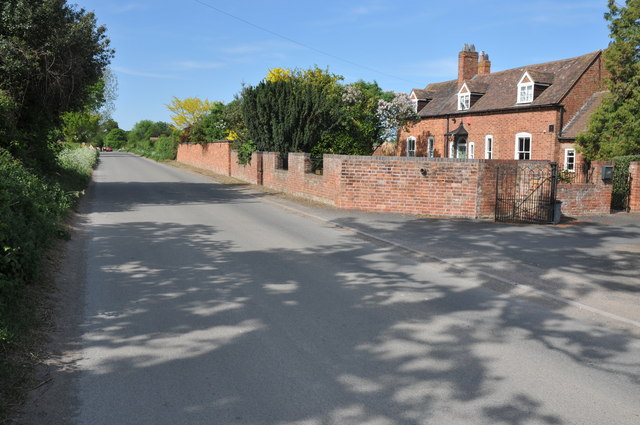
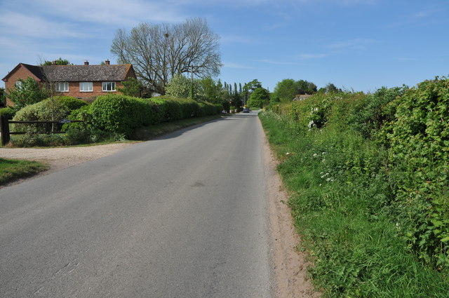
Birch Green is a small village located in Worcestershire, England. Situated approximately 10 miles north of the city of Worcester, it falls within the administrative district of Wychavon. With a population of around 400 residents, Birch Green is known for its peaceful and rural atmosphere.

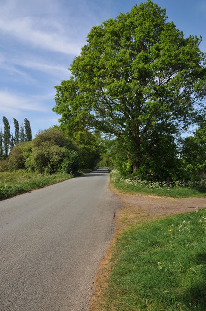
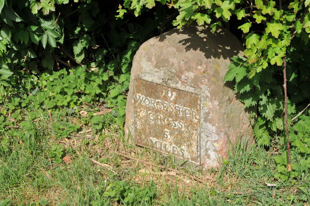
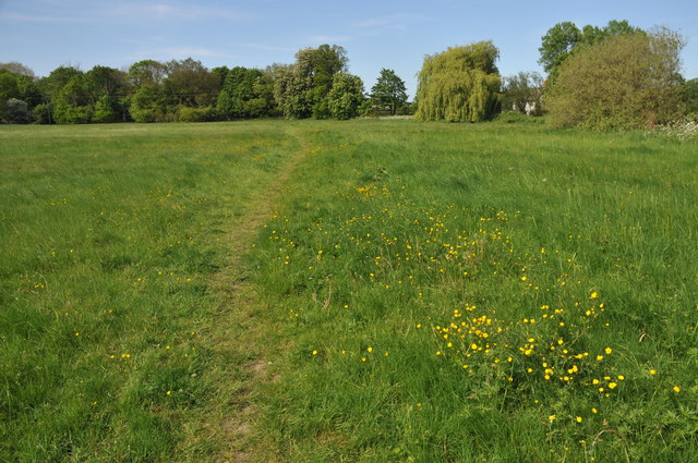
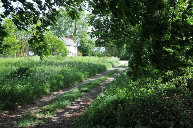
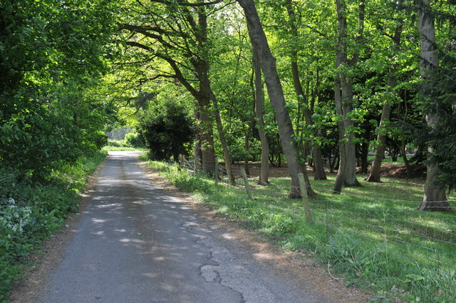
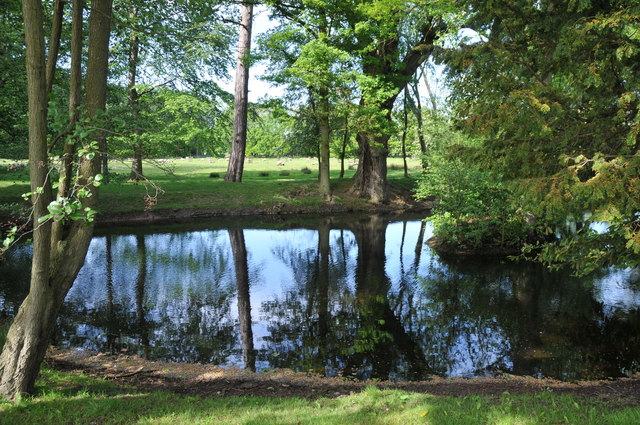
The village is surrounded by picturesque countryside, offering stunning views and ample opportunities for outdoor activities such as hiking, cycling, and horseback riding. The area is also home to several nature reserves, including the nearby Droitwich Canal and Salwarpe Valley Nature Reserve, providing a haven for wildlife enthusiasts.

Despite its small size, Birch Green boasts a strong sense of community and a range of amenities for its residents. These include a village hall, a local pub, and a primary school, providing essential services and meeting places for the villagers.

For those in search of more extensive amenities, the nearby city of Worcester offers a wider range of shopping, dining, and entertainment options. Worcester is also known for its rich history, with attractions such as Worcester Cathedral and the Tudor House Museum.

Overall, Birch Green offers a tranquil and close-knit community within easy reach of both the countryside and the amenities of a larger city. It is an ideal location for those seeking a peaceful village lifestyle while still having access to the conveniences of urban living.

If you have any feedback on the listing, please let us know in the comments section below.
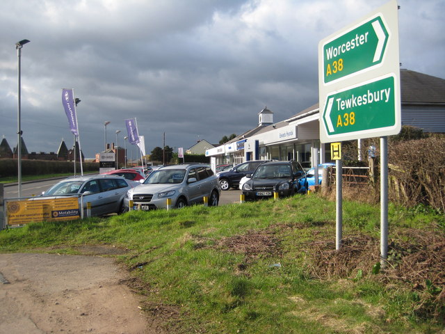
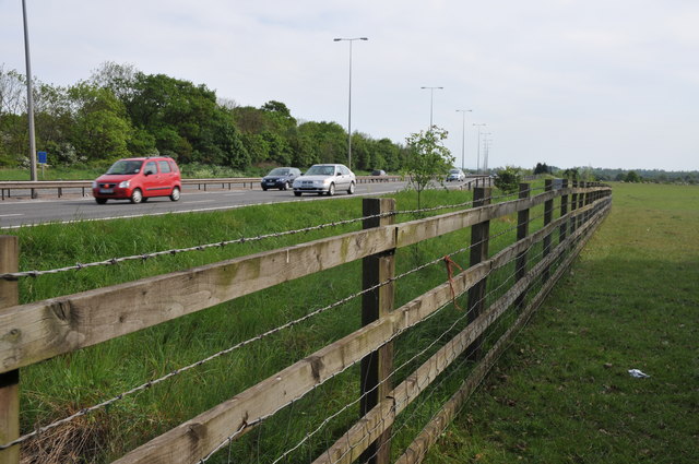
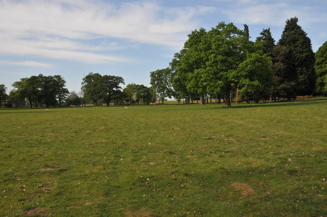
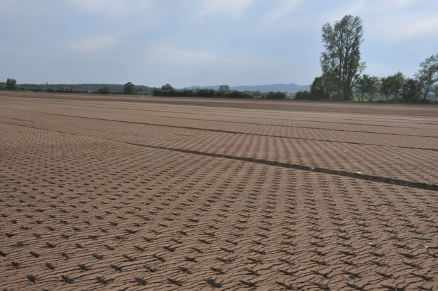
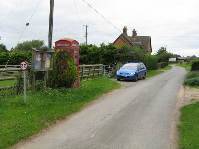
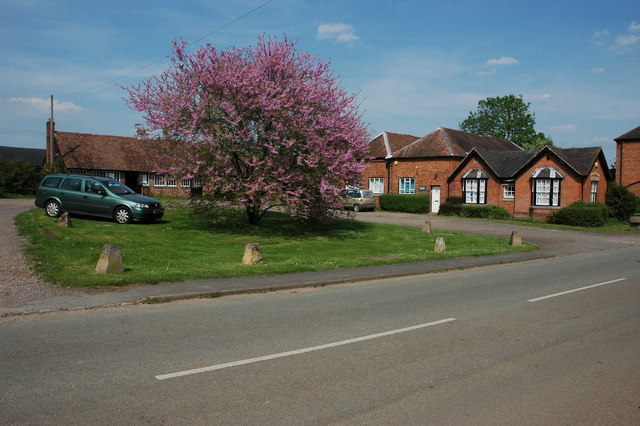
Birch Green Images

Images are sourced within 2km of 52.112019/-2.2053105 or Grid Reference SO8645. Thanks to Geograph Open Source API. All images are credited.

Milestone, A38 at Baynhall The remains of a milestone beside the A38 at Baynhall to the south of the village of Kempsey.  Since photographing this milestone it has had the plate replaced, see: <a href="https://www.geograph.org.uk/photo/3057856">SO8547 : Milestone on Baynhall</a>
Milestone, A38 at Baynhall
The remains of a milestone beside the A38 at Baynhall to the south of the village of Kempsey. Since photographing this milestone it has had the plate replaced, see: SO8547 : Milestone on Baynhall
Baynhall Garage Baynhall Garage is a car dealership for Mazda, KIA and Daihatsu and is situated on the A38 to the south of Kempsey.
Baynhall Garage
Baynhall Garage is a car dealership for Mazda, KIA and Daihatsu and is situated on the A38 to the south of Kempsey.
Bus stop at Baynhall Until recently there was a bus shelter here until it was demolished, now all that remains is a seat.
Bus stop at Baynhall
Until recently there was a bus shelter here until it was demolished, now all that remains is a seat.
Netting over a hedge at Kerswell Green This curious netting appeared over this hedge about a month ago, an internet search has revealed this is likely to stop birds nesting before the hedge is grubbed out to make an entrance.  

Soon after work began on building a sewage treatment works. <a href="https://www.geograph.org.uk/photo/4093553">SO8646 : Kerswell Green sewage treatment works</a>
Netting over a hedge at Kerswell Green
This curious netting appeared over this hedge about a month ago, an internet search has revealed this is likely to stop birds nesting before the hedge is grubbed out to make an entrance. Soon after work began on building a sewage treatment works. SO8646 : Kerswell Green sewage treatment works
Netting over a hedge at Kerswell Green This curious netting appeared over this hedge about a month ago, an internet search has revealed this is likely to stop birds nesting before the hedge is grubbed out to make an entrance.
Netting over a hedge at Kerswell Green
This curious netting appeared over this hedge about a month ago, an internet search has revealed this is likely to stop birds nesting before the hedge is grubbed out to make an entrance.
Cottages at Kerswell Green Unfortunately the proximity and noise of the nearby traffic on the M5 motorway detracts from the rural scene.
Cottages at Kerswell Green
Unfortunately the proximity and noise of the nearby traffic on the M5 motorway detracts from the rural scene.
Road through Kerswell Green Cottage beside the road through Kerswell Green.
Road through Kerswell Green
Cottage beside the road through Kerswell Green.
Road through Kerswell Green
Road out of Kerswell Green Country road leaving the north end of the small hamlet of Kerswell Green near Kempsey.
Road out of Kerswell Green
Country road leaving the north end of the small hamlet of Kerswell Green near Kempsey.
Milestone in Kerswell Green Milestone on the roadside in Kerswell Green indicating it is 6 miles to Worcester Cross.
Milestone in Kerswell Green
Milestone on the roadside in Kerswell Green indicating it is 6 miles to Worcester Cross.
Normoor Common, Kerswell Green Normoor Common small piece of common land at Kerswell Green.
Normoor Common, Kerswell Green
Normoor Common small piece of common land at Kerswell Green.
Cottage on Normoor Common Cottage overlooking Normoor Common near Kerswell Green.
Cottage on Normoor Common
Cottage overlooking Normoor Common near Kerswell Green.
Road to Park Farm This is a no through road giving access to Park Farm which is on the other side of the M5 motorway.
Road to Park Farm
This is a no through road giving access to Park Farm which is on the other side of the M5 motorway.
Pond at Kerswell Green This small pond is beside a sharp bend in the road to the north of Kerswell Green.
Pond at Kerswell Green
This small pond is beside a sharp bend in the road to the north of Kerswell Green.
Traffic on the M5 motorway Traffic travelling north on the M5 motorway to the south of Worcester viewed from the footpath adjacent to the road.
Traffic on the M5 motorway
Traffic travelling north on the M5 motorway to the south of Worcester viewed from the footpath adjacent to the road.
Trees in a field near The Nash Trees in land which appears as if it were originally parkland to the west of the Jacobean house, The Nash.
Trees in a field near The Nash
Trees in land which appears as if it were originally parkland to the west of the Jacobean house, The Nash.
Rolled soil, Kerswell Green The soil in this field has been rolled in preparation of seeding lawn turf.
Rolled soil, Kerswell Green
The soil in this field has been rolled in preparation of seeding lawn turf.
Field prepared for growing lawn turf This field near Kerswell Green has been rolled and prepared for seed to grow lawn turf.
Field prepared for growing lawn turf
This field near Kerswell Green has been rolled and prepared for seed to grow lawn turf.
Show me another place!

Birch Green is located at Grid Ref: SO8645 (Lat: 52.112019, Lng: -2.2053105)

Administrative County: Worcestershire

District: Malvern Hills

Police Authority: West Mercia

What 3 Words

///utter.lecturers.renamed. Near Kempsey, Worcestershire

Nearby Locations

Birch Green Birch Covert

Related Wikis

Kerswell Green

Kerswell Green is a village in Worcestershire, England.

Clifton, Worcestershire

Clifton is a village in Worcestershire, England.

High Green, Worcestershire

High Green is a village in Worcestershire, England.

Severn Stoke

Severn Stoke is an English village and civil parish in the Malvern Hills District, in the south of the county of Worcestershire, alongside the A38 trunk...

Draycott, Worcestershire

Draycott is a hamlet in the English county of Worcestershire. It is located on the A38 road due south of the city of Worcester. It forms part of the civil...

Pirton, Worcestershire

Pirton is a small village in the English county of Worcestershire. The village has been occupied since at least 1086, when Domesday listed the village...

Croome D'Abitot

Croome D'Abitot is a village and civil parish, which shares a joint parish council with Severn Stoke, in the Malvern Hills District in the county of Worcestershire...

The Rhydd

The Rhydd (formerly Rhydd Court) is an English country house alongside the River Severn, near the village of Hanley Castle, Worcestershire, about halfway...

Nearby Amenities

Located within 500m of 52.112019,-2.2053105
Barrier: kissing_gate
Foot: yes
Lat/Long: 52.1159526/-2.2057092
Birch Green
Place: hamlet
Lat/Long: 52.1115832/-2.2057977
Power: pole
Lat/Long: 52.1161489/-2.2042997
Kerswell Green West
Power: pole
Transformer: distribution
Voltage Primary: 11000
Lat/Long: 52.115873/-2.205618
Power: pole
Lat/Long: 52.1156119/-2.206931
Power: pole
Lat/Long: 52.1156523/-2.2079918
Power: pole
Lat/Long: 52.1157593/-2.2091076
Power: pole
Lat/Long: 52.1114932/-2.2052425
Naunton Farm
Power: pole
Transformer: distribution
Voltage Primary: 11000
Lat/Long: 52.1115921/-2.2089386
Power: pole
Lat/Long: 52.1105214/-2.2118568
Power: pole
Lat/Long: 52.1112495/-2.210843
Power: pole
Lat/Long: 52.1118227/-2.2100812
Power: pole
Lat/Long: 52.112419/-2.2092658
Power: pole
Lat/Long: 52.1131207/-2.2095394
Power: pole
Lat/Long: 52.1138586/-2.2098398
Power: pole
Lat/Long: 52.1146163/-2.2101349
Power: pole
Lat/Long: 52.1152191/-2.2103816
Power: pole
Lat/Long: 52.1089136/-2.2010207
Power: pole
Lat/Long: 52.1096994/-2.2019112
Power: pole
Lat/Long: 52.1105626/-2.2028849
Birch Arles
Power: pole
Transformer: distribution
Voltage Primary: 11000
Lat/Long: 52.1114191/-2.2038585
Power: pole
Lat/Long: 52.1114685/-2.2047141
Power: pole
Lat/Long: 52.1116711/-2.2067472
Power: pole
Lat/Long: 52.1116448/-2.2084129
Power: pole
Lat/Long: 52.1162814/-2.2071858
The data included in this document is from www.openstreetmap.org. The data is made available under ODbL.

Have you been to Birch Green?

Leave your review of Birch Green below (or comments, questions and feedback).