Parkside Wood
Wood, Forest in Northumberland
England
Parkside Wood
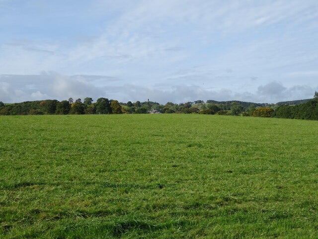
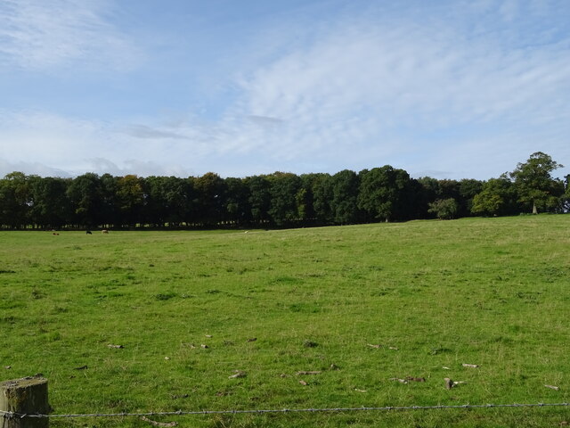
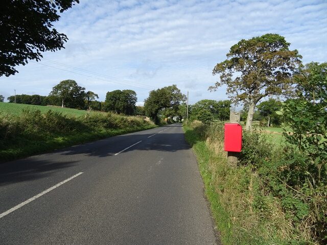
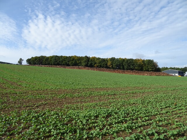
Parkside Wood is a serene and picturesque forest located in the county of Northumberland, England. Covering an area of approximately 50 acres, this woodland oasis provides a tranquil escape for nature enthusiasts and outdoor adventurers alike.
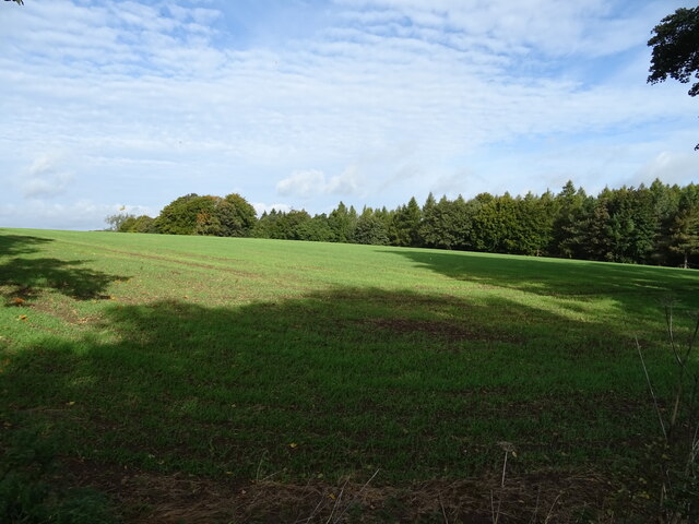
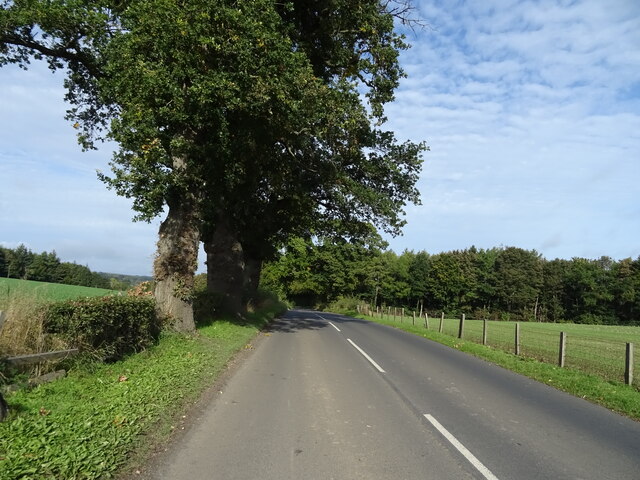
The wood is predominantly composed of native tree species such as oak, beech, and birch, creating a diverse and vibrant ecosystem. The canopy formed by these towering trees provides ample shade, creating a cool and refreshing atmosphere during the summer months. The forest floor is adorned with an array of wildflowers, ferns, and mosses, adding a splash of color to the verdant surroundings.
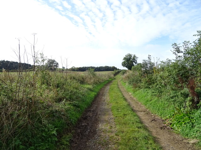
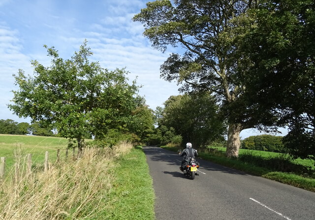
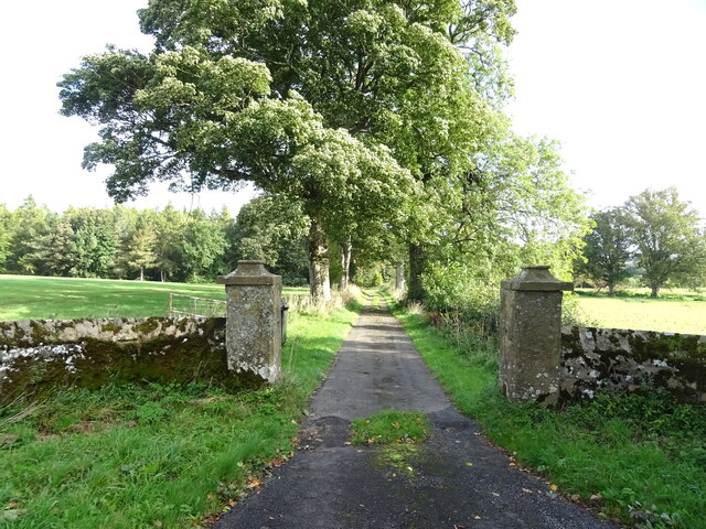
Parkside Wood boasts a network of well-maintained trails, making it an ideal destination for walkers and hikers of all abilities. These paths wind their way through the forest, allowing visitors to explore the natural beauty at their own pace. The sounds of birdsong fill the air, with species such as robins, blackbirds, and woodpeckers being commonly spotted and heard.
The wood also offers a variety of habitats for wildlife, making it a haven for biodiversity. Squirrels can be seen scampering among the treetops, while rabbits and badgers make their homes in the undergrowth. Birdwatchers may be lucky enough to catch a glimpse of a tawny owl or a buzzard soaring overhead.
Whether you seek a peaceful retreat in nature, a chance to spot wildlife, or a leisurely stroll surrounded by beauty, Parkside Wood in Northumberland offers an idyllic setting for all who visit.
If you have any feedback on the listing, please let us know in the comments section below.
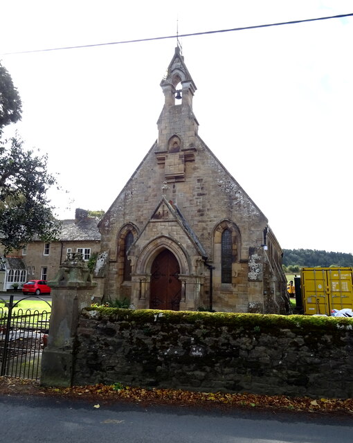
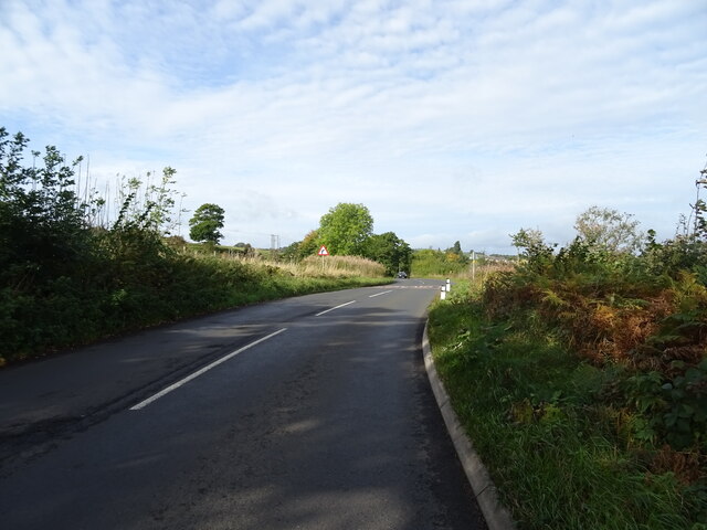
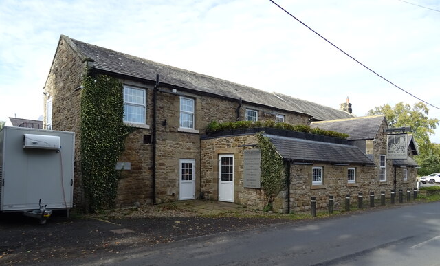
Parkside Wood Images
Images are sourced within 2km of 55.069795/-2.2112158 or Grid Reference NY8675. Thanks to Geograph Open Source API. All images are credited.
Parkside Wood is located at Grid Ref: NY8675 (Lat: 55.069795, Lng: -2.2112158)
Unitary Authority: Northumberland
Police Authority: Northumbria
What 3 Words
///completed.trailing.wants. Near Birtley, Northumberland
Nearby Locations
Related Wikis

Nunwick Hall
Nunwick Hall is a privately owned 18th-century country house near Simonburn, Northumberland in North East England. The estate has been the home of the...
Chipchase Castle
Chipchase Castle is a 17th-century Jacobean mansion incorporating a substantial 14th-century pele tower, which stands north of Hadrian's Wall, near Wark...

Simonburn
Simonburn is a small human settlement in Northumberland, England. == Early history == Simonburn lies to the north of Hadrian's Wall, the most noted Roman...
Wark in Tyndale Castle
Wark in Tyndale Castle was a medieval building in the English county of Northumberland (grid reference NY861768). It was first mentioned in 1399–1400,...

Wark railway station
Wark railway station is a disused railway station which served the village of Wark on Tyne, Northumberland, England. Located on the Border Counties Railway...

Wark Town Hall
Wark Town Hall is a municipal building on The Green in Wark on Tyne, Northumberland, England. The building, which is used as a community events venue,...

Wark on Tyne
Wark on Tyne is a small village and civil parish in Northumberland, England, 12 miles (19 km) north of Hexham. == History == The name is derived from the...

Greenhaugh
Greenhaugh is a small village in Northumberland, England. It is located northwest of Bellingham and borders the Northumberland National Park. It is in...
Nearby Amenities
Located within 500m of 55.069795,-2.2112158Have you been to Parkside Wood?
Leave your review of Parkside Wood below (or comments, questions and feedback).