Fishy Mead Copse
Wood, Forest in Dorset
England
Fishy Mead Copse
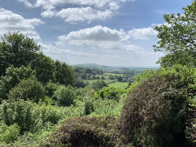
Fishy Mead Copse is a picturesque woodland located in Dorset, England. Covering an area of approximately 50 acres, this enchanting forest is a haven for nature enthusiasts and those seeking tranquility amidst nature's wonders.
The copse is primarily composed of native broadleaf trees such as oak, beech, and birch, which create a dense canopy overhead, providing shade and creating a serene atmosphere. The forest floor is adorned with a carpet of wildflowers, including bluebells, primroses, and wood anemones, painting the landscape with vibrant colors during the spring season.
The woodland is intersected by a small stream, which adds to the overall charm of the area. The stream is teeming with a variety of freshwater fish, giving the copse its distinctive name of Fishy Mead. The presence of the stream also attracts a diverse range of bird species, including kingfishers, herons, and ducks, making it an ideal spot for birdwatching enthusiasts.
For those looking to explore the copse, there are several well-maintained walking trails that wind through the forest, offering visitors the opportunity to immerse themselves in nature and discover its hidden treasures. The pathways are surrounded by lush vegetation, creating a peaceful ambiance and providing shelter for a multitude of wildlife, including squirrels, badgers, and deer.
Overall, Fishy Mead Copse is a captivating woodland that showcases the natural beauty of Dorset. With its rich biodiversity, scenic trails, and tranquil ambiance, it is a delightful destination for nature lovers and a perfect escape from the hustle and bustle of everyday life.
If you have any feedback on the listing, please let us know in the comments section below.
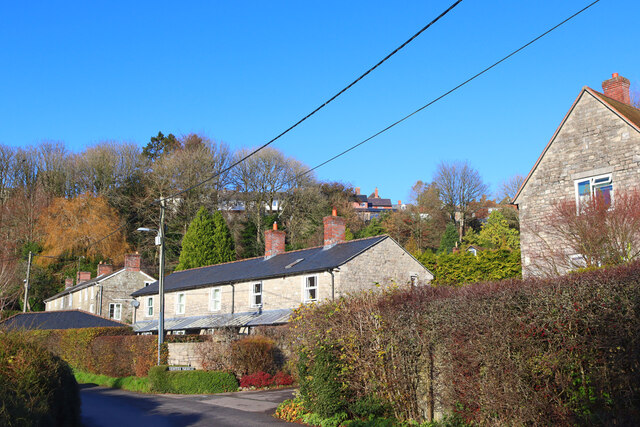
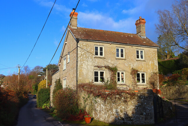
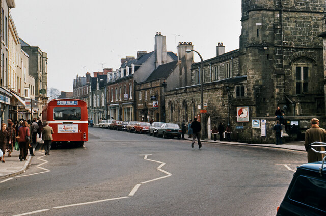
Fishy Mead Copse Images
Images are sourced within 2km of 51.016426/-2.2020253 or Grid Reference ST8524. Thanks to Geograph Open Source API. All images are credited.

Fishy Mead Copse is located at Grid Ref: ST8524 (Lat: 51.016426, Lng: -2.2020253)
Unitary Authority: Dorset
Police Authority: Dorset
What 3 Words
///asked.dustbin.perfume. Near Shaftesbury, Dorset
Related Wikis
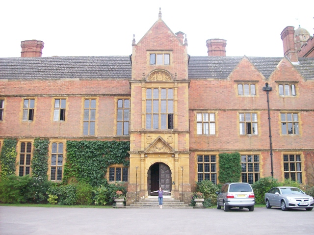
Port Regis School
Port Regis School is a co-educational preparatory school located in 140 acres of parkland on the Dorset-Wiltshire border in southern England, situated...
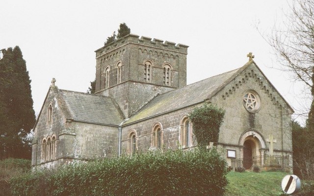
St John's Church, Enmore Green
St John's Church is a Church of England parish church in Enmore Green, Dorset, England. The church was designed by George Alexander and built in 1842–43...

The Breeze (North Dorset)
Greatest Hits Radio Dorset (North Dorset) is an Independent Local Radio station serving North Dorset. == History == Launched on 25 June 1995 as Gold Radio...

North Dorset (UK Parliament constituency)
North Dorset is a constituency represented in the House of Commons of the UK Parliament since 2015 by Simon Hoare, a Conservative. == History == This seat...

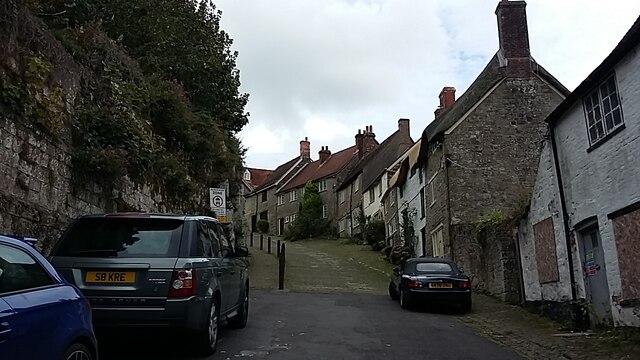
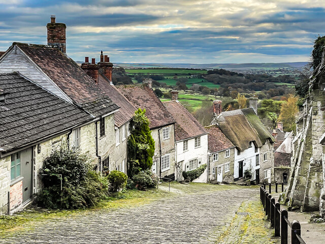
Shaftesbury
Shaftesbury () is a town and civil parish in Dorset, England. It is on the A30 road, 20 miles (32 kilometres) west of Salisbury and 19.4 miles (31 kilometres...

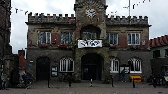
Shaftesbury Town Hall
Shaftesbury Town Hall is a municipal building in the High Street, Shaftesbury, Dorset, England. The town hall, which is the meeting place of Shaftsbury...
Shaftesbury Abbey
Shaftesbury Abbey was an abbey that housed nuns in Shaftesbury, Dorset. It was founded in about 888, and dissolved in 1539 during the English Reformation...
Westminster Memorial Hospital
The Westminster Memorial Hospital is a small community hospital in Shaftesbury, Dorset, England. It provides about 20 in-patient beds, a minor injuries...
Nearby Amenities
Located within 500m of 51.016426,-2.2020253Have you been to Fishy Mead Copse?
Leave your review of Fishy Mead Copse below (or comments, questions and feedback).