Ryal's Plantation
Wood, Forest in Dorset
England
Ryal's Plantation
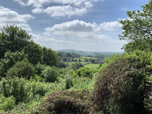
Ryal's Plantation, located in Dorset, England, is a charming woodland area known for its natural beauty and serene atmosphere. Covering a vast expanse of land, the plantation is a popular destination for locals and tourists alike, offering a peaceful retreat from the hustle and bustle of everyday life.
The plantation is primarily made up of a dense forest, boasting a variety of tree species such as oak, beech, and pine. The towering trees provide a lush canopy, creating a sense of tranquility and shade throughout the area. Walking trails wind their way through the plantation, allowing visitors to immerse themselves in the natural surroundings and enjoy a leisurely stroll or a vigorous hike.
Wildlife enthusiasts will also find Ryal's Plantation to be a haven for various animal species. It is home to a diverse range of creatures, including deer, rabbits, squirrels, and numerous bird species. Birdwatchers can spot a wide array of feathered friends, from woodpeckers to owls, making it a popular spot for birding enthusiasts.
In addition to its natural beauty, Ryal's Plantation offers recreational activities such as picnicking and camping. Families often gather in the open meadows to enjoy a leisurely picnic, while camping enthusiasts can set up tents in designated areas for an overnight stay in the heart of nature.
Overall, Ryal's Plantation in Dorset is a picturesque woodland retreat that offers visitors a chance to reconnect with nature and enjoy the peaceful surroundings. Whether it's a leisurely walk, birdwatching, or a family picnic, this plantation provides a serene escape for all who seek it.
If you have any feedback on the listing, please let us know in the comments section below.
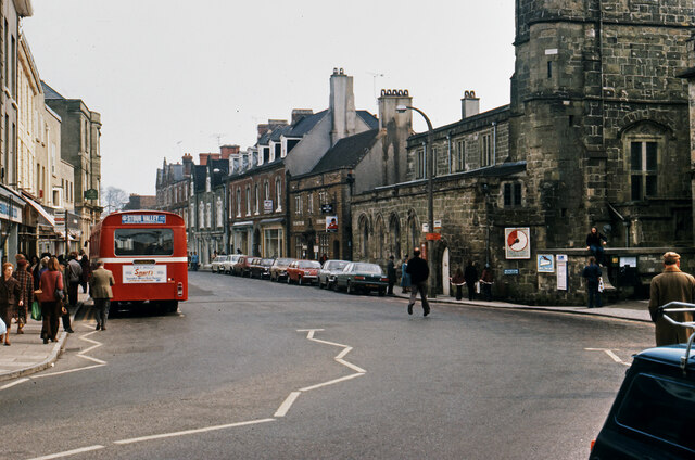
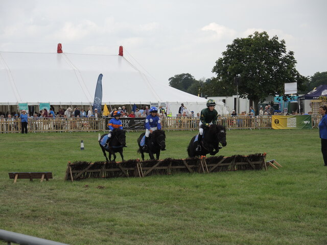
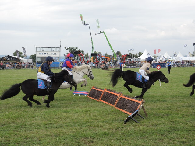
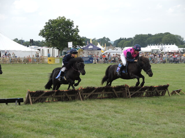
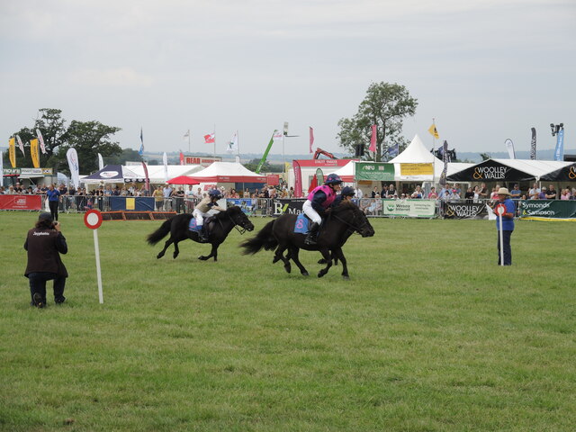
Ryal's Plantation Images
Images are sourced within 2km of 51.019763/-2.2116061 or Grid Reference ST8524. Thanks to Geograph Open Source API. All images are credited.
Ryal's Plantation is located at Grid Ref: ST8524 (Lat: 51.019763, Lng: -2.2116061)
Unitary Authority: Dorset
Police Authority: Dorset
What 3 Words
///home.takeovers.investor. Near Motcombe, Dorset
Related Wikis
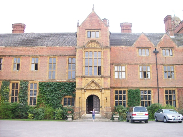
Port Regis School
Port Regis School is a co-educational preparatory school located in 140 acres of parkland on the Dorset-Wiltshire border in southern England, situated...
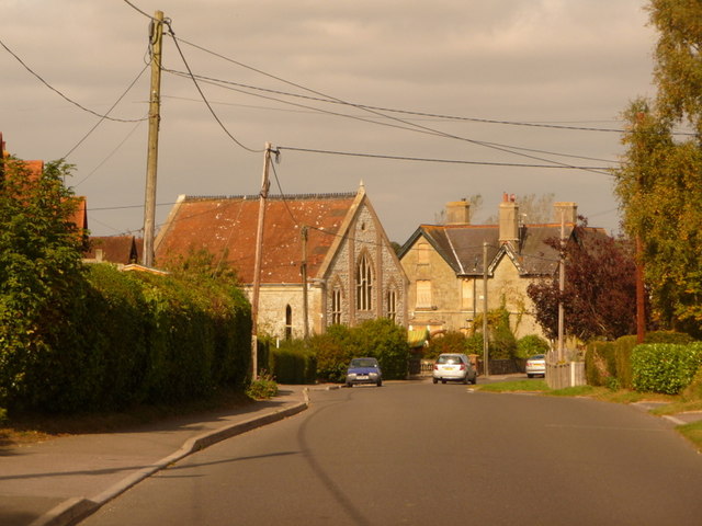
Motcombe
Motcombe is a village and civil parish in north Dorset, England. It lies about two miles (three kilometres) north of Shaftesbury. It is sited on Kimmeridge...
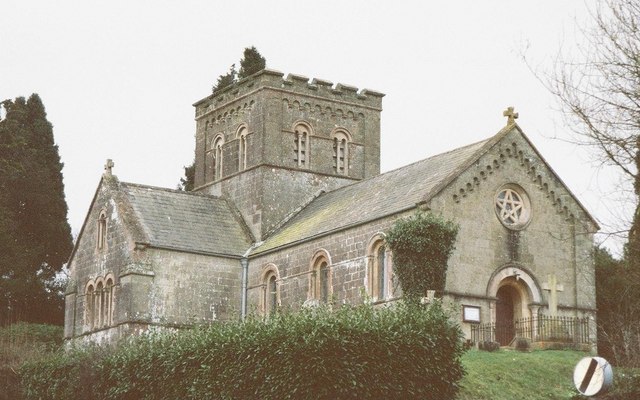
St John's Church, Enmore Green
St John's Church is a Church of England parish church in Enmore Green, Dorset, England. The church was designed by George Alexander and built in 1842–43...

North Dorset (UK Parliament constituency)
North Dorset is a constituency represented in the House of Commons of the UK Parliament since 2015 by Simon Hoare, a Conservative. == History == This seat...
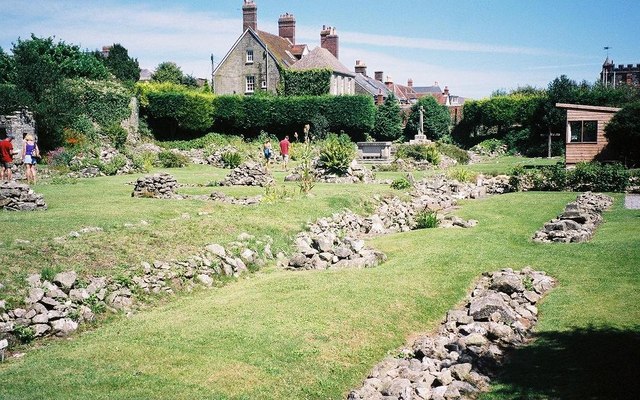
Shaftesbury Abbey
Shaftesbury Abbey was an abbey that housed nuns in Shaftesbury, Dorset. It was founded in about 888, and dissolved in 1539 during the English Reformation...
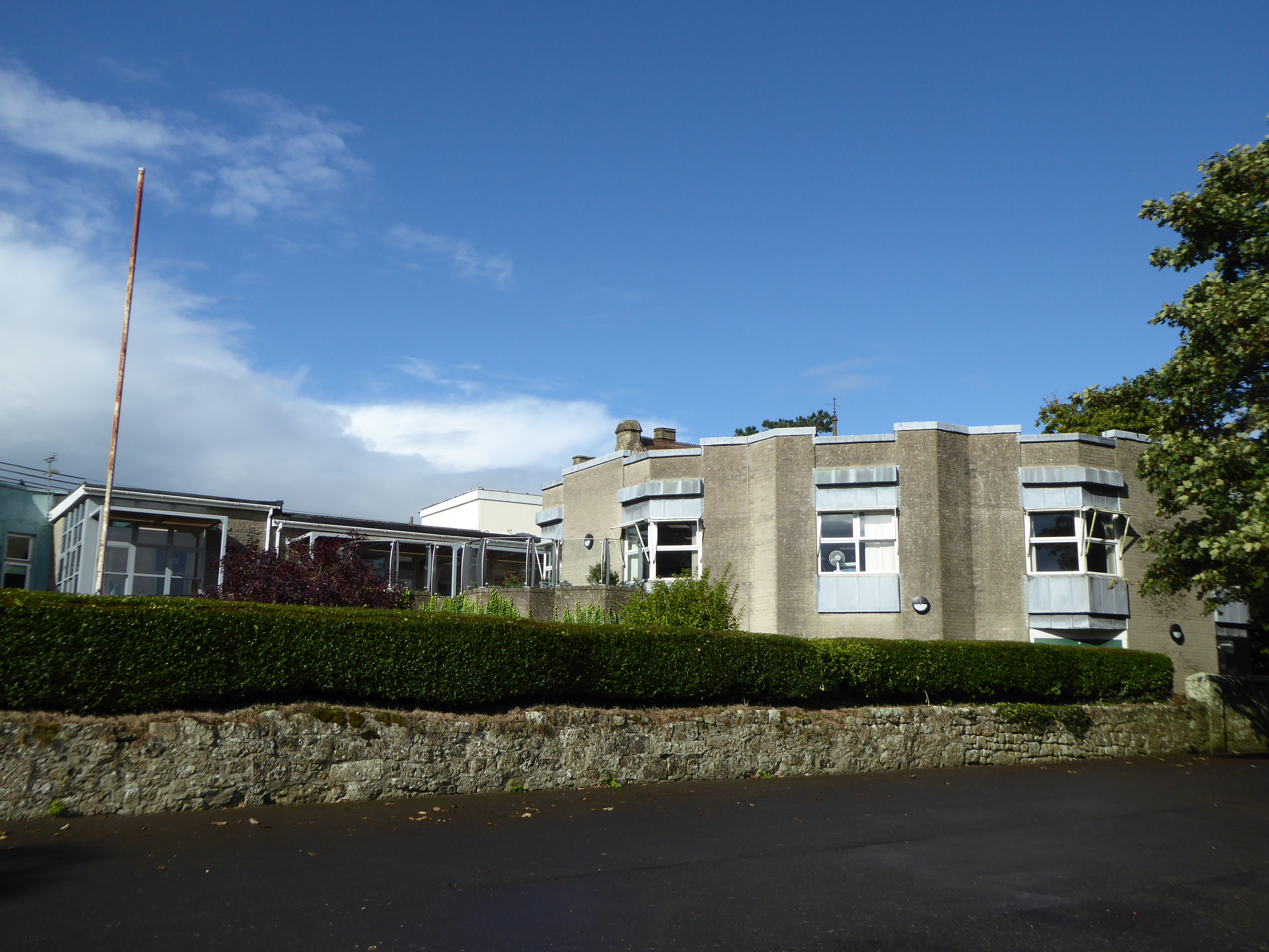
Westminster Memorial Hospital
The Westminster Memorial Hospital is a small community hospital in Shaftesbury, Dorset, England. It provides about 20 in-patient beds, a minor injuries...

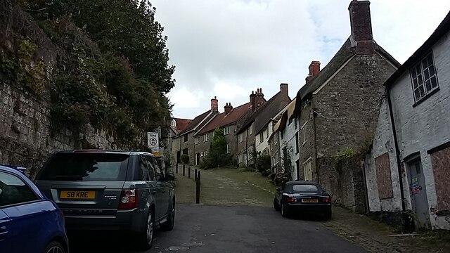
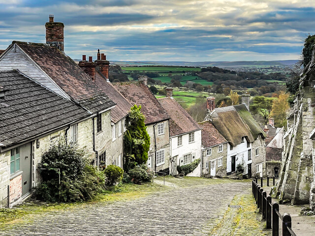
Shaftesbury
Shaftesbury () is a town and civil parish in Dorset, England. It is on the A30 road, 20 miles (32 kilometres) west of Salisbury and 19.4 miles (31 kilometres...

The Breeze (North Dorset)
Greatest Hits Radio Dorset (North Dorset) is an Independent Local Radio station serving North Dorset. == History == Launched on 25 June 1995 as Gold Radio...
Nearby Amenities
Located within 500m of 51.019763,-2.2116061Have you been to Ryal's Plantation?
Leave your review of Ryal's Plantation below (or comments, questions and feedback).