Ryalls Plantation
Wood, Forest in Dorset
England
Ryalls Plantation
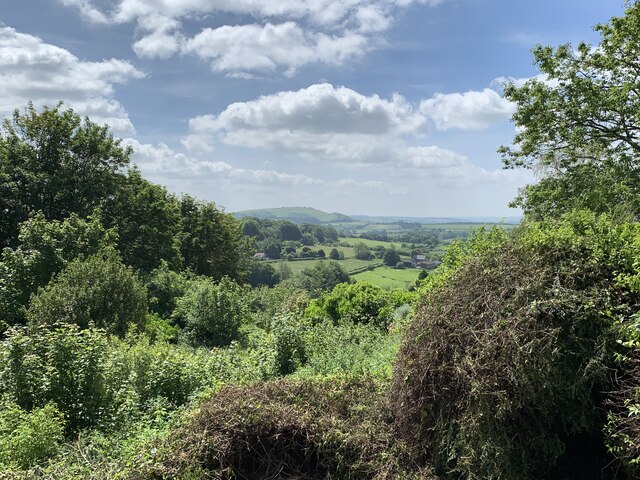
Ryalls Plantation is a picturesque woodland located in the county of Dorset, England. Situated near the village of Wood, this forested area spans approximately 200 acres and boasts an array of natural beauty and diverse flora and fauna.
The plantation is characterized by its dense, mature trees, primarily consisting of oak, beech, and ash. These towering giants create a lush canopy that provides shelter to a variety of woodland creatures, including deer, squirrels, and a rich assortment of bird species. The forest floor is covered in a blanket of vibrant wildflowers, adding to the overall charm and tranquility of the area.
Ryalls Plantation is a popular destination for nature enthusiasts, hikers, and birdwatchers, offering numerous walking trails that wind through the forest. These well-maintained paths provide visitors with the opportunity to explore the plantation's diverse ecosystems and uncover hidden gems such as secluded streams and ancient stone formations.
In addition to its natural beauty, Ryalls Plantation also holds historical significance. The area was once part of a larger estate and has remnants of old boundary walls and structures that harken back to its past. This historical charm, combined with the plantation's natural splendor, creates a unique and captivating atmosphere for all who visit.
Overall, Ryalls Plantation in Dorset is a haven of tranquility and natural wonder. With its idyllic woodland setting, diverse wildlife, and rich history, it continues to captivate and inspire visitors from near and far.
If you have any feedback on the listing, please let us know in the comments section below.
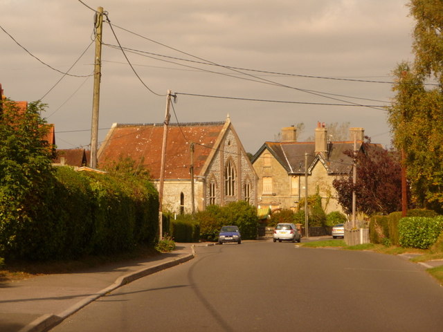
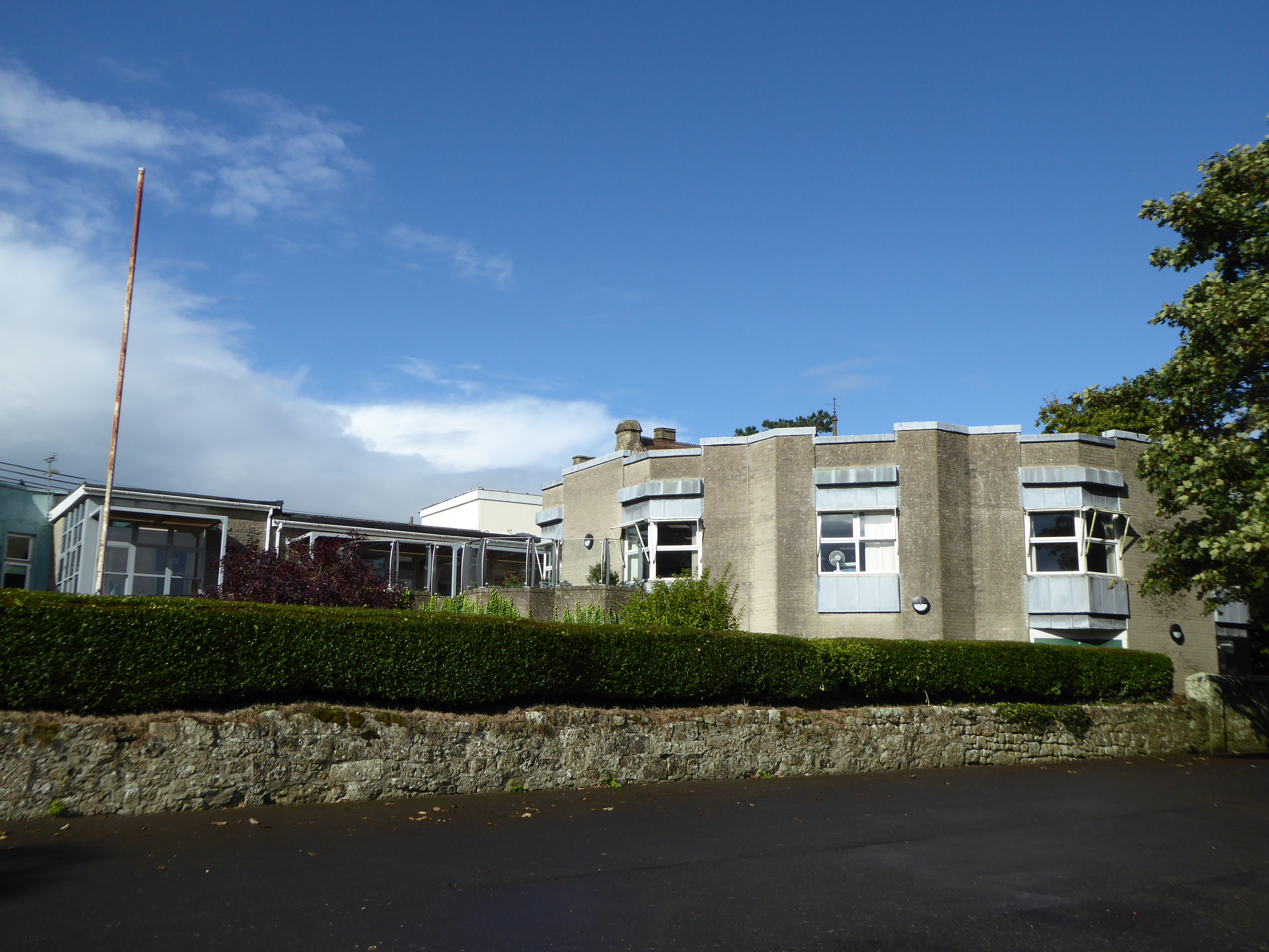
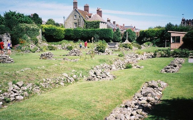
Ryalls Plantation Images
Images are sourced within 2km of 51.017737/-2.2130796 or Grid Reference ST8524. Thanks to Geograph Open Source API. All images are credited.
Ryalls Plantation is located at Grid Ref: ST8524 (Lat: 51.017737, Lng: -2.2130796)
Unitary Authority: Dorset
Police Authority: Dorset
What 3 Words
///vowel.takes.booklets. Near Motcombe, Dorset
Related Wikis
Port Regis School
Port Regis School is a co-educational preparatory school located in 140 acres of parkland on the Dorset-Wiltshire border in southern England, situated...
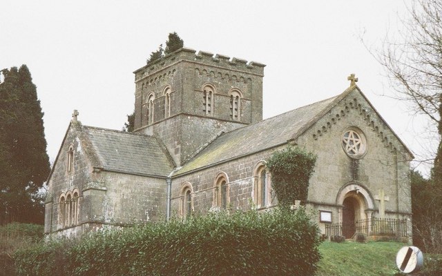
St John's Church, Enmore Green
St John's Church is a Church of England parish church in Enmore Green, Dorset, England. The church was designed by George Alexander and built in 1842–43...
Motcombe
Motcombe is a village and civil parish in north Dorset, England. It lies about two miles (three kilometres) north of Shaftesbury. It is sited on Kimmeridge...
Westminster Memorial Hospital
The Westminster Memorial Hospital is a small community hospital in Shaftesbury, Dorset, England. It provides about 20 in-patient beds, a minor injuries...

North Dorset (UK Parliament constituency)
North Dorset is a constituency represented in the House of Commons of the UK Parliament since 2015 by Simon Hoare, a Conservative. == History == This seat...
Shaftesbury Abbey
Shaftesbury Abbey was an abbey that housed nuns in Shaftesbury, Dorset. It was founded in about 888, and dissolved in 1539 during the English Reformation...

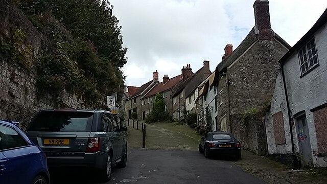
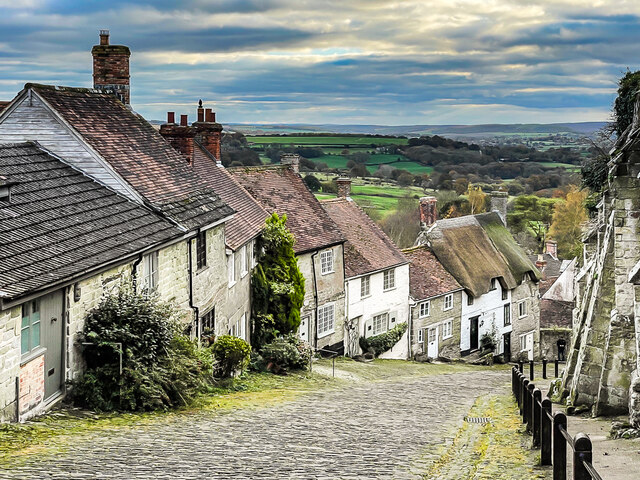
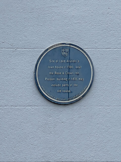
Shaftesbury
Shaftesbury () is a town and civil parish in Dorset, England. It is on the A30 road, 20 miles (32 kilometres) west of Salisbury and 19.4 miles (31 kilometres...

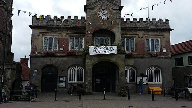
Shaftesbury Town Hall
Shaftesbury Town Hall is a municipal building in the High Street, Shaftesbury, Dorset, England. The town hall, which is the meeting place of Shaftsbury...
Nearby Amenities
Located within 500m of 51.017737,-2.2130796Have you been to Ryalls Plantation?
Leave your review of Ryalls Plantation below (or comments, questions and feedback).