Latchmore Pond
Lake, Pool, Pond, Freshwater Marsh in Dorset
England
Latchmore Pond
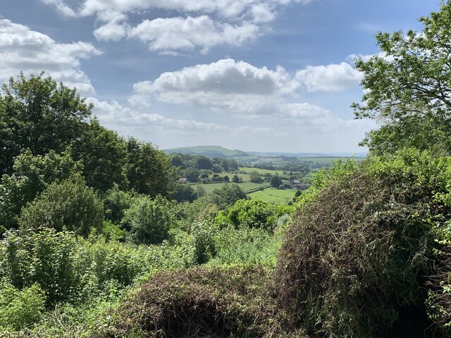
Latchmore Pond is a picturesque freshwater feature located in the heart of the New Forest National Park in Dorset, England. Spanning an area of approximately 2 hectares, it is classified as a pond but is often referred to as a lake due to its size and scenic beauty. The pond is nestled amidst a sprawling landscape of heathland, woodlands, and marshes, creating a unique ecosystem that is home to a diverse range of flora and fauna.
Surrounded by dense vegetation, Latchmore Pond is a tranquil oasis that attracts nature enthusiasts, birdwatchers, and walkers alike. The pond itself is fed by natural springs and rainfall, ensuring a constant supply of freshwater. Its crystal-clear waters shimmer under the sunlight, reflecting the vibrant colors of the surrounding foliage.
The diverse habitat surrounding Latchmore Pond supports a variety of plant species, including water lilies, reeds, and rushes. These plants provide shelter and food for a multitude of wildlife, making the pond a haven for many species. Birdlife is particularly abundant, with species such as herons, ducks, and kingfishers frequently spotted in and around the water. The marshy areas surrounding the pond are also home to frogs, newts, and a variety of insect species.
Latchmore Pond offers visitors a range of recreational activities. Fishing is a popular pastime, with anglers often seeking carp, tench, and roach. The tranquil atmosphere and scenic surroundings also make it an ideal spot for picnicking, nature photography, and simply enjoying the peaceful ambiance.
Overall, Latchmore Pond is a natural gem within the New Forest National Park, providing a haven for wildlife and a serene escape for visitors seeking solace in nature's beauty.
If you have any feedback on the listing, please let us know in the comments section below.
Latchmore Pond Images
Images are sourced within 2km of 51.015334/-2.2142945 or Grid Reference ST8524. Thanks to Geograph Open Source API. All images are credited.


Latchmore Pond is located at Grid Ref: ST8524 (Lat: 51.015334, Lng: -2.2142945)
Unitary Authority: Dorset
Police Authority: Dorset
What 3 Words
///splint.chiefs.pursuit. Near Motcombe, Dorset
Related Wikis
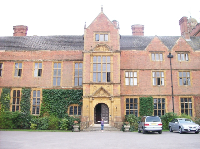
Port Regis School
Port Regis School is a co-educational preparatory school located in 140 acres of parkland on the Dorset-Wiltshire border in southern England, situated...
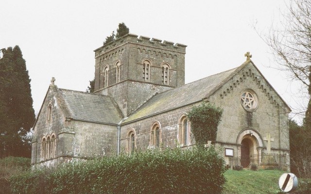
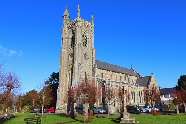
St John's Church, Enmore Green
St John's Church is a Church of England parish church in Enmore Green, Dorset, England. The church was designed by George Alexander and built in 1842–43...
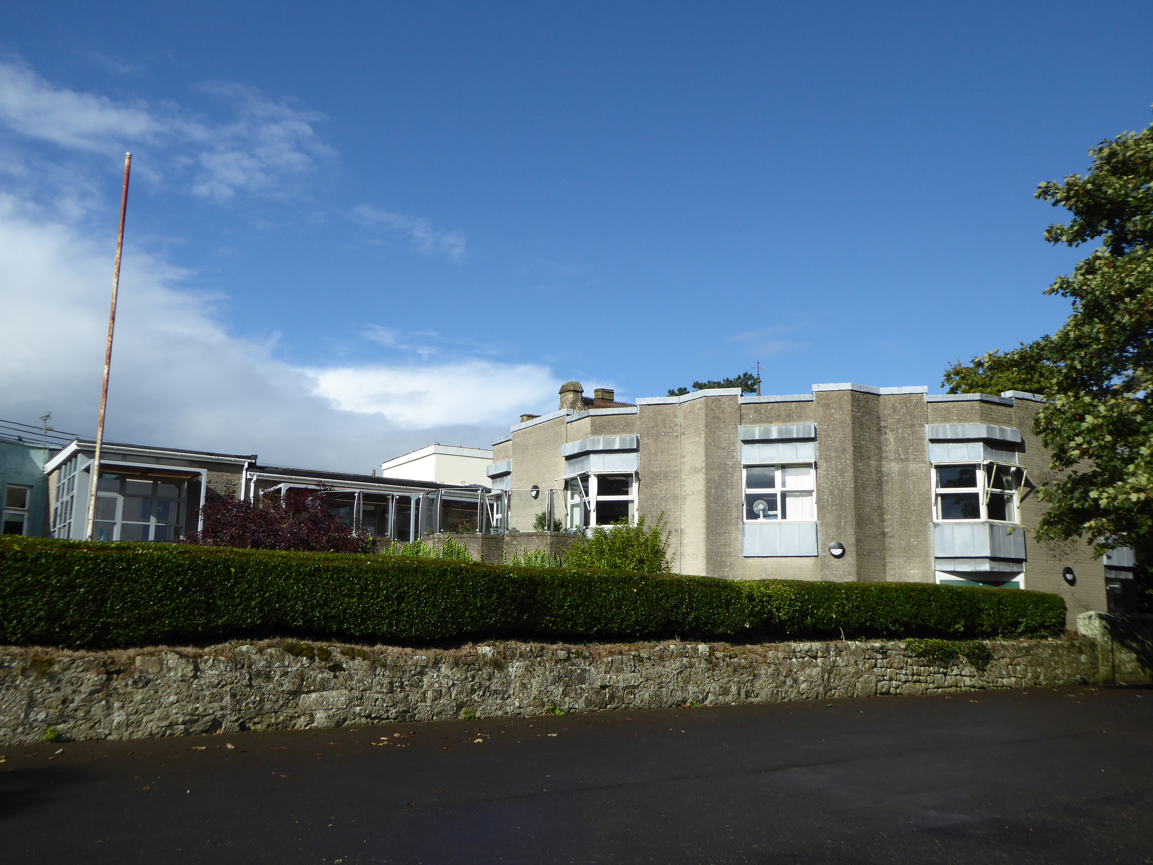
Westminster Memorial Hospital
The Westminster Memorial Hospital is a small community hospital in Shaftesbury, Dorset, England. It provides about 20 in-patient beds, a minor injuries...
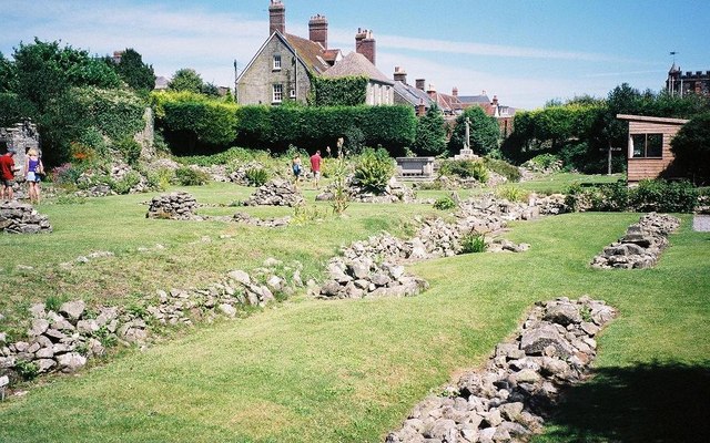
Shaftesbury Abbey
Shaftesbury Abbey was an abbey that housed nuns in Shaftesbury, Dorset. It was founded in about 888, and dissolved in 1539 during the English Reformation...

North Dorset (UK Parliament constituency)
North Dorset is a constituency represented in the House of Commons of the UK Parliament since 2015 by Simon Hoare, a Conservative. == History == This seat...

Shaftesbury
Shaftesbury () is a town and civil parish in Dorset, England. It is on the A30 road, 20 miles (32 kilometres) west of Salisbury and 19.4 miles (31 kilometres...

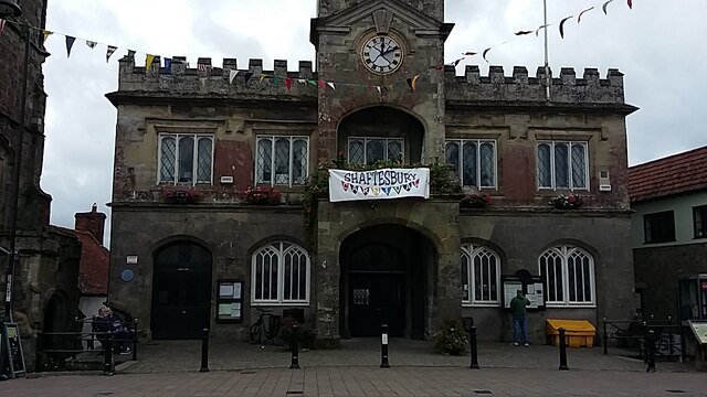
Shaftesbury Town Hall
Shaftesbury Town Hall is a municipal building in the High Street, Shaftesbury, Dorset, England. The town hall, which is the meeting place of Shaftsbury...
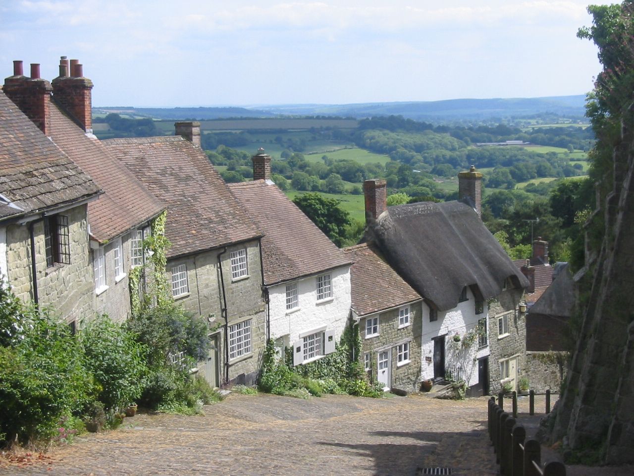
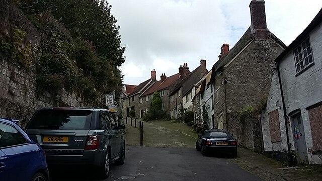
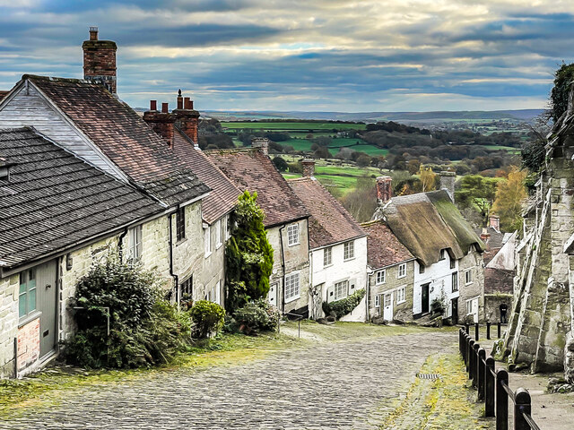
Gold Hill, Shaftesbury
Gold Hill is a steep cobbled street in the town of Shaftesbury in the English county of Dorset. The view looking down from the top of the street has been...
Nearby Amenities
Located within 500m of 51.015334,-2.2142945Have you been to Latchmore Pond?
Leave your review of Latchmore Pond below (or comments, questions and feedback).