Blackcrook Foot

Lake, Pool, Pond, Freshwater Marsh in Yorkshire

England

Blackcrook Foot

Lune Head Stone Circle
Lune Head Stone Circle Credit: Anthony Parkes

Blackcrook Foot is a picturesque freshwater marsh located in the serene countryside of Yorkshire, England. Situated amidst rolling hills and verdant landscapes, this natural gem captivates visitors with its tranquil beauty.

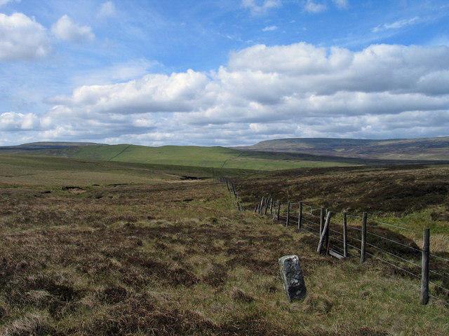
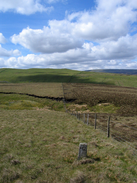
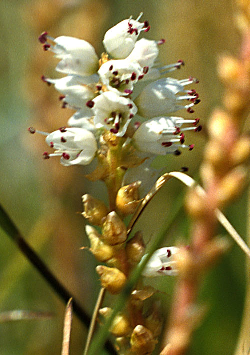
Covering an area of approximately 20 acres, Blackcrook Foot is a haven for various aquatic flora and fauna. The marsh is primarily fed by natural springs and rainfall, ensuring a constant supply of freshwater. The marsh is surrounded by dense vegetation, including reeds, rushes, and water lilies, which provide a thriving habitat for a diverse range of wildlife.

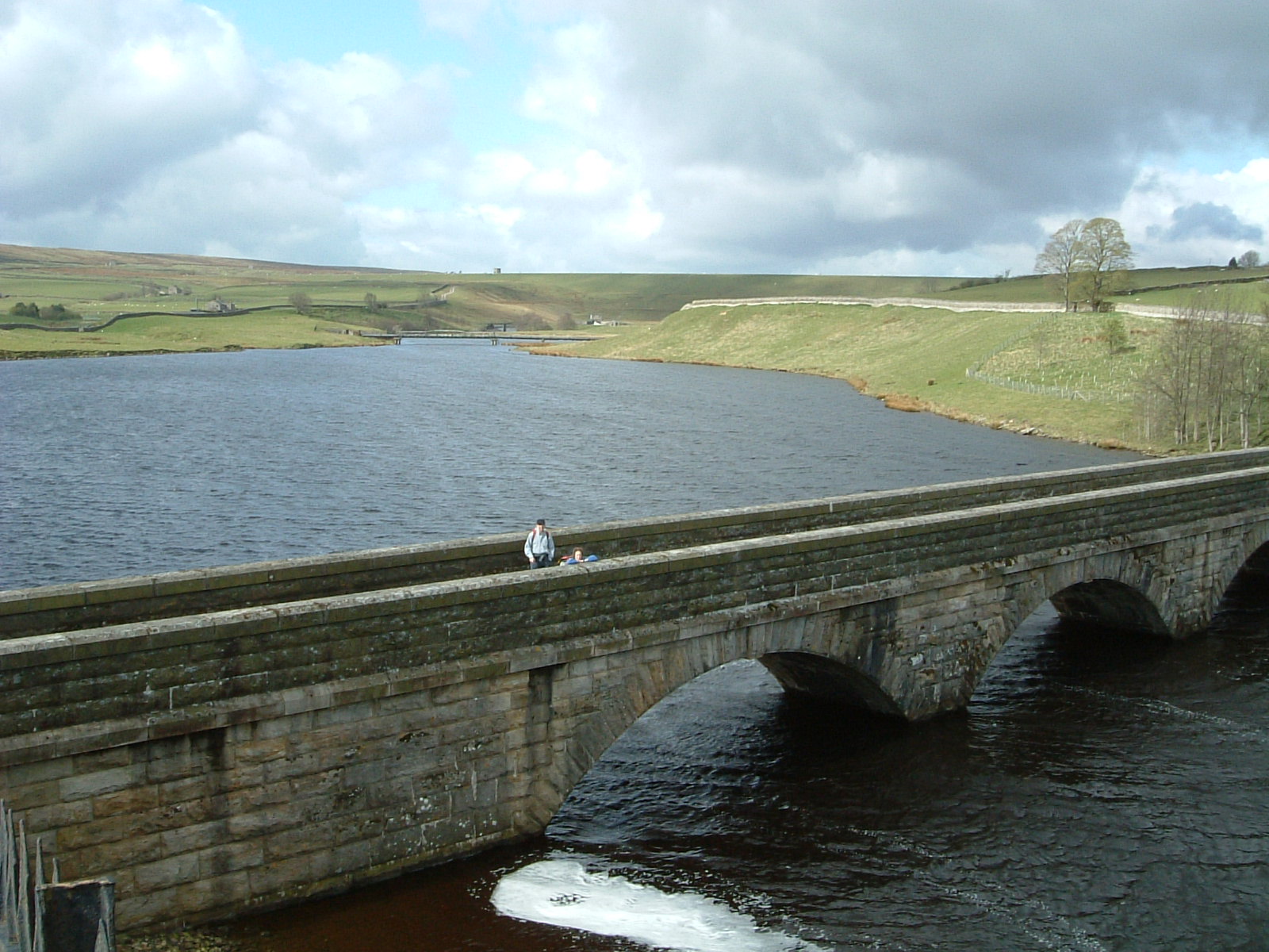
The centerpiece of Blackcrook Foot is a pristine lake, which spans across the marsh's heart. The lake's crystal-clear waters reflect the surrounding greenery, creating a mesmerizing sight for visitors. It is a popular spot for boating enthusiasts, who can be seen navigating the calm waters in rowboats or canoes.

The lake is also home to an array of fish species, such as perch, pike, and roach, making it a favorite destination for anglers. Fishing enthusiasts can cast their lines from the shore or rent a small boat to explore the deeper parts of the lake.

Adjacent to the lake, there is a smaller pool and pond, both teeming with abundant aquatic life. These smaller water bodies provide a breeding ground for amphibians, such as frogs and newts, adding to the marsh's ecological importance.

Blackcrook Foot, Yorkshire, offers a serene escape from the hustle and bustle of city life. Its lush marshland, pristine lake, and diverse wildlife make it a haven for nature lovers and a valuable ecosystem for the region.

If you have any feedback on the listing, please let us know in the comments section below.

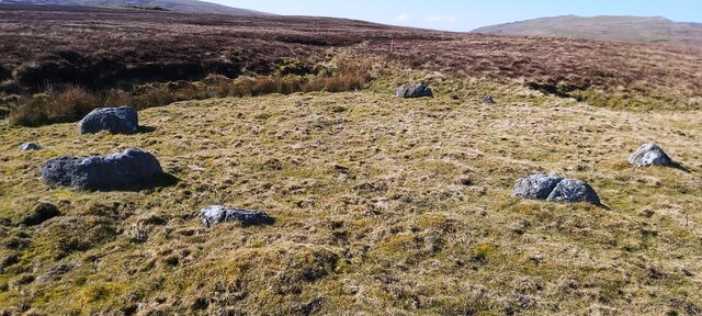
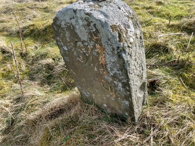
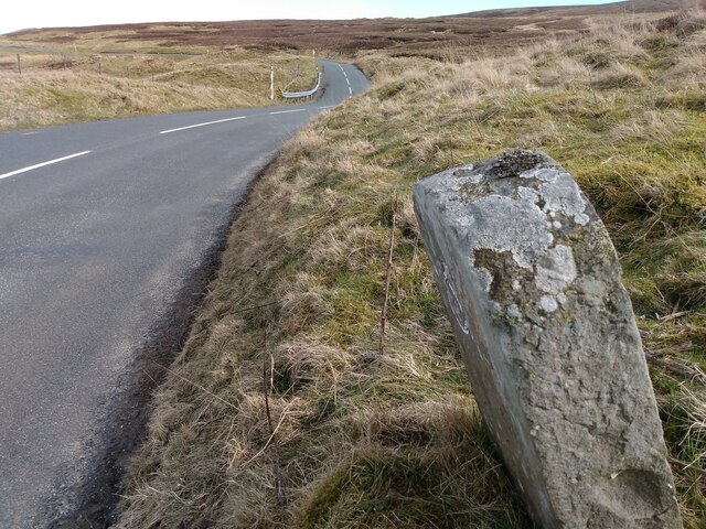
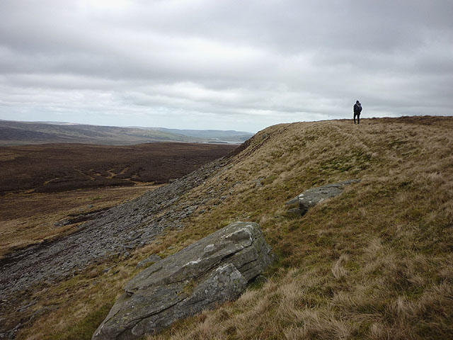
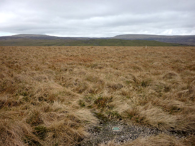
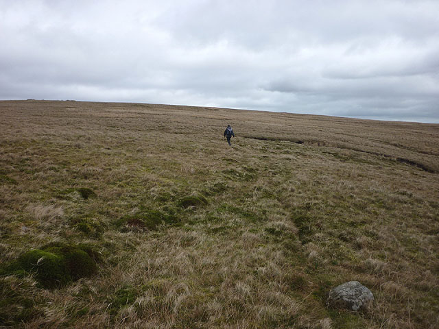
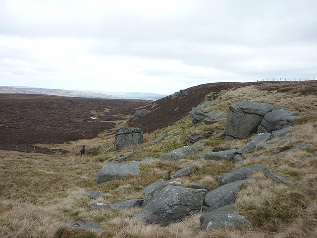
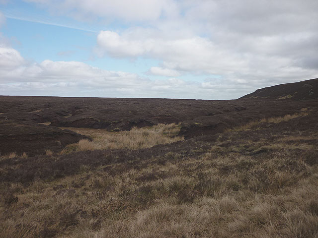
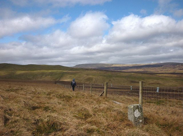
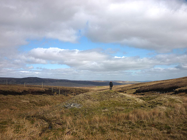
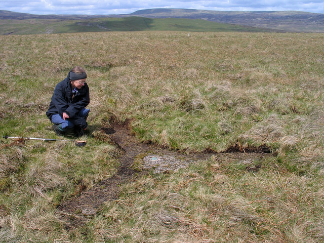
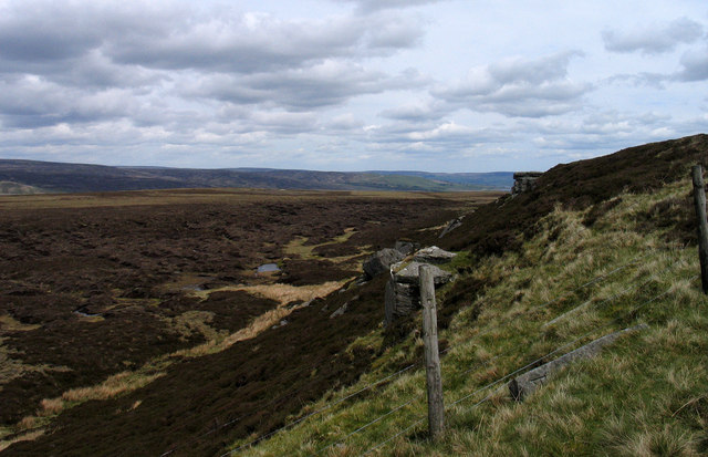
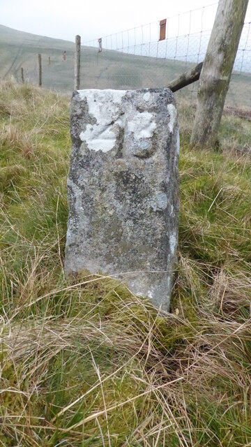
Blackcrook Foot Images

Images are sourced within 2km of 54.567009/-2.2327016 or Grid Reference NY8519. Thanks to Geograph Open Source API. All images are credited.

Lune Head Stone Circle
Old milestone A newer photo of the Brough 5 milestone on the B6276 towards Middleton in Teesdale just over the old border between Westmorland and North Yorkshire but now Cumbria and Co. Durham.  The stone is now leaning slightly forwards.   The worn legend reads 5 ML/(BROU)GH.   The abundance of white lichens shows how clear the air is on this hilly road.  The Brough and Middleton turnpike was operative from 1817 to 1873 and this stone will date from that period.
Old milestone
A newer photo of the Brough 5 milestone on the B6276 towards Middleton in Teesdale just over the old border between Westmorland and North Yorkshire but now Cumbria and Co. Durham. The stone is now leaning slightly forwards. The worn legend reads 5 ML/(BROU)GH. The abundance of white lichens shows how clear the air is on this hilly road. The Brough and Middleton turnpike was operative from 1817 to 1873 and this stone will date from that period.
Old milestone Travelling along the B6276 towards Middleton in Teesdale, empty moorland.   In the turnpike era no tarmacked surface but the route must have been important enough for trade across the hills.
Old milestone
Travelling along the B6276 towards Middleton in Teesdale, empty moorland. In the turnpike era no tarmacked surface but the route must have been important enough for trade across the hills.
West Dow Crag An escarpment with a scattering of gritstone boulders and scree at the eastern edge of Iron Band.
West Dow Crag
An escarpment with a scattering of gritstone boulders and scree at the eastern edge of Iron Band.
The curry stool trig mark on Iron Band We haven't seen one of these type of trig marks before but the OS say it's at 561.746m asl which is not the highest point on the hill (563m a little to the east). To the north west is Ley Seat (where we are heading later), overtopped by Little Fell (left) and Mickle Fell. The white stick is a marker for a grit tray for the grouse (it helps them digest their heather diet).
The curry stool trig mark on Iron Band
We haven't seen one of these type of trig marks before but the OS say it's at 561.746m asl which is not the highest point on the hill (563m a little to the east). To the north west is Ley Seat (where we are heading later), overtopped by Little Fell (left) and Mickle Fell. The white stick is a marker for a grit tray for the grouse (it helps them digest their heather diet).
Heading for Iron Band Fairly easy going over rough moorland grass on this side. In 2008 we abandoned an approach from the east due to deep heather and soft snow <a title="https://www.geograph.org.uk/photo/1312180" href="https://www.geograph.org.uk/photo/1312180">Link</a>
Heading for Iron Band
Fairly easy going over rough moorland grass on this side. In 2008 we abandoned an approach from the east due to deep heather and soft snow Link
Dow Crag A collection of gritstone boulders and outcrops possibly less impressive than its Lakeland namesake? The fence is the county boundary (Durham beyond, Cumbria this side)
Dow Crag
A collection of gritstone boulders and outcrops possibly less impressive than its Lakeland namesake? The fence is the county boundary (Durham beyond, Cumbria this side)
Moorland below Dow Crag Just inside County Durham!
Moorland below Dow Crag
Just inside County Durham!
The Cumbria Durham boundary Along the boundary there are regularly placed stones (this is number 40). We are just within Cumbria here (which has much less heather than County Durham) but will temporarily switch to the Durham side to ascend Ley Seat visible ahead. Above and beyond is Mickle Fell which is nowadays the highest point of County Durham but which used to reign supreme in Yorkshire (pre-1974 boundary changes when this would have been Westmorland and Yorkshire).
The Cumbria Durham boundary
Along the boundary there are regularly placed stones (this is number 40). We are just within Cumbria here (which has much less heather than County Durham) but will temporarily switch to the Durham side to ascend Ley Seat visible ahead. Above and beyond is Mickle Fell which is nowadays the highest point of County Durham but which used to reign supreme in Yorkshire (pre-1974 boundary changes when this would have been Westmorland and Yorkshire).
Boundary Shaft, Peaks Moss Sike There are many lead mine workings in this vicinity, mainly to the east in the headwaters of Lunedale. This is a fairly typical bell pit. I found some traces of galena (lead ore) in the spoil.
Boundary Shaft, Peaks Moss Sike
There are many lead mine workings in this vicinity, mainly to the east in the headwaters of Lunedale. This is a fairly typical bell pit. I found some traces of galena (lead ore) in the spoil.
Curry stool at Iron Band Iron Band is a moorland high point south-east of the B6276; it crosses the Pennine watershed between Brough and Teesdale.
A Curry stool is an OS feature named so after Corporal Curry of the Royal Engineers. The structure is made from concrete and is in the form of three arms meeting at a centre at angles of 120 degrees. Lying as they do at ground level Curry stools tend to become overgrown and concealed, at least in part as is this example - peat and vegetation were scuffed away by boots to reveal the feature as it was meant to be seen! Nine Curry Stools are known in the UK. and three of them are in the North Pennines; the two other Pennine examples are nearby on Herdship Fell and on Bink Moss.
Mickle Fell can be seen distantly to the north.
Curry stool at Iron Band
Iron Band is a moorland high point south-east of the B6276; it crosses the Pennine watershed between Brough and Teesdale. A Curry stool is an OS feature named so after Corporal Curry of the Royal Engineers. The structure is made from concrete and is in the form of three arms meeting at a centre at angles of 120 degrees. Lying as they do at ground level Curry stools tend to become overgrown and concealed, at least in part as is this example - peat and vegetation were scuffed away by boots to reveal the feature as it was meant to be seen! Nine Curry Stools are known in the UK. and three of them are in the North Pennines; the two other Pennine examples are nearby on Herdship Fell and on Bink Moss. Mickle Fell can be seen distantly to the north.
Dow Crag from county boundary The outcropping rocks of Dow Crag are seen from the fence line which marks the Cumbria/County Durham boundary. To the right of the central fence post can be seen a recumbent boundary stone, one of a line of many such stones that marked originally (here at least) the Westmorland/Yorkshire county boundary. The stones were all numbered, the one in view is number 34.
Dow Crag from county boundary
The outcropping rocks of Dow Crag are seen from the fence line which marks the Cumbria/County Durham boundary. To the right of the central fence post can be seen a recumbent boundary stone, one of a line of many such stones that marked originally (here at least) the Westmorland/Yorkshire county boundary. The stones were all numbered, the one in view is number 34.
Boundary stone No. 37 The boundary stone is one of a line of many such stones that marked originally (here at least) the Westmorland/Yorkshire county boundary; it's now the Cumbria/County Durham boundary. The stones are all numbered, the one in view is number 37. The green hill in the middle distance is Ley Seat; behind it is Little Fell and Mickle Fell is distant to the right.
Boundary stone No. 37
The boundary stone is one of a line of many such stones that marked originally (here at least) the Westmorland/Yorkshire county boundary; it's now the Cumbria/County Durham boundary. The stones are all numbered, the one in view is number 37. The green hill in the middle distance is Ley Seat; behind it is Little Fell and Mickle Fell is distant to the right.
Boundary stone No. 42 The boundary stone is one of a line of many such stones that marked originally (here at least) the Westmorland/Yorkshire county boundary; it's now the Cumbria/County Durham boundary. The stones are all numbered, the one in view being number 42. The green hill on the left skyline is Ley Seat; to the right and more distant is Mickle Fell.
Boundary stone No. 42
The boundary stone is one of a line of many such stones that marked originally (here at least) the Westmorland/Yorkshire county boundary; it's now the Cumbria/County Durham boundary. The stones are all numbered, the one in view being number 42. The green hill on the left skyline is Ley Seat; to the right and more distant is Mickle Fell.
Iron Band Bagging the curry stool and the summit from the B road wearing my wellies.
Name: Iron Band
Hill number: 3588
Height: 563m / 1847ft
Parent (Ma/M): 2711  Mickle Fell
Section: 35A: The Northern Pennines
Area: North Pennines - Western Fells
County/UA: Cumbria (CoU)
Class: Dewey
Grid ref: NY 83736 18802
Summit feature: no feature
Drop: 80m
Col: 483m  NY828197
Iron Band
Bagging the curry stool and the summit from the B road wearing my wellies. Name: Iron Band Hill number: 3588 Height: 563m / 1847ft Parent (Ma/M): 2711 Mickle Fell Section: 35A: The Northern Pennines Area: North Pennines - Western Fells County/UA: Cumbria (CoU) Class: Dewey Grid ref: NY 83736 18802 Summit feature: no feature Drop: 80m Col: 483m NY828197
Iron Band Curry Stool Bagging the curry stool and the summit from the B road near Deadman Gill Bridge. Walked in my wellies which kept my socks dry.
A curry stool is a type of survey mark used in peaty areas where a pillar would sink and natural rock was not available. The concrete, in the form of three arms meeting at a central point, sits on the peat and it was hoped to be a stable platform. They are named after Corporal Curry of the Royal Engineers.
Iron Band Curry Stool
Bagging the curry stool and the summit from the B road near Deadman Gill Bridge. Walked in my wellies which kept my socks dry. A curry stool is a type of survey mark used in peaty areas where a pillar would sink and natural rock was not available. The concrete, in the form of three arms meeting at a central point, sits on the peat and it was hoped to be a stable platform. They are named after Corporal Curry of the Royal Engineers.
Old Boundary Marker on Stainmore Common Estate Boundary Marker beside a wire fence on Stainmore Common 190 metres southeast of the B6276 towards Pind Hill. Inscribed 44. On the boundary of Stainmore parish, Westmorland, now Cumbria, and Lunedale parish, North Riding, now County Durham.

Milestone Society National ID: WE_CBDM044em
Old Boundary Marker on Stainmore Common
Estate Boundary Marker beside a wire fence on Stainmore Common 190 metres southeast of the B6276 towards Pind Hill. Inscribed 44. On the boundary of Stainmore parish, Westmorland, now Cumbria, and Lunedale parish, North Riding, now County Durham. Milestone Society National ID: WE_CBDM044em
Old Boundary Marker on Stainmore Common Estate Boundary Marker beside a wire fence on Stainmore Common 350 metres southeast of the B6276 towards Pind Hill. Inscribed 43. On the boundary of Stainmore parish, Westmorland, now Cumbria, and Lunedale parish, North Riding, now County Durham.

Milestone Society National ID: WE_CBDM043em
Old Boundary Marker on Stainmore Common
Estate Boundary Marker beside a wire fence on Stainmore Common 350 metres southeast of the B6276 towards Pind Hill. Inscribed 43. On the boundary of Stainmore parish, Westmorland, now Cumbria, and Lunedale parish, North Riding, now County Durham. Milestone Society National ID: WE_CBDM043em
Show me another place!

Blackcrook Foot is located at Grid Ref: NY8519 (Lat: 54.567009, Lng: -2.2327016)

Division: North Riding

Unitary Authority: County Durham

Police Authority: Durham

What 3 Words

///optimally.sedated.likening. Near Holwick, Co. Durham

Related Wikis

Foster's Hush

Foster's Hush is a Site of Special Scientific Interest in the Teesdale district of west County Durham, England. It is located in the valley of Lune Head...

Lune Forest

Lune Forest is a Site of Special Scientific Interest covering an extensive area of moorland in the Teesdale district of west Durham, England. In the north...

Grains o' th' Beck Meadows

Grains o' th' Beck Meadows is a Site of Special Scientific Interest in the Teesdale district of south-west County Durham, England. It consists of three...

Close House Mine

Close House Mine is a Site of Special Scientific Interest in the Teesdale district of west County Durham, England. It is a working opencast mine located...

Lunedale

Lunedale is the dale, or valley, of the River Lune, on the east side of the Pennines in England, west of Middleton-in-Teesdale. Its principal settlements...

A66 road

The A66 is a major road in Northern England, which in part follows the course of the Roman road from Scotch Corner to Penrith. It runs from east of Middlesbrough...

Stainmore

Stainmore is a remote geographic area in the Pennines on the border of Cumbria, County Durham and North Yorkshire. The name is used for a civil parish...

Battle of Stainmore

The Battle of Stainmore was probably fought between the Earldom of Bernicia, led by Oswulf, and the forces of the last Norse king of Jórvík (York), Eric...

Have you been to Blackcrook Foot?

Leave your review of Blackcrook Foot below (or comments, questions and feedback).