Woodclose

Wood, Forest in Dorset

England

Woodclose

Birch trees beside Puddletown Road
Birch trees beside Puddletown Road Credit: JThomas

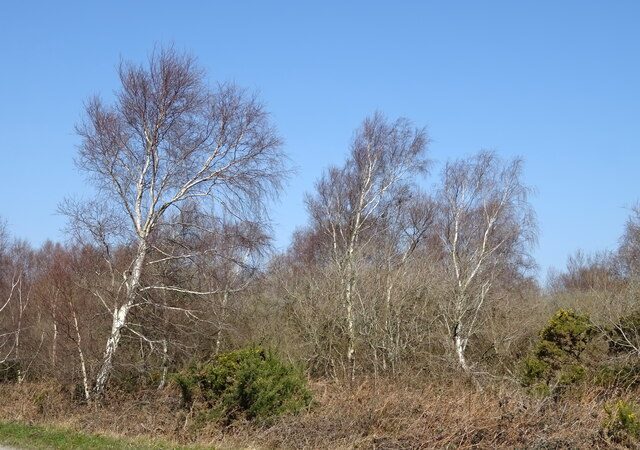
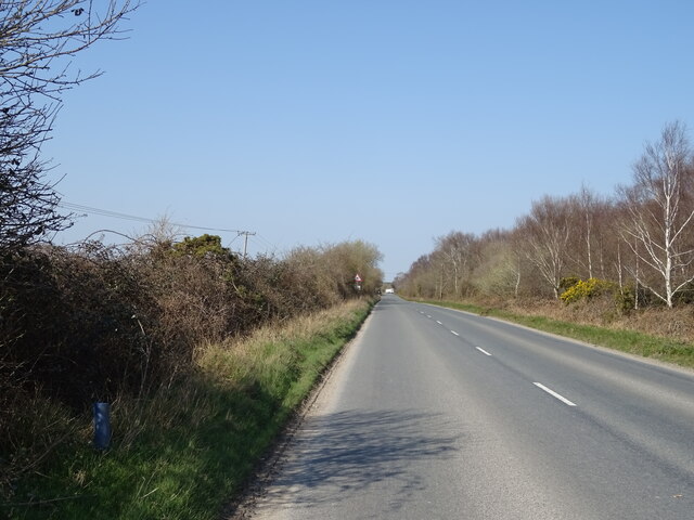
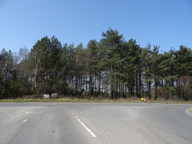
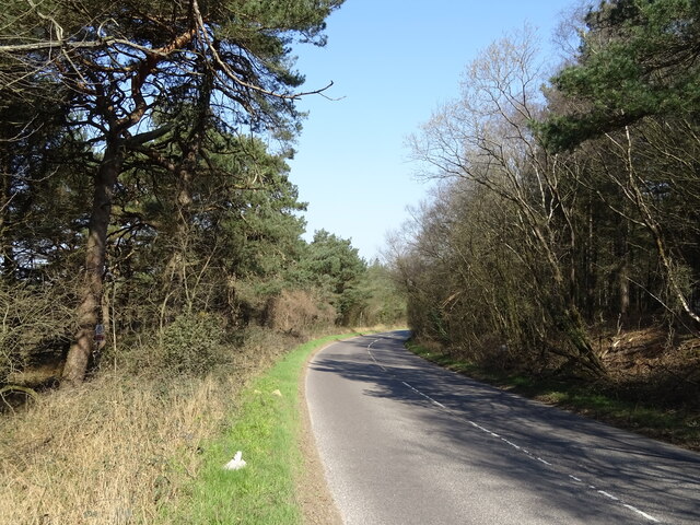
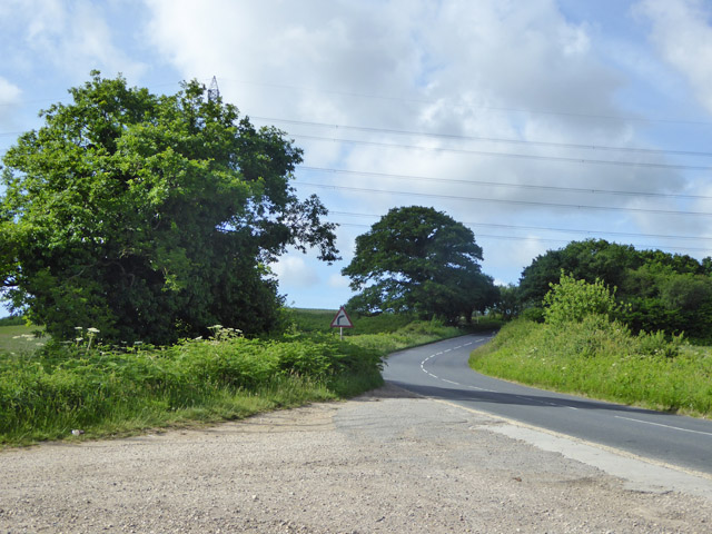
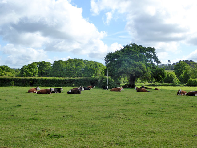
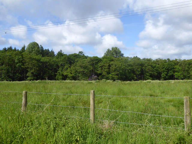
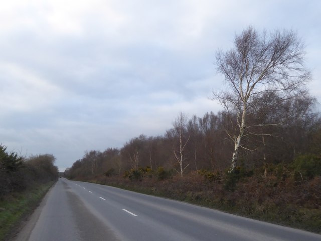
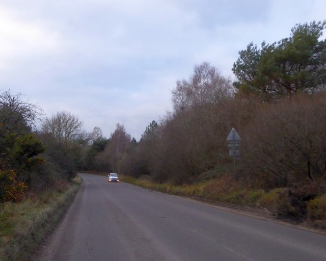
Woodclose is a small village located in the picturesque county of Dorset, England. Situated amidst a lush forest, it gets its name from the abundance of woodlands that surround it. The village is known for its tranquil and idyllic setting, making it a popular destination for nature enthusiasts and those seeking a peaceful retreat.

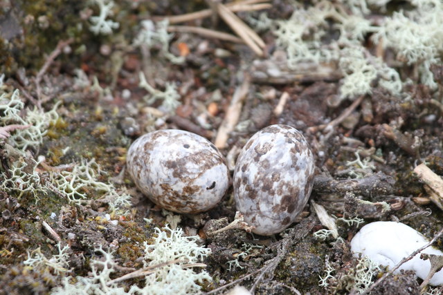
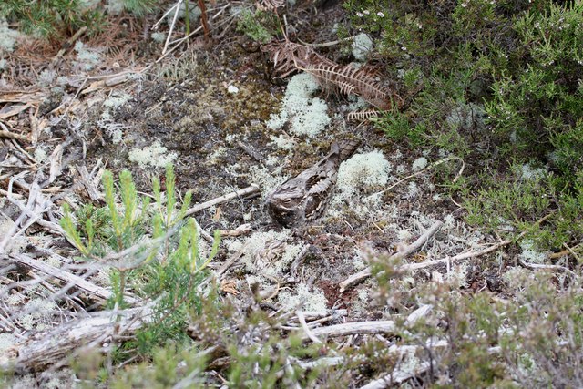
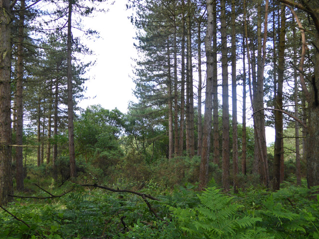
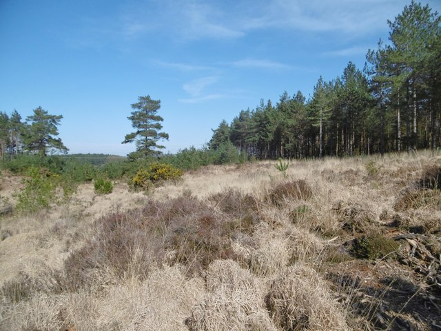
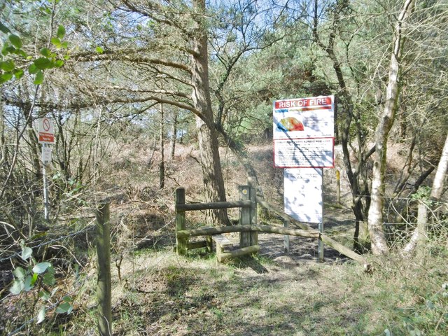
The forested landscape of Woodclose offers a myriad of opportunities for outdoor activities. With numerous walking trails and paths, visitors can explore the enchanting woods and discover the diverse flora and fauna that call this place home. The forest is also home to a variety of bird species, making it a haven for birdwatchers and nature photographers.

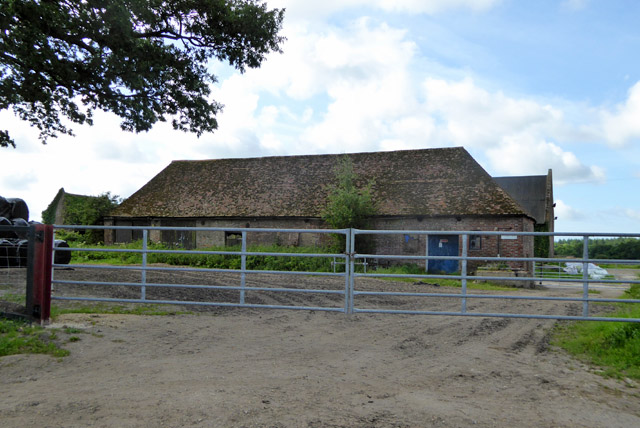
In addition to its natural beauty, Woodclose is also home to a small, close-knit community. The village itself is characterized by charming cottages, some of which date back several centuries, giving it a timeless and traditional atmosphere. The locals are known for their friendliness and warm hospitality, making visitors feel welcome and part of the community.

While Woodclose may be a quiet village, it is not lacking in amenities. The village has a local pub, where residents and visitors alike can enjoy a pint of traditional ale or indulge in a hearty meal. There are also a few small shops and a village hall, which serves as a hub for community events and gatherings.

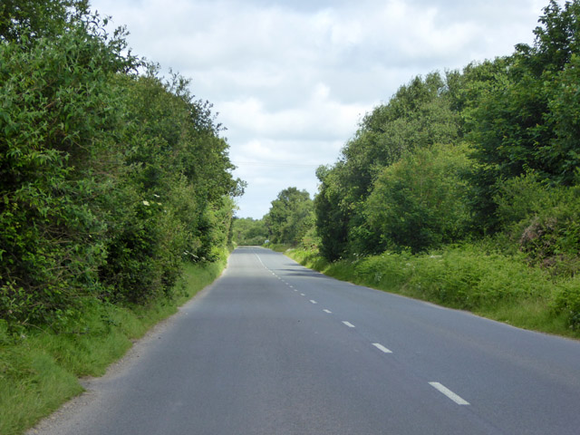
Overall, Woodclose offers a serene and picturesque escape from the hustle and bustle of modern life. With its enchanting forested landscape and welcoming community, it is a place where one can truly unwind and reconnect with nature.

If you have any feedback on the listing, please let us know in the comments section below.

Woodclose Images

Images are sourced within 2km of 50.717033/-2.2008187 or Grid Reference SY8590. Thanks to Geograph Open Source API. All images are credited.

Birch trees beside Puddletown Road
Puddletown Road
Puddletown Road
Woodland near Bovington Camp
Minor road towards Bere Regis
Nightjar eggs, Philliols Heath Whilst trying to get a better vantage point to photograph a buzzard, I was surprised by a nightjar erupting from the heather just in front of me. To my astonishment, there in the place where the bird had been, were two very well camouflaged eggs. I didn't want to disturb the bird any more than I had already done so but I just had to get a shot of the bird itself...
Nightjar eggs, Philliols Heath
Whilst trying to get a better vantage point to photograph a buzzard, I was surprised by a nightjar erupting from the heather just in front of me. To my astonishment, there in the place where the bird had been, were two very well camouflaged eggs. I didn't want to disturb the bird any more than I had already done so but I just had to get a shot of the bird itself...
Nightjar, Philliols Heath Having disturbed the bird on its eggs the previous day I returned the following day to try to get a pic of the bird itself. This time I stayed about 10 feet away. The bird was virtually invisible due to its camouflaged plumage; although it appears to be dozing with just a tiny slit of eye visible, this is simply a further attempt by the bird to become invisible; it is actually wide awake but hiding its very dark and very visible eyes.
Nightjar, Philliols Heath
Having disturbed the bird on its eggs the previous day I returned the following day to try to get a pic of the bird itself. This time I stayed about 10 feet away. The bird was virtually invisible due to its camouflaged plumage; although it appears to be dozing with just a tiny slit of eye visible, this is simply a further attempt by the bird to become invisible; it is actually wide awake but hiding its very dark and very visible eyes.
Road towards Wool Looking from the end of Warren Road, unmade, and just a bridleway for the public.
Road towards Wool
Looking from the end of Warren Road, unmade, and just a bridleway for the public.
Cattle, Bere Heath A field sloping gently down to the Bere Stream.
Cattle, Bere Heath
A field sloping gently down to the Bere Stream.
Barn, Philliols Farm Not nationally listed, but the barn just showing behind it is grade II.
Barn, Philliols Farm
Not nationally listed, but the barn just showing behind it is grade II.
Woodland, River Piddle valley Looking across one of the strands of the Piddle, hidden by lush vegetation, but marked by the line of a white umbellifer.
Woodland, River Piddle valley
Looking across one of the strands of the Piddle, hidden by lush vegetation, but marked by the line of a white umbellifer.
Puddletown Road Higher Hyde Heath nature reserve is to the right.
Puddletown Road
Higher Hyde Heath nature reserve is to the right.
Woodland bordering military training area Associated with Bovington Camp.
Woodland bordering military training area
Associated with Bovington Camp.
Bare silver birches by Puddletown Road On the edge of Higher Hyde Heath nature reserve
Bare silver birches by Puddletown Road
On the edge of Higher Hyde Heath nature reserve
Warning on the road south from Gallows Hill A necessary warning of hidden dips on a long straight (and generally level) road
Warning on the road south from Gallows Hill
A necessary warning of hidden dips on a long straight (and generally level) road
Road to Clouds Hill Running west from the junction on Gallows Hill
Road to Clouds Hill
Running west from the junction on Gallows Hill
Old Boundary Marker on Bloxworth Heath, Bloxworth parish Parish Boundary Marker in parish of Bloxworth (Purbeck District), Bloxworth Heath, 30m Southwest of forestry road overlooking wet grassland, on patch of dry heathland.

Surveyed

Milestone Society National ID: DO_BLXEST01pb
Old Boundary Marker on Bloxworth Heath, Bloxworth parish
Parish Boundary Marker in parish of Bloxworth (Purbeck District), Bloxworth Heath, 30m Southwest of forestry road overlooking wet grassland, on patch of dry heathland. Surveyed Milestone Society National ID: DO_BLXEST01pb
Chamberlayne's Heath Dry or moist heathland, most of it on the Bovington Training Area North.
Chamberlayne's Heath
Dry or moist heathland, most of it on the Bovington Training Area North.
Chamberlayne's Heath, stile At the eastern entrance to the path across the military training area.
Chamberlayne's Heath, stile
At the eastern entrance to the path across the military training area.
Show me another place!

Woodclose is located at Grid Ref: SY8590 (Lat: 50.717033, Lng: -2.2008187)

Unitary Authority: Dorset

Police Authority: Dorset

What 3 Words

///clockwork.remix.bandwagon. Near Bovington Camp, Dorset

Nearby Locations

Woodclose

Related Wikis

Bere Stream

Bere Stream (grid reference SY860926) is an 11.2 hectare biological Site of Special Scientific Interest in Dorset, notified in 1977. == Sources == English...

Wareham Forest

Wareham Forest is an area of countryside in Dorset, England, consisting of open heathland, including Decoy Heath and Gore Heath, and plantations of conifers...

Monkey World

The Monkey World Ape Rescue Centre is a 65-acre (26.3 ha) ape and monkey sanctuary, rescue centre and primatarium near Wool, Dorset, England. == History... ==

Turners Puddle

Turners Puddle is a village and former civil parish, now in the parish of Affpuddle and Turnerspuddle, in the Dorset district, in the ceremonial county...

Nearby Amenities

Located within 500m of 50.717033,-2.2008187
Power: pole
Source: bing
Lat/Long: 50.7147692/-2.1955732
Power: pole
Source: bing
Lat/Long: 50.7153152/-2.1972938
Power: pole
Source: bing
Lat/Long: 50.7150264/-2.1963939
The data included in this document is from www.openstreetmap.org. The data is made available under ODbL.

Have you been to Woodclose?

Leave your review of Woodclose below (or comments, questions and feedback).