Thanet Lee Wood
Wood, Forest in Lancashire Burnley
England
Thanet Lee Wood

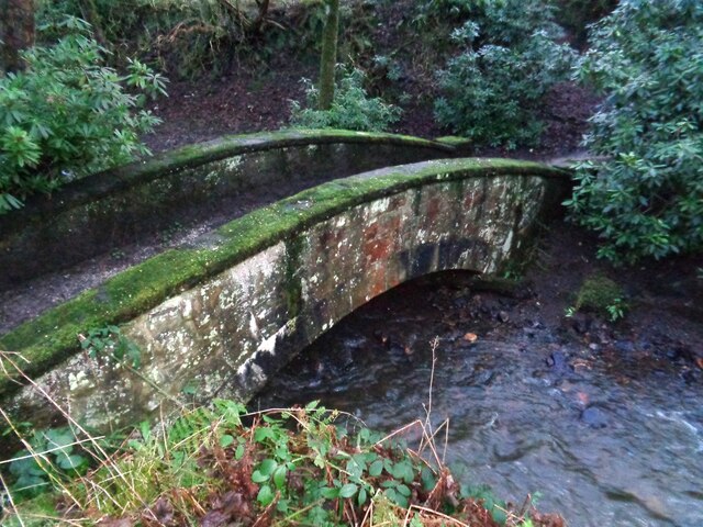
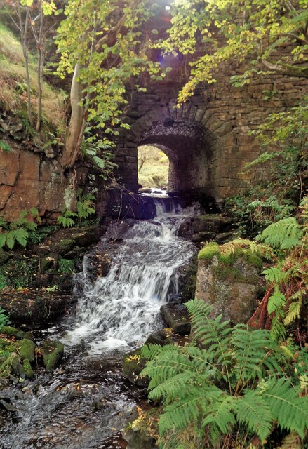
Thanet Lee Wood is a small forest located in the county of Lancashire, England. The forest covers an area of approximately 45 hectares and is situated near the village of Wood. It is a popular destination for nature lovers and outdoor enthusiasts due to its picturesque surroundings and rich biodiversity.
The forest is characterized by a mix of deciduous and coniferous trees, including oak, beech, and pine. These trees provide a diverse habitat for a variety of wildlife, such as birds, squirrels, and deer. Additionally, the forest is home to several species of wildflowers and plants, adding to its natural beauty.
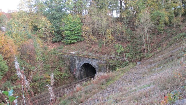
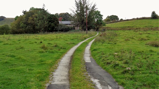
Thanet Lee Wood offers a range of recreational activities for visitors. There are well-maintained walking trails that wind through the forest, allowing visitors to explore its enchanting landscapes. The trails are suitable for all levels of fitness and offer opportunities for both leisurely strolls and more challenging hikes.
Picnic areas and benches are scattered throughout the forest, providing a perfect spot for visitors to relax and enjoy the tranquility of nature. The forest also has a designated area for camping, allowing visitors to spend a night under the stars surrounded by the peaceful ambiance of the wood.
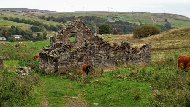
Overall, Thanet Lee Wood is a hidden gem in Lancashire, offering a serene escape from the hustle and bustle of everyday life. It is a place where visitors can immerse themselves in nature, appreciate its beauty, and enjoy a range of outdoor activities.
If you have any feedback on the listing, please let us know in the comments section below.
Thanet Lee Wood Images
Images are sourced within 2km of 53.771079/-2.2157857 or Grid Reference SD8530. Thanks to Geograph Open Source API. All images are credited.


Thanet Lee Wood is located at Grid Ref: SD8530 (Lat: 53.771079, Lng: -2.2157857)
Administrative County: Lancashire
District: Burnley
Police Authority: Lancashire
What 3 Words
///jams.park.trash. Near Burnley, Lancashire
Nearby Locations
Related Wikis

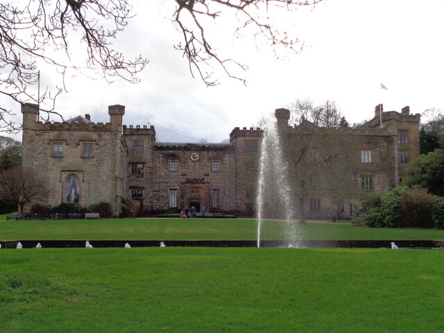
Towneley Park
Towneley Park is owned and managed by Burnley Borough Council and is the largest and most popular park in Burnley, Lancashire, England. The main entrance...

Cliviger
Cliviger is a civil parish in the Borough of Burnley, in Lancashire, England. It is situated to the southeast of Burnley, and northwest of Todmorden....

Towneley Colliery
Towneley Colliery or Towneley Desmesne was a coal mine on the Burnley Coalfield in Burnley, Lancashire, England. Sunk in the late 1860s, it was linked...

Unity College, Burnley
Unity College is a mixed 11-16 comprehensive school in Burnley, Lancashire, England. == History == === Former school === Towneley High School originally...

Towneley railway station
Towneley railway station was a station in Lancashire which served Burnley Wood and the nearby Towneley Hall on the eastern edge of Burnley. Opened on 12...

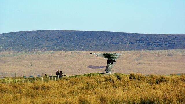
Singing Ringing Tree (sculpture)
The Singing Ringing Tree is a wind powered sound sculpture resembling a tree set in the landscape of the Pennine hill range overlooking Burnley, in Lancashire...

Burnley Wood
Burnley Wood is a district and former electoral ward of Burnley, Lancashire. In broad terms the area lies between Parliament Street in the north and Hufling...
Fother Royd Wood
Fother Royd Wood is a woodland in Lancashire, England, near Worsthorne. It covers a total area of 1.03 hectares (2.55 acres). It is owned and managed by...
Nearby Amenities
Located within 500m of 53.771079,-2.2157857Have you been to Thanet Lee Wood?
Leave your review of Thanet Lee Wood below (or comments, questions and feedback).