Hargreaves Wood

Wood, Forest in Staffordshire Stafford

England

Hargreaves Wood

Plenty more to harrow Looking across this field towards Kingswood Bank. The tractor is harrowing the field, working towards the camera.
Plenty more to harrow Credit: Rich Tea

Hargreaves Wood is a picturesque forest located in Staffordshire, England. Covering an area of approximately 100 acres, it is a popular destination for nature enthusiasts and outdoor lovers. The wood is situated near the village of Hargreaves and is easily accessible by car or on foot.

The woodland is predominantly composed of native broadleaf trees, such as oak, birch, and beech, creating a diverse and vibrant ecosystem. The dense canopy of these trees provides shade and shelter for a variety of wildlife, including birds, squirrels, and deer. Visitors to Hargreaves Wood can often spot these animals in their natural habitat, making it a great place for wildlife observation and photography.

The wood features a network of well-maintained walking trails, allowing visitors to explore its beauty at their own pace. These trails lead through the heart of the forest, passing by ancient trees, tranquil ponds, and meandering streams. There are also designated picnic areas, perfect for enjoying a packed lunch amidst the serene surroundings.

Throughout the year, Hargreaves Wood offers a constantly changing landscape, with vibrant displays of wildflowers in the spring and stunning autumn colors in the fall. The wood is also home to a variety of fungi, making it a popular spot for mushroom foragers during the appropriate seasons.

Managed by local authorities, Hargreaves Wood is a cherished natural resource for the community. Its peaceful ambiance and abundant wildlife make it an ideal destination for those seeking a tranquil escape into nature.

If you have any feedback on the listing, please let us know in the comments section below.

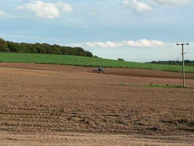
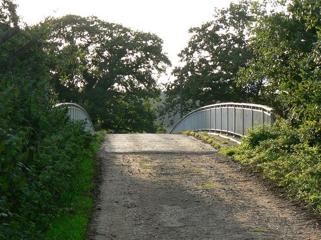
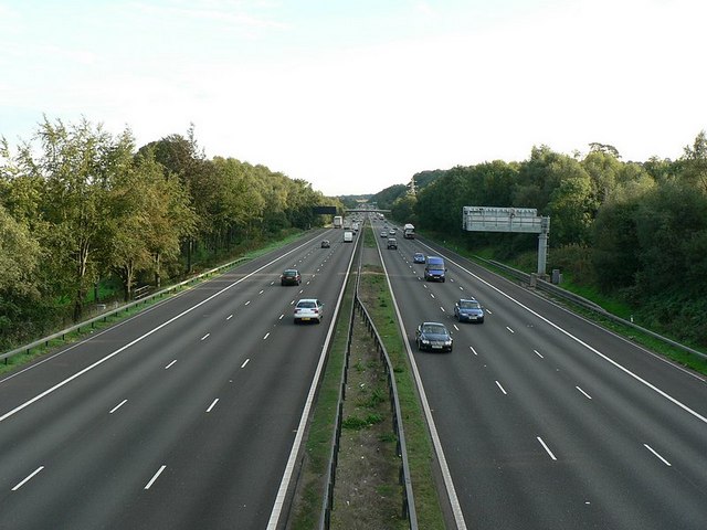
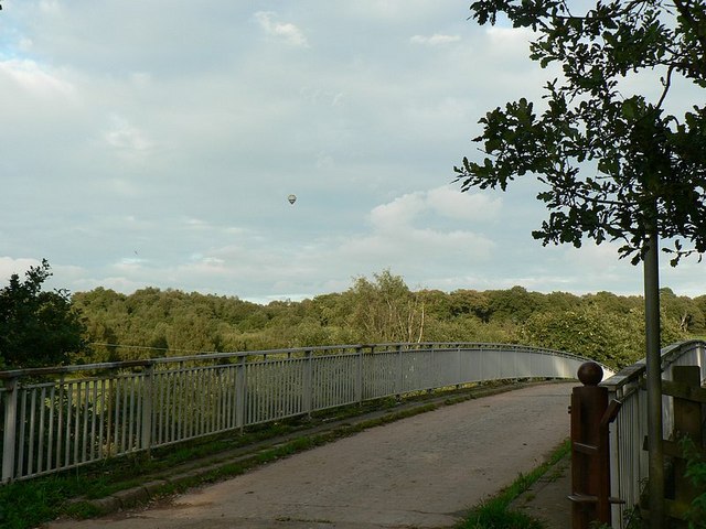
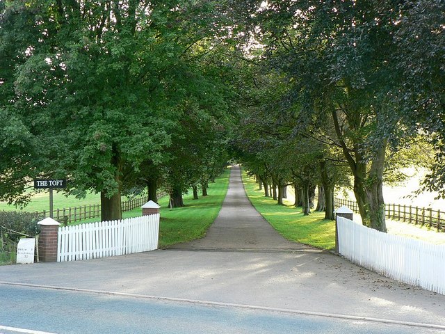
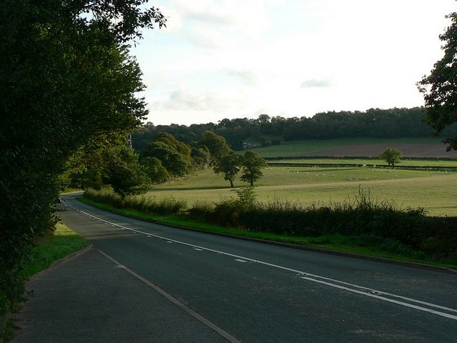
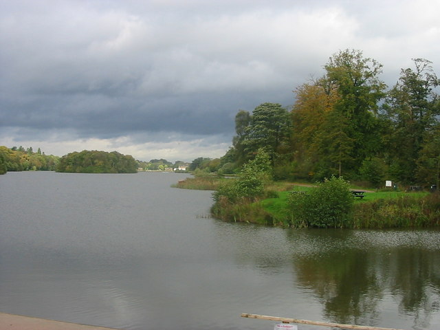
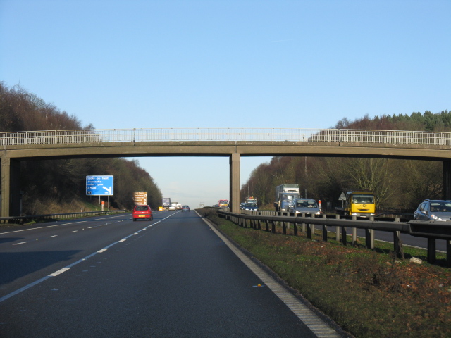
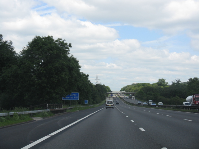
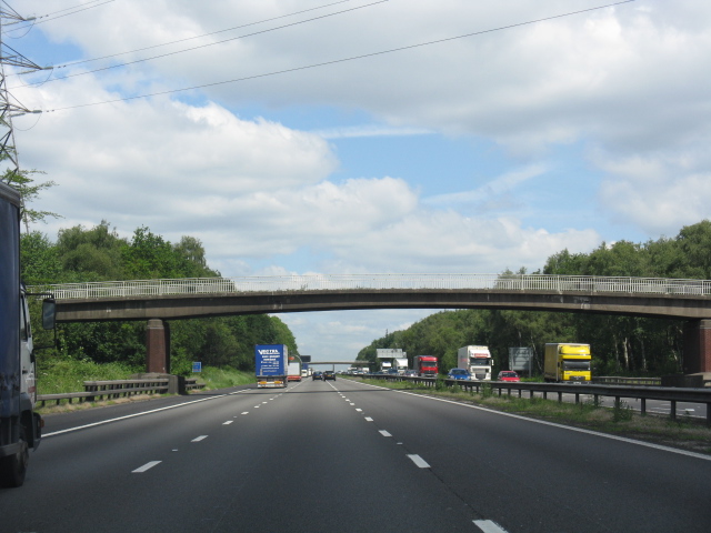
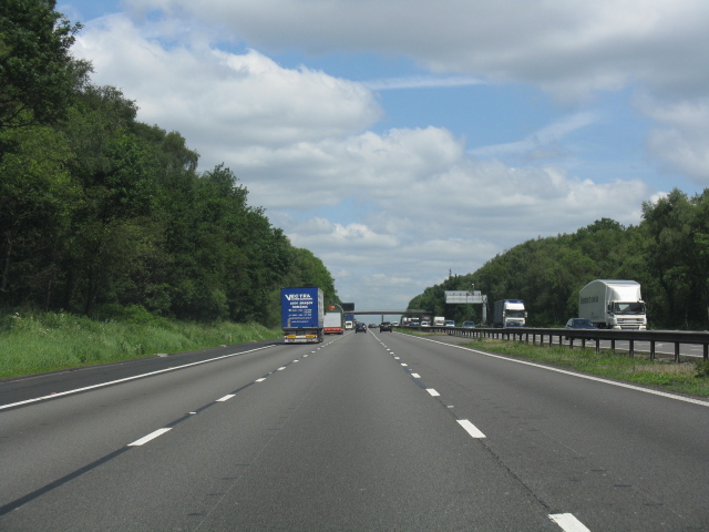
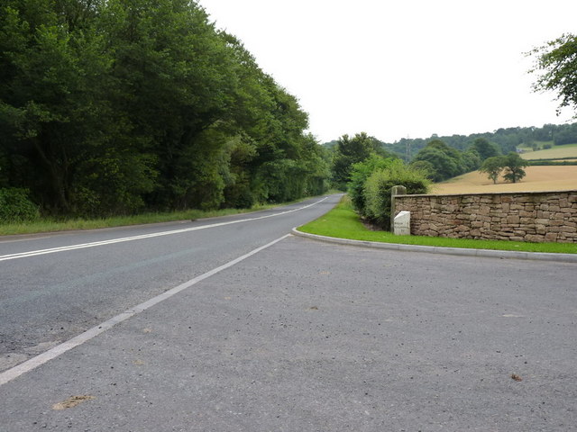
Hargreaves Wood Images

Images are sourced within 2km of 52.971045/-2.2118347 or Grid Reference SJ8541. Thanks to Geograph Open Source API. All images are credited.

Plenty more to harrow Looking across this field towards Kingswood Bank. The tractor is harrowing the field, working towards the camera.
Plenty more to harrow
Looking across this field towards Kingswood Bank. The tractor is harrowing the field, working towards the camera.
Bridge over the M6 This is the bridge just over a mile south of junction 15. It carries a track from the A519 towards Kings Wood.
Bridge over the M6
This is the bridge just over a mile south of junction 15. It carries a track from the A519 towards Kings Wood.
M6 looking south From the bridge <a href="https://www.geograph.org.uk/photo/250344">SJ8539 : Bridge over the M6</a>
M6 looking south
From the bridge SJ8539 : Bridge over the M6
Bridge over M6, with hot air balloon The bridge carries a lane from the A519 near The Toft towards Kings Wood
Bridge over M6, with hot air balloon
The bridge carries a lane from the A519 near The Toft towards Kings Wood
Stile to nowhere The bridge over the M6 has a gate which could swing across the entrance, the post is by the opposite rail. This stile should meet up with it, but the hinges seem to have seized up when I tried to move it.
See <a href="https://www.geograph.org.uk/photo/250670">SJ8539 : Bridge over M6, with hot air balloon</a>
Stile to nowhere
The bridge over the M6 has a gate which could swing across the entrance, the post is by the opposite rail. This stile should meet up with it, but the hinges seem to have seized up when I tried to move it. See SJ8539 : Bridge over M6, with hot air balloon
Entrance to The Toft By the A519.
Entrance to The Toft
By the A519.
The A519 From Eccleshall to Newcastle-under-Lyme
The A519
From Eccleshall to Newcastle-under-Lyme
Trentham Lake From the southern tip of Trentham Gardens lake close to the Monkey Park. In the distance can be seen the recently refurbished Italien Gardens and what remains of Trentham Hall.
Trentham Lake
From the southern tip of Trentham Gardens lake close to the Monkey Park. In the distance can be seen the recently refurbished Italien Gardens and what remains of Trentham Hall.
Lake at Trentham Gardens
Kings Wood behind Trentham Lake Get away from the crowds
Kings Wood behind Trentham Lake
Get away from the crowds
M6 Motorway - Overbridge Near Kingswood Bank The sign beyond the bridge indicates 1 mile to junction 15.
M6 Motorway - Overbridge Near Kingswood Bank
The sign beyond the bridge indicates 1 mile to junction 15.
M6 motorway - long straight near Knowl Wall From the distinct hump created by a bridge over a minor road, the 1960s alignment is dead straight for over a mile.
M6 motorway - long straight near Knowl Wall
From the distinct hump created by a bridge over a minor road, the 1960s alignment is dead straight for over a mile.
M6 motorway - overbridge at Knowl Wall
M6 motorway north of Knowl Wall A long climb northbound before the sharp, curving descent to junction 15 (Stoke South).
M6 motorway north of Knowl Wall
A long climb northbound before the sharp, curving descent to junction 15 (Stoke South).
M6 motorway - overbridge near The Toft
The Toft milepost in its setting I'd never noticed this milepost before, despite having driven up and down the A519 probably 150 times in the last few years. It sits at the entrance to The Toft, and may have been removed for safekeeping whilst the walls were built (formerly a picketfence - <a href="https://www.geograph.org.uk/photo/250894">SJ8539 : Entrance to The Toft</a>)
The Toft milepost in its setting
I'd never noticed this milepost before, despite having driven up and down the A519 probably 150 times in the last few years. It sits at the entrance to The Toft, and may have been removed for safekeeping whilst the walls were built (formerly a picketfence - SJ8539 : Entrance to The Toft)
The Toft milepost - detail
Footbridge over the M6 The M6 motorway runs from junction 19 of the M1 at the Catthorpe Interchange, near Rugby to the Gretna junction (J45). Here it becomes the A74(M) and M74 which continues to Glasgow.

The M6 is the longest motorway in the United Kingdom (232 miles) and one of the busiest. It incorporates the first length of motorway opened in the UK (the Preston bypass in 1958) and forms part of a motorway "Backbone of Britain", running north-south between London and Glasgow via the industrial north of England. It is also part of the east-west route between the Midlands and the east coast ports.
Footbridge over the M6
The M6 motorway runs from junction 19 of the M1 at the Catthorpe Interchange, near Rugby to the Gretna junction (J45). Here it becomes the A74(M) and M74 which continues to Glasgow. The M6 is the longest motorway in the United Kingdom (232 miles) and one of the busiest. It incorporates the first length of motorway opened in the UK (the Preston bypass in 1958) and forms part of a motorway "Backbone of Britain", running north-south between London and Glasgow via the industrial north of England. It is also part of the east-west route between the Midlands and the east coast ports.
Show me another place!

Hargreaves Wood is located at Grid Ref: SJ8541 (Lat: 52.971045, Lng: -2.2118347)

Administrative County: Staffordshire

District: Stafford

Police Authority: Staffordshire

What 3 Words

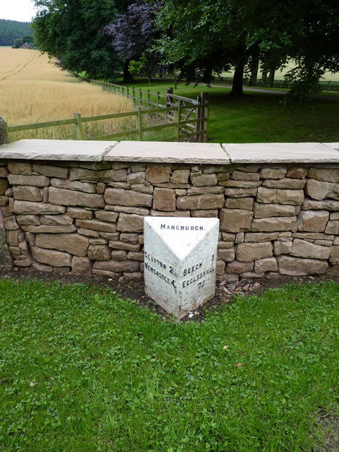
///armed.wider.pose. Near Newcastle under Lyme, Staffordshire

Related Wikis

Trentham Mausoleum

The Trentham Mausoleum is a Grade I listed mausoleum in Trentham, Stoke-on-Trent, built as the final resting place of the Dukes of Sutherland from the...
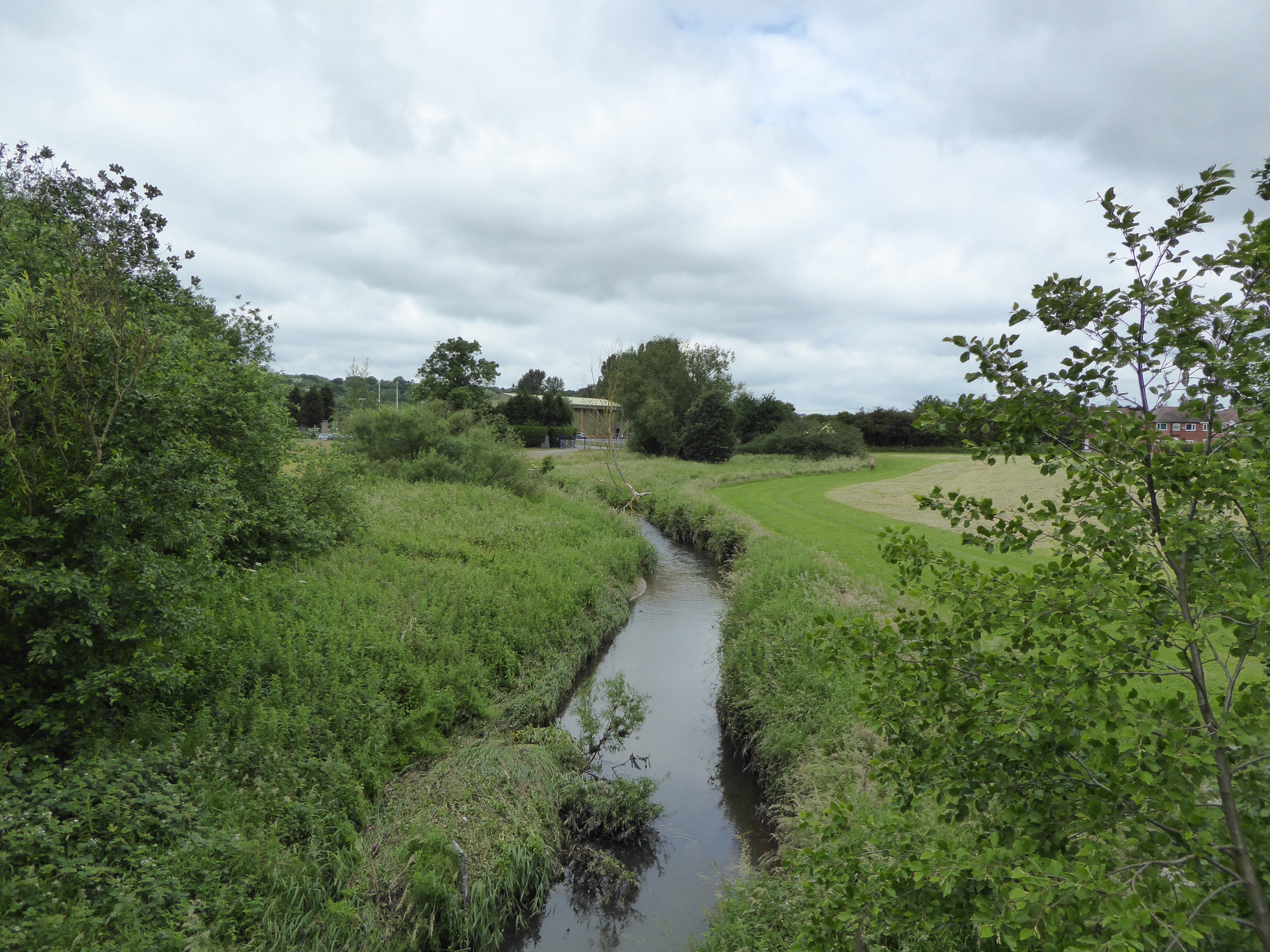
Lyme Brook

Lyme Brook is a tributary stream of the River Trent, which flows through Newcastle-under-Lyme, and the outlying areas of Stoke-on-Trent in Staffordshire...

Trentham Gardens railway station

Trentham Gardens railway station (originally named Trentham Park) was the last station built by the North Staffordshire Railway (NSR) and was the terminus...

Trentham Academy

Trentham Academy (formerly Trentham High School) is a coeducational secondary school located in the village of Trentham in Stoke-on-Trent, Staffordshire...

Hanford, Staffordshire

Hanford is an area in Stoke-on-Trent near to Trent Vale. == References ==

Trentham, Staffordshire

Trentham () is a suburb of the city of Stoke-on-Trent in North Staffordshire, England, south-west of the city centre and south of the neighbouring town...

Trent Vale

Trent Vale is a suburb located on the outskirts of Stoke-on-Trent in Staffordshire, England. It is bordered on the south by Hanford, to the west by Clayton...

Clayton, Staffordshire

Clayton is a suburb and a ward in the Newcastle-under-Lyme district, in the county of Staffordshire, England. == Today == Clayton lies on the boundary...

Nearby Amenities

Located within 500m of 52.971045,-2.2118347
Bus Stop
Fairway
Bus: yes
Naptan AtcoCode: 3800C793800
Naptan Bearing: SE
Naptan CommonName: Fairway
Naptan Indicator: Adj
Naptan Landmark: Fairway
Naptan PlusbusZoneRef: STOKEOT
Naptan Street: Whitmore Rd
Naptan Verified: no
Public Transport: platform
Source: naptan_import
Lat/Long: 52.9709857/-2.2086057
Bus Stop
Fairway
Bus: yes
Naptan AtcoCode: 3800C793801
Naptan Bearing: NW
Naptan CommonName: Fairway
Naptan Indicator: Opp
Naptan Landmark: Fairway
Naptan PlusbusZoneRef: STOKEOT
Naptan Street: Whitmore Rd
Naptan Verified: no
Public Transport: platform
Source: naptan_import
Lat/Long: 52.9708869/-2.2085904
Post Box
Brand: Royal Mail
Brand Wikidata: Q638098
Collection Times: Mo-Fr 18:00; Sa 09:00
Operator: Royal Mail
Operator Wikidata: Q638098
Post Box Type: pillar
Lat/Long: 52.9695515/-2.2054213
Turning Circle
Lat/Long: 52.9743899/-2.2146276
Waterway: waterfall
Lat/Long: 52.9686153/-2.2118465
Addr Housenumber: 2
Addr Street: The Fieldway
Lat/Long: 52.9683916/-2.2058523
Addr Housenumber: 19
Addr Street: The Fieldway
Lat/Long: 52.9680895/-2.2070592
Addr Housenumber: 6
Addr Street: The Fieldway
Lat/Long: 52.9681969/-2.2062425
Addr Housenumber: 17
Addr Street: The Fieldway
Lat/Long: 52.9679724/-2.2067682
Addr Housenumber: 4
Addr Street: The Fieldway
Lat/Long: 52.9682478/-2.2060079
Addr Housenumber: 8
Addr Street: The Fieldway
Lat/Long: 52.9682745/-2.2064786
Addr Housenumber: 10
Addr Street: The Fieldway
Lat/Long: 52.9683197/-2.2065979
Marker: yes
Utility: gas
Lat/Long: 52.9675929/-2.2100424
Barrier: cycle_barrier
Lat/Long: 52.9675864/-2.2103405
Power: pole
Lat/Long: 52.974173/-2.2116353
Power: pole
Lat/Long: 52.9734333/-2.2106858
Power: pole
Lat/Long: 52.9727355/-2.2095915
Power: pole
Lat/Long: 52.9721637/-2.2090389
Power: pole
Lat/Long: 52.9715596/-2.2082825
The data included in this document is from www.openstreetmap.org. The data is made available under ODbL.

Have you been to Hargreaves Wood?

Leave your review of Hargreaves Wood below (or comments, questions and feedback).