Coronation Plantation
Wood, Forest in Staffordshire Stafford
England
Coronation Plantation
Coronation Plantation is a picturesque woodland located in Staffordshire, England. Covering an area of approximately 100 acres, this enchanting forest is a popular destination for nature lovers and outdoor enthusiasts. The plantation is situated near the village of Wood, which adds to its charm and accessibility.
The woodland is characterized by a diverse mixture of trees, including oak, beech, and birch, creating a rich and vibrant landscape. The dense foliage provides a haven for various species of wildlife, making it an ideal spot for birdwatching and wildlife spotting. Visitors may be lucky enough to catch a glimpse of deer, foxes, and a multitude of bird species that call Coronation Plantation home.
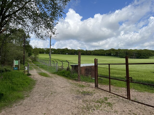
The forest is crisscrossed by a network of well-maintained trails, offering visitors the opportunity to explore the woodland at their own pace. Whether on foot, horseback, or bicycle, there is a route suitable for everyone. The trails wind through the forest, taking visitors past tranquil ponds, babbling brooks, and ancient trees, creating an atmosphere of tranquility and natural beauty.
In addition to its natural wonders, Coronation Plantation offers a range of recreational activities. There are designated picnic areas dotted throughout the woodland, providing the perfect setting for a family outing or a peaceful lunch amidst the beauty of nature. The plantation also features a children's play area, allowing young visitors to burn off some energy while enjoying the great outdoors.
Overall, Coronation Plantation in Staffordshire is a captivating woodland retreat that offers a myriad of opportunities for relaxation, exploration, and connection with nature.
If you have any feedback on the listing, please let us know in the comments section below.
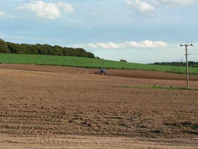
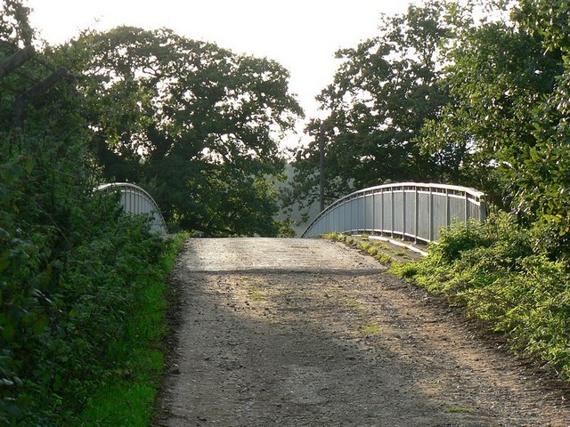
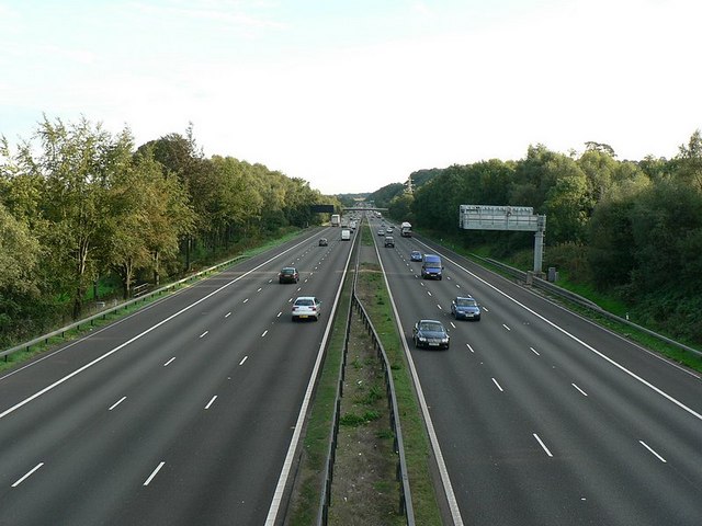
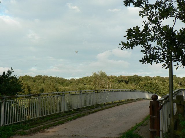
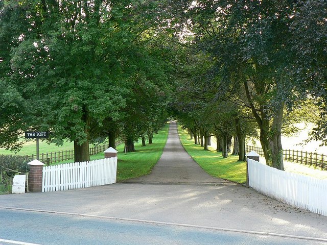
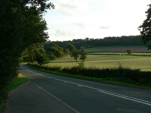
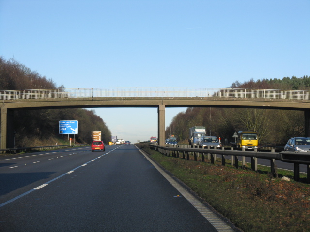
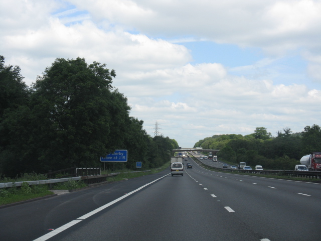
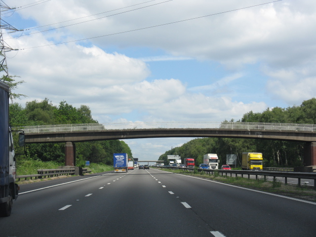
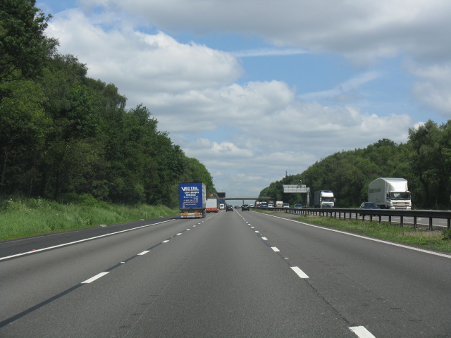
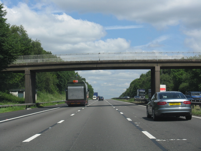
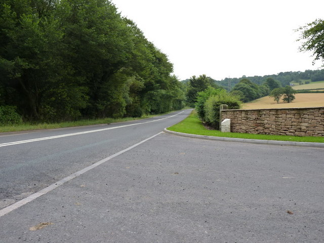
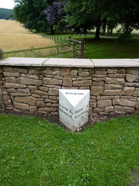
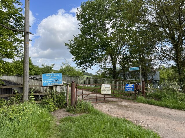
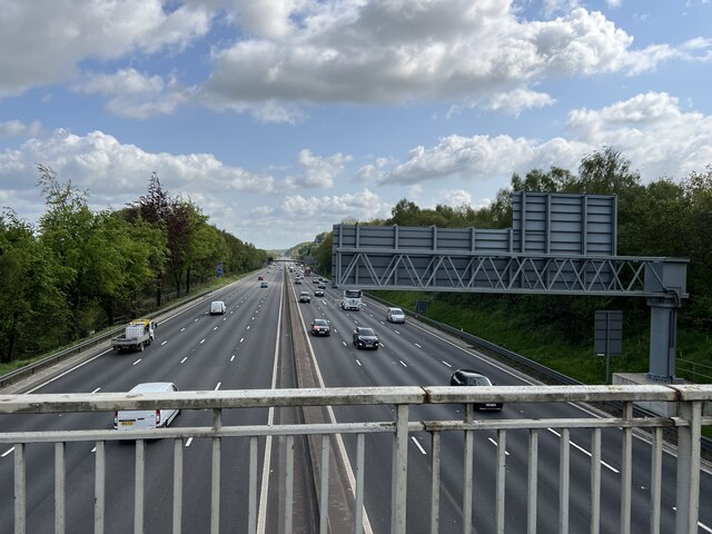
Coronation Plantation Images
Images are sourced within 2km of 52.972298/-2.2194352 or Grid Reference SJ8541. Thanks to Geograph Open Source API. All images are credited.


Coronation Plantation is located at Grid Ref: SJ8541 (Lat: 52.972298, Lng: -2.2194352)
Administrative County: Staffordshire
District: Stafford
Police Authority: Staffordshire
What 3 Words
///legs.lanes.noted. Near Newcastle under Lyme, Staffordshire
Nearby Locations
Related Wikis
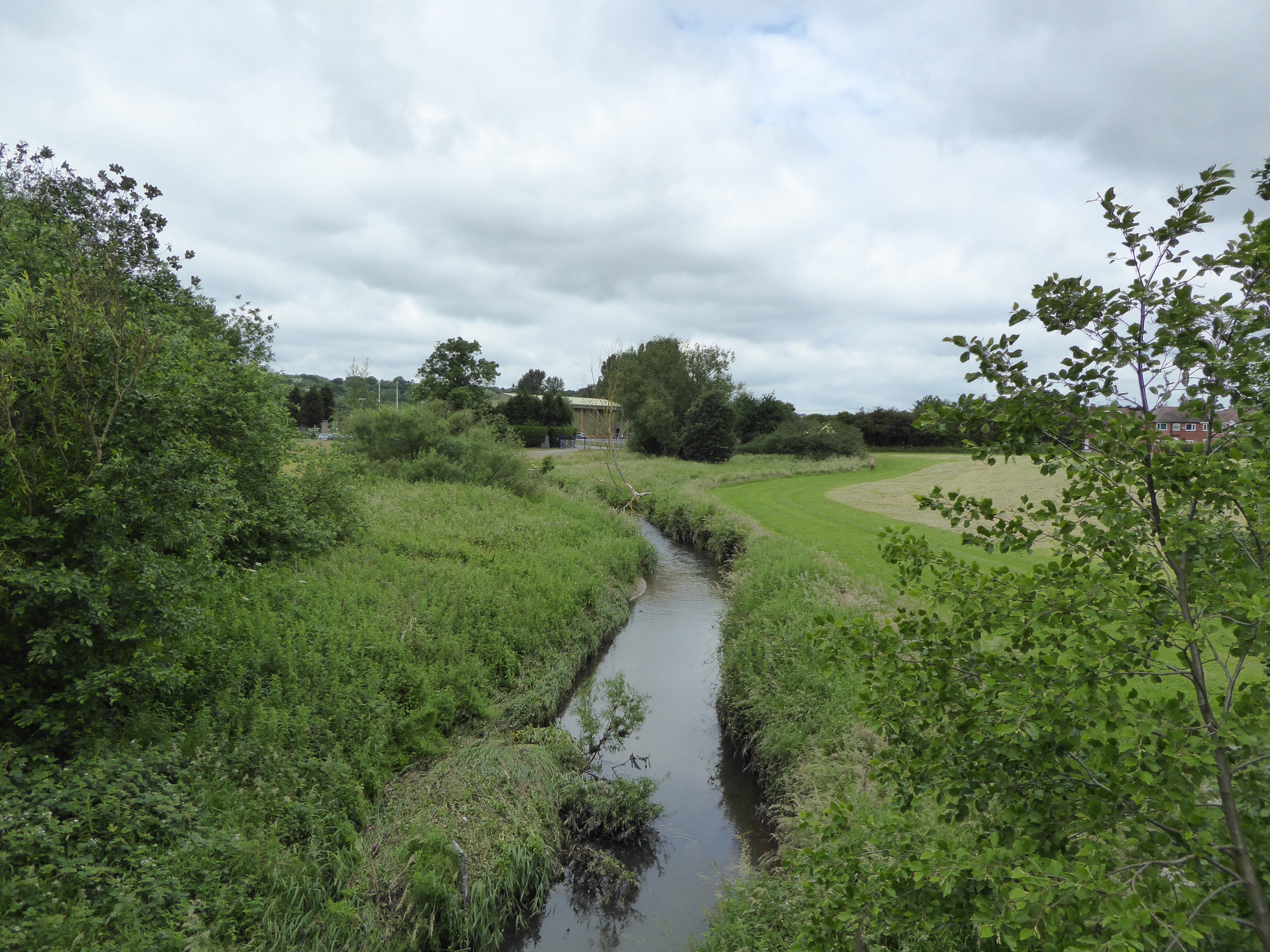
Lyme Brook
Lyme Brook is a tributary stream of the River Trent, which flows through Newcastle-under-Lyme, and the outlying areas of Stoke-on-Trent in Staffordshire...

Trentham Mausoleum
The Trentham Mausoleum is a Grade I listed mausoleum in Trentham, Stoke-on-Trent, built as the final resting place of the Dukes of Sutherland from the...
Trentham Gardens railway station
Trentham Gardens railway station (originally named Trentham Park) was the last station built by the North Staffordshire Railway (NSR) and was the terminus...

Trentham Academy
Trentham Academy (formerly Trentham High School) is a coeducational secondary school located in the village of Trentham in Stoke-on-Trent, Staffordshire...

Clayton, Staffordshire
Clayton is a suburb and a ward in the Newcastle-under-Lyme district, in the county of Staffordshire, England. == Today == Clayton lies on the boundary...

Trent Vale
Trent Vale is a suburb located on the outskirts of Stoke-on-Trent in Staffordshire, England. It is bordered on the south by Hanford, to the west by Clayton...
Clayton Hall Academy
Clayton Hall Academy is a mixed secondary school located in the Clayton area of Newcastle-under-Lyme in the English county of Staffordshire. == History... ==
Hanford, Staffordshire
Hanford is an area in Stoke-on-Trent near to Trent Vale. == References ==
Nearby Amenities
Located within 500m of 52.972298,-2.2194352Have you been to Coronation Plantation?
Leave your review of Coronation Plantation below (or comments, questions and feedback).