Towneley Hall
Heritage Site in Lancashire Burnley
England
Towneley Hall
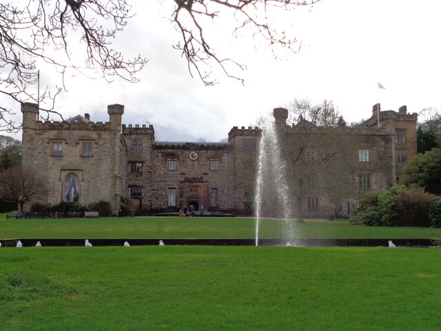
Towneley Hall is a historic mansion located in Burnley, Lancashire, England. Built in the 14th century, it stands as a prominent example of Tudor architecture and is recognized as a Grade I listed building. The hall was originally constructed as a family home for the Towneley family and remained in their possession for over 500 years.
The hall boasts a rich and fascinating history. In the 16th century, it became a haven for Catholic priests during the religious upheaval of the Protestant Reformation. The Towneley family, staunch Catholics, provided shelter and support to priests who were persecuted for their faith. As a result, the hall contains a hidden chapel, known as the "secret chapel," which was used for clandestine Catholic worship.
Today, Towneley Hall serves as a heritage site and museum, showcasing a diverse range of artifacts and exhibitions. The museum houses an extensive collection of paintings, including works by renowned artists such as J.M.W. Turner, as well as decorative arts, furniture, and textiles. Visitors can explore the various rooms of the hall, including the Great Hall, drawing rooms, and bedrooms, which are furnished in period style, offering a glimpse into the lives of the former inhabitants.
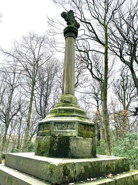
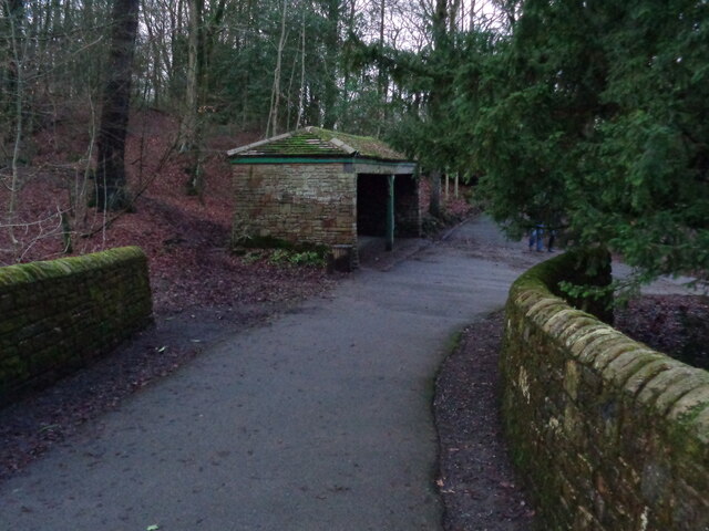
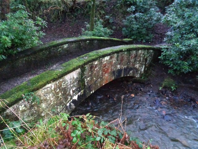
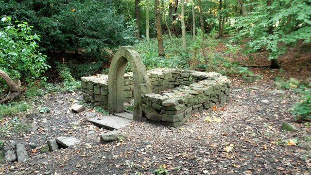
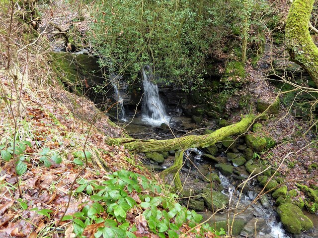
Surrounded by picturesque parkland, Towneley Hall is also a popular destination for outdoor activities. The park features beautiful gardens, woodland, and a sculpture trail, providing a tranquil setting for walks and picnics.
With its rich history, impressive architecture, and diverse collections, Towneley Hall is a cherished heritage site that offers a captivating experience for visitors interested in exploring Lancashire's past.
If you have any feedback on the listing, please let us know in the comments section below.
Towneley Hall Images
Images are sourced within 2km of 53.77/-2.22 or Grid Reference SD8530. Thanks to Geograph Open Source API. All images are credited.


Towneley Hall is located at Grid Ref: SD8530 (Lat: 53.77, Lng: -2.22)
Administrative County: Lancashire
District: Burnley
Police Authority: Lancashire
What 3 Words
///proper.tells.fakes. Near Burnley, Lancashire
Nearby Locations
Related Wikis

Towneley Park
Towneley Park is owned and managed by Burnley Borough Council and is the largest and most popular park in Burnley, Lancashire, England. The main entrance...

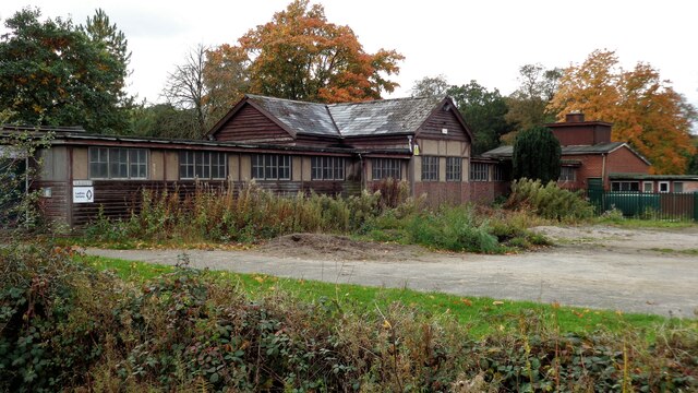
Towneley Colliery
Towneley Colliery or Towneley Desmesne was a coal mine on the Burnley Coalfield in Burnley, Lancashire, England. Sunk in the late 1860s, it was linked...

Cliviger
Cliviger is a civil parish in the Borough of Burnley, in Lancashire, England. It is situated to the southeast of Burnley, and northwest of Todmorden....

Unity College, Burnley
Unity College is a mixed 11-16 comprehensive school in Burnley, Lancashire, England. == History == === Former school === Towneley High School originally...

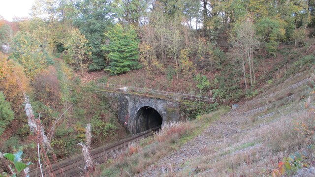
Towneley railway station
Towneley railway station was a station in Lancashire which served Burnley Wood and the nearby Towneley Hall on the eastern edge of Burnley. Opened on 12...

Singing Ringing Tree (sculpture)
The Singing Ringing Tree is a wind powered sound sculpture resembling a tree set in the landscape of the Pennine hill range overlooking Burnley, in Lancashire...

Burnley Wood
Burnley Wood is a district and former electoral ward of Burnley, Lancashire. In broad terms the area lies between Parliament Street in the north and Hufling...
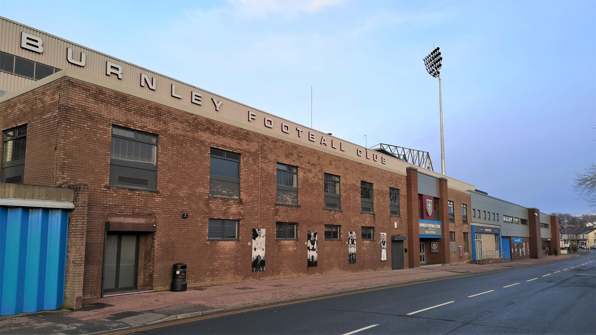
Turf Moor
Turf Moor is an association football stadium in Burnley, Lancashire, England, which has been the home of Burnley Football Club since 1883. This unbroken...
Nearby Amenities
Located within 500m of 53.77,-2.22Have you been to Towneley Hall?
Leave your review of Towneley Hall below (or comments, questions and feedback).