Causeway End Wood
Wood, Forest in Lancashire Burnley
England
Causeway End Wood
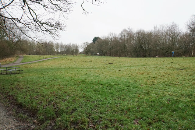
Causeway End Wood is a picturesque woodland located in the county of Lancashire, England. Situated near the village of Bolton-by-Bowland, this woodland covers an area of approximately 50 hectares and is a popular destination for nature lovers and outdoor enthusiasts.
The wood is characterized by its diverse ecosystem, consisting of a mixture of deciduous and evergreen trees. Oak, beech, birch, and coniferous species dominate the landscape, creating a rich tapestry of colors throughout the year. The forest floor is covered with a variety of wildflowers, including bluebells and primroses, adding to its natural beauty.
Causeway End Wood is home to a wide range of wildlife, making it an ideal location for birdwatching and wildlife spotting. Visitors may have the opportunity to spot native species such as woodpeckers, tawny owls, and red squirrels. The woodland also provides a habitat for rare and protected species like the great crested newt and the dormouse.
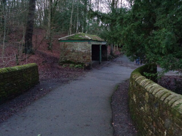
For those who enjoy outdoor activities, the wood offers numerous walking trails and paths, allowing visitors to explore its enchanting surroundings. A network of well-maintained footpaths leads visitors through the wood, providing opportunities to immerse themselves in the tranquility of nature.
Overall, Causeway End Wood is a captivating woodland in Lancashire, offering visitors the chance to experience the beauty of the natural world and observe a diverse range of flora and fauna. With its stunning scenery and peaceful atmosphere, it is a must-visit destination for nature enthusiasts and those seeking a peaceful retreat.
If you have any feedback on the listing, please let us know in the comments section below.
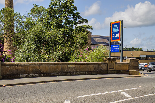
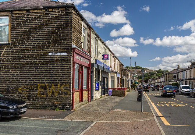
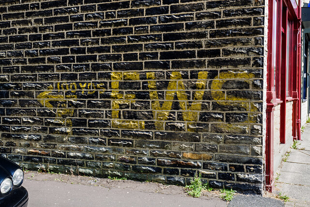
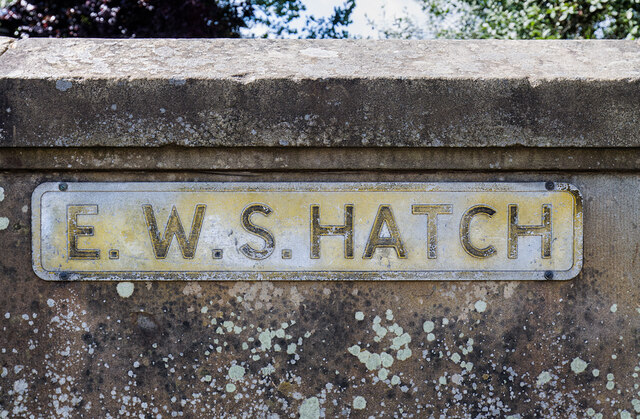
Causeway End Wood Images
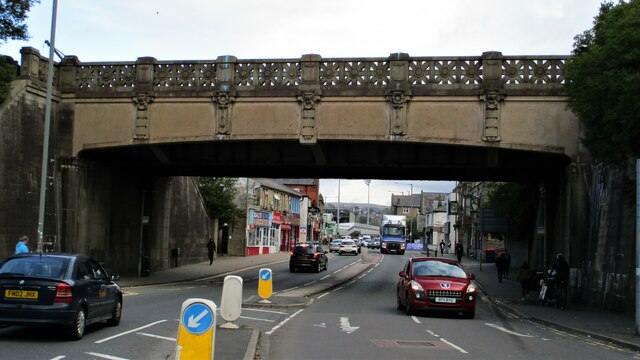
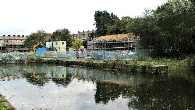
Images are sourced within 2km of 53.77478/-2.2264868 or Grid Reference SD8530. Thanks to Geograph Open Source API. All images are credited.


Causeway End Wood is located at Grid Ref: SD8530 (Lat: 53.77478, Lng: -2.2264868)
Administrative County: Lancashire
District: Burnley
Police Authority: Lancashire
What 3 Words
///ranges.over.mimic. Near Burnley, Lancashire
Nearby Locations
Related Wikis

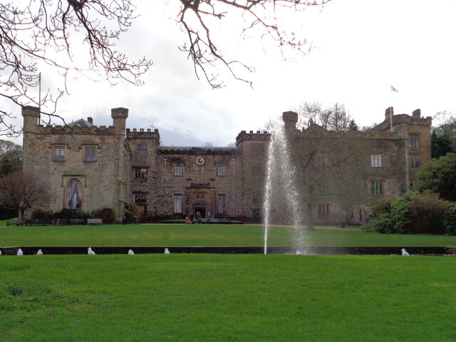
Towneley Park
Towneley Park is owned and managed by Burnley Borough Council and is the largest and most popular park in Burnley, Lancashire, England. The main entrance...

Towneley Colliery
Towneley Colliery or Towneley Desmesne was a coal mine on the Burnley Coalfield in Burnley, Lancashire, England. Sunk in the late 1860s, it was linked...

Towneley railway station
Towneley railway station was a station in Lancashire which served Burnley Wood and the nearby Towneley Hall on the eastern edge of Burnley. Opened on 12...

Unity College, Burnley
Unity College is a mixed 11-16 comprehensive school in Burnley, Lancashire, England. == History == === Former school === Towneley High School originally...

Burnley Wood
Burnley Wood is a district and former electoral ward of Burnley, Lancashire. In broad terms the area lies between Parliament Street in the north and Hufling...
Burnley power station
Burnley power station supplied electricity to the town of Burnley, Lancashire from 1893 to 1958. The electricity station was owned and operated by Burnley...
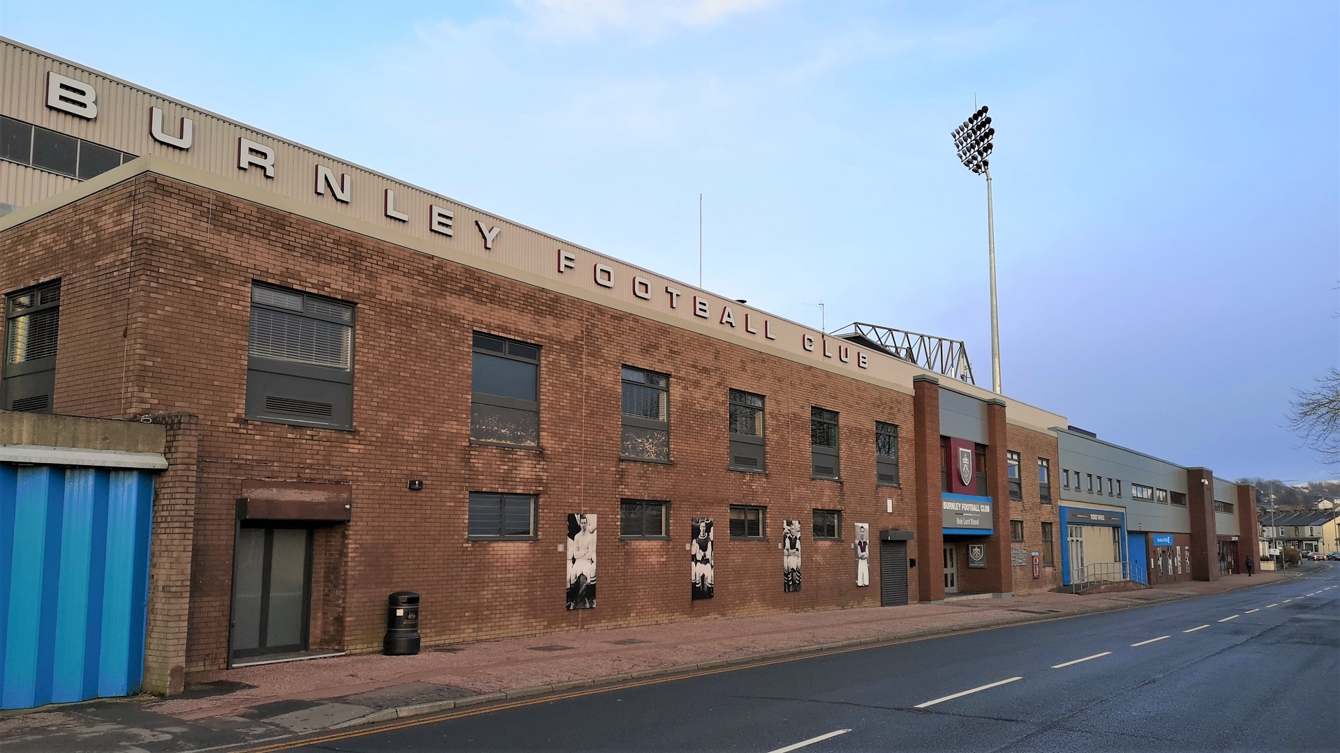
Turf Moor
Turf Moor is an association football stadium in Burnley, Lancashire, England, which has been the home of Burnley Football Club since 1883. This unbroken...

Church of St Mary of the Assumption, Burnley
The Church of St Mary of the Assumption is in Yorkshire Street, Burnley, Lancashire, England. It is an active Roman Catholic parish church in the diocese...
Nearby Amenities
Located within 500m of 53.77478,-2.2264868Have you been to Causeway End Wood?
Leave your review of Causeway End Wood below (or comments, questions and feedback).