Castle Hill

Hill, Mountain in Lancashire Burnley

England

Castle Hill

WWII Lancashire: Ghost Signs of the Home Front  (22) -
Emergency Water Supply, Hand Bridge, Todmorden Road, Burnley

"EWS Hatch"

A rare EWS sign of metal on the bridge over the River Calder. "EWS Hatch" may refer to a facility to obtain an emergency supply of water from the river (below the bridge).

<a href="https://www.geograph.org.uk/photo/6945367">SD8432 : WWII Lancashire: Ghost Signs of the Home Front  (23)</a>
WWII Lancashire: Ghost Signs of the Home Front (22) Credit: Mike Searle

Castle Hill is a prominent hill located in Lancashire, England. Situated in the borough of Pendle, it forms part of the Pennine range and stands at an elevation of approximately 1,287 feet (392 meters) above sea level. The hill is renowned for its historical significance, scenic beauty, and outdoor recreational opportunities.

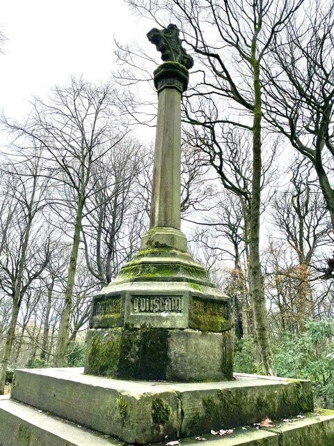
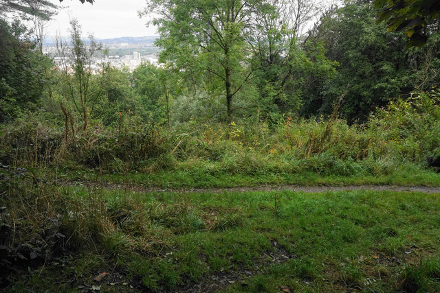
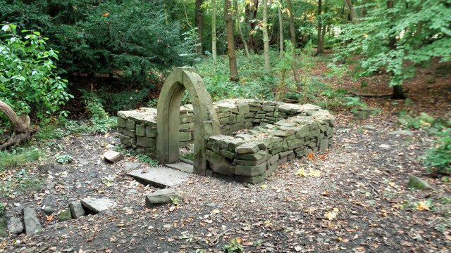
The name Castle Hill derives from the fact that it was once the site of a medieval castle, which unfortunately no longer exists. However, remnants of the castle's earthworks can still be seen, adding to the hill's allure for history enthusiasts. The hill offers breathtaking panoramic views of the surrounding countryside, including the Pendle Hill, Ribble Valley, and the Forest of Bowland.

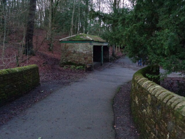
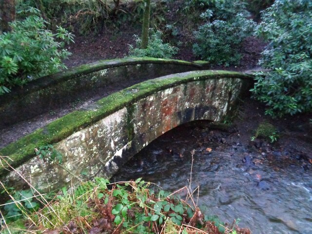
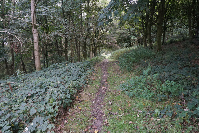
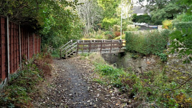
Castle Hill is a popular destination for outdoor enthusiasts, especially hikers and walkers. It is traversed by several well-marked footpaths, allowing visitors to explore its varied terrain and experience its natural beauty. The hill is abundant in diverse flora and fauna, making it an ideal spot for nature lovers and wildlife enthusiasts.

The hill's proximity to the towns of Clitheroe and Burnley makes it easily accessible for both locals and tourists alike. It also serves as a recreational area for nearby communities, offering opportunities for picnicking, kite flying, and other outdoor activities.

In conclusion, Castle Hill in Lancashire is a historically significant and visually stunning hill that attracts visitors with its medieval heritage, scenic vistas, and outdoor recreational opportunities. Whether one is interested in history, nature, or simply enjoying the great outdoors, Castle Hill offers a captivating experience for all.

If you have any feedback on the listing, please let us know in the comments section below.
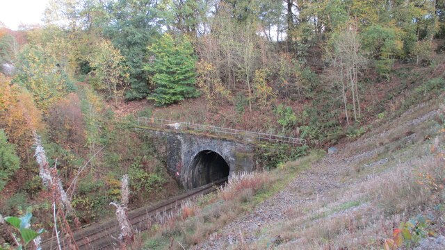
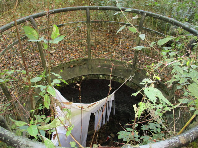
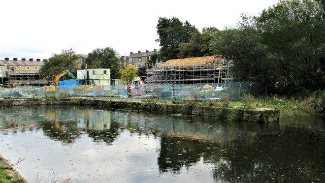
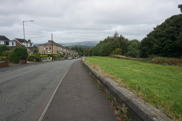
Castle Hill Images

Images are sourced within 2km of 53.770542/-2.224264 or Grid Reference SD8530. Thanks to Geograph Open Source API. All images are credited.

WWII Lancashire: Ghost Signs of the Home Front  (22) -
Emergency Water Supply, Hand Bridge, Todmorden Road, Burnley

"EWS Hatch"

A rare EWS sign of metal on the bridge over the River Calder. "EWS Hatch" may refer to a facility to obtain an emergency supply of water from the river (below the bridge).

<a href="https://www.geograph.org.uk/photo/6945367">SD8432 : WWII Lancashire: Ghost Signs of the Home Front  (23)</a>
WWII Lancashire: Ghost Signs of the Home Front (22)
- Emergency Water Supply, Hand Bridge, Todmorden Road, Burnley "EWS Hatch" A rare EWS sign of metal on the bridge over the River Calder. "EWS Hatch" may refer to a facility to obtain an emergency supply of water from the river (below the bridge). SD8432 : WWII Lancashire: Ghost Signs of the Home Front (23)
WWII Lancashire: Ghost Signs of the Home Front  (24) -
Emergency Water Supply, Holmsley Street, at junction with Lyndhurst Road, Burnley

"EWS 100 yds"

<a href="https://www.geograph.org.uk/photo/6945363">SD8432 : WWII Lancashire: Ghost Signs of the Home Front  (25)</a>
WWII Lancashire: Ghost Signs of the Home Front (24)
- Emergency Water Supply, Holmsley Street, at junction with Lyndhurst Road, Burnley "EWS 100 yds" SD8432 : WWII Lancashire: Ghost Signs of the Home Front (25)
WWII Lancashire: Ghost Signs of the Home Front  (25) -
Emergency Water Supply, Holmsley Street, at junction with Lyndhurst Road, Burnley

"EWS 100 yds"

                              *********
START: <a href="https://www.geograph.org.uk/photo/6944970">SJ8498 : WWII Lancashire: Ghost Signs of the Home Front  (1)</a>
WWII Lancashire: Ghost Signs of the Home Front (25)
- Emergency Water Supply, Holmsley Street, at junction with Lyndhurst Road, Burnley "EWS 100 yds" ********* START: SJ8498 : WWII Lancashire: Ghost Signs of the Home Front (1)
WWII Lancashire: Ghost Signs of the Home Front  (23) -
Emergency Water Supply,  Hand Bridge, Todmorden Road, Burnley

"EWS Hatch"

<a href="https://www.geograph.org.uk/photo/6945359">SD8432 : WWII Lancashire: Ghost Signs of the Home Front  (24)</a>
WWII Lancashire: Ghost Signs of the Home Front (23)
- Emergency Water Supply, Hand Bridge, Todmorden Road, Burnley "EWS Hatch" SD8432 : WWII Lancashire: Ghost Signs of the Home Front (24)
Old Wayside Cross in Tiwneley Park, Burnley Foldys' Cross, an old market cross base in a new cross. Moved to the intersection of footpaths leading towards Todmorden road in Towneley Park, 300 metres southwest of Towneley Hall in Burnley. Grade II Listed <span class="nowrap"><a title="https://historicengland.org.uk/listing/the-list/list-entry/1247301" rel="nofollow ugc noopener" href="https://historicengland.org.uk/listing/the-list/list-entry/1247301">Link</a><img style="margin-left:2px;" alt="External link" title="External link - shift click to open in new window" src="https://s1.geograph.org.uk/img/external.png" width="10" height="10"/></span>. See also <a title="https://www.geograph.org.uk/photo/3569776" href="https://www.geograph.org.uk/photo/3569776">Link</a> and <a title="https://www.geograph.org.uk/photo/1133733" href="https://www.geograph.org.uk/photo/1133733">Link</a>.

Milestone Society National ID: LABU_BUR03
Old Wayside Cross in Tiwneley Park, Burnley
Foldys' Cross, an old market cross base in a new cross. Moved to the intersection of footpaths leading towards Todmorden road in Towneley Park, 300 metres southwest of Towneley Hall in Burnley. Grade II Listed LinkExternal link. See also Link and Link. Milestone Society National ID: LABU_BUR03
Towneley Hall The north east frontage
Towneley Hall
The north east frontage
Park Shelters At Boggart Bridge in Towneley Park Wilderness
Park Shelters
At Boggart Bridge in Towneley Park Wilderness
Ornamental Footbridge In the Wilderness of Towneley Park over Copy Clough
Ornamental Footbridge
In the Wilderness of Towneley Park over Copy Clough
Towneley Railway Tunnel The north portal
Towneley Railway Tunnel
The north portal
Beehive Coke Oven The charging hole decorated for Halloween
Beehive Coke Oven
The charging hole decorated for Halloween
Finsley Gate Wharf Renovations underway on the old depot buildings. A former dockyard on the Leeds and Liverpool Canal
Finsley Gate Wharf
Renovations underway on the old depot buildings. A former dockyard on the Leeds and Liverpool Canal
Rosehill Road A residential suburb of Burnley which is significantly higher than the town centre.
Rosehill Road
A residential suburb of Burnley which is significantly higher than the town centre.
Path in Rose Hill The path is on the wooded hillside which separates Rose Hill from the town centre of Burnley.
Path in Rose Hill
The path is on the wooded hillside which separates Rose Hill from the town centre of Burnley.
Junction of paths in Rose Hill There is just a glimpse of Burnley town centre through the trees.
Junction of paths in Rose Hill
There is just a glimpse of Burnley town centre through the trees.
Burnley - Handbridge Mill Historic (1891) cotton mill with a landmark chimney - seen here from the north stand at Turf Moor.
Burnley - Handbridge Mill
Historic (1891) cotton mill with a landmark chimney - seen here from the north stand at Turf Moor.
Burnley Way Footbridge Crosses the River Calder to give access to Park Road
Burnley Way Footbridge
Crosses the River Calder to give access to Park Road
Rustic Pavilion For the football fields in Towneley Park
Rustic Pavilion
For the football fields in Towneley Park
Monk's Well In Thanet Lee Wood on the Towneley Estate. Whilst it contains a stone trough, the construction around it is believed to be a re-created Gothick folly.
Monk's Well
In Thanet Lee Wood on the Towneley Estate. Whilst it contains a stone trough, the construction around it is believed to be a re-created Gothick folly.
Show me another place!

Castle Hill is located at Grid Ref: SD8530 (Lat: 53.770542, Lng: -2.224264)

Administrative County: Lancashire

District: Burnley

Police Authority: Lancashire

What 3 Words

///remit.saving.juror. Near Burnley, Lancashire

Related Wikis

Towneley Park

Towneley Park is owned and managed by Burnley Borough Council and is the largest and most popular park in Burnley, Lancashire, England. The main entrance...

Towneley Colliery

Towneley Colliery or Towneley Desmesne was a coal mine on the Burnley Coalfield in Burnley, Lancashire, England. Sunk in the late 1860s, it was linked...

Towneley railway station

Towneley railway station was a station in Lancashire which served Burnley Wood and the nearby Towneley Hall on the eastern edge of Burnley. Opened on 12...

Cliviger

Cliviger is a civil parish in the Borough of Burnley, in Lancashire, England. It is situated to the southeast of Burnley, and northwest of Todmorden....

Unity College, Burnley

Unity College is a mixed 11-16 comprehensive school in Burnley, Lancashire, England. == History == === Former school === Towneley High School originally...

Burnley Wood

Burnley Wood is a district and former electoral ward of Burnley, Lancashire. In broad terms the area lies between Parliament Street in the north and Hufling...

Singing Ringing Tree (sculpture)

The Singing Ringing Tree is a wind powered sound sculpture resembling a tree set in the landscape of the Pennine hill range overlooking Burnley, in Lancashire...

Burnley power station

Burnley power station supplied electricity to the town of Burnley, Lancashire from 1893 to 1958. The electricity station was owned and operated by Burnley...

Nearby Amenities

Located within 500m of 53.770542,-2.224264
Traffic Signals
Traffic Signals: signal
Traffic Signals Direction: forward
Lat/Long: 53.7696801/-2.2255878
Traffic Signals
Traffic Signals: signal
Traffic Signals Direction: backward
Lat/Long: 53.7702585/-2.2263926
Offshoots
Description: Offshoots Permaculture Project
Lat/Long: 53.7735213/-2.2207159
Traffic Signals
Traffic Signals: signal
Traffic Signals Direction: forward
Lat/Long: 53.7692748/-2.2251474
Traffic Signals
Traffic Signals: signal
Traffic Signals Direction: backward
Lat/Long: 53.7694899/-2.2251481
Traffic Signals
Traffic Signals: signal
Traffic Signals Direction: forward
Lat/Long: 53.7702745/-2.2266979
Traffic Signals
Traffic Signals: signal
Traffic Signals Direction: forward
Lat/Long: 53.7705287/-2.2267447
Bus Stop
Picnic Area
Bus: yes
Public Transport: platform
Lat/Long: 53.7728604/-2.228516
Burnley War Memorial
HE Ref: 1247303
Artist Name: Walter Gilbert & Louis Weingartner
Heritage: 2
Heritage Operator: Historic England
Historic: heritage
Listed Status: Grade II*
Material: stone
Memorial: war_memorial
Operator: Burnley Borough Council
Start Date: 1926
Website: https://historicengland.org.uk/listing/the-list/list-entry/1247303
Lat/Long: 53.7738614/-2.220802
Access: customers
Entrance: main
Wheelchair: no
Lat/Long: 53.7738975/-2.2224032
Access: yes
Entrance: main
Lat/Long: 53.7741966/-2.2227024
Give Way
Lat/Long: 53.7701891/-2.2266323
The data included in this document is from www.openstreetmap.org. The data is made available under ODbL.

Have you been to Castle Hill?

Leave your review of Castle Hill below (or comments, questions and feedback).