Copy Wood

Wood, Forest in Lancashire Burnley

England

Copy Wood

Old Wayside Cross in Tiwneley Park, Burnley Foldys' Cross, an old market cross base in a new cross. Moved to the intersection of footpaths leading towards Todmorden road in Towneley Park, 300 metres southwest of Towneley Hall in Burnley. Grade II Listed <span class="nowrap"><a title="https://historicengland.org.uk/listing/the-list/list-entry/1247301" rel="nofollow ugc noopener" href="https://historicengland.org.uk/listing/the-list/list-entry/1247301">Link</a><img style="margin-left:2px;" alt="External link" title="External link - shift click to open in new window" src="https://s1.geograph.org.uk/img/external.png" width="10" height="10"/></span>. See also <a title="https://www.geograph.org.uk/photo/3569776" href="https://www.geograph.org.uk/photo/3569776">Link</a> and <a title="https://www.geograph.org.uk/photo/1133733" href="https://www.geograph.org.uk/photo/1133733">Link</a>.

Milestone Society National ID: LABU_BUR03
Old Wayside Cross in Tiwneley Park, Burnley Credit: Lee Rob

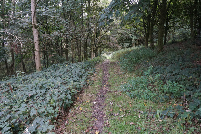
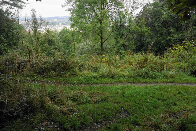
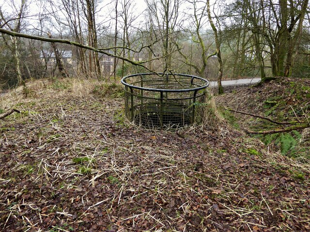
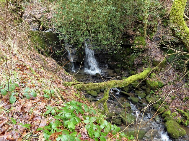
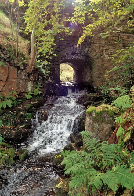
Copy Wood is a picturesque forest located in the county of Lancashire, England. Situated near the village of Wood, this woodland area spans over several acres of undulating terrain and is known for its natural beauty and diverse wildlife.

The forest is primarily composed of native tree species such as oak, birch, and beech, which create a dense canopy that provides shade and shelter for a variety of flora and fauna. The woodland floor is adorned with a carpet of wildflowers, including bluebells, primroses, and foxgloves, adding a vibrant splash of color to the surroundings.

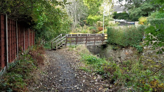
Copy Wood is a popular destination for nature lovers and outdoor enthusiasts. It offers a range of walking trails and hiking paths, allowing visitors to explore the forest at their own pace. The verdant surroundings provide a tranquil atmosphere, making it an ideal spot for a leisurely stroll or a picnic amidst nature.

The woodland is also home to a diverse range of wildlife. Birdwatchers can spot a variety of species, including woodpeckers, owls, and various songbirds. Deer and foxes are among the mammals that can occasionally be spotted wandering through the forest.

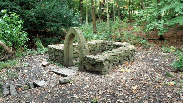
In addition to its natural beauty, Copy Wood has historical significance. It is believed to have been a part of the ancient woodland that covered much of Lancashire centuries ago. The forest has witnessed the passage of time and has remained relatively untouched, preserving its natural charm.

Overall, Copy Wood in Lancashire offers a peaceful and serene environment where visitors can immerse themselves in nature, explore its trails, and appreciate the beauty of the English countryside.

If you have any feedback on the listing, please let us know in the comments section below.

Copy Wood Images

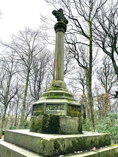
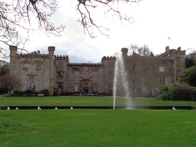
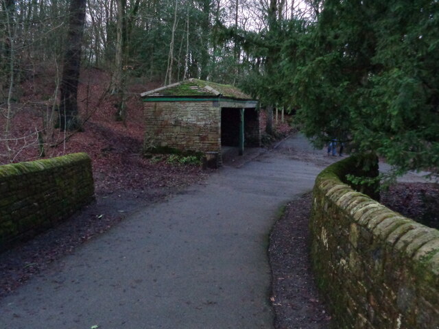
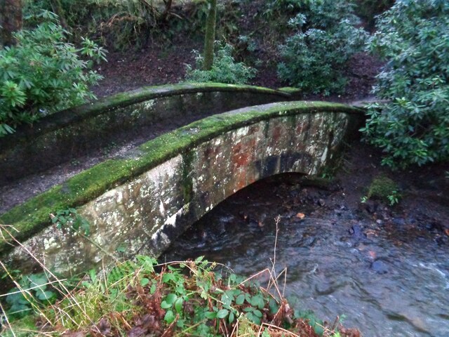
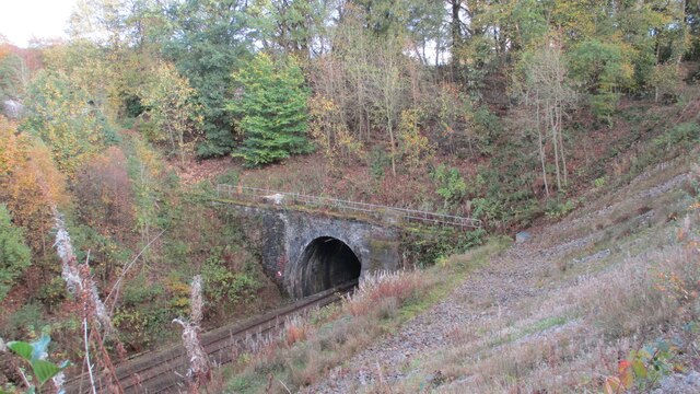
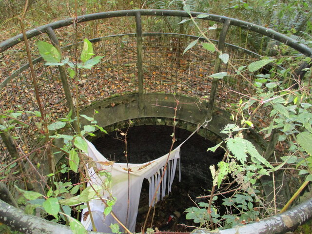
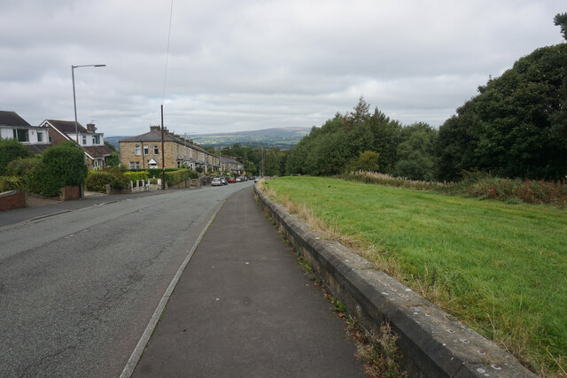
Images are sourced within 2km of 53.766805/-2.2279609 or Grid Reference SD8530. Thanks to Geograph Open Source API. All images are credited.

Old Wayside Cross in Tiwneley Park, Burnley Foldys' Cross, an old market cross base in a new cross. Moved to the intersection of footpaths leading towards Todmorden road in Towneley Park, 300 metres southwest of Towneley Hall in Burnley. Grade II Listed <span class="nowrap"><a title="https://historicengland.org.uk/listing/the-list/list-entry/1247301" rel="nofollow ugc noopener" href="https://historicengland.org.uk/listing/the-list/list-entry/1247301">Link</a><img style="margin-left:2px;" alt="External link" title="External link - shift click to open in new window" src="https://s1.geograph.org.uk/img/external.png" width="10" height="10"/></span>. See also <a title="https://www.geograph.org.uk/photo/3569776" href="https://www.geograph.org.uk/photo/3569776">Link</a> and <a title="https://www.geograph.org.uk/photo/1133733" href="https://www.geograph.org.uk/photo/1133733">Link</a>.

Milestone Society National ID: LABU_BUR03
Old Wayside Cross in Tiwneley Park, Burnley
Foldys' Cross, an old market cross base in a new cross. Moved to the intersection of footpaths leading towards Todmorden road in Towneley Park, 300 metres southwest of Towneley Hall in Burnley. Grade II Listed LinkExternal link. See also Link and Link. Milestone Society National ID: LABU_BUR03
Towneley Hall The north east frontage
Towneley Hall
The north east frontage
Park Shelters At Boggart Bridge in Towneley Park Wilderness
Park Shelters
At Boggart Bridge in Towneley Park Wilderness
Ornamental Footbridge In the Wilderness of Towneley Park over Copy Clough
Ornamental Footbridge
In the Wilderness of Towneley Park over Copy Clough
Towneley Railway Tunnel The north portal
Towneley Railway Tunnel
The north portal
Beehive Coke Oven The charging hole decorated for Halloween
Beehive Coke Oven
The charging hole decorated for Halloween
Rosehill Road A residential suburb of Burnley which is significantly higher than the town centre.
Rosehill Road
A residential suburb of Burnley which is significantly higher than the town centre.
Path in Rose Hill The path is on the wooded hillside which separates Rose Hill from the town centre of Burnley.
Path in Rose Hill
The path is on the wooded hillside which separates Rose Hill from the town centre of Burnley.
Junction of paths in Rose Hill There is just a glimpse of Burnley town centre through the trees.
Junction of paths in Rose Hill
There is just a glimpse of Burnley town centre through the trees.
Burnley Way Footbridge Crosses the River Calder to give access to Park Road
Burnley Way Footbridge
Crosses the River Calder to give access to Park Road
Rustic Pavilion For the football fields in Towneley Park
Rustic Pavilion
For the football fields in Towneley Park
Monk's Well In Thanet Lee Wood on the Towneley Estate. Whilst it contains a stone trough, the construction around it is believed to be a re-created Gothick folly.
Monk's Well
In Thanet Lee Wood on the Towneley Estate. Whilst it contains a stone trough, the construction around it is believed to be a re-created Gothick folly.
Modern railings on Beehive Coke Oven The railings are around the charging hole of a preserved historic beehive coke oven. There are many remains on this hillside of the banks of ovens and tramways that served them, but only one beehive oven appears complete.
Modern railings on Beehive Coke Oven
The railings are around the charging hole of a preserved historic beehive coke oven. There are many remains on this hillside of the banks of ovens and tramways that served them, but only one beehive oven appears complete.
Waterfall on unnamed stream Paths are being renewed in this area which is the northern boundary of the former Towneley Colliery & Brickworks site (now largely replaced by the housing of The Kilns)
Waterfall on unnamed stream
Paths are being renewed in this area which is the northern boundary of the former Towneley Colliery & Brickworks site (now largely replaced by the housing of The Kilns)
Site of a former public house A modern pub apparently shut in about 2008 as the Coaching House and with plans to be a care home.
Site of a former public house
A modern pub apparently shut in about 2008 as the Coaching House and with plans to be a care home.
The Singing Ringing Tree One of East Lancashire's Panopticons
The Singing Ringing Tree
One of East Lancashire's Panopticons
The Singing Ringing Tree One of East Lancashire's Panopticons, but I do not think the view is better from on top of the structure
The Singing Ringing Tree
One of East Lancashire's Panopticons, but I do not think the view is better from on top of the structure
Waterfall in Easden Clough The bridge behind carries Dyneley Lane from Stone House Fold to Dyneley Farm and Bacup Road
Waterfall in Easden Clough
The bridge behind carries Dyneley Lane from Stone House Fold to Dyneley Farm and Bacup Road
Show me another place!

Copy Wood is located at Grid Ref: SD8530 (Lat: 53.766805, Lng: -2.2279609)

Administrative County: Lancashire

District: Burnley

Police Authority: Lancashire

What 3 Words

///across.option.aspect. Near Burnley, Lancashire

Related Wikis

Towneley Colliery

Towneley Colliery or Towneley Desmesne was a coal mine on the Burnley Coalfield in Burnley, Lancashire, England. Sunk in the late 1860s, it was linked...

Towneley Park

Towneley Park is owned and managed by Burnley Borough Council and is the largest and most popular park in Burnley, Lancashire, England. The main entrance...

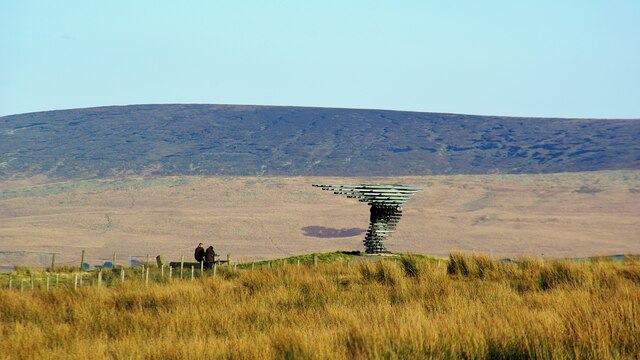
Singing Ringing Tree, Burnley

The Singing Ringing Tree is a wind powered sound sculpture resembling a tree set in the landscape of the Pennine hill range overlooking Burnley, in Lancashire...

Cliviger

Cliviger is a civil parish in the Borough of Burnley, in Lancashire, England. It is situated to the southeast of Burnley, and northwest of Todmorden....

Nearby Amenities

Located within 500m of 53.766805,-2.2279609
Traffic Signals
Traffic Signals: signal
Traffic Signals Direction: forward
Lat/Long: 53.7696801/-2.2255878
Traffic Signals
Traffic Signals: signal
Traffic Signals Direction: backward
Lat/Long: 53.7702585/-2.2263926
Traffic Signals
Traffic Signals: signal
Traffic Signals Direction: forward
Lat/Long: 53.7692748/-2.2251474
Traffic Signals
Traffic Signals: signal
Traffic Signals Direction: backward
Lat/Long: 53.7694899/-2.2251481
Traffic Signals
Traffic Signals: signal
Traffic Signals Direction: forward
Lat/Long: 53.7702745/-2.2266979
Traffic Signals
Traffic Signals: signal
Traffic Signals Direction: forward
Lat/Long: 53.7705287/-2.2267447
Give Way
Lat/Long: 53.7701891/-2.2266323
The data included in this document is from www.openstreetmap.org. The data is made available under ODbL.

Have you been to Copy Wood?

Leave your review of Copy Wood below (or comments, questions and feedback).