Ash Bed

Wood, Forest in Wiltshire

England

Ash Bed

Clump of trees by the M4
Clump of trees by the M4 Credit: N Chadwick

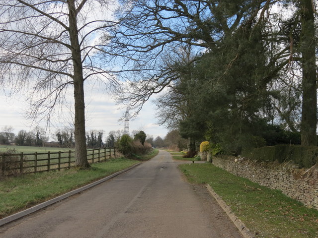
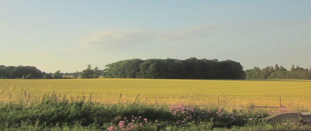
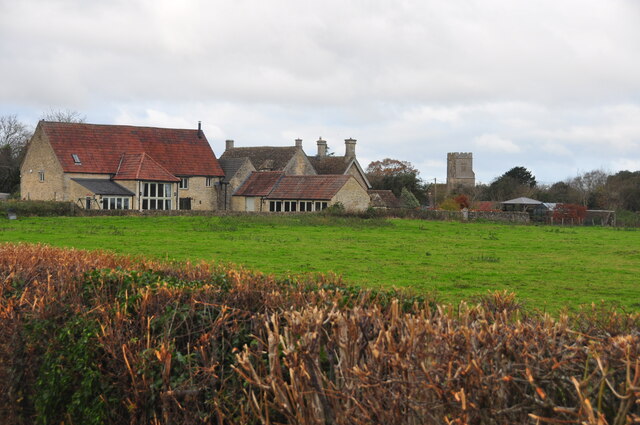
Ash Bed is a small wood located in the county of Wiltshire, England. Situated near the village of Wiltshire, it covers an area of approximately 50 acres. The wood is part of the larger Savernake Forest, renowned for its natural beauty and diverse ecosystem.

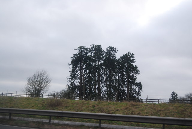
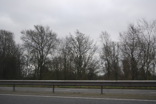
Ash Bed is predominantly composed of ash trees, hence its name. These tall, deciduous trees create a dense canopy that provides shade and shelter for various plant and animal species. The wood is particularly enchanting during spring when the ash trees are in full bloom, creating a vibrant green landscape.

The forest floor of Ash Bed is covered in a thick layer of leaf litter, consisting of decaying leaves and organic matter. This provides a fertile environment for many species of wildflowers, fungi, and mosses. Bluebells are particularly abundant in the wood during late spring, creating a breathtaking carpet of blue.

The diverse range of wildlife in Ash Bed includes various bird species such as woodpeckers, owls, and songbirds. Mammals like deer, rabbits, and squirrels can also be spotted within the wood. The wood's proximity to the larger Savernake Forest allows for the movement and interaction of different species, contributing to its ecological significance.

Ash Bed is a popular destination for nature enthusiasts, hikers, and photographers who are drawn to its natural beauty and tranquility. The wood offers several well-maintained walking trails, allowing visitors to explore its unique flora and fauna. It is also a designated Site of Special Scientific Interest (SSSI), highlighting its importance for conservation and research.

If you have any feedback on the listing, please let us know in the comments section below.
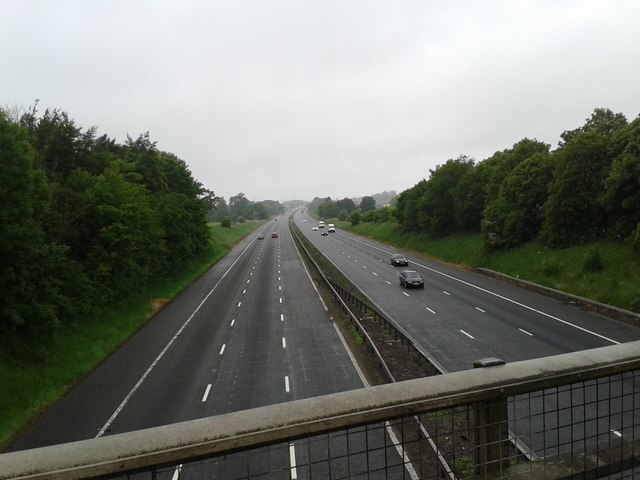
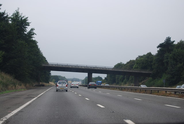
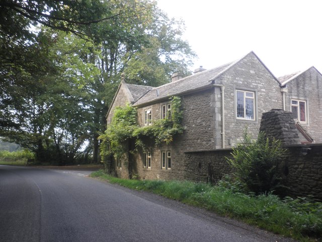
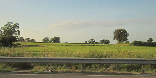
Ash Bed Images

Images are sourced within 2km of 51.525247/-2.2165959 or Grid Reference ST8580. Thanks to Geograph Open Source API. All images are credited.

Clump of trees by the M4
Woodland by the M4
Woodland by the M4
West  Foscote  Farm Almost a country house, it must have some history?
West Foscote Farm
Almost a country house, it must have some history?
Road  toward  Castle  Combe  West  Foscote
Road toward Castle Combe West Foscote
The  Street  Grittleton Looking west not a lot of activity
The Street Grittleton
Looking west not a lot of activity
M4 motorway, looking west
Bridge over the M4 near Foscote The M4 is 190 miles long and runs from London to South Wales. Major centres close to the motorway include Reading, Swindon, Bristol, Newport, Cardiff and Swansea. The motorway was constructed between 1961 and 1996. The M4 originally crossed the first Severn Road Bridge. It has now been diverted to use the Second Severn Crossing and the motorway over the older bridge has been renumbered as M48.
Wikipedia: <span class="nowrap"><a title="http://en.wikipedia.org/wiki/M4_motorway" rel="nofollow ugc noopener" href="http://en.wikipedia.org/wiki/M4_motorway">Link</a><img style="margin-left:2px;" alt="External link" title="External link - shift click to open in new window" src="https://s1.geograph.org.uk/img/external.png" width="10" height="10"/></span>
Bridge over the M4 near Foscote
The M4 is 190 miles long and runs from London to South Wales. Major centres close to the motorway include Reading, Swindon, Bristol, Newport, Cardiff and Swansea. The motorway was constructed between 1961 and 1996. The M4 originally crossed the first Severn Road Bridge. It has now been diverted to use the Second Severn Crossing and the motorway over the older bridge has been renumbered as M48. Wikipedia: LinkExternal link
Minor Road to Fosse Gate
House at Fosse Gate
House at Fosse Gate
Fields near Littleton Drew Viewed from the M4, with scattered trees along the field boundaries.
Fields near Littleton Drew
Viewed from the M4, with scattered trees along the field boundaries.
Old Mead Covert The wood, rectangular in shape, is seen from the other side in <a href="https://www.geograph.org.uk/photo/810997">ST8579 : Old Mead Covert</a>. This view is from the M4.
Old Mead Covert
The wood, rectangular in shape, is seen from the other side in ST8579 : Old Mead Covert. This view is from the M4.
Grittleton School: late June 2015
Former Plough Inn, Littleton Drew, Wilshire 2021 Former Pub, now private residence, being re-thatched
Former Plough Inn, Littleton Drew, Wilshire 2021
Former Pub, now private residence, being re-thatched
Stable Cottage, Littleton Drew, Wiltshire 2021
Townsend Farm, Littleton Drew, Wiltshire 2021
Townsend House & Farm, Littleton Drew, Wiltshire 2021 Farm, including converted stone barn
Townsend House & Farm, Littleton Drew, Wiltshire 2021
Farm, including converted stone barn
Old Milestone by The Street, Grittleton Metal plate attached to stone post by the UC road, in parish of GRITTLETON (NORTH WILTSHIRE District), The Street; Grittleton; opposite Grittleton House School by "Masons", partially inset into wall, on North side of road. Erected by the Christian Malford to Shillingford turnpike trust in the 19th century. 

Inscription reads:- 
TO
Xn. MALFORD. 7
PUCKLECh. 11
BRISTOL. 18

Grade II listed. 
List Entry Number: 1363847 <span class="nowrap"><a title="https://historicengland.org.uk/listing/the-list/list-entry/1363847" rel="nofollow ugc noopener" href="https://historicengland.org.uk/listing/the-list/list-entry/1363847">Link</a><img style="margin-left:2px;" alt="External link" title="External link - shift click to open in new window" src="https://s1.geograph.org.uk/img/external.png" width="10" height="10"/></span>

Milestone Society National ID: WI_CMBR07
Old Milestone by The Street, Grittleton
Metal plate attached to stone post by the UC road, in parish of GRITTLETON (NORTH WILTSHIRE District), The Street; Grittleton; opposite Grittleton House School by "Masons", partially inset into wall, on North side of road. Erected by the Christian Malford to Shillingford turnpike trust in the 19th century. Inscription reads:- TO Xn. MALFORD. 7 PUCKLECh. 11 BRISTOL. 18 Grade II listed. List Entry Number: 1363847 LinkExternal link Milestone Society National ID: WI_CMBR07
Grittleton : St Mary the Virgin Anglican parish church, c1200 origins, C15 tower, heavily restored 1865-7 by A.W. Blomfield.
Grittleton : St Mary the Virgin
Anglican parish church, c1200 origins, C15 tower, heavily restored 1865-7 by A.W. Blomfield.
Show me another place!

Ash Bed is located at Grid Ref: ST8580 (Lat: 51.525247, Lng: -2.2165959)

Unitary Authority: Wiltshire

Police Authority: Wiltshire

What 3 Words

///purchaser.surcharge.dormant. Near Luckington, Wiltshire

Nearby Locations

High Elms Covert Ash Bed

Related Wikis

Grittleton

Grittleton is a village and civil parish in Wiltshire, England, 6 miles (10 km) northwest of Chippenham. The parish includes the hamlets of Foscote,...

Grittleton House

Grittleton House is a country house in the village of Grittleton, Wiltshire, England, about 5+1⁄2 miles (9 km) northwest of the town of Chippenham. It...

Grittleton House School

Grittleton House School was an independent school in Wiltshire, England, between 1951 and 2016, at Grittleton House. == History == A small, independent...

Grittleton Strict Baptist Chapel

Grittleton Strict Baptist Chapel is a Baptist chapel in The Street, Grittleton, Wiltshire, England. It is recorded in the National Heritage List for England...

Alderton Tunnel

The Alderton Tunnel sits on the South Wales Main Line in England, on a stretch of line between Swindon and Bristol Parkway. The tunnel, which is 506 yards...

Alderton, Wiltshire

Alderton is a village and former civil parish, now in the parish of Luckington, in Wiltshire, England, 6 miles (9.7 km) southwest of Malmesbury. In 1931...

Sevington Victorian School

Sevington School, near the village of Grittleton, Wiltshire, England, was built in 1848 by Joseph Neeld, a landowner, for the children of his estate workers...

Lugbury Long Barrow

Lugbury Long Barrow is a prehistoric long barrow in Wiltshire, England, about 0.6 miles (1 km) east of Nettleton and about 1 mile (1.6 km) north-west of...

Nearby Amenities

Located within 500m of 51.525247,-2.2165959
Entrance: yes
Lat/Long: 51.5294949/-2.2155718
Power: pole
Lat/Long: 51.5285552/-2.2149762
Power: pole
Lat/Long: 51.5293241/-2.2157527
Power: pole
Lat/Long: 51.5277989/-2.2142038
Power: pole
Lat/Long: 51.5270907/-2.213472
Power: pole
Lat/Long: 51.5263674/-2.212728
Power: pole
Lat/Long: 51.5255807/-2.2119108
Power: pole
Lat/Long: 51.524913/-2.2112522
Power: pole
Lat/Long: 51.5242613/-2.2105311
Power: pole
Lat/Long: 51.5235837/-2.209882
The data included in this document is from www.openstreetmap.org. The data is made available under ODbL.

Have you been to Ash Bed?

Leave your review of Ash Bed below (or comments, questions and feedback).