Paradise Wood
Wood, Forest in Dorset
England
Paradise Wood
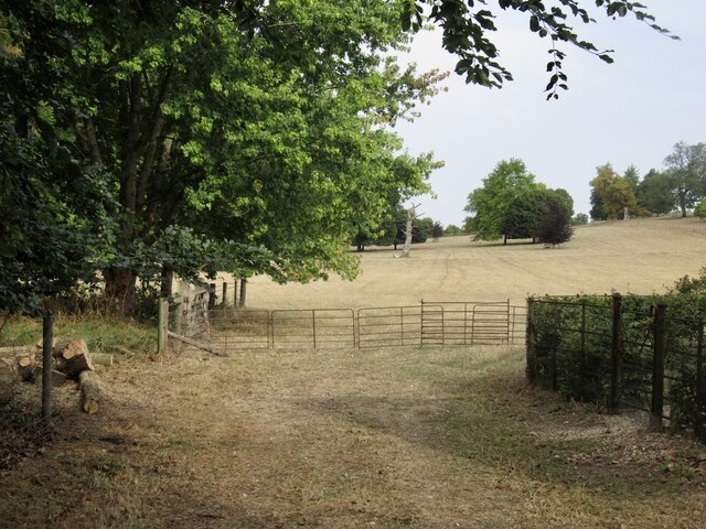
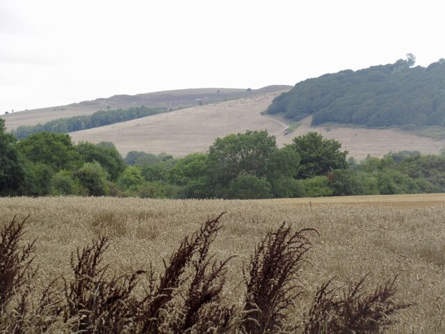
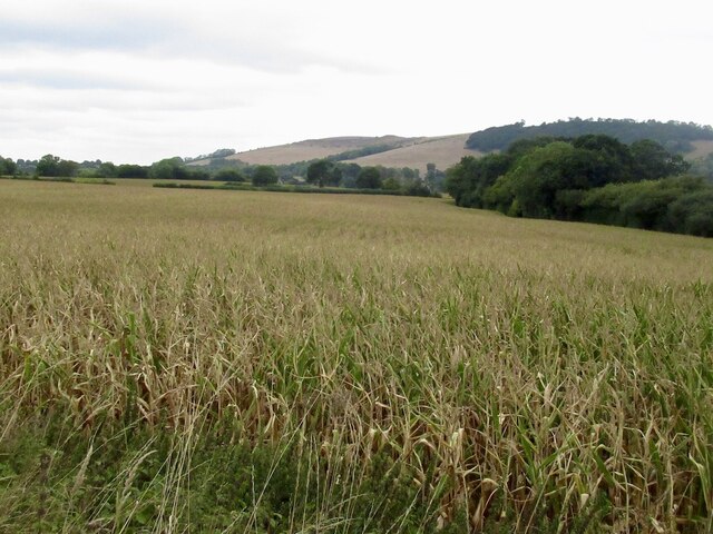
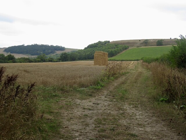
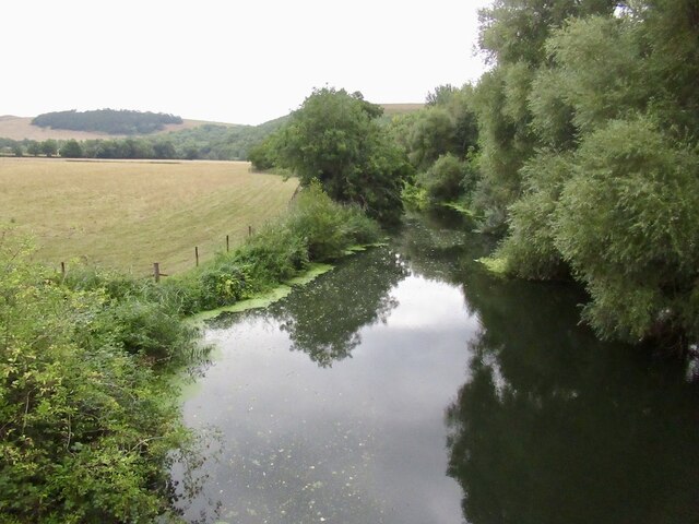
Paradise Wood, located in Dorset, is a picturesque forest that offers a serene and scenic escape for nature lovers and outdoor enthusiasts. Spanning over a vast area, this woodland treasure is a haven for those seeking tranquility and natural beauty.
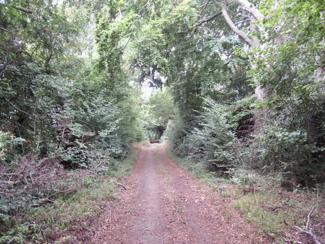
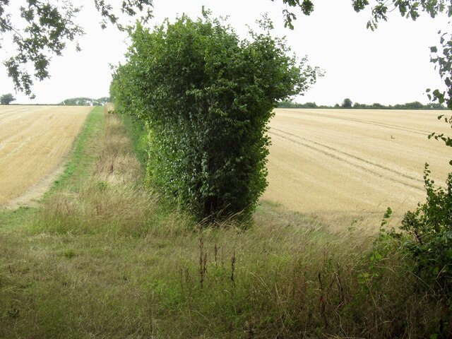
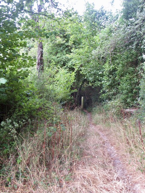
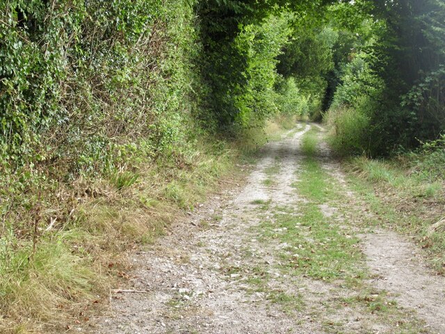
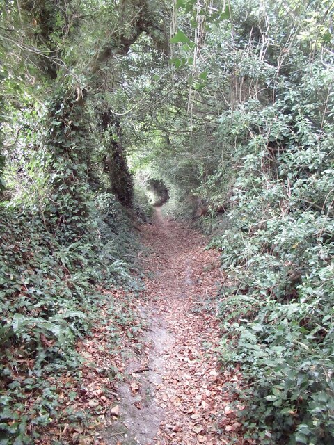
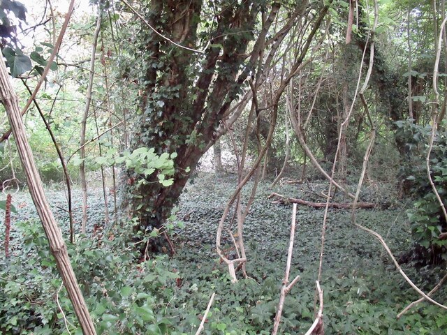
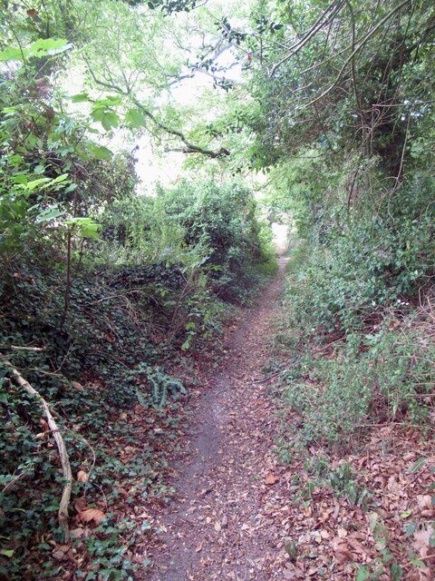
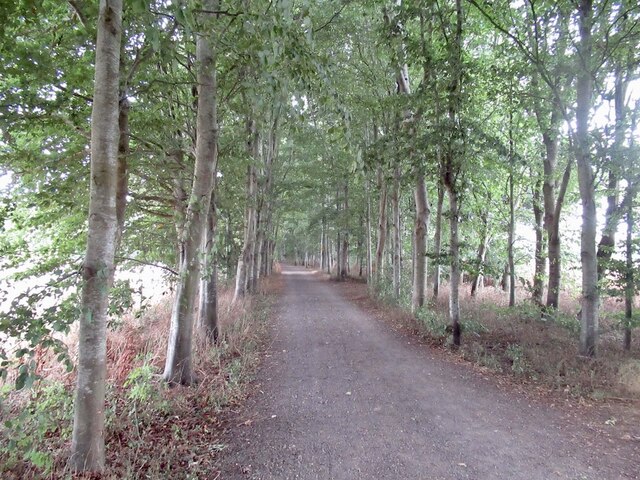
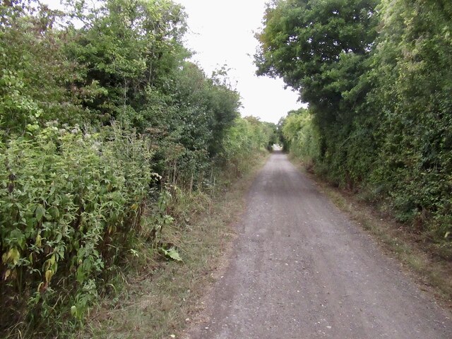
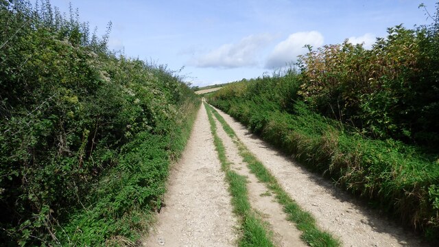
The wood is characterized by its dense and varied vegetation, consisting of a mix of deciduous and coniferous trees. Towering oak, beech, and ash trees dominate the landscape, providing a lush canopy that filters sunlight and creates a peaceful ambiance. The forest floor is covered with a carpet of moss, ferns, and wildflowers, adding to the enchanting atmosphere.
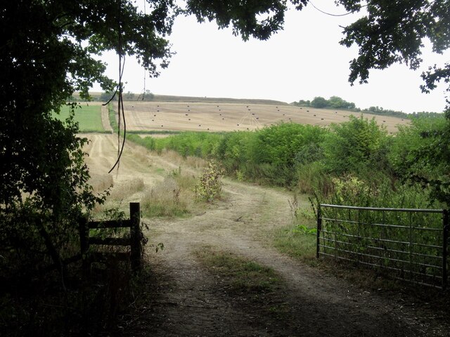
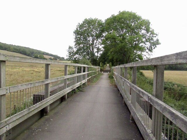
Traversing through Paradise Wood, visitors will discover a network of well-maintained trails that meander through the forest, offering opportunities for leisurely walks, hiking, and bird watching. The diverse ecosystem of the wood attracts an array of bird species, including woodpeckers, finches, and owls, making it a paradise for bird enthusiasts.
The woodland also houses a variety of wildlife, including deer, foxes, and rabbits, which can often be spotted amidst the trees or heard rustling in the undergrowth. Nature photographers will find ample opportunities to capture stunning shots of these creatures in their natural habitat.
Paradise Wood is a cherished recreational spot, attracting both locals and tourists alike. It serves as a peaceful retreat from the hustle and bustle of everyday life, providing a sanctuary where visitors can immerse themselves in the beauty of nature. Whether it's a leisurely stroll, a picnic under the shade of ancient trees, or simply the desire to reconnect with the natural world, Paradise Wood offers a truly idyllic experience.
If you have any feedback on the listing, please let us know in the comments section below.
Paradise Wood Images
Images are sourced within 2km of 50.90403/-2.202192 or Grid Reference ST8511. Thanks to Geograph Open Source API. All images are credited.
Paradise Wood is located at Grid Ref: ST8511 (Lat: 50.90403, Lng: -2.202192)
Unitary Authority: Dorset
Police Authority: Dorset
What 3 Words
///maternal.stammer.retina. Near Child Okeford, Dorset
Nearby Locations
Related Wikis

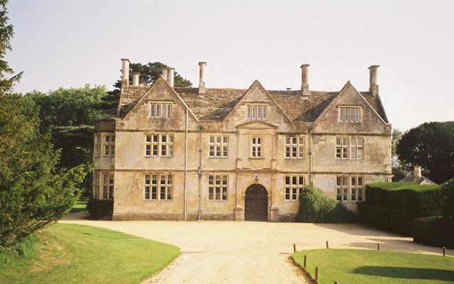
Stepleton House
Stepleton House is a 17th-century country house in the parish of Iwerne Stepleton in Dorset, situated about 5 kilometres (3 mi) north of Blandford Forum...

Hod Hill
Hod Hill (or Hodd Hill) is a large hill fort in the Blackmore Vale, 3 miles (5 km) north-west of Blandford Forum, Dorset, England. The fort sits on a 143...

Iwerne Courtney
Iwerne Courtney (), also known as Shroton, is a village and civil parish in the English county of Dorset. It lies approximately 4 miles (6 kilometres)...
Hanford, Dorset
Hanford is a village and civil parish in the administrative area North Dorset, in the English county Dorset. The parish had 154 inhabitants in 2001....

Ash (near Stourpaine)
Ash is a hamlet approximately 0.5 miles (1 km) north of the village of Stourpaine, Dorset, England.Ash was listed in the Domesday Book of 1086. == References... ==
Hanford School
Hanford School is a girls' boarding preparatory school located in Hanford, Child Okeford, Dorset, England, established in 1947 and located in a grade II...

Hambledon Hill
Hambledon Hill is a prehistoric hill fort in Dorset, England, in the Blackmore Vale five miles northwest of Blandford Forum. The hill itself is a chalk...
Iwerne Stepleton
Iwerne Stepleton (anciently Ewern Stapleton, etc.) is a small civil parish and former manor in the county of Dorset, England. The parish comprises about...
Nearby Amenities
Located within 500m of 50.90403,-2.202192Have you been to Paradise Wood?
Leave your review of Paradise Wood below (or comments, questions and feedback).