Leaze Wood

Wood, Forest in Gloucestershire Stroud

England

Leaze Wood

Frocester Hill Viewpoint Severn Valley view
Frocester Hill Viewpoint Credit: Bill Webb

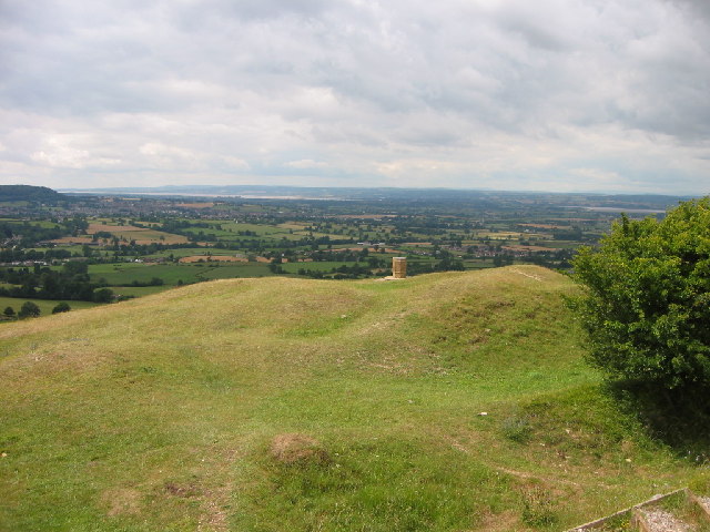
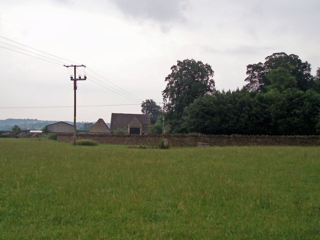
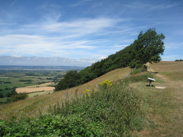
Leaze Wood is a picturesque forest located in Gloucestershire, England. Covering an area of approximately 100 acres, it is a popular destination for nature enthusiasts and outdoor enthusiasts alike. The wood is situated on the outskirts of the village of Leaze and is easily accessible by foot or car.

The wood is predominantly made up of a diverse range of deciduous trees, including oak, beech, and ash. This creates a rich and vibrant landscape, especially during the autumn months when the leaves change color, providing a stunning display of red, orange, and gold.

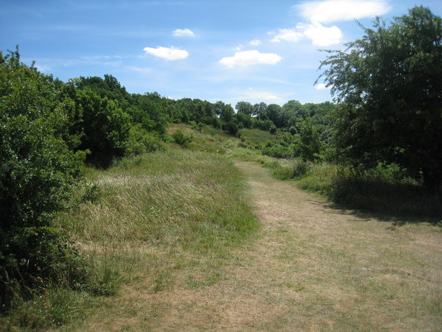
Within Leaze Wood, there are several well-maintained walking trails that wind their way through the forest, offering visitors the opportunity to explore and discover the natural beauty of the area. Along these trails, there are also informative signposts that provide interesting facts about the different tree species and wildlife that can be found in the wood.

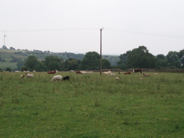
Birdwatchers will find Leaze Wood particularly appealing, as it is home to a variety of bird species, including woodpeckers, thrushes, and owls. The wood also provides habitat for small mammals such as squirrels, rabbits, and hedgehogs.

For those seeking a peaceful and tranquil setting, Leaze Wood offers several designated picnic areas where visitors can relax and enjoy the sights and sounds of nature. Camping facilities are not available within the wood, but there are nearby campsites for those wishing to extend their stay.

Overall, Leaze Wood in Gloucestershire provides a wonderful opportunity to escape the hustle and bustle of everyday life and immerse oneself in the beauty and tranquility of nature.

If you have any feedback on the listing, please let us know in the comments section below.
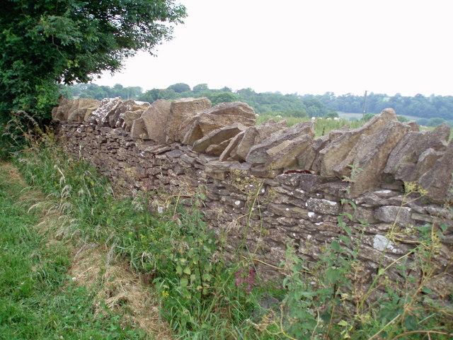
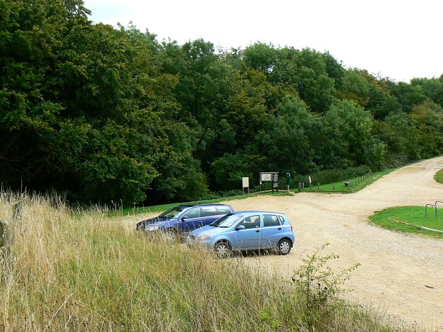
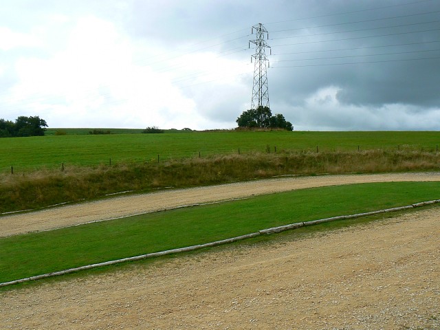
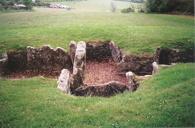
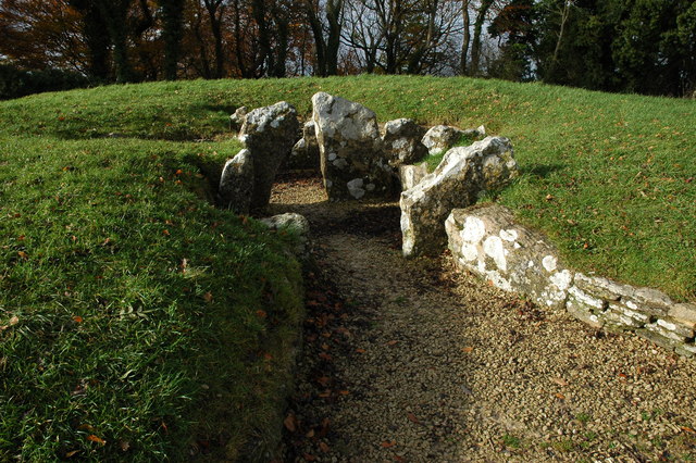
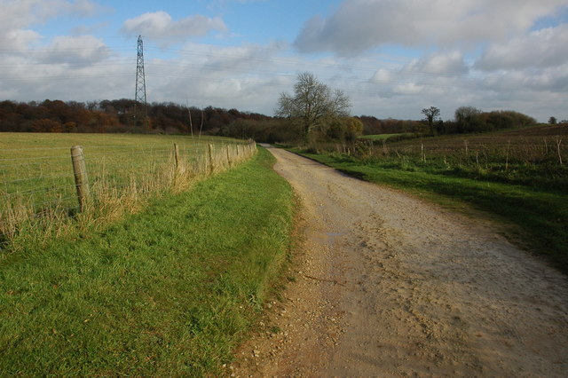
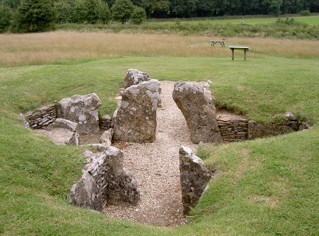
Leaze Wood Images

Images are sourced within 2km of 51.709599/-2.2711988 or Grid Reference SO8101. Thanks to Geograph Open Source API. All images are credited.

Frocester Hill Viewpoint Severn Valley view
Frocester Hill Viewpoint
Severn Valley view
View overlooking the Severn Vale from Hill This sort of view is one of the reasons we paraglide.  We can get interesting views of geographical features from the air as well!
View overlooking the Severn Vale from Hill
This sort of view is one of the reasons we paraglide. We can get interesting views of geographical features from the air as well!
Field Farm The main building of Field Farm is nestled behind the trees, not visible to the passer-by.  This photograph shows the outbuildings and wall which surrounds the farm complex.
Field Farm
The main building of Field Farm is nestled behind the trees, not visible to the passer-by. This photograph shows the outbuildings and wall which surrounds the farm complex.
Livestock scene A mixture of cattle and goats in this field on the outskirts of Nympsfield.  The windmill on Lynch Knoll can be seen in the far left corner of the photograph.
Livestock scene
A mixture of cattle and goats in this field on the outskirts of Nympsfield. The windmill on Lynch Knoll can be seen in the far left corner of the photograph.
Dry stone wall These dry stone walls are made of oolitic limestone (Cotswold stone) and are in good condition compared to many.
Dry stone wall
These dry stone walls are made of oolitic limestone (Cotswold stone) and are in good condition compared to many.
Woodchester Park car park, near Nympsfield The car park is reached via an unmade track with, this summer at least, quite a few puddles. The car park, once reached, is unremarkable. Not very busy today.
Woodchester Park car park, near Nympsfield
The car park is reached via an unmade track with, this summer at least, quite a few puddles. The car park, once reached, is unremarkable. Not very busy today.
Woodchester Park car park and a pylon, near Nympsfield The car park isn't hard-surfaced and the pylon isn't unusual. The weather was as dull as this snap.
Woodchester Park car park and a pylon, near Nympsfield
The car park isn't hard-surfaced and the pylon isn't unusual. The weather was as dull as this snap.
Nympsfield burial chamber This is very near the carpark viewpoint.
Nympsfield burial chamber
This is very near the carpark viewpoint.
Frocester Hill  viewpoint From the top of this hill, you can (on a clear day) see many of the places listed here (generally looking in a westerly direction)
Frocester Hill viewpoint
From the top of this hill, you can (on a clear day) see many of the places listed here (generally looking in a westerly direction)
View from top of Frocester Hill. In the foreground, farmland lies across the valley towards the River Severn and beyond the river is the Forest of Dean and Brecon Beacons. May Hill can be seen in the distance , towards the right of picture . Further details are at <a href="https://www.geograph.org.uk/photo/1014729">SO7901 : Frocester Hill  viewpoint</a>
View from top of Frocester Hill.
In the foreground, farmland lies across the valley towards the River Severn and beyond the river is the Forest of Dean and Brecon Beacons. May Hill can be seen in the distance , towards the right of picture . Further details are at SO7901 : Frocester Hill viewpoint
View from Frocester Hill View to the south-west from Coaley Peak on Frocester Hill. In the middle distance to the left of centre is Cam Long Down, beyond below the wooded hill in the centre is the town of Dursley. To the right is the valley is the Severn estuary.
View from Frocester Hill
View to the south-west from Coaley Peak on Frocester Hill. In the middle distance to the left of centre is Cam Long Down, beyond below the wooded hill in the centre is the town of Dursley. To the right is the valley is the Severn estuary.
Tree on Frocester Hill Tree on the edge of the Cotswold escarpment on Frocester Hill, beyond is the Vale of Berkeley and the Severn estuary with the high ground of the Forest of Dean on the horizon.
Tree on Frocester Hill
Tree on the edge of the Cotswold escarpment on Frocester Hill, beyond is the Vale of Berkeley and the Severn estuary with the high ground of the Forest of Dean on the horizon.
Nympsfield Long Barrow Nympsfield Long Barrow is on Frocester Hill, adjacent to the Coaley Peak Picnic Site, once it was covered by a mound 27m long by 18m wide and with a horned forecourt, it contained between 20 and 30 burials.
Nympsfield Long Barrow
Nympsfield Long Barrow is on Frocester Hill, adjacent to the Coaley Peak Picnic Site, once it was covered by a mound 27m long by 18m wide and with a horned forecourt, it contained between 20 and 30 burials.
Track to car park, Woodchester Park Track to the National Trust car park at the west end of Woodchester Park.
Track to car park, Woodchester Park
Track to the National Trust car park at the west end of Woodchester Park.
Nympsfield Long Barrow The remains of a Neolithic burial chamber almost 5000 years old, 17 sets of bones were found here of both adults and children.

Maintained by English Heritage.
Nympsfield Long Barrow
The remains of a Neolithic burial chamber almost 5000 years old, 17 sets of bones were found here of both adults and children. Maintained by English Heritage.
On Frocester Hill
On Frocester Hill
On Frocester Hill
On Frocester Hill
Coaley Peak car park entrance Entrance to viewpoint car park at top of Frocester Hill
Coaley Peak car park entrance
Entrance to viewpoint car park at top of Frocester Hill
Show me another place!

Leaze Wood is located at Grid Ref: SO8101 (Lat: 51.709599, Lng: -2.2711988)

Administrative County: Gloucestershire

District: Stroud

Police Authority: Gloucestershire

What 3 Words

///giraffes.adverbs.flickers. Near Nailsworth, Gloucestershire

Related Wikis

Easter Park Farm Quarry

Easter Park Farm Quarry (grid reference SO810009) is a 0.15-hectare (0.37-acre) geological Site of Special Scientific Interest in Gloucestershire, notified...

Woodchester Park SSSI

Woodchester Park (grid reference SO820014) is a 214.9-hectare (531-acre) biological Site of Special Scientific Interest in Gloucestershire, notified in...

Nympsfield

Nympsfield is a village and civil parish in the English county of Gloucestershire. It is located around four miles south-west of the town of Stroud. As...
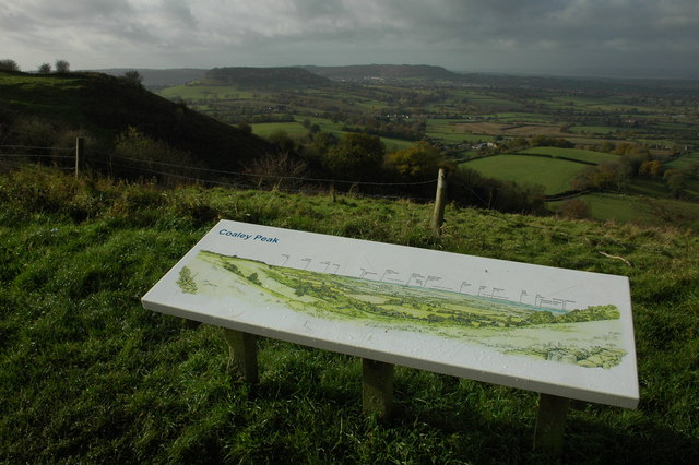
Coaley Peak

Coaley Peak is a picnic site and viewpoint in the English county of Gloucestershire. Located about 4 miles (6.4 km) south-west of the town of Stroud overlooking...

Leonard Stanley

Leonard Stanley, or Stanley St.Leonard, is a village and parish in Gloucestershire, England, 95 miles (150 km) west of London and 3.5 miles (5.5 km) southwest...

Convent of Poor Clares, Woodchester

A former Convent of Poor Clares is located in Woodchester, near Stroud in Gloucestershire. The convent was home to nuns of the Poor Clares order from 1850...

King's Stanley

King's Stanley is a civil parish and village in Gloucestershire, England, to the south of Stonehouse and southwest of the town of Stroud. == Geography... ==

The New Lawn

The New Lawn, also known as The Bolt New Lawn for sponsorship reasons, is a football stadium in Nailsworth, Gloucestershire. It has been the home stadium...

Nearby Amenities

Located within 500m of 51.709599,-2.2711988
Entrance: main
Lat/Long: 51.7105975/-2.2778846
Waste Basket
Waste: dog_excrement
Lat/Long: 51.7102903/-2.2778352
Barrier: stile
Lat/Long: 51.7101421/-2.2680711
Waste Basket
Waste: dog_excrement
Lat/Long: 51.7070639/-2.2702315
Waste Basket
Waste: dog_excrement
Lat/Long: 51.7053855/-2.2708356
Cafe
Woodchester Mansion Café
Description: Café is open on mansion open days
Fixme: Location in house is guesswork
Gluten Free: no
Indoor: yes
Lactose Free: no
Operator: Woodchester Mansion Trust
Lat/Long: 51.7108489/-2.277793
Noexit: yes
Lat/Long: 51.7091685/-2.266654
Toilets
Access: customers
Toilets Disposal: flush
Unisex: yes
Wheelchair: yes
Lat/Long: 51.705849/-2.270906
Toilets
Access: customers
Toilets Disposal: flush
Unisex: yes
Wheelchair: yes
Lat/Long: 51.7058344/-2.2709235
Board Type: nature
Information: board
Operator: National Trust
Tourism: information
Lat/Long: 51.7057925/-2.2704609
Man Made: water_tap
Lat/Long: 51.7109856/-2.2773888
The data included in this document is from www.openstreetmap.org. The data is made available under ODbL.

Have you been to Leaze Wood?

Leave your review of Leaze Wood below (or comments, questions and feedback).