Totney Firs
Wood, Forest in Wiltshire
England
Totney Firs

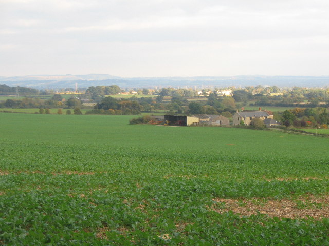
Totney Firs is a picturesque woodland located in Wiltshire, England. Covering an area of approximately 120 acres, it is known for its diverse range of tree species and natural beauty. The woodland is situated near the village of Totney and is easily accessible for nature enthusiasts and walkers.
The forest is dominated by a mixture of deciduous and coniferous trees, including oak, beech, pine, and spruce. These trees provide a rich habitat for various wildlife species, including birds, mammals, and insects. The forest floor is also home to an array of wildflowers, creating a vibrant and colorful landscape during the spring and summer months.
Totney Firs offers several well-marked trails, allowing visitors to explore the woodland at their own pace. These trails vary in length and difficulty, catering to both casual walkers and more experienced hikers. Along the way, visitors can enjoy breathtaking views of the surrounding countryside and may even spot some of the forest's inhabitants.
The woodland is managed by the local authorities, who ensure its preservation and protection. As a result, Totney Firs offers a tranquil and peaceful environment, perfect for those seeking respite from the hustle and bustle of everyday life. It is a popular spot for nature photography, birdwatching, and family outings.
Whether you are a nature lover, a keen walker, or simply looking for a peaceful retreat, Totney Firs in Wiltshire is a must-visit destination. With its stunning natural scenery and abundant wildlife, it offers a truly immersive experience in the heart of the English countryside.
If you have any feedback on the listing, please let us know in the comments section below.
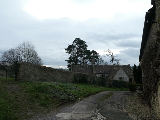
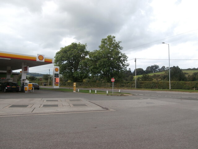
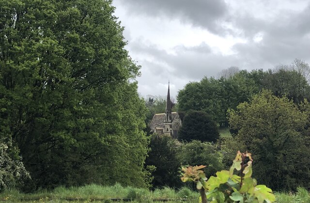
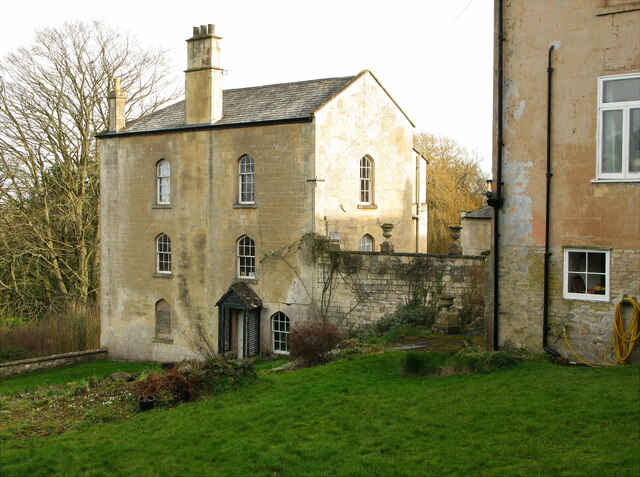
Totney Firs Images
Images are sourced within 2km of 51.410307/-2.2694084 or Grid Reference ST8167. Thanks to Geograph Open Source API. All images are credited.


Totney Firs is located at Grid Ref: ST8167 (Lat: 51.410307, Lng: -2.2694084)
Unitary Authority: Wiltshire
Police Authority: Wiltshire
What 3 Words
///worm.trio.chatters. Near Box, Wiltshire
Nearby Locations
Related Wikis

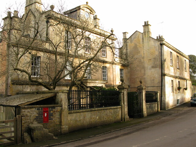
Ashley, Wiltshire
Ashley is a small village in the civil parish of Box in Wiltshire, England. Its nearest town is Corsham, which lies approximately 3.5 miles (5.6 km) east...

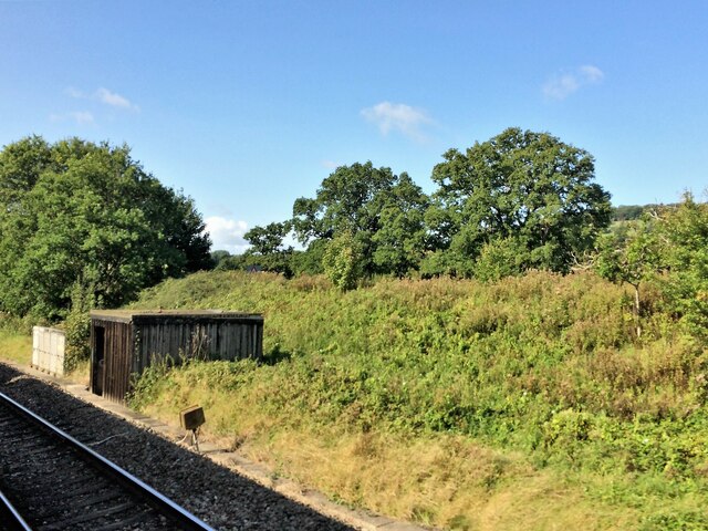
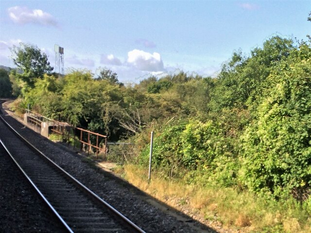
Box railway station
Box railway station served the town of Box in Wiltshire, England. The station was on the main Great Western Railway line from London to Bristol and was...

Kingsdown, Box
Kingsdown is a hamlet in the civil parish of Box, Wiltshire, England. It is about 1.5 miles (2.4 km) south-west of Box village and 1.2 miles (1.9 km) east...

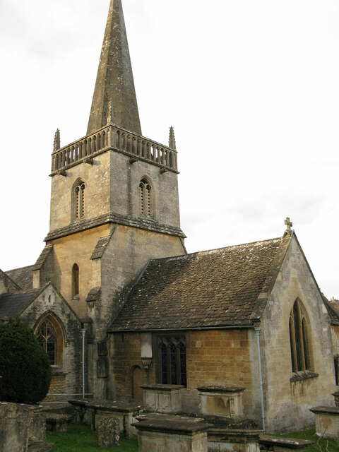
Church of St Thomas à Becket, Box
The Church of St. Thomas à Becket is the Church of England parish church of Box, Wiltshire, in south-west England. It is one of a number of churches named...
Nearby Amenities
Located within 500m of 51.410307,-2.2694084Have you been to Totney Firs?
Leave your review of Totney Firs below (or comments, questions and feedback).