Colepark Wood
Wood, Forest in Gloucestershire Stroud
England
Colepark Wood
Colepark Wood is a picturesque woodland located in Gloucestershire, England. Covering an area of approximately 100 acres, it is a popular destination for nature enthusiasts and outdoor enthusiasts alike. The wood is situated near the village of Coleford, nestled within the stunning Forest of Dean.
The wood is predominantly composed of native deciduous trees, including oak, beech, and birch. These majestic trees provide a serene and tranquil atmosphere, making it an ideal place for walking, picnicking, and wildlife spotting. The forest floor is adorned with a carpet of bluebells during the spring months, creating a vibrant and enchanting scene.
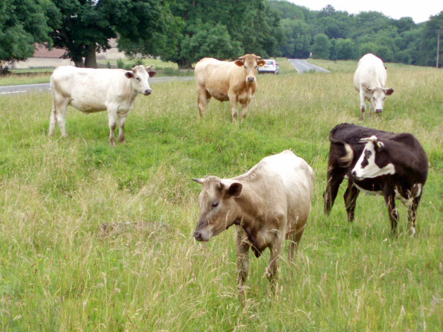
Numerous footpaths and trails wind their way through the wood, allowing visitors to explore its natural beauty at their own pace. These pathways are well-maintained and suitable for all levels of walkers, from casual strollers to more adventurous hikers. Along the trails, visitors may encounter a wide variety of wildlife, including deer, foxes, badgers, and an array of bird species.
In addition to its natural beauty, Colepark Wood also holds historical significance. It was once part of a larger hunting forest used by the royalty in medieval times. Today, remnants of this history can still be seen, with ancient boundary markers and the occasional hidden ruins.
Colepark Wood is a true gem in Gloucestershire's natural landscape, offering a peaceful retreat from the bustling modern world. Its combination of scenic beauty, diverse flora and fauna, and historical significance make it a must-visit destination for nature lovers and history enthusiasts alike.
If you have any feedback on the listing, please let us know in the comments section below.
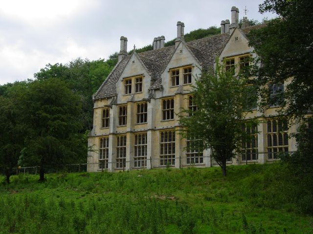
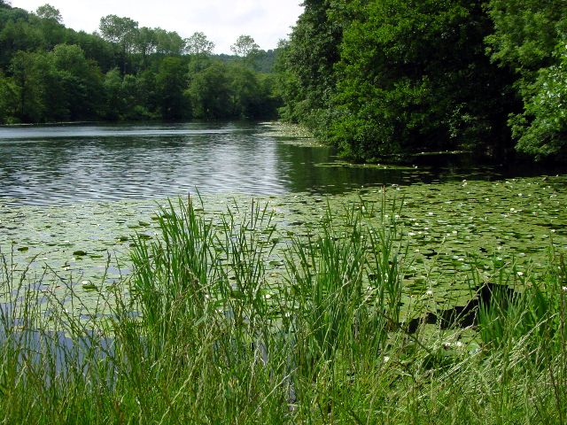
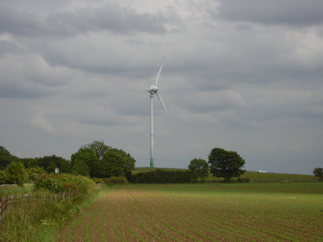
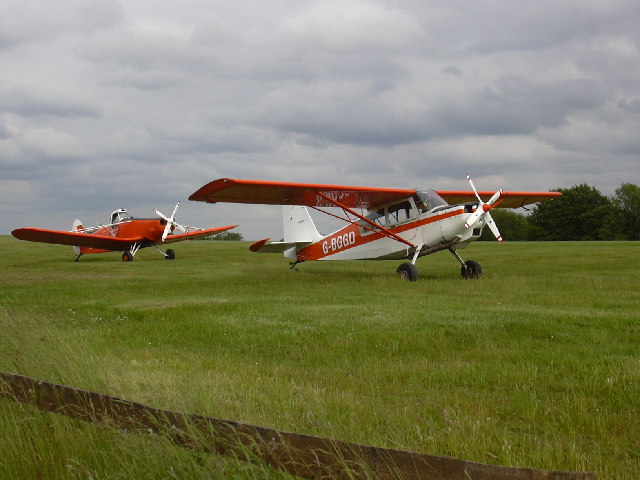
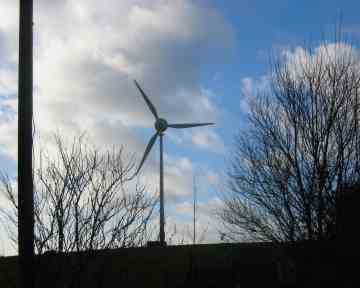
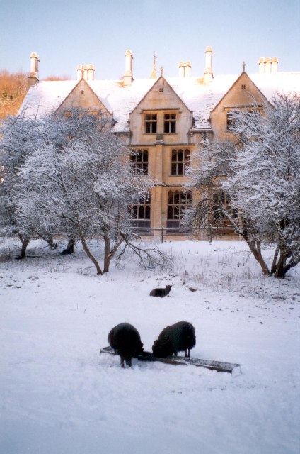
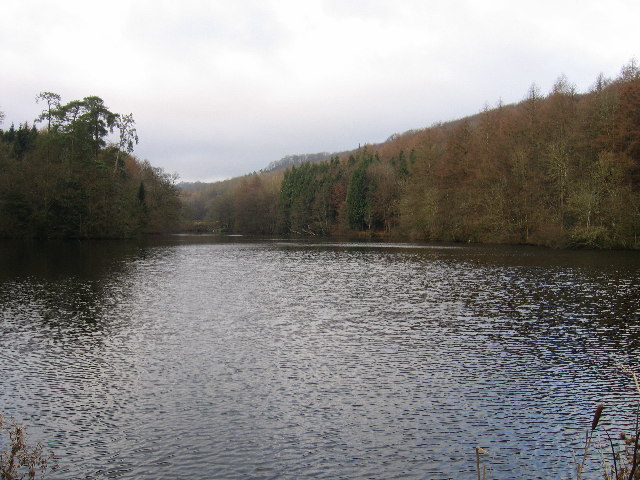
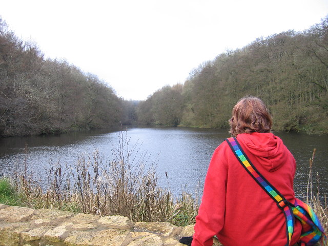
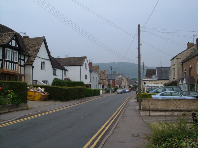
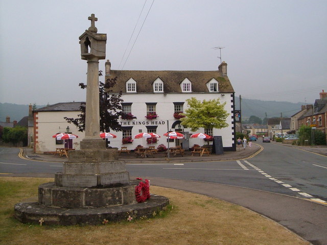
Colepark Wood Images
Images are sourced within 2km of 51.714069/-2.2629175 or Grid Reference SO8101. Thanks to Geograph Open Source API. All images are credited.


Colepark Wood is located at Grid Ref: SO8101 (Lat: 51.714069, Lng: -2.2629175)
Administrative County: Gloucestershire
District: Stroud
Police Authority: Gloucestershire
What 3 Words
///bulldozer.delay.crawling. Near Nailsworth, Gloucestershire
Nearby Locations
Related Wikis

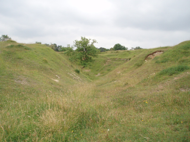
Woodchester Park SSSI
Woodchester Park (grid reference SO820014) is a 214.9-hectare (531-acre) biological Site of Special Scientific Interest in Gloucestershire, notified in...

Easter Park Farm Quarry
Easter Park Farm Quarry (grid reference SO810009) is a 0.15-hectare (0.37-acre) geological Site of Special Scientific Interest in Gloucestershire, notified...

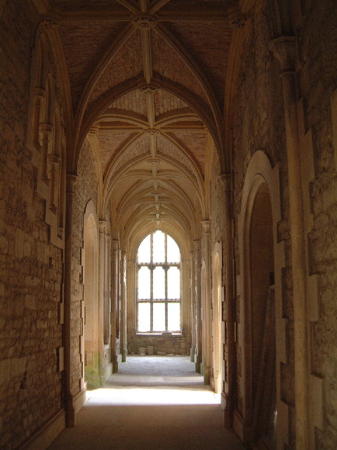
Convent of Poor Clares, Woodchester
A former Convent of Poor Clares is located in Woodchester, near Stroud in Gloucestershire. The convent was home to nuns of the Poor Clares order from 1850...

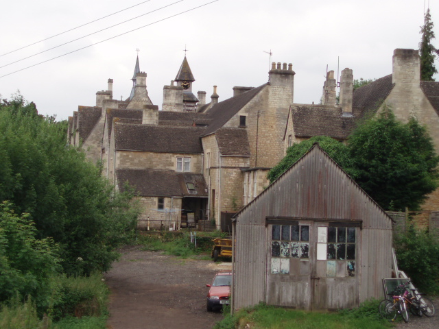
Woodchester
Woodchester is a Gloucestershire village in the Nailsworth (or Woodchester) Valley, a valley in the South Cotswolds in England, running southwards from...

Nympsfield
Nympsfield is a village and civil parish in the English county of Gloucestershire. It is located around four miles south-west of the town of Stroud. As...

Selsley
Selsley is a village within the civil parish of King's Stanley and district of Stroud, in Gloucestershire, England. It is composed of around 175 houses...

King's Stanley
King's Stanley is a civil parish and village in Gloucestershire, England, to the south of Stonehouse and southwest of the town of Stroud. == Geography... ==
Woodchester railway station
Woodchester railway station served the villages of Woodchester and Amberley in Gloucestershire, England. It was on the 9.3 km-long Stonehouse and Nailsworth...
Nearby Amenities
Located within 500m of 51.714069,-2.2629175Have you been to Colepark Wood?
Leave your review of Colepark Wood below (or comments, questions and feedback).