Stoneshard Wood

Wood, Forest in Gloucestershire Stroud

England

Stoneshard Wood

Field Farm The main building of Field Farm is nestled behind the trees, not visible to the passer-by.  This photograph shows the outbuildings and wall which surrounds the farm complex.
Field Farm Credit: Sharon Loxton

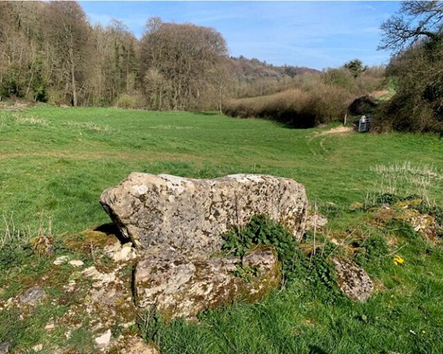
Stoneshard Wood is a picturesque forest located in the county of Gloucestershire, England. Covering an area of approximately 500 acres, this woodland is renowned for its natural beauty and diverse ecosystem.

The forest is primarily composed of deciduous trees such as oak, beech, and ash, creating a vibrant and colorful landscape throughout the year. The dense canopy provides shelter for a variety of wildlife, including deer, foxes, and numerous bird species, making it a popular spot for nature enthusiasts and birdwatchers.

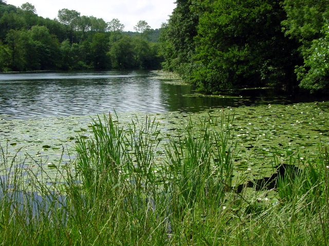
Stoneshard Wood offers a network of well-maintained walking trails, allowing visitors to explore its stunning surroundings at their own pace. The trails wind through the forest, providing glimpses of hidden ponds, babbling brooks, and breathtaking views of the surrounding countryside.

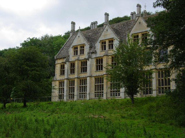
In addition to its natural beauty, the forest has a rich history dating back centuries. It is believed to have been used as a hunting ground by nobility in medieval times, and remnants of old hunting lodges can still be found within its boundaries. The wood also played a significant role in the timber industry during the 19th and early 20th centuries, with several sawmills operating in the area.

Today, Stoneshard Wood is managed by a local conservation organization, which ensures the preservation of its natural heritage. It is a place where visitors can escape the hustle and bustle of modern life, immerse themselves in nature, and experience the tranquility of this enchanting woodland.

If you have any feedback on the listing, please let us know in the comments section below.

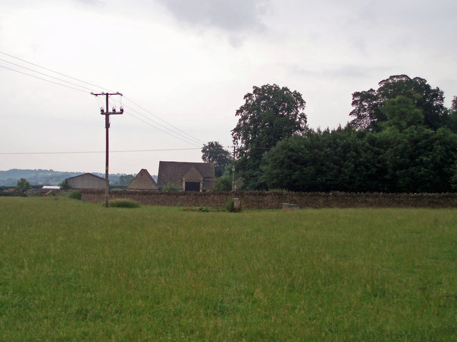
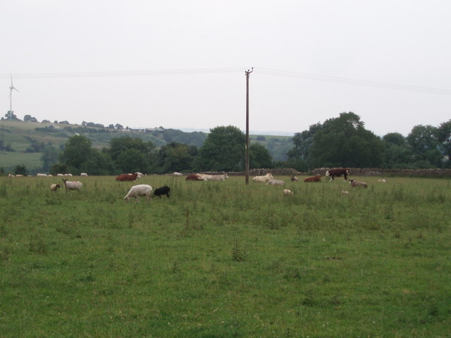
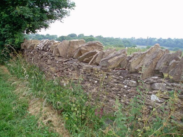
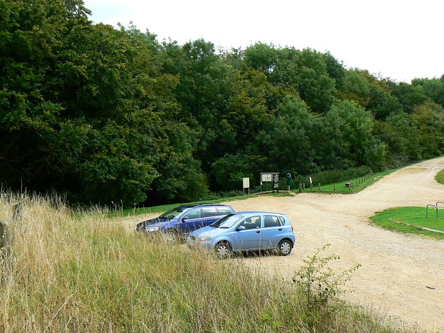
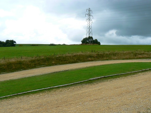
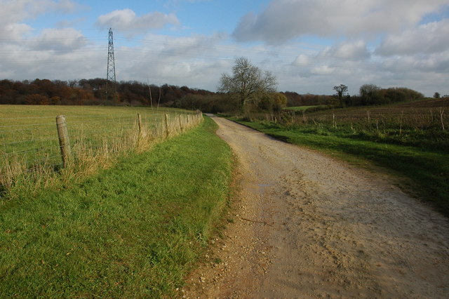
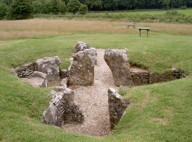
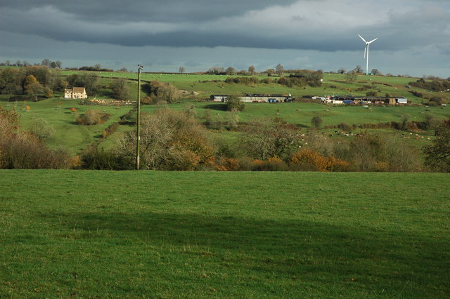
Stoneshard Wood Images

Images are sourced within 2km of 51.709452/-2.2685495 or Grid Reference SO8101. Thanks to Geograph Open Source API. All images are credited.

Field Farm The main building of Field Farm is nestled behind the trees, not visible to the passer-by.  This photograph shows the outbuildings and wall which surrounds the farm complex.
Field Farm
The main building of Field Farm is nestled behind the trees, not visible to the passer-by. This photograph shows the outbuildings and wall which surrounds the farm complex.
Livestock scene A mixture of cattle and goats in this field on the outskirts of Nympsfield.  The windmill on Lynch Knoll can be seen in the far left corner of the photograph.
Livestock scene
A mixture of cattle and goats in this field on the outskirts of Nympsfield. The windmill on Lynch Knoll can be seen in the far left corner of the photograph.
Dry stone wall These dry stone walls are made of oolitic limestone (Cotswold stone) and are in good condition compared to many.
Dry stone wall
These dry stone walls are made of oolitic limestone (Cotswold stone) and are in good condition compared to many.
Woodchester Park car park, near Nympsfield The car park is reached via an unmade track with, this summer at least, quite a few puddles. The car park, once reached, is unremarkable. Not very busy today.
Woodchester Park car park, near Nympsfield
The car park is reached via an unmade track with, this summer at least, quite a few puddles. The car park, once reached, is unremarkable. Not very busy today.
Woodchester Park car park and a pylon, near Nympsfield The car park isn't hard-surfaced and the pylon isn't unusual. The weather was as dull as this snap.
Woodchester Park car park and a pylon, near Nympsfield
The car park isn't hard-surfaced and the pylon isn't unusual. The weather was as dull as this snap.
Track to car park, Woodchester Park Track to the National Trust car park at the west end of Woodchester Park.
Track to car park, Woodchester Park
Track to the National Trust car park at the west end of Woodchester Park.
Nympsfield Long Barrow The remains of a Neolithic burial chamber almost 5000 years old, 17 sets of bones were found here of both adults and children.

Maintained by English Heritage.
Nympsfield Long Barrow
The remains of a Neolithic burial chamber almost 5000 years old, 17 sets of bones were found here of both adults and children. Maintained by English Heritage.
Farmland at Nympsfield View across a valley to the wind turbine on Lynch Knoll.
Farmland at Nympsfield
View across a valley to the wind turbine on Lynch Knoll.
Stone Stile, Lower Lutheridge Farm GS1414 On Gloucestershire footpath CNY13, near Lower Lutheridge Farm, Horsley.
Stone Stile, Lower Lutheridge Farm GS1414
On Gloucestershire footpath CNY13, near Lower Lutheridge Farm, Horsley.
Stone Stile, Nympsfield On Gloucestershire footpath CNY13 looking West in the direction of Nympsfield.
Stone Stile, Nympsfield
On Gloucestershire footpath CNY13 looking West in the direction of Nympsfield.
Stone Stile, Nympsfield A "Fallen Idle" on Gloucestershire footpath CNY13 looking East. A large slab left to stabalise the ground at the field boundary/stile.
Stone Stile, Nympsfield
A "Fallen Idle" on Gloucestershire footpath CNY13 looking East. A large slab left to stabalise the ground at the field boundary/stile.
Woodchester Mansion
Woodchester Mansion
Lake at Woodchester Park
Wind Turbine at Nympsfield A solitary wind turbine just outside the village of Nympsfield in the Cotswolds
Wind Turbine at Nympsfield
A solitary wind turbine just outside the village of Nympsfield in the Cotswolds
Bristol and Gloucestershire Gliding Club Planes on the air strip at the Bristol and Gloucestershire Gliding Club
Bristol and Gloucestershire Gliding Club
Planes on the air strip at the Bristol and Gloucestershire Gliding Club
Lone Generator at Lynch Knoll The wind turbine is in an ideal spot for steady winds
Lone Generator at Lynch Knoll
The wind turbine is in an ideal spot for steady winds
Nympsfield (Glos) St Bartholomew's Church
Woodchester Mansion in snow
Show me another place!

Stoneshard Wood is located at Grid Ref: SO8101 (Lat: 51.709452, Lng: -2.2685495)

Administrative County: Gloucestershire

District: Stroud

Police Authority: Gloucestershire

What 3 Words

///paces.trickles.meaty. Near Nailsworth, Gloucestershire

Related Wikis

Easter Park Farm Quarry

Easter Park Farm Quarry (grid reference SO810009) is a 0.15-hectare (0.37-acre) geological Site of Special Scientific Interest in Gloucestershire, notified...

Woodchester Park SSSI

Woodchester Park (grid reference SO820014) is a 214.9-hectare (531-acre) biological Site of Special Scientific Interest in Gloucestershire, notified in...

Nympsfield

Nympsfield is a village and civil parish in the English county of Gloucestershire. It is located around four miles south-west of the town of Stroud. As...

Coaley Peak

Coaley Peak is a picnic site and viewpoint in the English county of Gloucestershire. Located about 4 miles (6.4 km) south-west of the town of Stroud overlooking...

Convent of Poor Clares, Woodchester

A former Convent of Poor Clares is located in Woodchester, near Stroud in Gloucestershire. The convent was home to nuns of the Poor Clares order from 1850...

The New Lawn

The New Lawn, also known as The Bolt New Lawn for sponsorship reasons, is a football stadium in Nailsworth, Gloucestershire. It has been the home stadium...

Woodchester

Woodchester is a Gloucestershire village in the Nailsworth (or Woodchester) Valley, a valley in the South Cotswolds in England, running southwards from...

Leonard Stanley

Leonard Stanley, or Stanley St.Leonard, is a village and parish in Gloucestershire, England, 95 miles (150 km) west of London and 3.5 miles (5.5 km) southwest...

Nearby Amenities

Located within 500m of 51.709452,-2.2685495
Barrier: kissing_gate
Bicycle: no
Foot: yes
Lat/Long: 51.7123095/-2.2647314
Barrier: stile
Lat/Long: 51.7101421/-2.2680711
Waste Basket
Waste: dog_excrement
Lat/Long: 51.7070639/-2.2702315
Waste Basket
Waste: dog_excrement
Lat/Long: 51.7053855/-2.2708356
Noexit: yes
Lat/Long: 51.7091685/-2.266654
Barrier: kissing_gate
Lat/Long: 51.7102771/-2.2631584
Barrier: kissing_gate
Lat/Long: 51.7115554/-2.2631157
Toilets
Access: customers
Toilets Disposal: flush
Unisex: yes
Wheelchair: yes
Lat/Long: 51.705849/-2.270906
Toilets
Access: customers
Toilets Disposal: flush
Unisex: yes
Wheelchair: yes
Lat/Long: 51.7058344/-2.2709235
Board Type: nature
Information: board
Operator: National Trust
Tourism: information
Lat/Long: 51.7057925/-2.2704609
The data included in this document is from www.openstreetmap.org. The data is made available under ODbL.

Have you been to Stoneshard Wood?

Leave your review of Stoneshard Wood below (or comments, questions and feedback).