Brick Kiln Pond

Lake, Pool, Pond, Freshwater Marsh in Gloucestershire Stroud

England

Brick Kiln Pond

Frocester Hill Viewpoint Severn Valley view
Frocester Hill Viewpoint Credit: Bill Webb

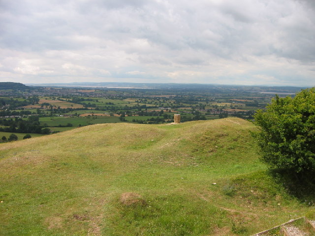
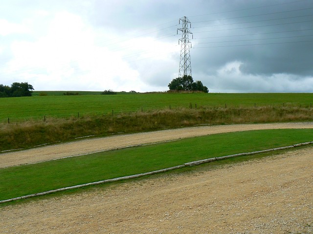
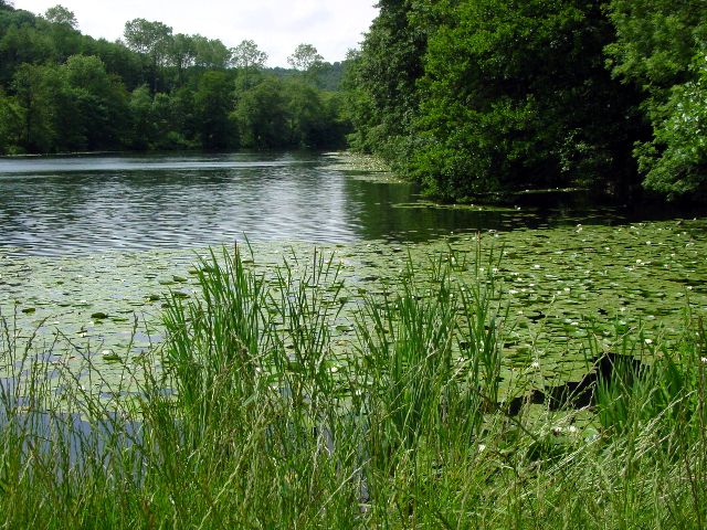
Brick Kiln Pond is a picturesque freshwater marsh located in Gloucestershire, England. Situated in the idyllic countryside, the pond is a hidden gem for nature enthusiasts and locals seeking tranquility. Spanning an area of approximately 5 acres, the pond is surrounded by lush greenery and offers a serene escape from the hustle and bustle of daily life.

The pond gets its name from the nearby brick kiln that was once used for brick production in the area. Today, the kiln stands as a historic relic, adding to the charm of the surroundings. Fed by natural springs and rainwater, the pond boasts crystal-clear waters that support a diverse ecosystem.

The pond is home to a variety of aquatic plants, including lilies and reeds, which provide shelter and food for numerous species of birds, insects, and amphibians. Visitors can often spot graceful swans gliding across the water, while ducks and geese paddle along the pond's edges. The vibrant colors of dragonflies and butterflies add to the pond's natural beauty.

For wildlife enthusiasts, Brick Kiln Pond is a haven for birdwatching. The pond attracts a wide range of bird species, including kingfishers, herons, and various waterfowl. The peaceful ambiance and abundant wildlife make it an ideal spot for photography and nature walks.

The pond is easily accessible, with a footpath that encircles it, allowing visitors to fully appreciate its scenic beauty. With its tranquil atmosphere and rich biodiversity, Brick Kiln Pond offers a delightful escape into nature for all who visit.

If you have any feedback on the listing, please let us know in the comments section below.

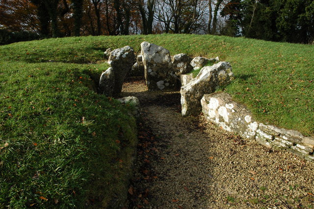
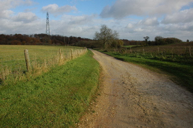
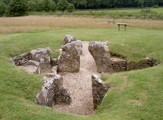
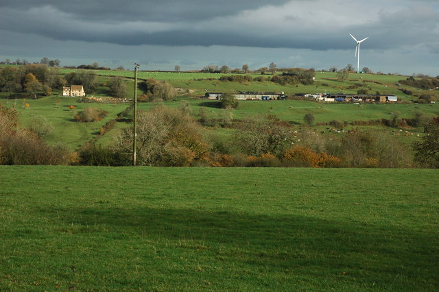
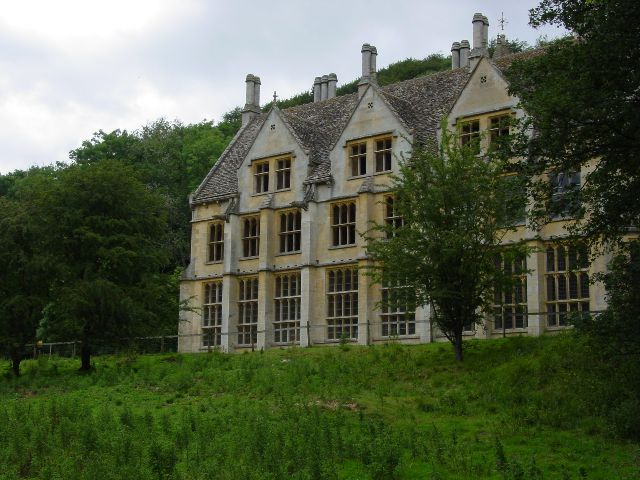
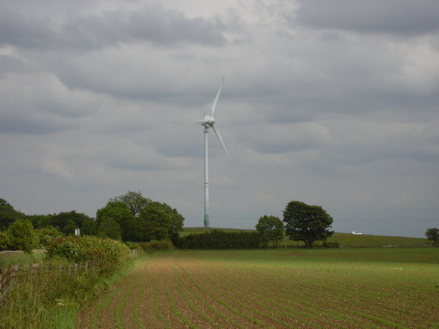
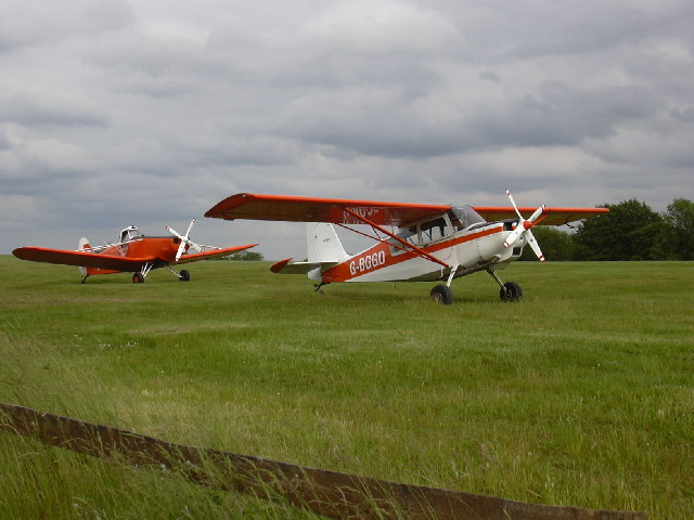
Brick Kiln Pond Images

Images are sourced within 2km of 51.712037/-2.2707213 or Grid Reference SO8101. Thanks to Geograph Open Source API. All images are credited.

Frocester Hill Viewpoint Severn Valley view
Frocester Hill Viewpoint
Severn Valley view
View overlooking the Severn Vale from Hill This sort of view is one of the reasons we paraglide.  We can get interesting views of geographical features from the air as well!
View overlooking the Severn Vale from Hill
This sort of view is one of the reasons we paraglide. We can get interesting views of geographical features from the air as well!
Livestock scene A mixture of cattle and goats in this field on the outskirts of Nympsfield.  The windmill on Lynch Knoll can be seen in the far left corner of the photograph.
Livestock scene
A mixture of cattle and goats in this field on the outskirts of Nympsfield. The windmill on Lynch Knoll can be seen in the far left corner of the photograph.
Woodchester Park car park, near Nympsfield The car park is reached via an unmade track with, this summer at least, quite a few puddles. The car park, once reached, is unremarkable. Not very busy today.
Woodchester Park car park, near Nympsfield
The car park is reached via an unmade track with, this summer at least, quite a few puddles. The car park, once reached, is unremarkable. Not very busy today.
Woodchester Park car park and a pylon, near Nympsfield The car park isn't hard-surfaced and the pylon isn't unusual. The weather was as dull as this snap.
Woodchester Park car park and a pylon, near Nympsfield
The car park isn't hard-surfaced and the pylon isn't unusual. The weather was as dull as this snap.
Nympsfield burial chamber This is very near the carpark viewpoint.
Nympsfield burial chamber
This is very near the carpark viewpoint.
View from top of Frocester Hill. In the foreground, farmland lies across the valley towards the River Severn and beyond the river is the Forest of Dean and Brecon Beacons. May Hill can be seen in the distance , towards the right of picture . Further details are at <a href="https://www.geograph.org.uk/photo/1014729">SO7901 : Frocester Hill  viewpoint</a>
View from top of Frocester Hill.
In the foreground, farmland lies across the valley towards the River Severn and beyond the river is the Forest of Dean and Brecon Beacons. May Hill can be seen in the distance , towards the right of picture . Further details are at SO7901 : Frocester Hill viewpoint
View from Frocester Hill View to the south-west from Coaley Peak on Frocester Hill. In the middle distance to the left of centre is Cam Long Down, beyond below the wooded hill in the centre is the town of Dursley. To the right is the valley is the Severn estuary.
View from Frocester Hill
View to the south-west from Coaley Peak on Frocester Hill. In the middle distance to the left of centre is Cam Long Down, beyond below the wooded hill in the centre is the town of Dursley. To the right is the valley is the Severn estuary.
Nympsfield Long Barrow Nympsfield Long Barrow is on Frocester Hill, adjacent to the Coaley Peak Picnic Site, once it was covered by a mound 27m long by 18m wide and with a horned forecourt, it contained between 20 and 30 burials.
Nympsfield Long Barrow
Nympsfield Long Barrow is on Frocester Hill, adjacent to the Coaley Peak Picnic Site, once it was covered by a mound 27m long by 18m wide and with a horned forecourt, it contained between 20 and 30 burials.
Track to car park, Woodchester Park Track to the National Trust car park at the west end of Woodchester Park.
Track to car park, Woodchester Park
Track to the National Trust car park at the west end of Woodchester Park.
Nympsfield Long Barrow The remains of a Neolithic burial chamber almost 5000 years old, 17 sets of bones were found here of both adults and children.

Maintained by English Heritage.
Nympsfield Long Barrow
The remains of a Neolithic burial chamber almost 5000 years old, 17 sets of bones were found here of both adults and children. Maintained by English Heritage.
Farmland at Nympsfield View across a valley to the wind turbine on Lynch Knoll.
Farmland at Nympsfield
View across a valley to the wind turbine on Lynch Knoll.
Stone Stile, Nympsfield On Gloucestershire footpath CNY13 looking West in the direction of Nympsfield.
Stone Stile, Nympsfield
On Gloucestershire footpath CNY13 looking West in the direction of Nympsfield.
Stone Stile, Nympsfield A "Fallen Idle" on Gloucestershire footpath CNY13 looking East. A large slab left to stabalise the ground at the field boundary/stile.
Stone Stile, Nympsfield
A "Fallen Idle" on Gloucestershire footpath CNY13 looking East. A large slab left to stabalise the ground at the field boundary/stile.
Woodchester Mansion
Woodchester Mansion
Lake at Woodchester Park
Wind Turbine at Nympsfield A solitary wind turbine just outside the village of Nympsfield in the Cotswolds
Wind Turbine at Nympsfield
A solitary wind turbine just outside the village of Nympsfield in the Cotswolds
Bristol and Gloucestershire Gliding Club Planes on the air strip at the Bristol and Gloucestershire Gliding Club
Bristol and Gloucestershire Gliding Club
Planes on the air strip at the Bristol and Gloucestershire Gliding Club
Show me another place!

Brick Kiln Pond is located at Grid Ref: SO8101 (Lat: 51.712037, Lng: -2.2707213)

Administrative County: Gloucestershire

District: Stroud

Police Authority: Gloucestershire

What 3 Words

///deflection.sidelined.treating. Near Nailsworth, Gloucestershire

Related Wikis

Woodchester Park SSSI

Woodchester Park (grid reference SO820014) is a 214.9-hectare (531-acre) biological Site of Special Scientific Interest in Gloucestershire, notified in...

Easter Park Farm Quarry

Easter Park Farm Quarry (grid reference SO810009) is a 0.15-hectare (0.37-acre) geological Site of Special Scientific Interest in Gloucestershire, notified...

Nympsfield

Nympsfield is a village and civil parish in the English county of Gloucestershire. It is located around four miles south-west of the town of Stroud. As...

Coaley Peak

Coaley Peak is a picnic site and viewpoint in the English county of Gloucestershire. Located about 4 miles (6.4 km) south-west of the town of Stroud overlooking...

Leonard Stanley

Leonard Stanley, or Stanley St.Leonard, is a village and parish in Gloucestershire, England, 95 miles (150 km) west of London and 3.5 miles (5.5 km) southwest...

King's Stanley

King's Stanley is a civil parish and village in Gloucestershire, England, to the south of Stonehouse and southwest of the town of Stroud. == Geography... ==

Convent of Poor Clares, Woodchester

A former Convent of Poor Clares is located in Woodchester, near Stroud in Gloucestershire. The convent was home to nuns of the Poor Clares order from 1850...

Woodchester

Woodchester is a Gloucestershire village in the Nailsworth (or Woodchester) Valley, a valley in the South Cotswolds in England, running southwards from...

Nearby Amenities

Located within 500m of 51.712037,-2.2707213
Barrier: kissing_gate
Bicycle: no
Foot: yes
Lat/Long: 51.7123095/-2.2647314
Barrier: stile
Lat/Long: 51.7101421/-2.2680711
Noexit: yes
Lat/Long: 51.7091685/-2.266654
The data included in this document is from www.openstreetmap.org. The data is made available under ODbL.

Have you been to Brick Kiln Pond?

Leave your review of Brick Kiln Pond below (or comments, questions and feedback).