Hole Plantation
Wood, Forest in Dorset
England
Hole Plantation
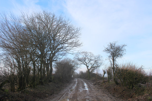
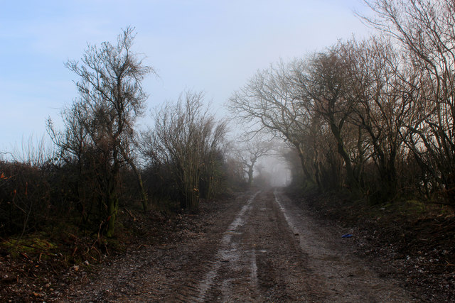
Hole Plantation is a picturesque woodland located in the county of Dorset, England. Situated near the small village of Hole, the plantation covers an area of approximately 100 acres. It is a well-preserved forest that offers visitors a glimpse of the region's natural beauty.
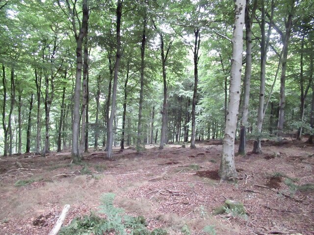
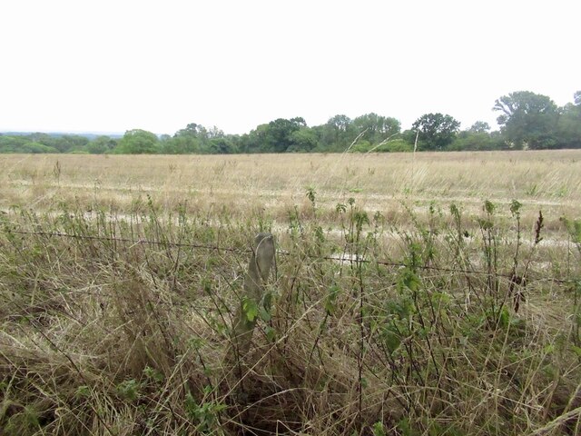
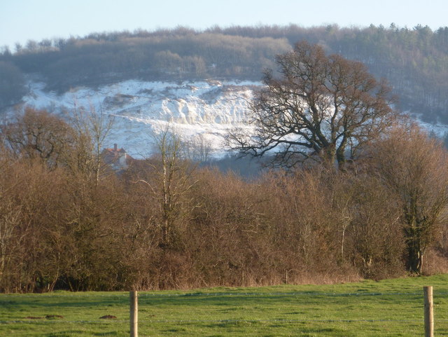
The woodland consists mainly of deciduous trees, including oak, beech, and birch. These trees create a rich and diverse habitat for a variety of wildlife. Visitors to Hole Plantation can expect to see an array of bird species, such as woodpeckers, owls, and songbirds. Additionally, the forest is home to small mammals like squirrels and rabbits.
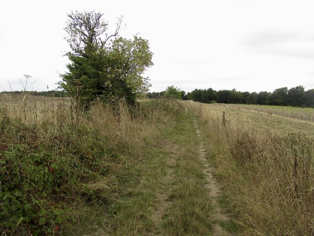
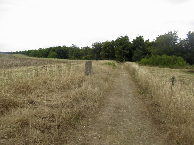
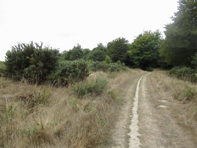
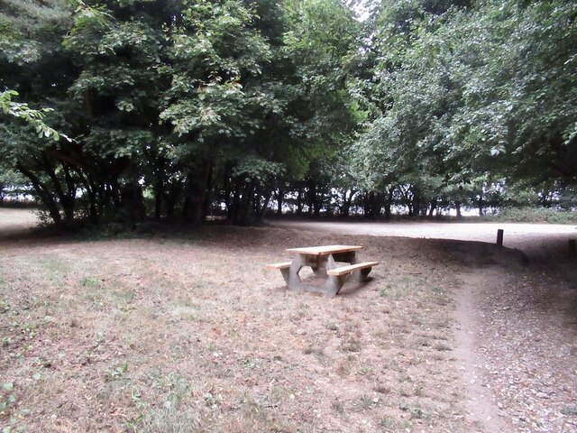
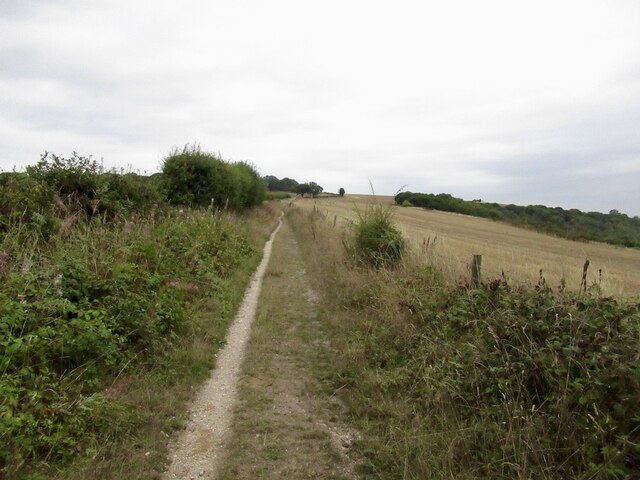
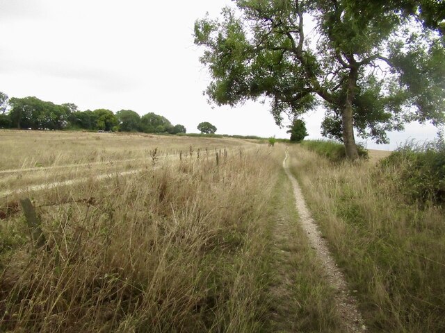
The plantation features well-maintained walking paths that allow visitors to explore the forest at their own pace. These trails wind through the trees, offering stunning views of the surrounding countryside. Along the way, visitors may come across occasional benches, providing a peaceful spot to rest and enjoy the tranquility of the woodland.
Hole Plantation is a popular destination for nature enthusiasts and hikers. The forest's remote location ensures a peaceful and serene environment, perfect for those seeking an escape from the hustle and bustle of daily life. The plantation is also a great place for families, as children can enjoy the freedom of running and playing in the open spaces.
Overall, Hole Plantation in Dorset is a beautiful and well-preserved woodland, offering visitors a chance to immerse themselves in nature and experience the tranquility of the countryside.
If you have any feedback on the listing, please let us know in the comments section below.
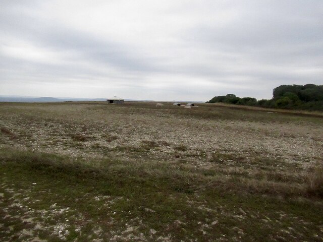
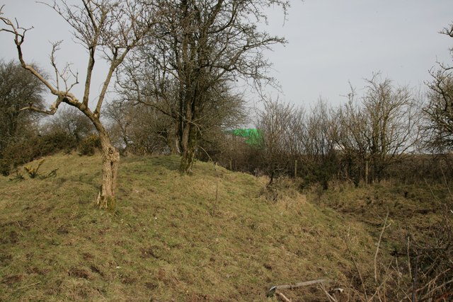
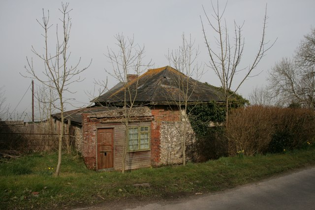
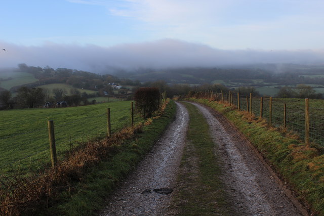
Hole Plantation Images
Images are sourced within 2km of 50.87249/-2.270855 or Grid Reference ST8108. Thanks to Geograph Open Source API. All images are credited.


Hole Plantation is located at Grid Ref: ST8108 (Lat: 50.87249, Lng: -2.270855)
Unitary Authority: Dorset
Police Authority: Dorset
What 3 Words
///tolerates.sensual.belts. Near Shillingstone, Dorset
Nearby Locations
Related Wikis

Ringmoor
The Ringmoor settlement is an Iron Age/Romano-British farming settlement in Dorset, England. It is between the villages of Okeford Fitzpaine and Turnworth...

Bell Hill, Dorset
At 258 metres, Bell Hill is one of the highest hills in the county of Dorset, England and a high point on the Wessex Ridgeway. == Location == Bell Hill...

Turnworth
Turnworth is a small village and civil parish in north Dorset, England, situated on the Dorset Downs five miles (eight kilometres) west of Blandford Forum...

Belchalwell Street
Belchalwell Street is a village in Dorset, England, at the foot of Bell Hill, generally included in the village of Belchalwell. == External links == Belchalwell
Shillingstone Quarry
Shillingstone Quarry SSSI, Dorset (grid reference ST823098) is an 8.13 hectare geological Site of Special Scientific Interest in Dorset, England, notified...

Church of St Eustace, Ibberton
The Parish Church of St Eustace is a Grade II* listed Anglican church in the village of Ibberton, Dorset. It stands to the south of the village, on a steep...

Ibberton
Ibberton is a village and civil parish in the county of Dorset in southern England. It is situated in the Blackmore Vale under the scarp face of the Dorset...

St Aldhelm's Church, Belchalwell
St Aldhelm's Church is a Grade II* listed Anglican church in the village of Belchalwell, Dorset. It is in the ecclesiastical parish of Belchalwell, which...
Related Videos


Nearby Amenities
Located within 500m of 50.87249,-2.270855Have you been to Hole Plantation?
Leave your review of Hole Plantation below (or comments, questions and feedback).