Turnworth
Settlement in Dorset
England
Turnworth
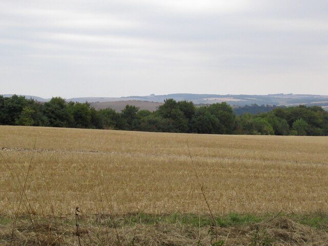
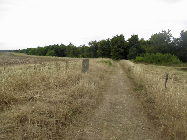
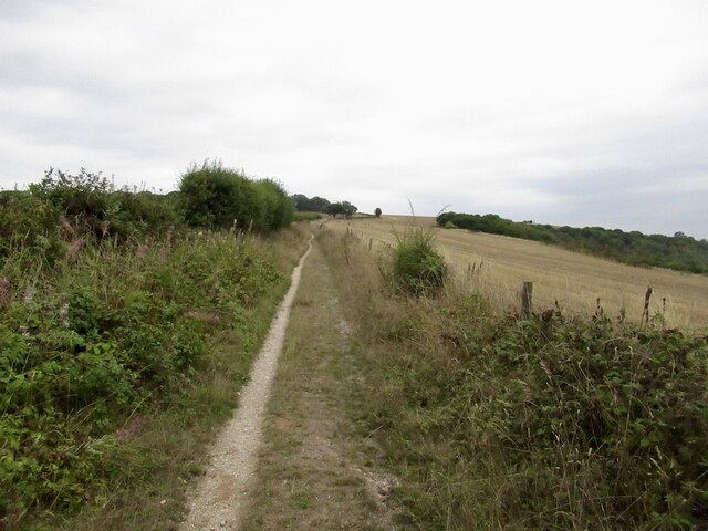
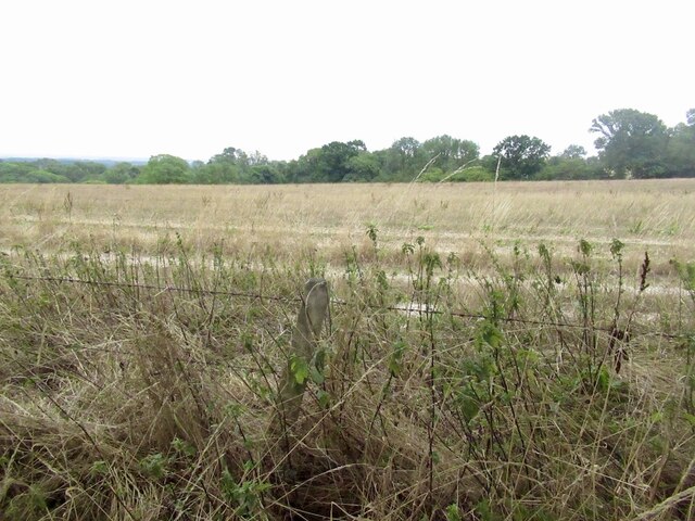
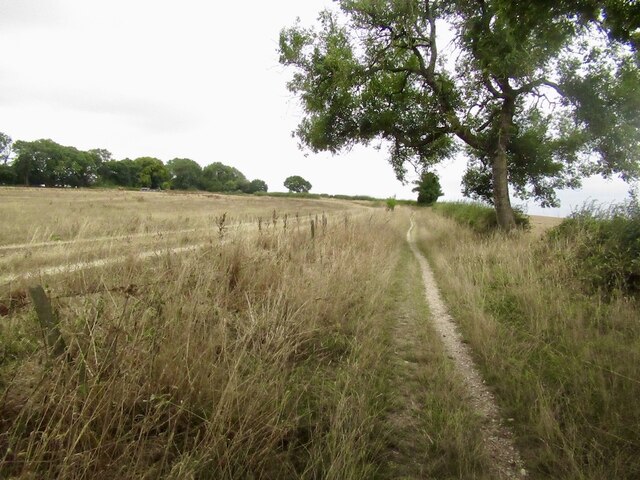
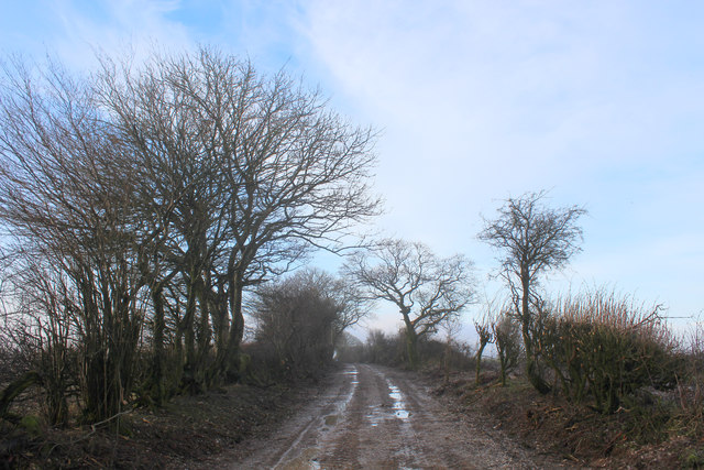
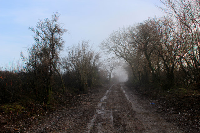
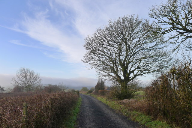
Turnworth is a small village located in the county of Dorset, England. Situated in the picturesque Blackmore Vale, it lies approximately 10 miles northeast of the market town of Dorchester and 8 miles west of Blandford Forum. This rural village is surrounded by rolling hills and stunning countryside, offering a tranquil and idyllic setting.
With a population of just under 100 residents, Turnworth is a close-knit community known for its peaceful atmosphere and strong community spirit. The village is characterized by a mix of traditional, charming cottages and larger, more modern properties. The architecture reflects the village's rich history, with buildings dating back several centuries.
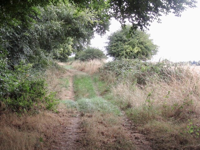
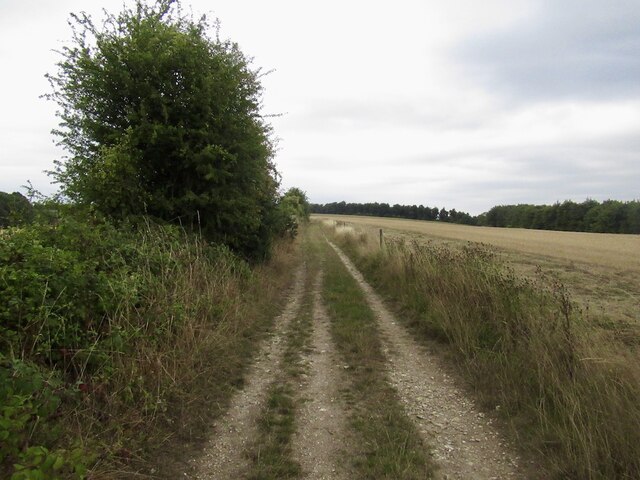
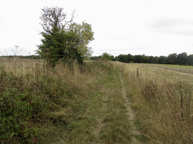
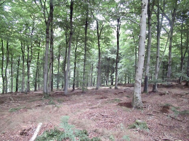
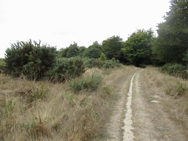
One of the notable landmarks in Turnworth is St Mary's Church, a Grade I listed building that dates back to the 12th century. The church features a beautiful Norman doorway and a striking tower, making it a focal point of the village. The surrounding countryside offers ample opportunities for outdoor activities such as hiking, cycling, and horse riding.
Although Turnworth is a small village, it benefits from its proximity to larger towns such as Dorchester and Blandford Forum, where residents can find a wider range of amenities including shops, schools, and healthcare facilities. The village is well-connected by road, with easy access to the A354 and A31, making it convenient for those commuting to nearby towns or cities.
In summary, Turnworth is a charming and peaceful village nestled in the stunning Dorset countryside. With its rich history, close-knit community, and beautiful surroundings, it provides a tranquil haven for its residents and visitors alike.
If you have any feedback on the listing, please let us know in the comments section below.
Turnworth Images
Images are sourced within 2km of 50.872405/-2.2607783 or Grid Reference ST8108. Thanks to Geograph Open Source API. All images are credited.


Turnworth is located at Grid Ref: ST8108 (Lat: 50.872405, Lng: -2.2607783)
Unitary Authority: Dorset
Police Authority: Dorset
What 3 Words
///impose.newer.winded. Near Shillingstone, Dorset
Nearby Locations
Related Wikis

Turnworth
Turnworth is a small village and civil parish in north Dorset, England, situated on the Dorset Downs five miles (eight kilometres) west of Blandford Forum...

Ringmoor
The Ringmoor settlement is an Iron Age/Romano-British farming settlement in Dorset, England. It is between the villages of Okeford Fitzpaine and Turnworth...
Shillingstone Quarry
Shillingstone Quarry SSSI, Dorset (grid reference ST823098) is an 8.13 hectare geological Site of Special Scientific Interest in Dorset, England, notified...

Bell Hill, Dorset
At 258 metres, Bell Hill is one of the highest hills in the county of Dorset, England and a high point on the Wessex Ridgeway. == Location == Bell Hill...

Blandford Forest
Blandford Forest is a scattered area of woodland centred to the northwest of the town of Blandford Forum in North Dorset, England. == Location == According...

Belchalwell Street
Belchalwell Street is a village in Dorset, England, at the foot of Bell Hill, generally included in the village of Belchalwell. == External links == Belchalwell

Church of St Eustace, Ibberton
The Parish Church of St Eustace is a Grade II* listed Anglican church in the village of Ibberton, Dorset. It stands to the south of the village, on a steep...

St Aldhelm's Church, Belchalwell
St Aldhelm's Church is a Grade II* listed Anglican church in the village of Belchalwell, Dorset. It is in the ecclesiastical parish of Belchalwell, which...
Nearby Amenities
Located within 500m of 50.872405,-2.2607783Have you been to Turnworth?
Leave your review of Turnworth below (or comments, questions and feedback).