Clapper Plantation

Wood, Forest in Dorset

England

Clapper Plantation

Track, Shillingstone Hill On the woodland edge.
Track, Shillingstone Hill Credit: Richard Webb

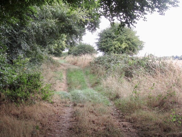
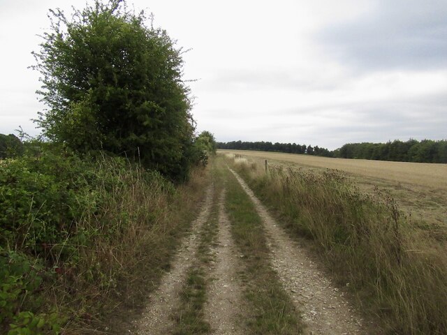
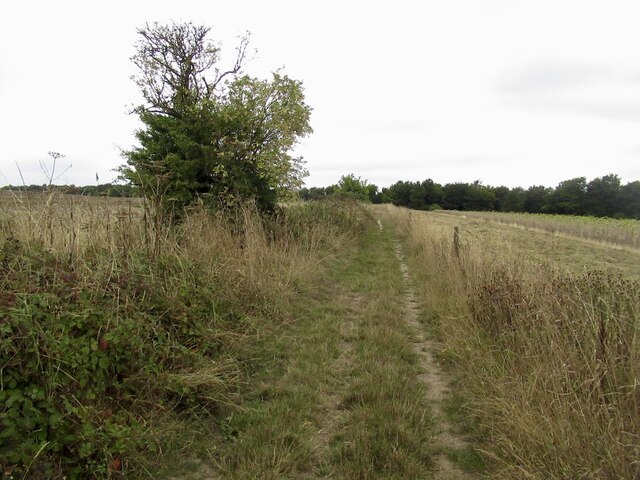
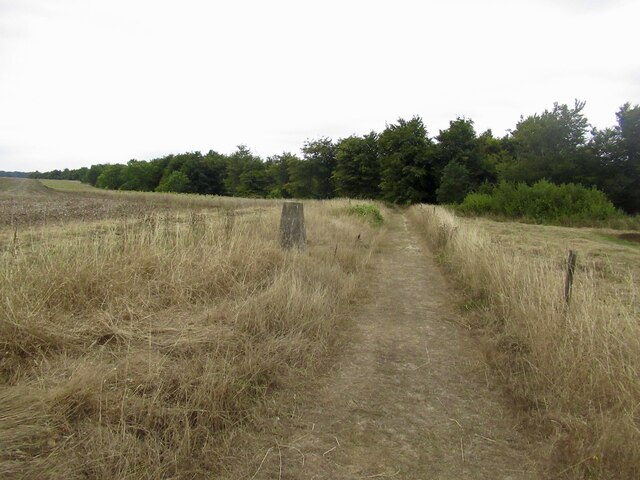
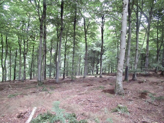
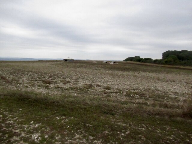
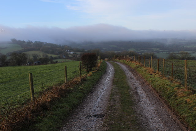
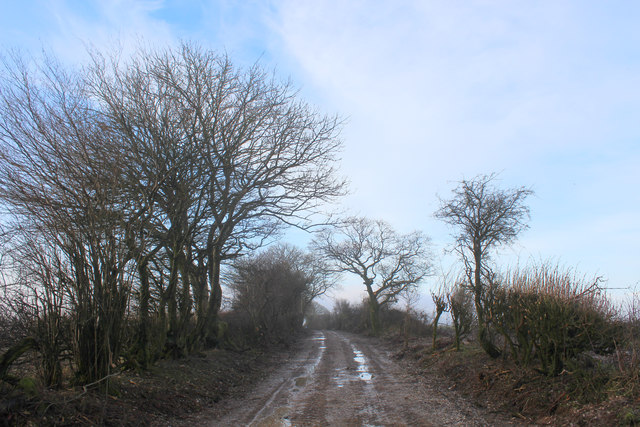
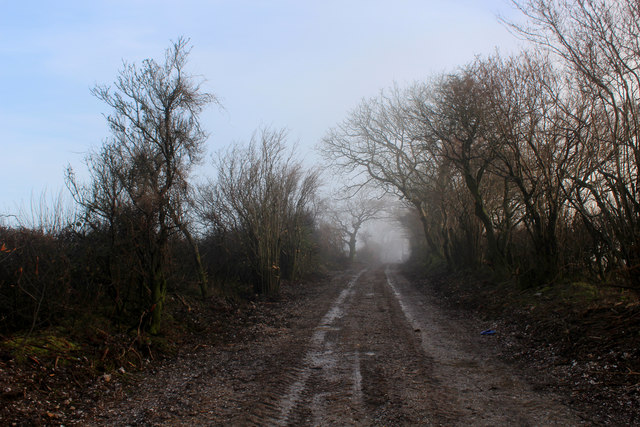
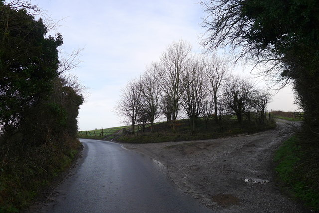
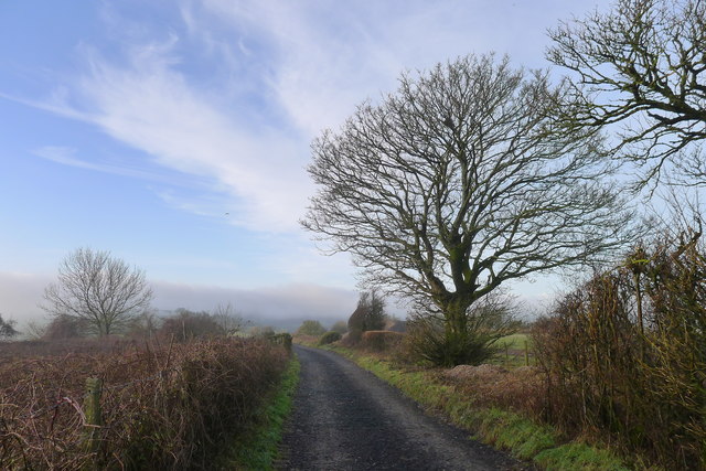
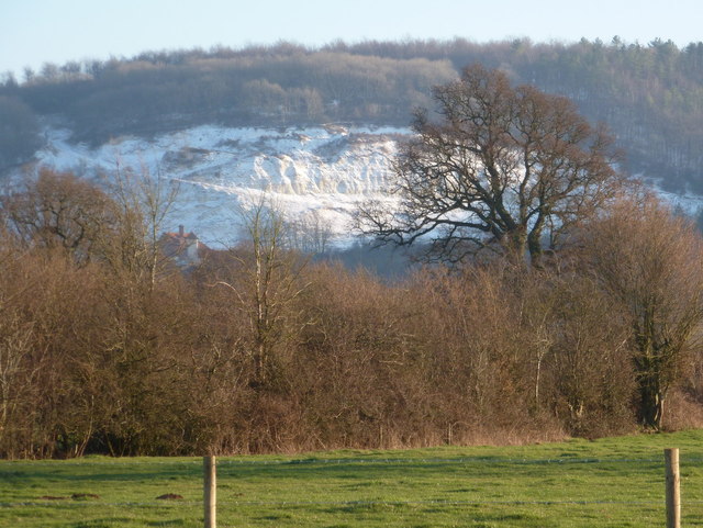
Clapper Plantation, located in Dorset, England, is a picturesque woodland area known for its natural beauty and diverse ecosystem. Covering an expansive area, the plantation is predominantly composed of dense woodlands and forests that have been carefully preserved and maintained over the years.

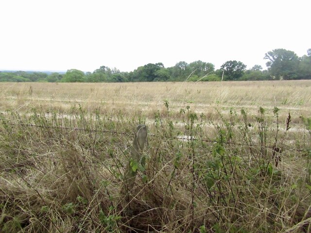
The plantation is home to a wide variety of tree species, including oak, beech, ash, and birch, which create a rich and vibrant canopy that provides a habitat for numerous plants and animals. The dense vegetation and moss-covered ground give the area a magical and enchanting feel, making it a popular destination for nature enthusiasts and photographers.

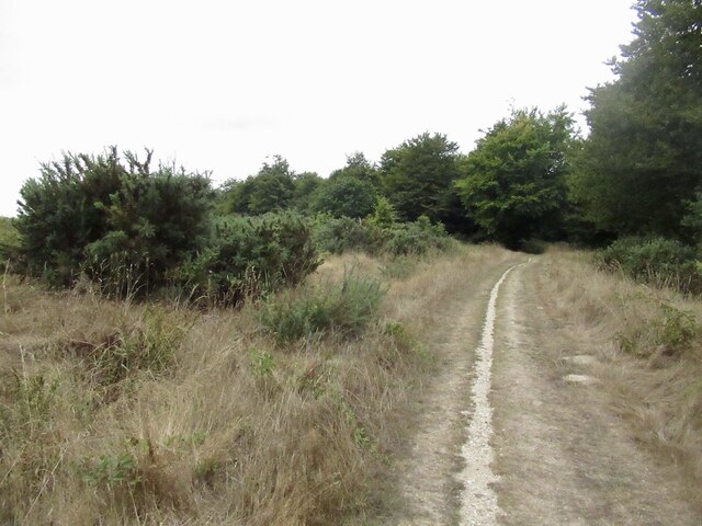
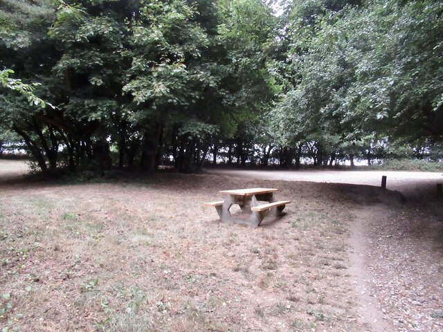
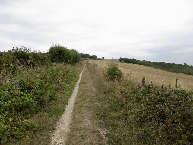
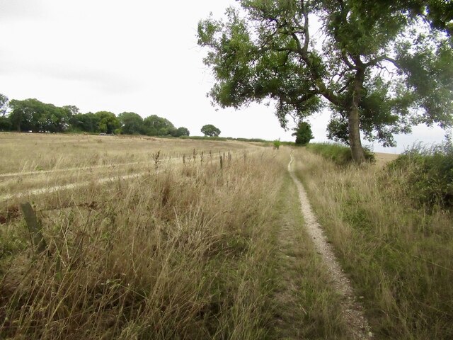
The woodland is crisscrossed by a network of walking trails, allowing visitors to explore the plantation at their own pace. These trails provide an opportunity to observe the diverse flora and fauna that call Clapper Plantation their home. Visitors may spot deer, foxes, badgers, and a multitude of bird species, making it a haven for wildlife lovers.

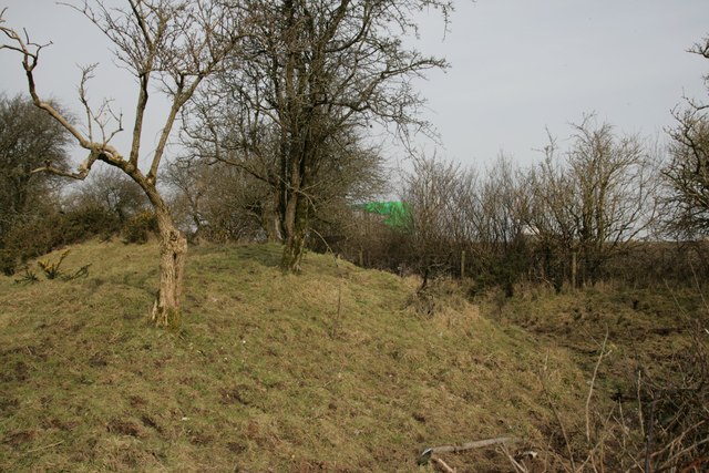
In addition to its natural wonders, Clapper Plantation also boasts historical significance. The area has been used for timber production and charcoal burning for centuries, with remnants of old saw pits and charcoal platforms still visible today. These historical elements add an extra layer of charm and intrigue to the plantation, allowing visitors to connect with the area's past.

Overall, Clapper Plantation in Dorset offers a tranquil and immersive experience in nature, combining breathtaking scenery, diverse wildlife, and a touch of history. Whether you are seeking a peaceful walk, an opportunity to reconnect with nature, or a chance to capture stunning photographs, Clapper Plantation is a must-visit destination.

If you have any feedback on the listing, please let us know in the comments section below.

Clapper Plantation Images

Images are sourced within 2km of 50.872205/-2.2654813 or Grid Reference ST8108. Thanks to Geograph Open Source API. All images are credited.

Track, Shillingstone Hill On the woodland edge.
Track, Shillingstone Hill
On the woodland edge.
Track, Shillingstone Hill
Track, Shillingstone Hill On flatter high ground, the surrounding steep slopes are wooded.
Track, Shillingstone Hill
On flatter high ground, the surrounding steep slopes are wooded.
Triangulation pillar, Shillingstone Hill
Shillingstone Hill Runnable beech wood high on the hill, a contrast to the brambly stuff often found lower down.
Shillingstone Hill
Runnable beech wood high on the hill, a contrast to the brambly stuff often found lower down.
Track, Shillingstone Hill Used by the Wessex Ridgeway which I was dipping in and out of, heading west from Salisbury.
Track, Shillingstone Hill
Used by the Wessex Ridgeway which I was dipping in and out of, heading west from Salisbury.
Picnic place on Wessex Ridgeway Beside the tarred road over Turnworth Down
Picnic place on Wessex Ridgeway
Beside the tarred road over Turnworth Down
Chalk track, Bell Hill
Farmland, Turnworth
Farmland, Turnworth
Path on Bell Hill
Path on Bell Hill
Pigs, Pigs, Pigs Pigs on the summit field of Bell Hill
Pigs, Pigs, Pigs
Pigs on the summit field of Bell Hill
Cross Dyke at Ibberton
Wessex Ridgeway descending South West off Bell Hill Pleasant track heading towards the road on Ibberton Hill - mist can be seen forming ahead on Bulbarrow Hill.
Wessex Ridgeway descending South West off Bell Hill
Pleasant track heading towards the road on Ibberton Hill - mist can be seen forming ahead on Bulbarrow Hill.
Wessex Ridgeway ascending North East onto Bell Hill Hitting a fine track after an extended period of road walking.
Wessex Ridgeway ascending North East onto Bell Hill
Hitting a fine track after an extended period of road walking.
Wessex Ridgeway on Bell Hill (1) Heading south west on a wide track
Wessex Ridgeway on Bell Hill (1)
Heading south west on a wide track
Wessex Ridgeway on Bell Hill (2) Heading north east across the ridge of Bell Hill, with mist threatening to cloak the summit
Wessex Ridgeway on Bell Hill (2)
Heading north east across the ridge of Bell Hill, with mist threatening to cloak the summit
Trck leading off Belchalwell Street The Wessex Ridgeway path leaves the tarred road to take a rough track along the ridge of Bell Hill
Trck leading off Belchalwell Street
The Wessex Ridgeway path leaves the tarred road to take a rough track along the ridge of Bell Hill
Track along the top of Bell Hill
Show me another place!

Clapper Plantation is located at Grid Ref: ST8108 (Lat: 50.872205, Lng: -2.2654813)

Unitary Authority: Dorset

Police Authority: Dorset

What 3 Words

///breathing.signs.jammy. Near Shillingstone, Dorset

Related Wikis

Ringmoor

The Ringmoor settlement is an Iron Age/Romano-British farming settlement in Dorset, England. It is between the villages of Okeford Fitzpaine and Turnworth...

Turnworth

Turnworth is a small village and civil parish in north Dorset, England, situated on the Dorset Downs five miles (eight kilometres) west of Blandford Forum...

Bell Hill, Dorset

At 258 metres, Bell Hill is one of the highest hills in the county of Dorset, England and a high point on the Wessex Ridgeway. == Location == Bell Hill...

Shillingstone Quarry

Shillingstone Quarry SSSI, Dorset (grid reference ST823098) is an 8.13 hectare geological Site of Special Scientific Interest in Dorset, England, notified...

Nearby Amenities

Located within 500m of 50.872205,-2.2654813
Material: wood
Power: pole
Source: bing
Lat/Long: 50.8681015/-2.2643489
Material: wood
Power: pole
Source: bing
Lat/Long: 50.8688437/-2.2645938
Material: wood
Power: pole
Source: bing
Lat/Long: 50.8696078/-2.264837
Material: wood
Power: pole
Source: bing
Lat/Long: 50.8705468/-2.2669599
Material: wood
Power: pole
Source: bing
Lat/Long: 50.8708013/-2.2663422
Material: wood
Power: pole
Source: bing
Lat/Long: 50.8710044/-2.2657228
Material: wood
Power: pole
Source: bing
Transformer: distribution
Lat/Long: 50.8712002/-2.2651505
The data included in this document is from www.openstreetmap.org. The data is made available under ODbL.

Have you been to Clapper Plantation?

Leave your review of Clapper Plantation below (or comments, questions and feedback).