The Common
Wood, Forest in Dorset
England
The Common
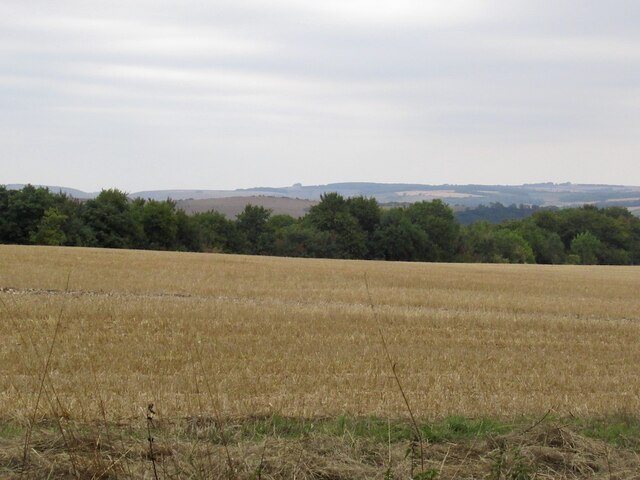
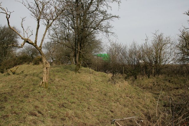
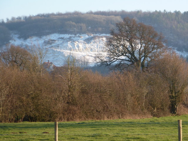
The Common, located in Dorset, is a vast wooded area that covers a significant part of the region. It is known for its rich biodiversity, comprising a variety of trees, plants, and wildlife. The Common is a popular destination for nature enthusiasts and those seeking tranquility in the heart of nature.
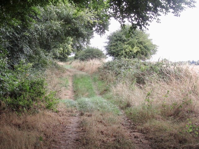
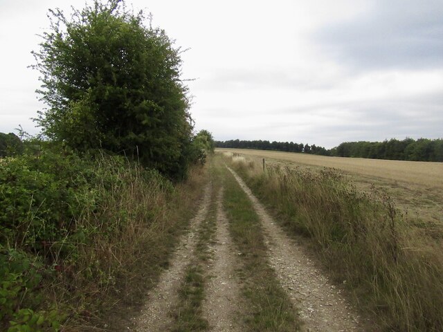
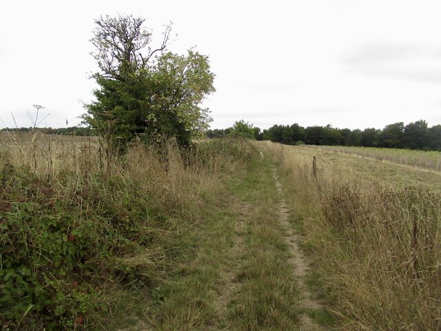
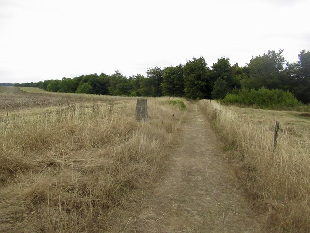
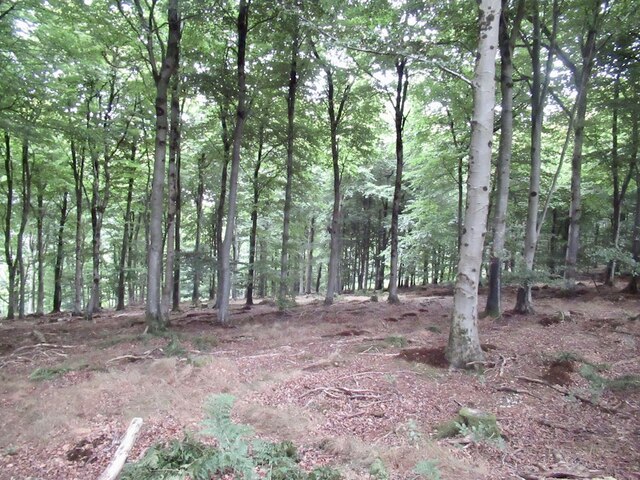
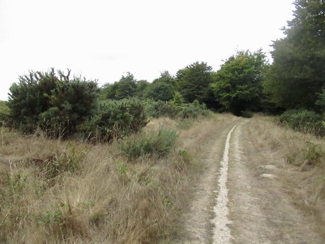
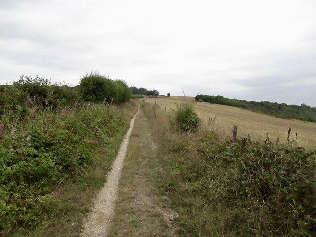
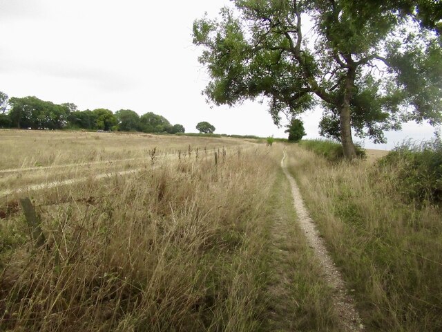
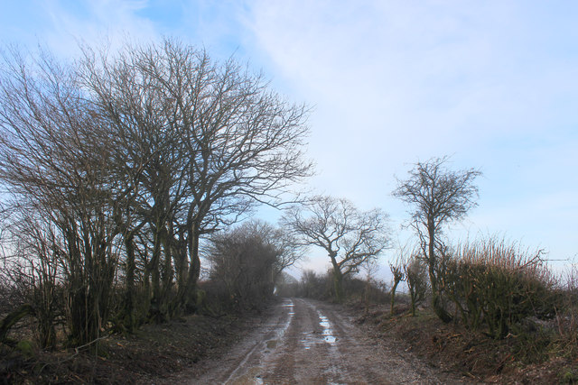
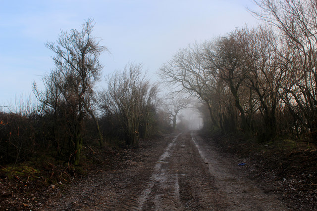
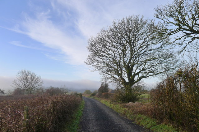
The woodland of The Common is primarily composed of broadleaf trees such as oak, beech, and ash, creating a dense canopy that provides shade and shelter. The forest floor is covered in a thick layer of leaf litter, creating a unique ecosystem that supports a wide range of flora and fauna. Numerous footpaths and trails crisscross the area, allowing visitors to explore and appreciate its beauty.
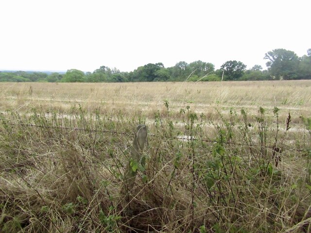
Wildlife is abundant in The Common, with numerous species of birds, mammals, and insects calling it their home. Birdwatchers can spot various species such as woodpeckers, nuthatches, and owls, while lucky visitors may even catch a glimpse of deer or foxes roaming through the undergrowth. The Common is also home to a diverse range of insects, including butterflies, beetles, and spiders.
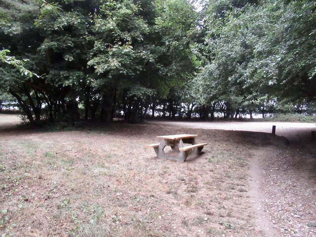
The Common is not only a haven for wildlife but also a popular recreational spot for locals and tourists alike. Walking, jogging, and cycling are common activities enjoyed by visitors, who can also have picnics or simply relax amidst the peaceful surroundings. The beauty and tranquility of The Common make it an ideal escape from the hustle and bustle of everyday life, allowing visitors to immerse themselves in the wonders of nature.
If you have any feedback on the listing, please let us know in the comments section below.
The Common Images
Images are sourced within 2km of 50.876577/-2.264625 or Grid Reference ST8108. Thanks to Geograph Open Source API. All images are credited.


The Common is located at Grid Ref: ST8108 (Lat: 50.876577, Lng: -2.264625)
Unitary Authority: Dorset
Police Authority: Dorset
What 3 Words
///cracking.bombard.protester. Near Shillingstone, Dorset
Nearby Locations
Related Wikis

Ringmoor
The Ringmoor settlement is an Iron Age/Romano-British farming settlement in Dorset, England. It is between the villages of Okeford Fitzpaine and Turnworth...

Turnworth
Turnworth is a small village and civil parish in north Dorset, England, situated on the Dorset Downs five miles (eight kilometres) west of Blandford Forum...
Shillingstone Quarry
Shillingstone Quarry SSSI, Dorset (grid reference ST823098) is an 8.13 hectare geological Site of Special Scientific Interest in Dorset, England, notified...

Bell Hill, Dorset
At 258 metres, Bell Hill is one of the highest hills in the county of Dorset, England and a high point on the Wessex Ridgeway. == Location == Bell Hill...
Nearby Amenities
Located within 500m of 50.876577,-2.264625Have you been to The Common?
Leave your review of The Common below (or comments, questions and feedback).