Turnworth Down
Downs, Moorland in Dorset
England
Turnworth Down
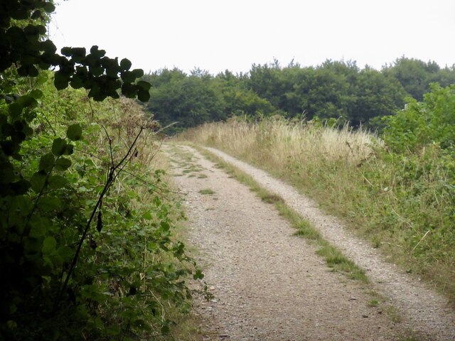
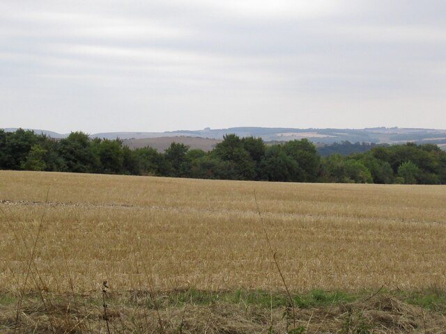
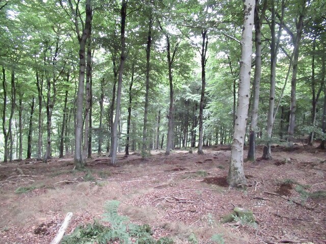
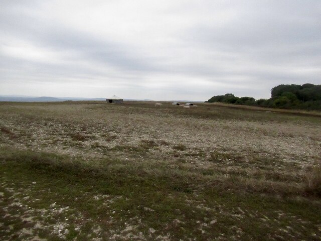
Turnworth Down is a picturesque area located in Dorset, England. It is situated in the Cranborne Chase and West Wiltshire Downs Area of Outstanding Natural Beauty. This hilly region is characterized by its rolling downs and vast expanses of moorland.
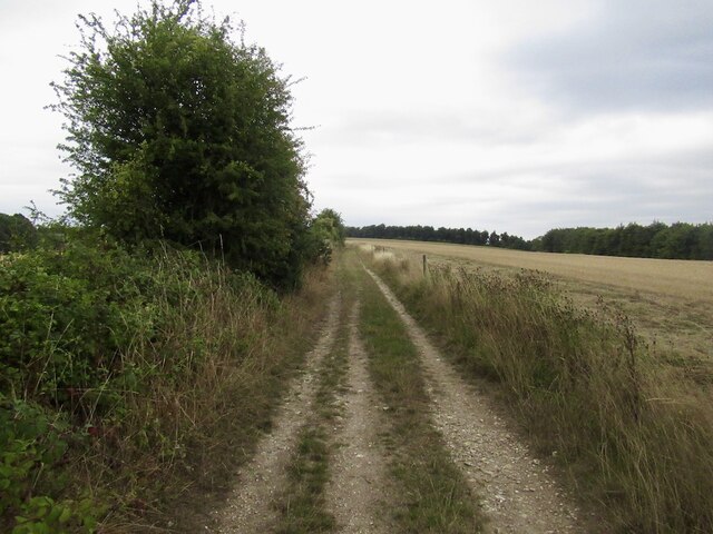
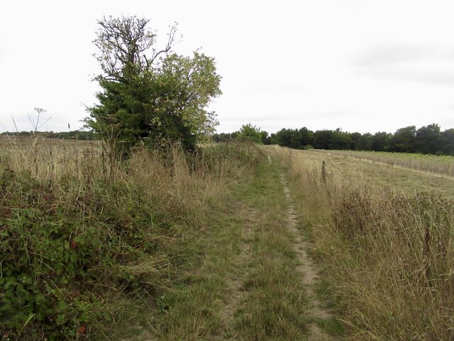
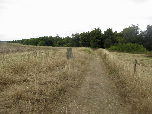
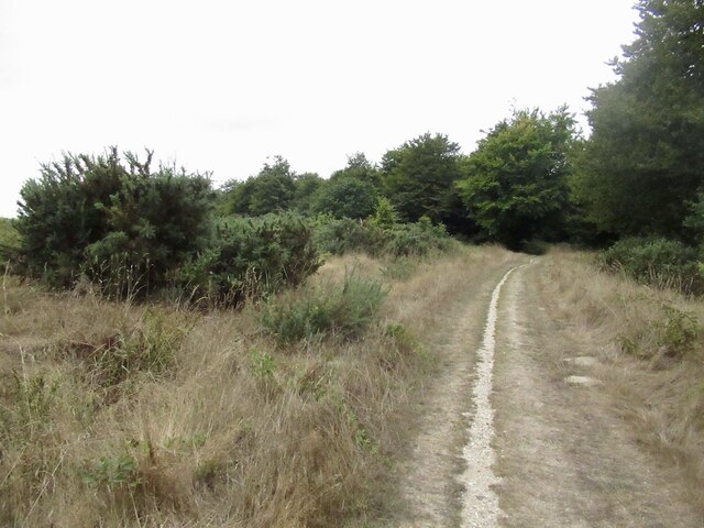
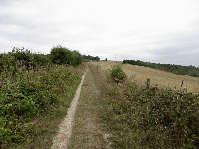
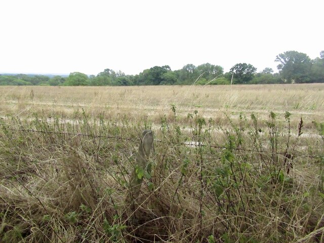
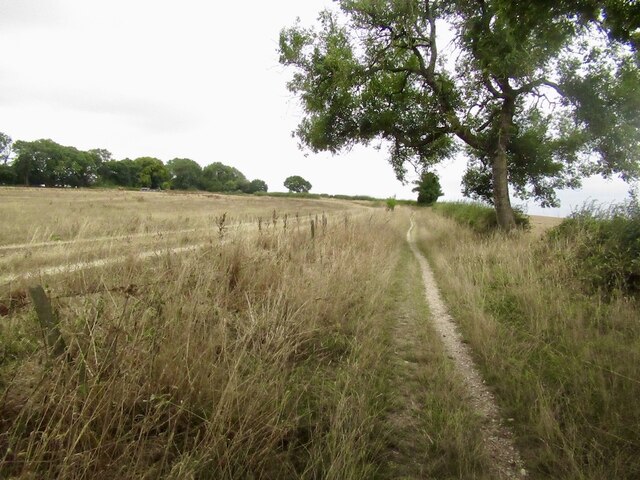
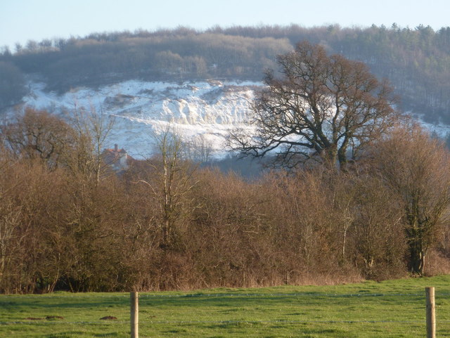
The landscape of Turnworth Down is dominated by sweeping grassy hills that provide stunning panoramic views of the surrounding countryside. The downland is covered in a patchwork of vibrant wildflowers during the summer months, creating a colorful and vibrant display. The area is also home to a variety of wildlife, including rabbits, deer, and numerous bird species.
One of the notable features of Turnworth Down is the presence of an Iron Age hillfort, known as Turnworth Rings. This ancient fortification is believed to have been constructed around 300 BC and offers a glimpse into the area's rich history. Visitors can explore the remnants of the hillfort, which consist of earthworks and ditches that once formed its defensive structure.
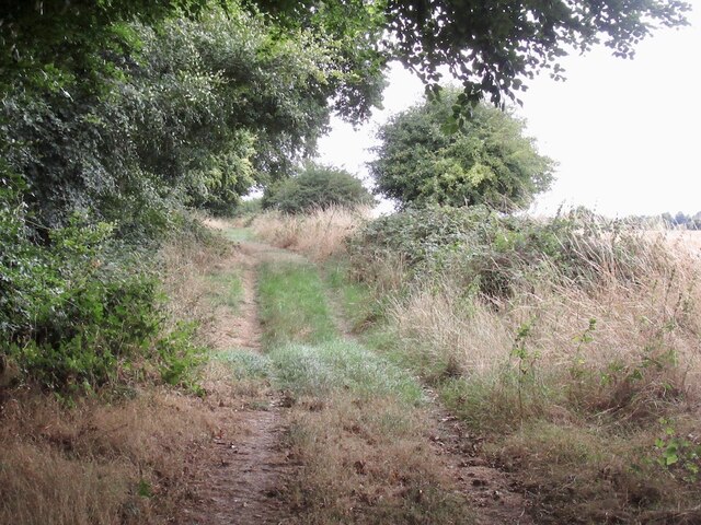
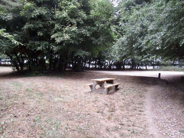
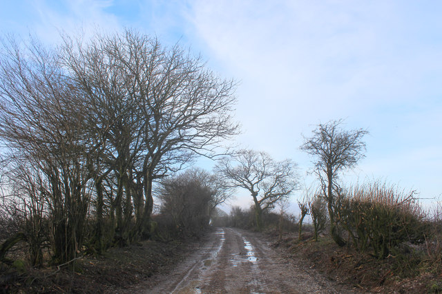
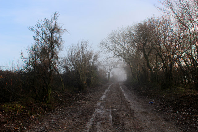
The moorland of Turnworth Down provides a stark contrast to the rolling downs. This wild and rugged terrain is interspersed with heather and gorse, creating a unique and beautiful landscape. The moorland is a haven for walkers and nature enthusiasts, offering numerous trails and paths to explore.
Overall, Turnworth Down is a picturesque and diverse landscape that showcases the natural beauty of Dorset. Its rolling downs, moorland, and historical sites make it a popular destination for those seeking outdoor activities and a connection with nature.
If you have any feedback on the listing, please let us know in the comments section below.
Turnworth Down Images
Images are sourced within 2km of 50.878445/-2.2620345 or Grid Reference ST8108. Thanks to Geograph Open Source API. All images are credited.


Turnworth Down is located at Grid Ref: ST8108 (Lat: 50.878445, Lng: -2.2620345)
Unitary Authority: Dorset
Police Authority: Dorset
What 3 Words
///capers.mocking.tasteful. Near Shillingstone, Dorset
Nearby Locations
Related Wikis

Ringmoor
The Ringmoor settlement is an Iron Age/Romano-British farming settlement in Dorset, England. It is between the villages of Okeford Fitzpaine and Turnworth...
Shillingstone Quarry
Shillingstone Quarry SSSI, Dorset (grid reference ST823098) is an 8.13 hectare geological Site of Special Scientific Interest in Dorset, England, notified...

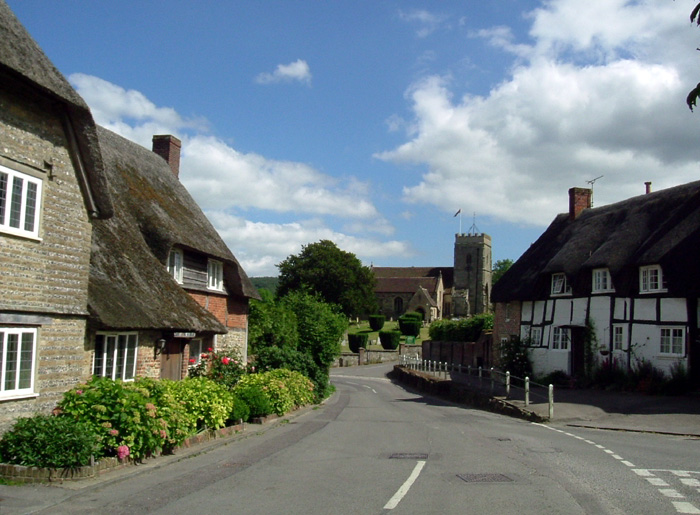
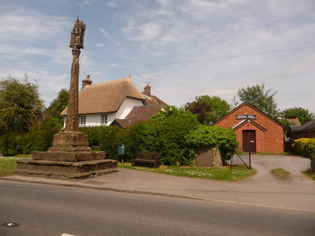
Turnworth
Turnworth is a small village and civil parish in north Dorset, England, situated on the Dorset Downs five miles (eight kilometres) west of Blandford Forum...

Bell Hill, Dorset
At 258 metres, Bell Hill is one of the highest hills in the county of Dorset, England and a high point on the Wessex Ridgeway. == Location == Bell Hill...

Belchalwell Street
Belchalwell Street is a village in Dorset, England, at the foot of Bell Hill, generally included in the village of Belchalwell. == External links == Belchalwell
Okeford Fitzpaine
Okeford Fitzpaine is a village and civil parish in the English county of Dorset, situated in the Blackmore Vale three miles (five kilometres) south of...
Shillingstone
Shillingstone is a village and civil parish in the Blackmore Vale area of north Dorset, England, situated on the River Stour between Sturminster Newton...

Blandford Forest
Blandford Forest is a scattered area of woodland centred to the northwest of the town of Blandford Forum in North Dorset, England. == Location == According...
Related Videos

Trig Point fun
Climbing a trig point.


Top of Dorset
Top of Dorset.
Nearby Amenities
Located within 500m of 50.878445,-2.2620345Have you been to Turnworth Down?
Leave your review of Turnworth Down below (or comments, questions and feedback).