Church Covert
Wood, Forest in Worcestershire Malvern Hills
England
Church Covert
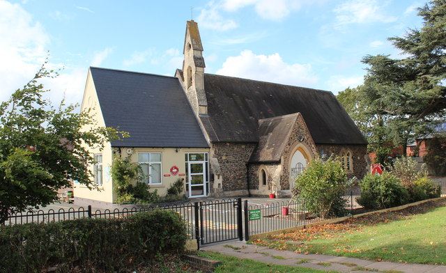
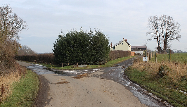
Church Covert is a small woodland area located in Worcestershire, England. Situated near the village of Wood, Forest, it covers an area of approximately 20 acres. The covert is named after the nearby Church of St. Mary, which has been a place of worship since medieval times.
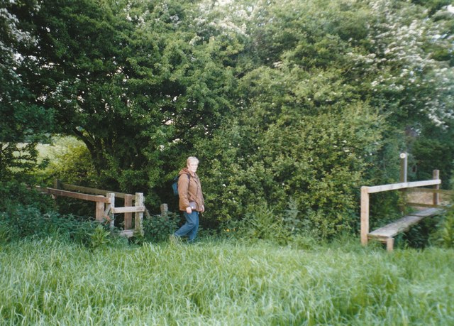
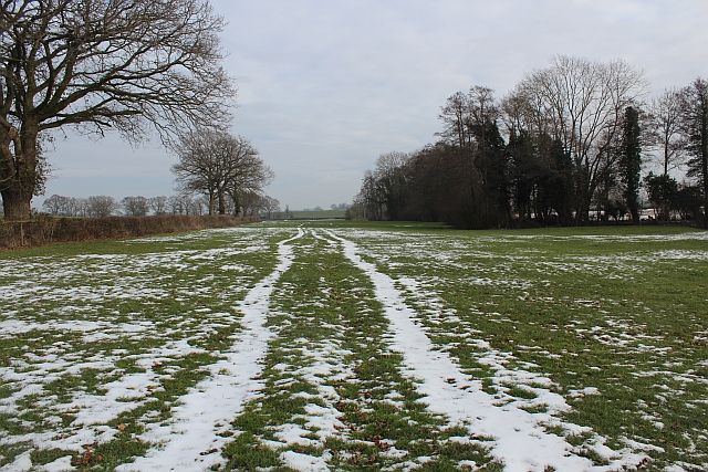
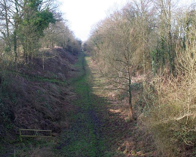
The woodland itself is predominantly composed of native deciduous trees, including oak, beech, and birch. It is characterized by a dense canopy that provides shade and creates a cool and tranquil environment. The forest floor is covered in a rich carpet of mosses, ferns, and wildflowers, creating a diverse and vibrant ecosystem.
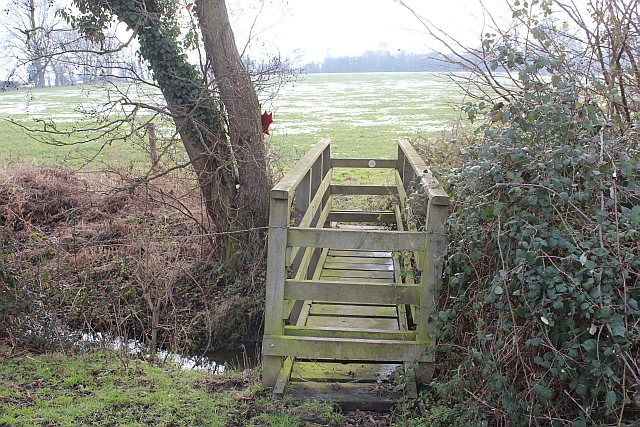
Church Covert is a popular destination for nature enthusiasts and hikers, offering a network of well-maintained trails that wind through the woods. These paths provide opportunities for visitors to explore the natural beauty of the area and observe the local wildlife, which includes a variety of bird species, small mammals, and insects.
The covert also serves as a habitat for several protected species, such as the great spotted woodpecker and the common dormouse. Conservation efforts have been put in place to preserve and enhance the biodiversity of the woodland, including the creation of nesting boxes and the control of invasive plant species.
Overall, Church Covert in Worcestershire is a cherished natural gem, offering a peaceful retreat from the surrounding urban areas. Its diverse flora and fauna make it an important ecological site, while its well-maintained trails make it an enjoyable destination for nature lovers and outdoor enthusiasts.
If you have any feedback on the listing, please let us know in the comments section below.
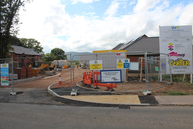
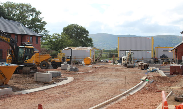
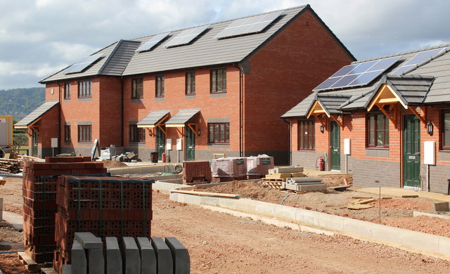
Church Covert Images
Images are sourced within 2km of 52.090158/-2.2781582 or Grid Reference SO8143. Thanks to Geograph Open Source API. All images are credited.


Church Covert is located at Grid Ref: SO8143 (Lat: 52.090158, Lng: -2.2781582)
Administrative County: Worcestershire
District: Malvern Hills
Police Authority: West Mercia
What 3 Words
///pigtails.grills.detriment. Near Great Malvern, Worcestershire
Nearby Locations
Related Wikis

British National Fencing Museum
The British National Fencing Museum is the national museum for Great Britain for the sport and martial art of fencing.The museum opened during the year...

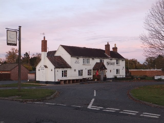
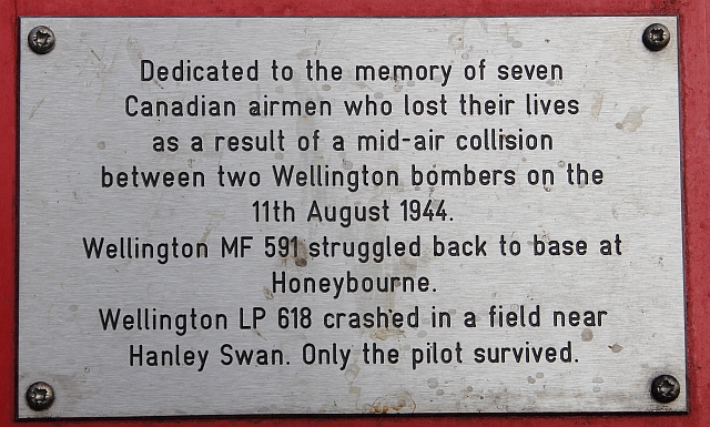
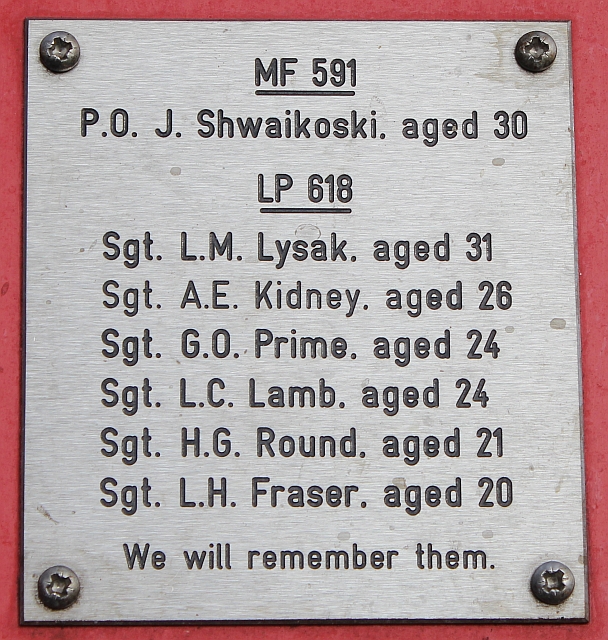
Hanley Swan
Hanley Swan is a small village in the English county of Worcestershire. It lies in the Malvern Hills district, between the towns of Malvern (two miles...

Guarlford
Guarlford is a village and civil parish in the Malvern Hills district in the county of Worcestershire, England. The parish population was 261 in 2021.It...

Poolbrook
Poolbrook is a village and a suburb of Malvern, Worcestershire, England, situated approximately 1.5 miles (2.4 km) southeast of Great Malvern, the town...
Brotheridge Green Nature Reserve
Brotheridge Green Nature Reserve is a nature reserve of the Worcestershire Wildlife Trust at Brotheridge Green, about 2.5 miles (4.0 km) west of Upton...
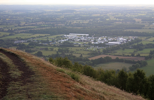
Three Counties Showground
The Three Counties Showground is a showground site in Malvern, Worcestershire, England, covering 90 acres (36 ha) owned by the Three Counties Agricultural...
The Chase School
The Chase School is a secondary school (ages 11–18) in Malvern, Worcestershire, England. The school opened as a Secondary Modern in 1953 under headteacher...

Malvern Hills Science Park
Malvern Hills Science Park is located on a 10 acre (4 Hectare) site in the Barnards Green suburb of Malvern, Worcestershire, England. It is a partnership...
Nearby Amenities
Located within 500m of 52.090158,-2.2781582Have you been to Church Covert?
Leave your review of Church Covert below (or comments, questions and feedback).