Apsimore Wood

Wood, Forest in Gloucestershire Cotswold

England

Apsimore Wood

Old Milestone, A46 In the parish of Hawkesbury, just North of Starveall. On the Eastern verge, buried up to half of the existing original plate. Rivet Benchmark representing 189.7 m ASL. 

Inscription: Bath / XVI / Glou / XXII

Milestone Society National ID: GL_BAGL16
Old Milestone, A46 Credit: Mr Red

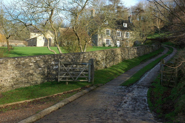
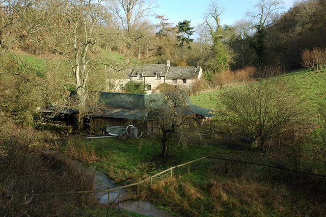
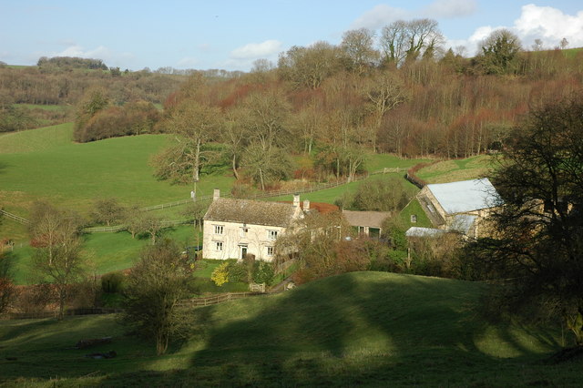
Apsimore Wood is a picturesque woodland located in the county of Gloucestershire, England. Covering an area of approximately 100 acres, the wood is nestled in the heart of the Forest of Dean, a renowned area of natural beauty.

Apsimore Wood is primarily composed of deciduous trees, such as oak, beech, and ash, which create a stunning canopy of vibrant green during the spring and summer months. The woodland floor is adorned with a variety of wildflowers, including bluebells and primroses, adding bursts of color to the already enchanting landscape.

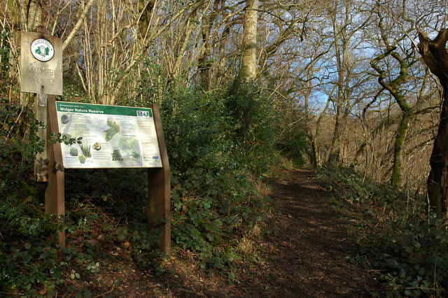
The wood is crisscrossed by a network of well-maintained footpaths, allowing visitors to explore its tranquil surroundings at their own pace. These paths lead to hidden glades and secluded clearings, providing ample opportunities for wildlife spotting and peaceful contemplation.

Apsimore Wood is home to a diverse range of fauna, including badgers, deer, and a plethora of bird species. Birdwatchers will delight in the chance to spot woodpeckers, owls, and various warblers, amongst others. The wood also boasts a healthy population of butterflies and other insects, attracting nature enthusiasts of all kinds.

The wood is a popular destination for both locals and tourists alike, offering a peaceful retreat from the hustle and bustle of everyday life. Visitors can enjoy picnicking, photography, or simply taking a leisurely stroll through the beautiful woodland.

Apsimore Wood truly embodies the natural splendor of Gloucestershire, providing a haven of tranquility and beauty for all who visit.

If you have any feedback on the listing, please let us know in the comments section below.

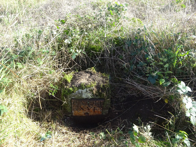
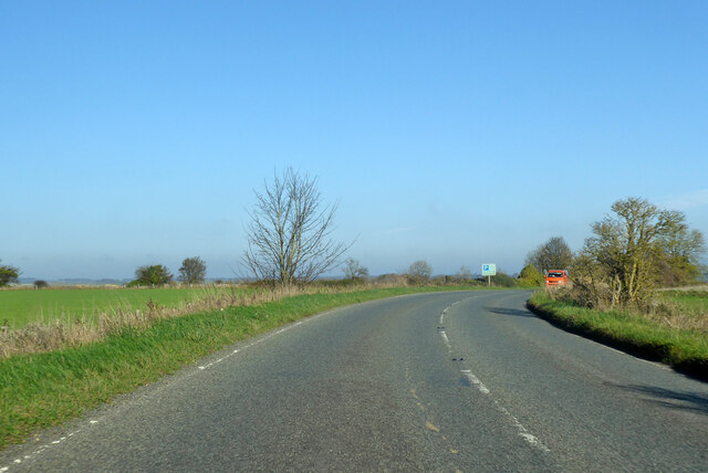
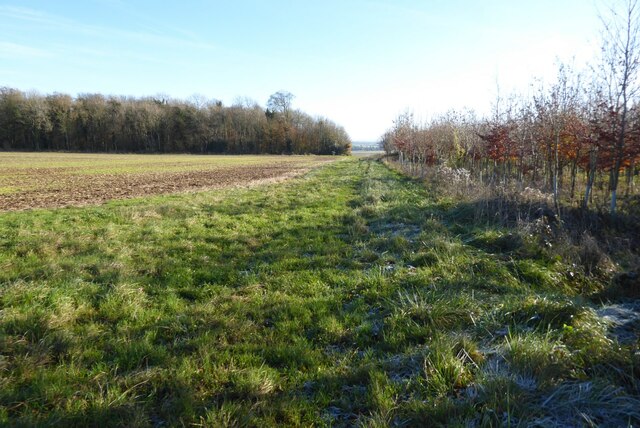
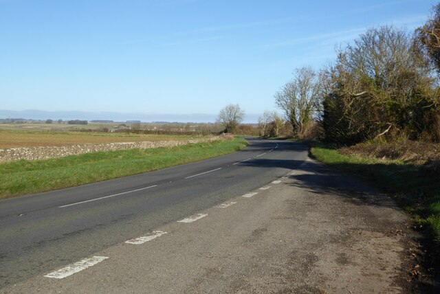
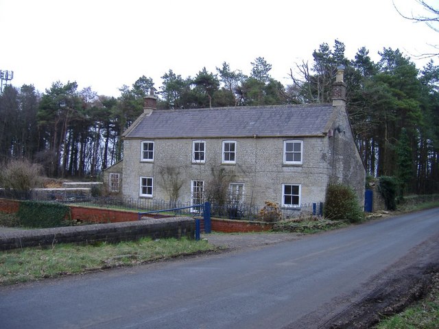
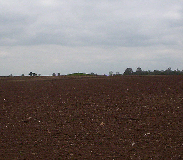
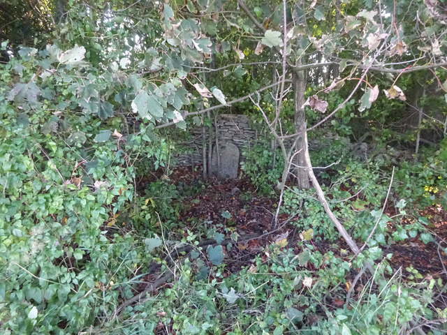
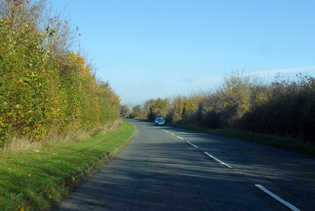
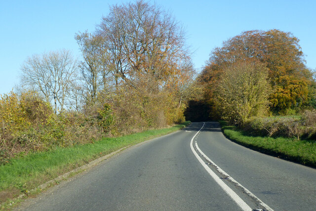
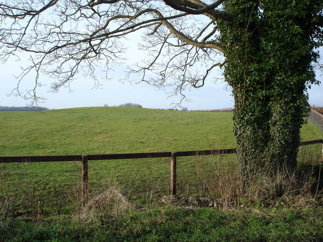
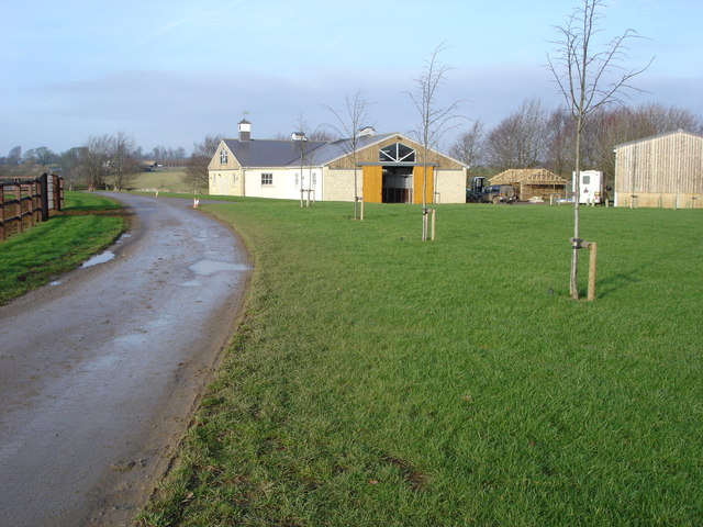
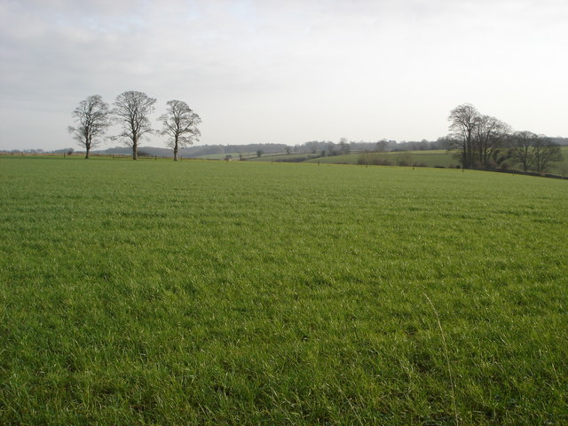
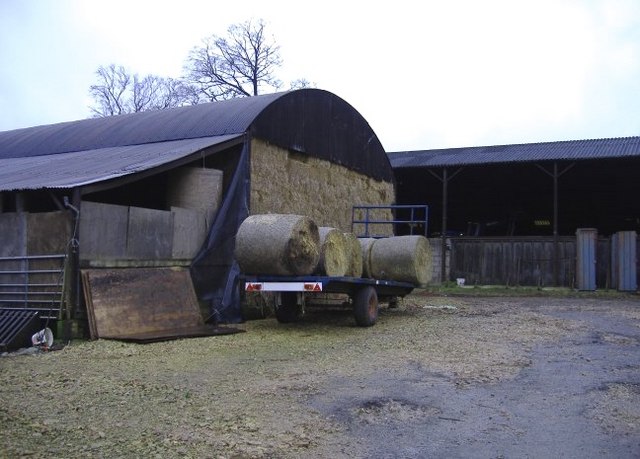
Apsimore Wood Images

Images are sourced within 2km of 51.601354/-2.2750577 or Grid Reference ST8189. Thanks to Geograph Open Source API. All images are credited.

Old Milestone, A46 In the parish of Hawkesbury, just North of Starveall. On the Eastern verge, buried up to half of the existing original plate. Rivet Benchmark representing 189.7 m ASL. 

Inscription: Bath / XVI / Glou / XXII

Milestone Society National ID: GL_BAGL16
Old Milestone, A46
In the parish of Hawkesbury, just North of Starveall. On the Eastern verge, buried up to half of the existing original plate. Rivet Benchmark representing 189.7 m ASL. Inscription: Bath / XVI / Glou / XXII Milestone Society National ID: GL_BAGL16
A46 heading north Towards Stroud.
A46 heading north
Towards Stroud.
Restricted byway to Oldbury on the Hill This right of way across farmland is just metres to the north of the county boundary between Gloucestershire and South Gloucestershire.
Restricted byway to Oldbury on the Hill
This right of way across farmland is just metres to the north of the county boundary between Gloucestershire and South Gloucestershire.
The A46 near Upper Kilcot
Upper Kilcott A view of the fine Georgian Upper Kilcott Farmhouse from the passing country road.  The house is Grade II listed, see: <span class="nowrap"><a title="https://historicengland.org.uk/listing/the-list/list-entry/1155957" rel="nofollow ugc noopener" href="https://historicengland.org.uk/listing/the-list/list-entry/1155957">Link</a><img style="margin-left:2px;" alt="External link" title="External link - shift click to open in new window" src="https://s1.geograph.org.uk/img/external.png" width="10" height="10"/></span>
Upper Kilcott
A view of the fine Georgian Upper Kilcott Farmhouse from the passing country road. The house is Grade II listed, see: LinkExternal link
Midger Nature Reserve near Lower Kilcott In the care of Gloucestershire Wildlife Trust Midger Wood is an SSSI.
Midger Nature Reserve near Lower Kilcott
In the care of Gloucestershire Wildlife Trust Midger Wood is an SSSI.
Curtis Mill near Upper Kilcott
Wine Cellar Farm, Upper Kilcott
Starveall farm Situated at the crossroads of the A46 and three minor roads.
Starveall farm
Situated at the crossroads of the A46 and three minor roads.
Tumulus at Upper Kilcott. This is in a field not far from the long barrow seen from the roadside to the south.
Tumulus at Upper Kilcott.
This is in a field not far from the long barrow seen from the roadside to the south.
Old Milestone, A46 In the parish of Hawkesbury, just SE of the entrance to Saddlewood Manor. Well hidden in the trees, against the wall. Rivet BM representing 173.2 m ASL.

Inscription (was): Gloucester 21 / Bath 17

Milestone Society National ID: GL_BAGL17
Old Milestone, A46
In the parish of Hawkesbury, just SE of the entrance to Saddlewood Manor. Well hidden in the trees, against the wall. Rivet BM representing 173.2 m ASL. Inscription (was): Gloucester 21 / Bath 17 Milestone Society National ID: GL_BAGL17
A46 heading north Towards Stroud.
A46 heading north
Towards Stroud.
A46 heading north Towards Stroud.
A46 heading north
Towards Stroud.
Outbuildings, Didmarton Looking south from The Kings Arms pub.
Outbuildings, Didmarton
Looking south from The Kings Arms pub.
Tumuli beside the entrance to Park Wood Farm
Stables at Park Wood Farm
Farmland to the south of Leighterton
Glebe Barn farm A farmyard, west of Oldbury on the Hill.
Glebe Barn farm
A farmyard, west of Oldbury on the Hill.
Show me another place!

Apsimore Wood is located at Grid Ref: ST8189 (Lat: 51.601354, Lng: -2.2750577)

Administrative County: Gloucestershire

District: Cotswold

Police Authority: Gloucestershire

What 3 Words

///fluffed.skills.showrooms. Near Sherston, Wiltshire

Related Wikis

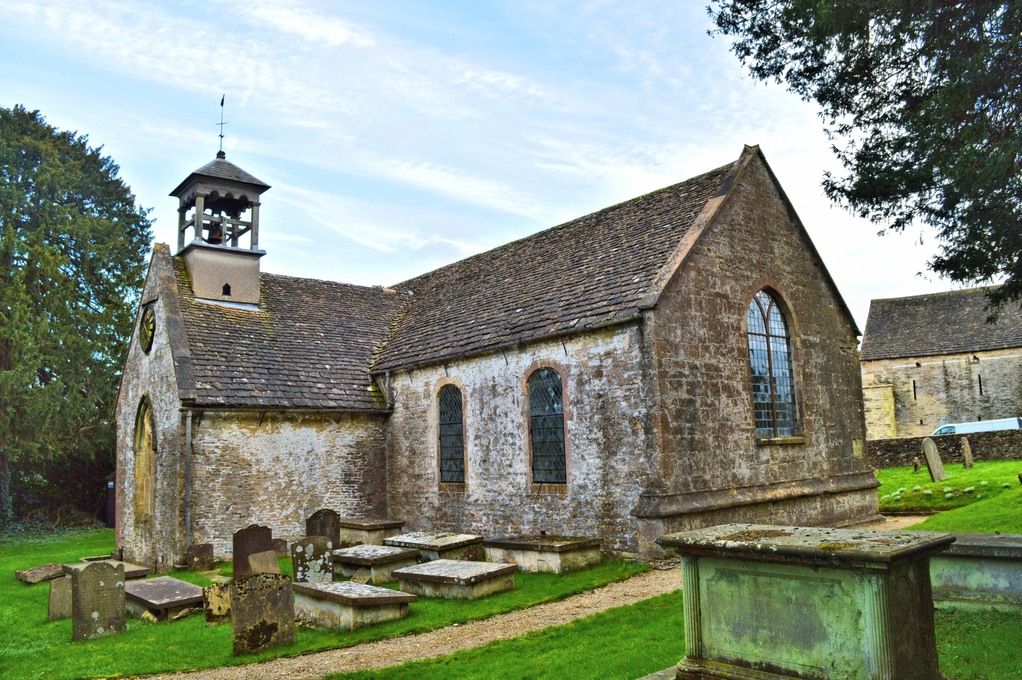
St Arild's Church, Oldbury-on-the-Hill

St Arild's Church is a historic Anglican church near the village of Oldbury-on-the-Hill, Gloucestershire, England under the care of The Churches Conservation...

Midger

Midger (grid reference ST797895) is a 65.7-hectare (162-acre) biological Site of Special Scientific Interest straddling the border of Gloucestershire and...

Oldbury-on-the-Hill

Oldbury-on-the-Hill is a small village and former civil parish, now in the parish of Didmarton, in the Cotswold district, in Gloucestershire, England,...

Boxwell with Leighterton

Boxwell with Leighterton is a civil parish in the Cotswold district of Gloucestershire, England. According to the 2001 census it had a population of 232...

Didmarton

Didmarton is a village and civil parish in Gloucestershire, England. It lies in the Cotswold District, about 6 miles (10 km) southwest of Tetbury. The...

Boxwell

Boxwell is a hamlet in Gloucestershire, England, near the village of Leighterton Boxwell Court is a Grade II* listed manor house from the 15th or 16th...

Church of St Lawrence, Didmarton

The Anglican Church of St Lawrence at Didmarton in the Cotswold District of Gloucestershire, England was built in the 13th century. It is a grade I listed...

Leighterton

Leighterton is a village in rural Gloucestershire off the A46. It sits within the civil parish of Boxwell with Leighterton, 4.25 miles west-southwest...

Nearby Amenities

Located within 500m of 51.601354,-2.2750577
Power: pole
Lat/Long: 51.6052178/-2.2717527
The data included in this document is from www.openstreetmap.org. The data is made available under ODbL.

Have you been to Apsimore Wood?

Leave your review of Apsimore Wood below (or comments, questions and feedback).