Chapel House Wood
Wood, Forest in Northumberland
England
Chapel House Wood
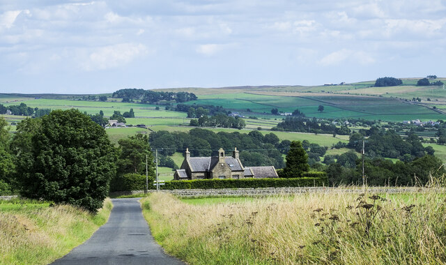
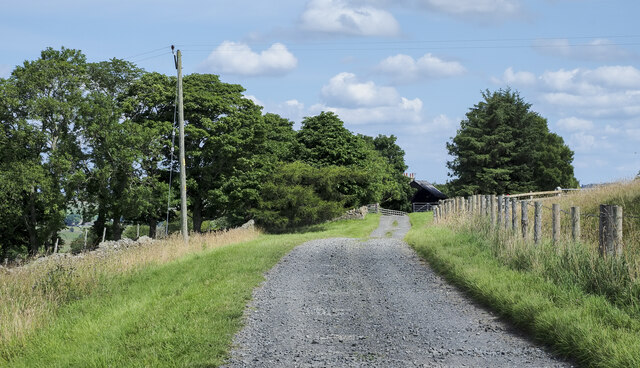
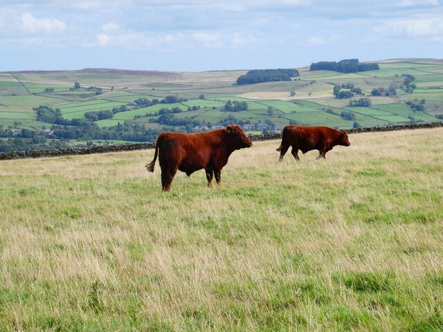
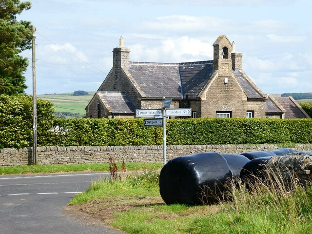
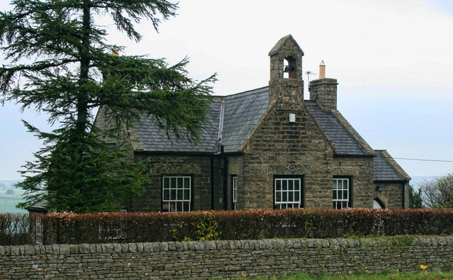
Chapel House Wood is a picturesque woodland located in Northumberland, England. Covering an area of approximately 100 acres, it is renowned for its natural beauty and diverse ecosystem. The wood is a mix of both coniferous and deciduous trees, including oak, beech, and spruce, creating a stunning landscape that changes with the seasons.
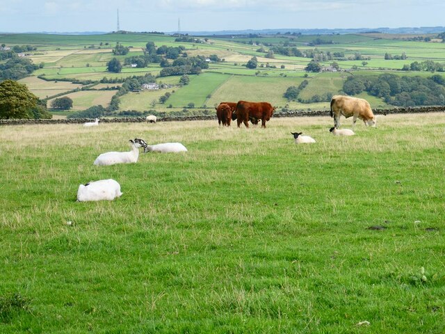
The woodland is known for its rich biodiversity, with a wide variety of flora and fauna calling it home. Visitors can spot birds such as woodpeckers, nuthatches, and tawny owls, as well as mammals like red squirrels, badgers, and foxes. The wood is also home to a number of rare and protected species, including the great crested newt and the white-clawed crayfish.
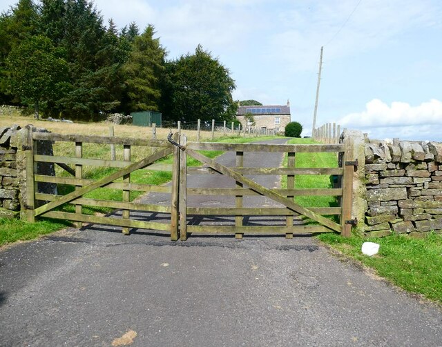
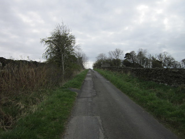
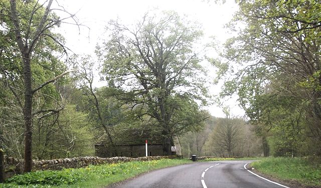
There are several well-maintained walking trails that wind through Chapel House Wood, allowing visitors to explore the area at their own pace. These trails offer breathtaking views of the surrounding countryside and provide opportunities for wildlife spotting and birdwatching. In addition, there are picnic areas and benches scattered throughout the wood, offering a perfect spot for a peaceful break or a family outing.
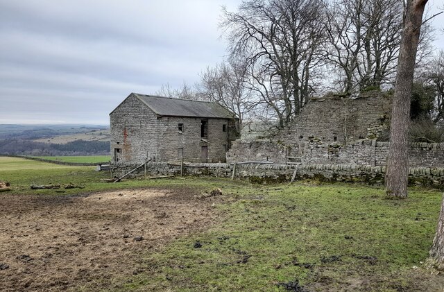
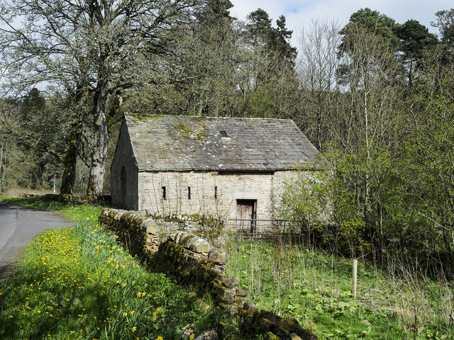
Chapel House Wood is not only a haven for nature lovers but also has historical significance. The remains of an ancient chapel, believed to date back to the 12th century, can be found within the wood. This adds an extra layer of intrigue and fascination to the overall experience.
Overall, Chapel House Wood is a must-visit destination for those seeking tranquility, natural beauty, and a chance to immerse themselves in the wonders of Northumberland's woodland ecosystem.
If you have any feedback on the listing, please let us know in the comments section below.
Chapel House Wood Images
Images are sourced within 2km of 54.910596/-2.2971344 or Grid Reference NY8157. Thanks to Geograph Open Source API. All images are credited.


Chapel House Wood is located at Grid Ref: NY8157 (Lat: 54.910596, Lng: -2.2971344)
Unitary Authority: Northumberland
Police Authority: Northumbria
What 3 Words
///entrusted.dating.flooding. Near Bardon Mill, Northumberland
Nearby Locations
Related Wikis

Catton, Northumberland
Catton is a village in Northumberland, England. It is about 7 miles (11 km) to the southwest of Hexham and is located on the outskirts of Allendale �...

Allen Confluence Gravels
The Allen Confluence Gravels is the name given to a Site of Special Scientific Interest (SSSI) in Northumberland, England. The site, listed since 1968...

Allendale railway station
Allendale railway station was the terminus of the single track branch of the Hexham and Allendale Railway, in north east England. The line connected villages...

Staward Halt railway station
Staward Halt is a closed stone built railway station situated on a single track branch railway line in Northumberland, England, that ran from Allendale...
Bearsbridge
Bearsbridge is a village in Northumberland, in England. It is situated to the west of Hexham, on the A686. == Governance == Bearsbridge is in the parliamentary...

Allendale, Northumberland
Allendale, often marked on maps as Allendale Town, is a village and civil parish in south west Northumberland, England. It is located within the North...

Museum of Classic Sci-Fi
The Museum of Classic Sci-Fi is in Allendale, Northumberland in England. The museum opened in 2018 and houses a collection of more than 200 props, costumes...
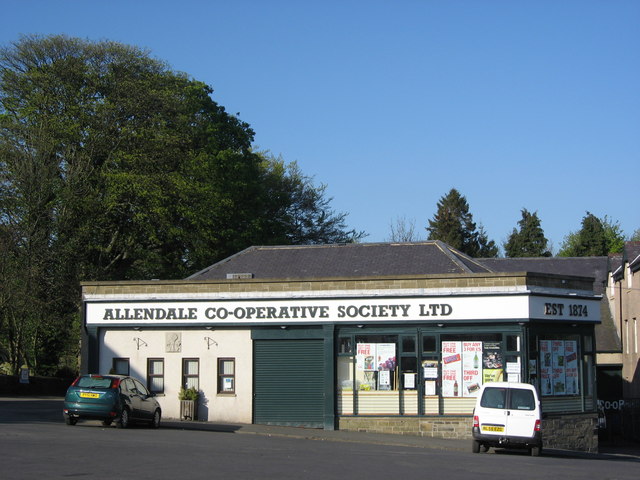
Allendale Co-operative Society
Allendale Co-operative Society is a small consumer co-operative in the village of Allendale, Northumberland, England. Founded in 1874 as the Allendale...
Nearby Amenities
Located within 500m of 54.910596,-2.2971344Have you been to Chapel House Wood?
Leave your review of Chapel House Wood below (or comments, questions and feedback).